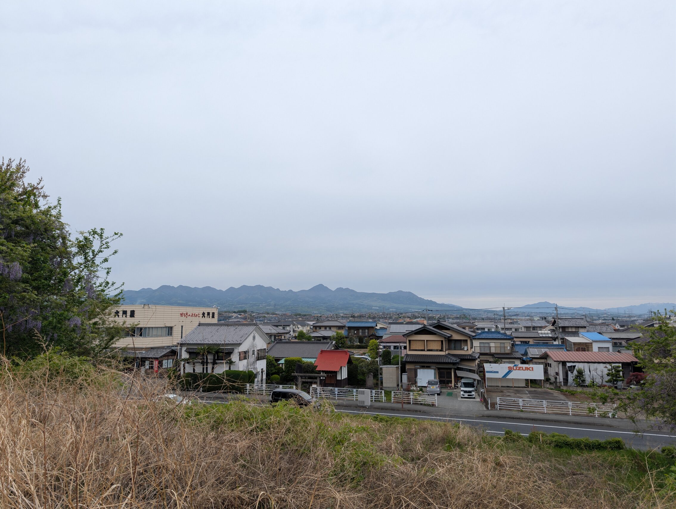
Heading out from Takasaki is where we leave the Kanto plain, or rather the Karasu river is a great boundary for this just at the western edge of the city. On the one side, there is a flat and mostly featureless terrain, and on the other side the hills rise wild and foreboding. There isn’t a noticable change in the level of the actual hiking just yet. The path winds through a valley beneath the growing hills and mountains on each side for a dozen kilometres or so first, but by the time it leaves Annaka-shuku the path is obviously going upwards in a way I haven’t been subjected to before. Mind you, it still isn’t particularly steep, but compared to the plains I have left behind it is a definite change.
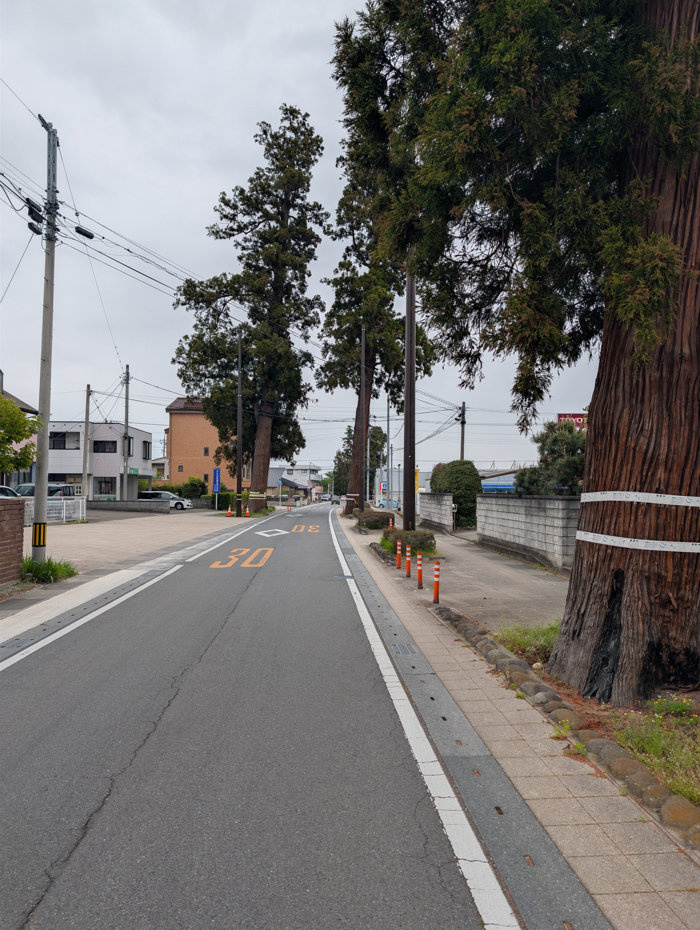
At the eastern end of Annaka-shuku there is a remnant of an impressive namiki, that is a row of trees planted along the road that would provide shade to travellers, and to help prevent erosion of the soil. At the beginning of the 19th century the namiki was over 1 kilometre in length and had over 700 trees. Of those only about 13 remain, with one having been struck by lightning rather recently. However, the municipality is trying to regrow at least parts of the namiki and have planted more than 30 new trees to replace a few of those that have been lost to modernisation and development. I counted 47 trees in the namiki today.
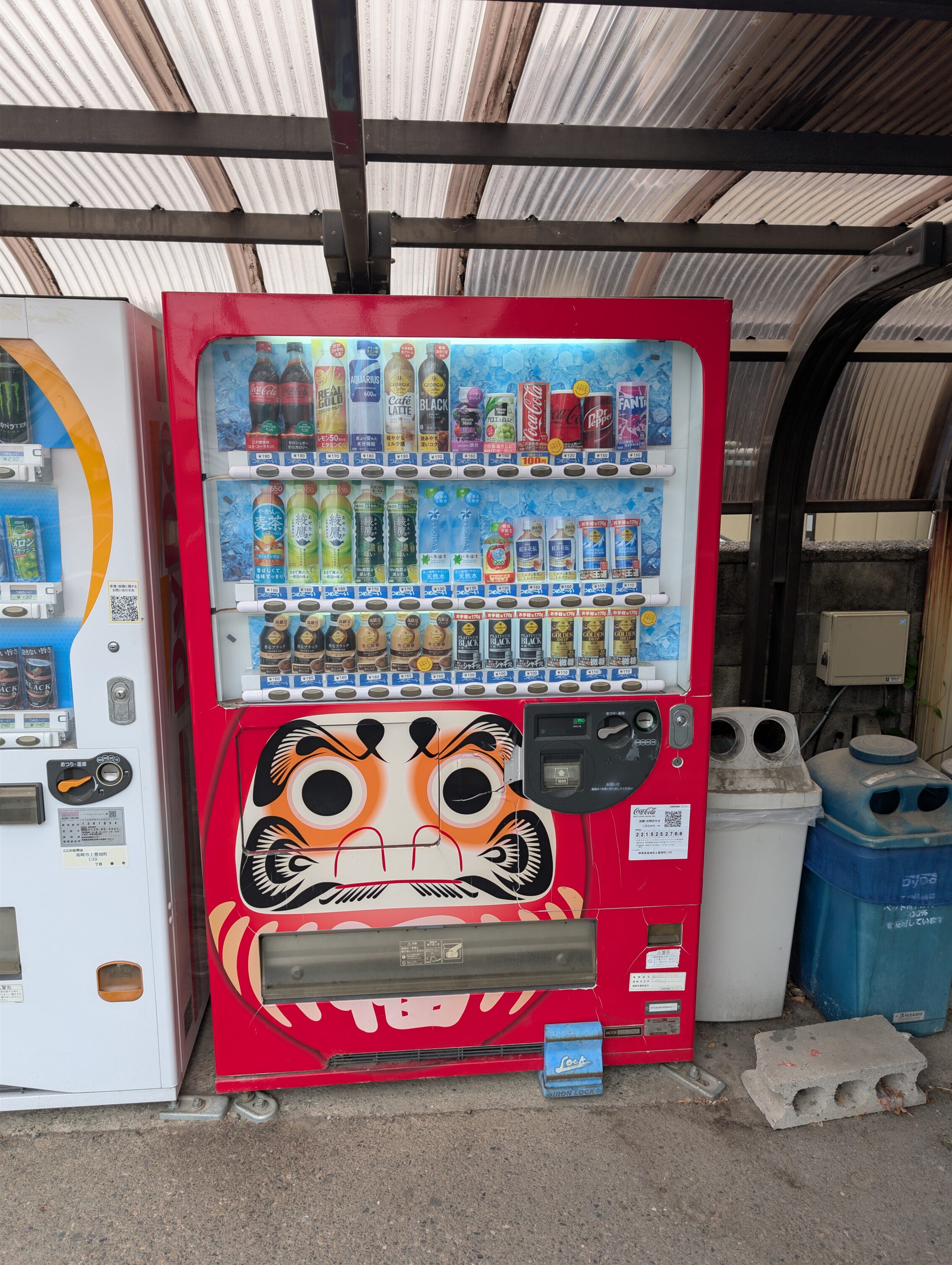
The darumi dolls kept being the centre of attention even outside of Takasaki, probably because of the temple south of Itahana.
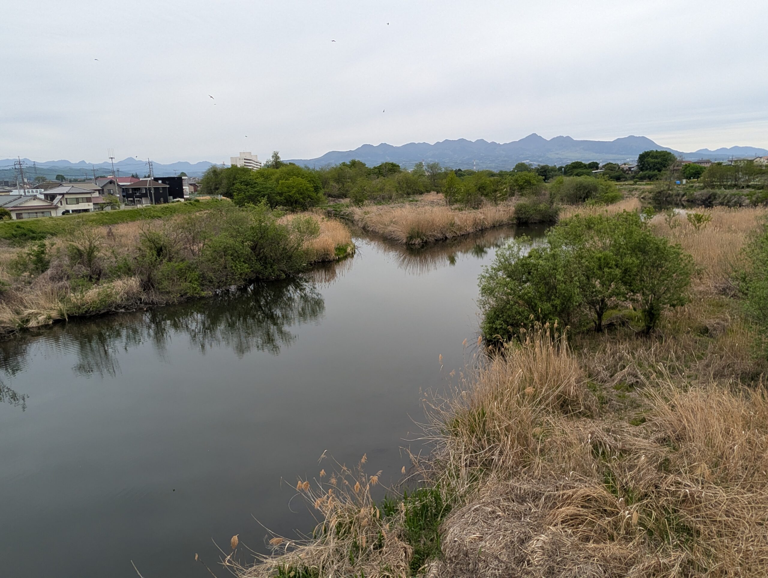
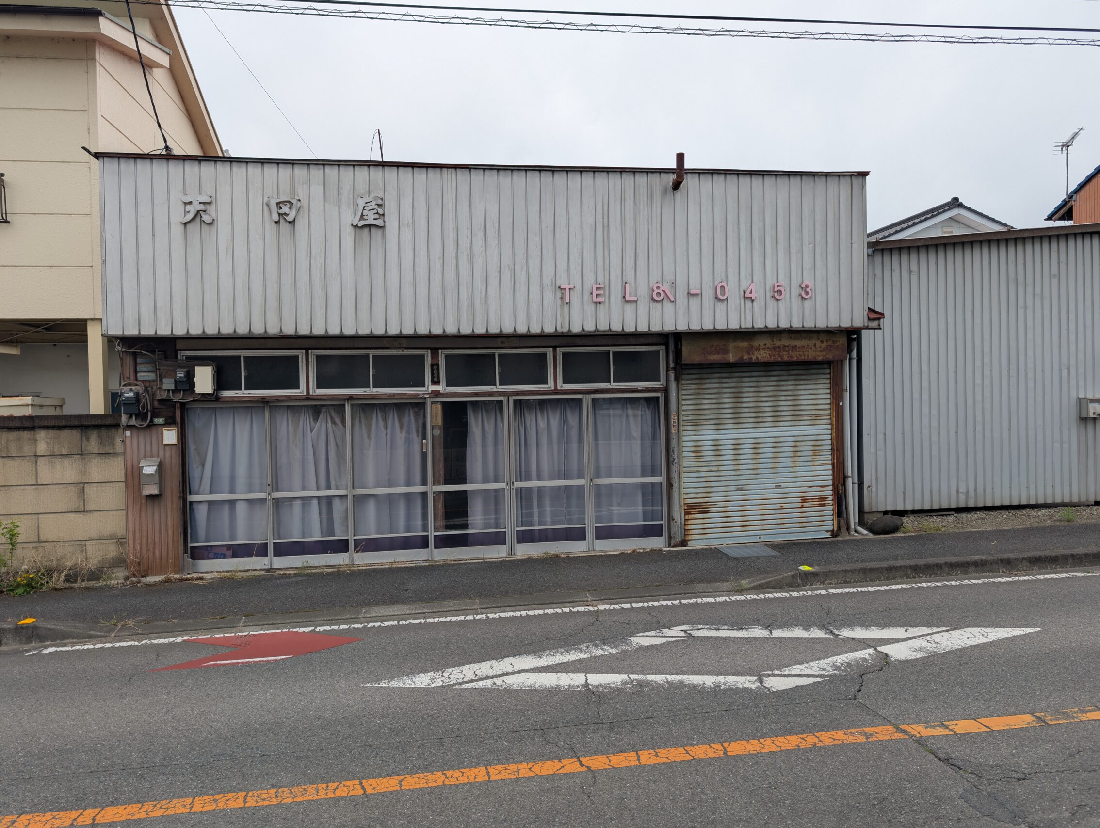
There were as I mentioned in the other posts wuite a lot of birds along the Usui river. This was mostly adjacent to Itahana-shuku, though, as the rest of the path along these three legs is mostly suburban. Itahana-shuku itself has very little of the Edo period left, just a smattering of run-down houses that might or might not be from the end of that period. Annaka-shuku was a much sorrier affair. While the houses along the path around the namiki were modern and nice, the former post town itself felt almost like a ghost town. There seemed to be almost more abanonded houses than occupied ones.
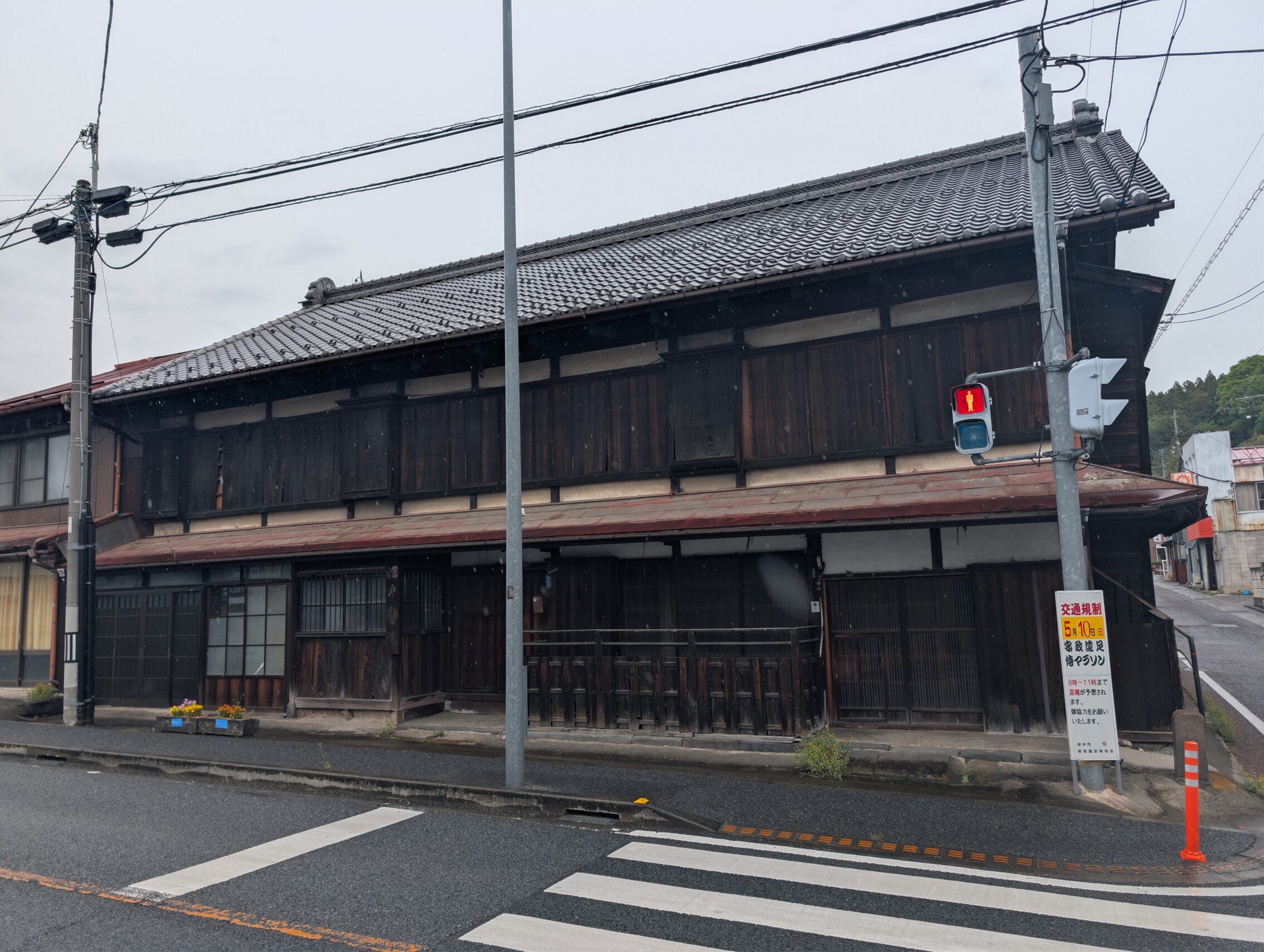
This isn’t specific to old post towns along the Nakasendō, but is something that is happening all across Japan. Young people are leaving the countryside for the large cities. This isn’t specific to Japan, of course, and is happening and has been happening for decades all across the world. Matsuida-shuku seemed to be faring a bit better, actually, but there were some signs of deterioration as well. They did have a number of nice old houses though!
The milestones we pass on these three legs are, in order from Takasaki-shuku
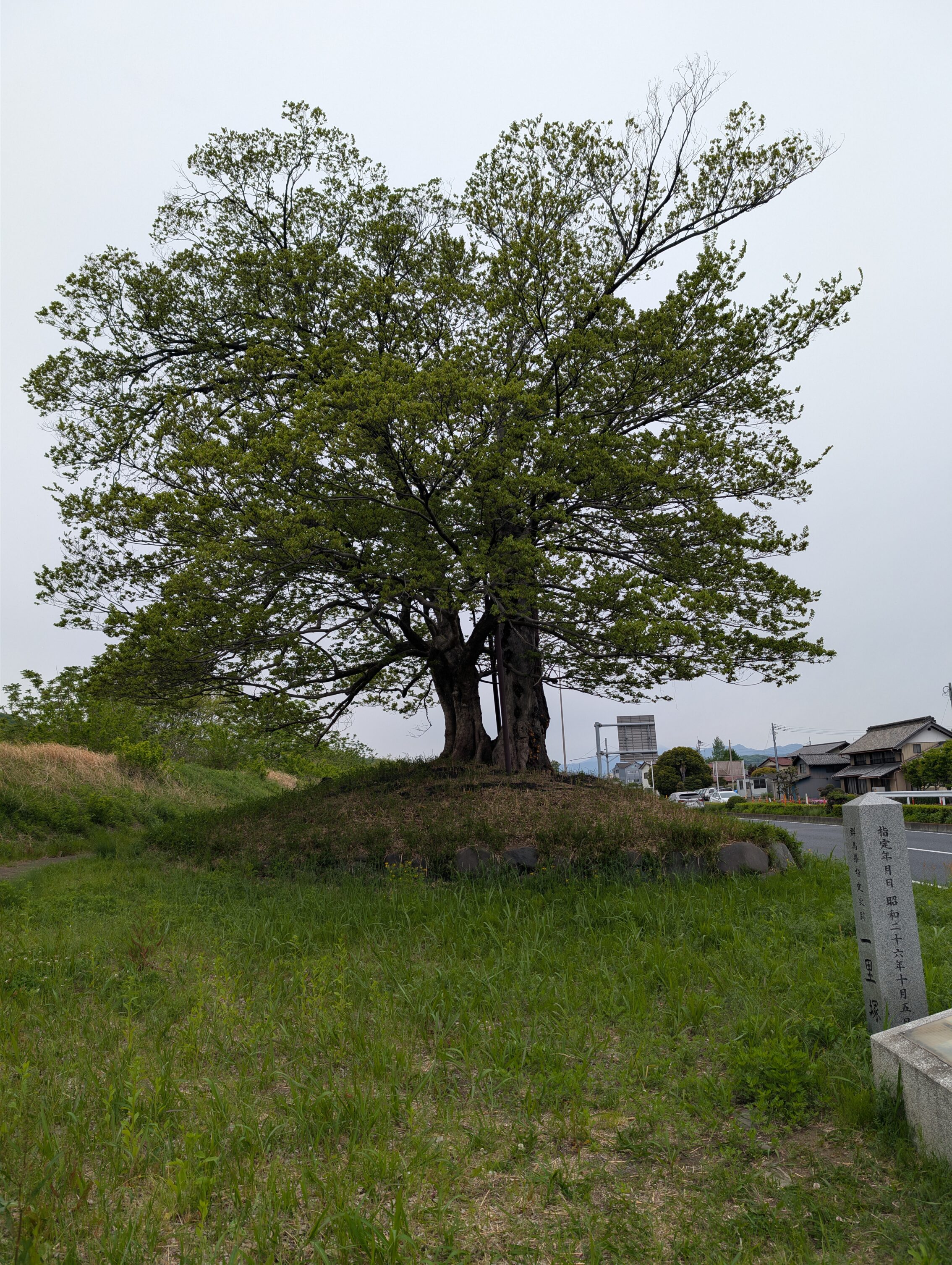
The Fujizuka ichirizuka, seen below is a prefectural designated historic site. Unfortunately it’s a bit worse for wear when it comes to care. The stone markers are sitting amidst growing weeds, and the information board is very sun-bleached and worn. Nevertheless, the milestone itself is deeply impressive! The milestone is also almost impossible to reach if you follow the “official” path. You have to take a detour or just watch it from across the highway.
The Nakajuku ichirizuka is gone, but there is a very modern-looking stone monument in its place. Nakajuku was also an ai-no-shuku, ie an unsanctioned post town where travellers could rest and eat, but not stay the night. The distance between Itahana-shuku and Annaka-shuku is only about five kilometres, but since the path crosses the Usui river twice (!) in short order, an extra place to wait was probably needed.
The Ichiriyama ichirizuka is gone. There used to be an information sign, but it seems to have been removed.
The Gohara ichirizuka is gone.
Total hiked today according to the map: 22.7 km.
Total hiked today according to fitnesss app: 25.9 km.
Tomorrow I will head towards Sakamoto-shuku and then across the Usui pass and Karuizawa. Wish me luck, and few if any bears. Or ticks. Or Japanese Mountain Leeches which I just learned about were a thing… 🙂


Leave a Reply