There isn’t just one highlight to this day’s hiking, but rather a lot! The most obvious one is the part that crosses the Usui pass, but there were a lot of other really cool things to see along the rest of the path.
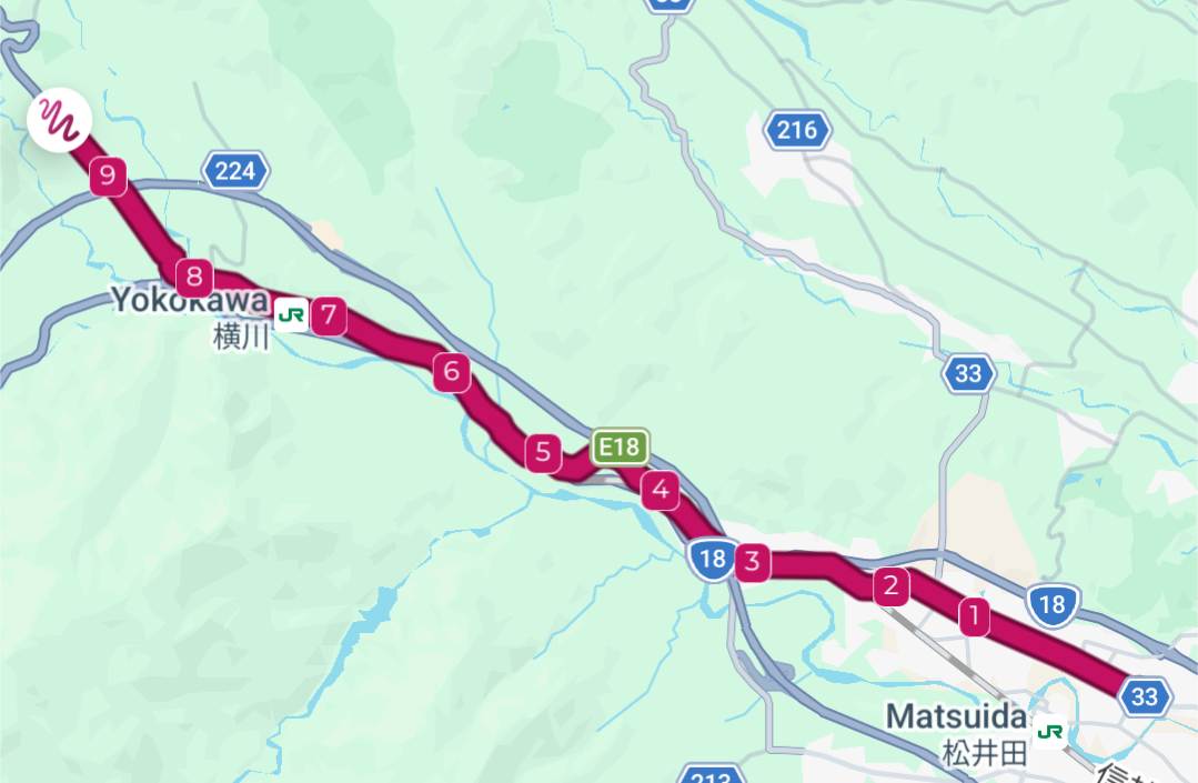
From Matsuida-shuku the road more or less follows both the railway and the National Route 18, but takes a few detours here and there. But the fun mostly starts in present day Yokokawa which is near the next shukuba on the path, Sakamoto-shuku. Yokokawa grew up around an old check point, a sekisho, on the Nakasendō. The sekisho check points were meant to control the people leaving the Tokyo area to make sure that any errant women didn’t try to escape. This was because the Tokugawa clan mandated their various Daimyō, (sort of local feudal lords), to come to Edo at least every other year in order to show fealty. They also basically kidnapped some daughters or wives of these people, forcing them to stay in Edo while the rest of the clan went home. The check points were also there to make sure that no guns were being smuggled into Edo. The Tokugawa clan were isolationists, trying to keep Japan separate from the rest of the world. This didn’t work, of course, and Western made guns had a tendency to appear during the Edo period anyway. The old saying of the work at the sekisho was to prevent “guns in, women out”.
These government sanctioned sekisho weren’t that common along the Nakasendō. There were only two of them all along the complete path: This one near the Usui pass, and another one deep in the Kiso valley. There was another type of check point during the Edo period as well, the so called Kuchidome-Bansho that were set up by local lords for people entering their domain. This practice was in theory outlawed by the Tokugawa clan, but the Daimyō skirted this by establishing “guard stations” to find people evading taxes etc.
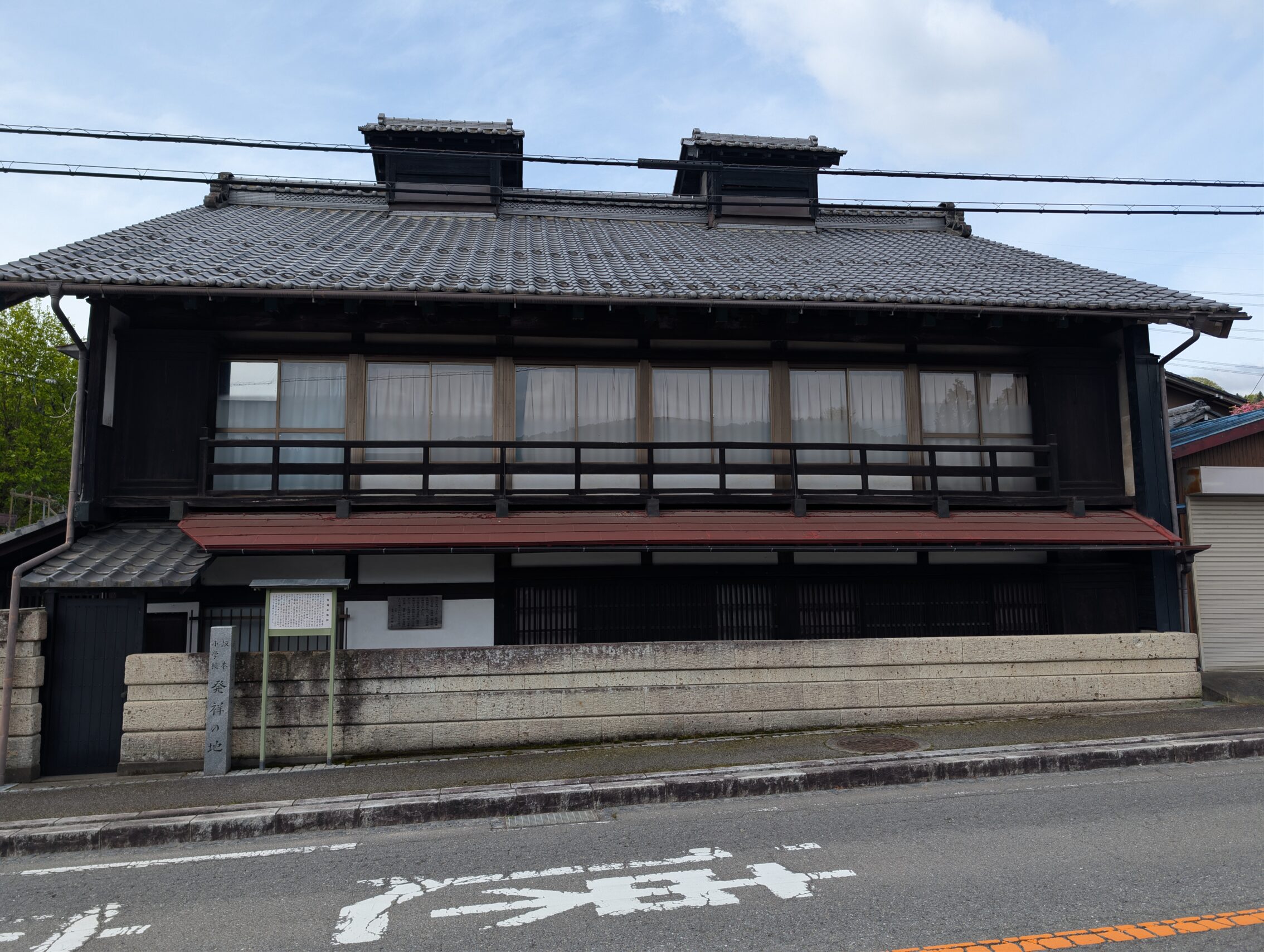
Sakamoto-shuku was established at the bottom of the Usui pass, and it still has a number of Edo period houses that are in use.
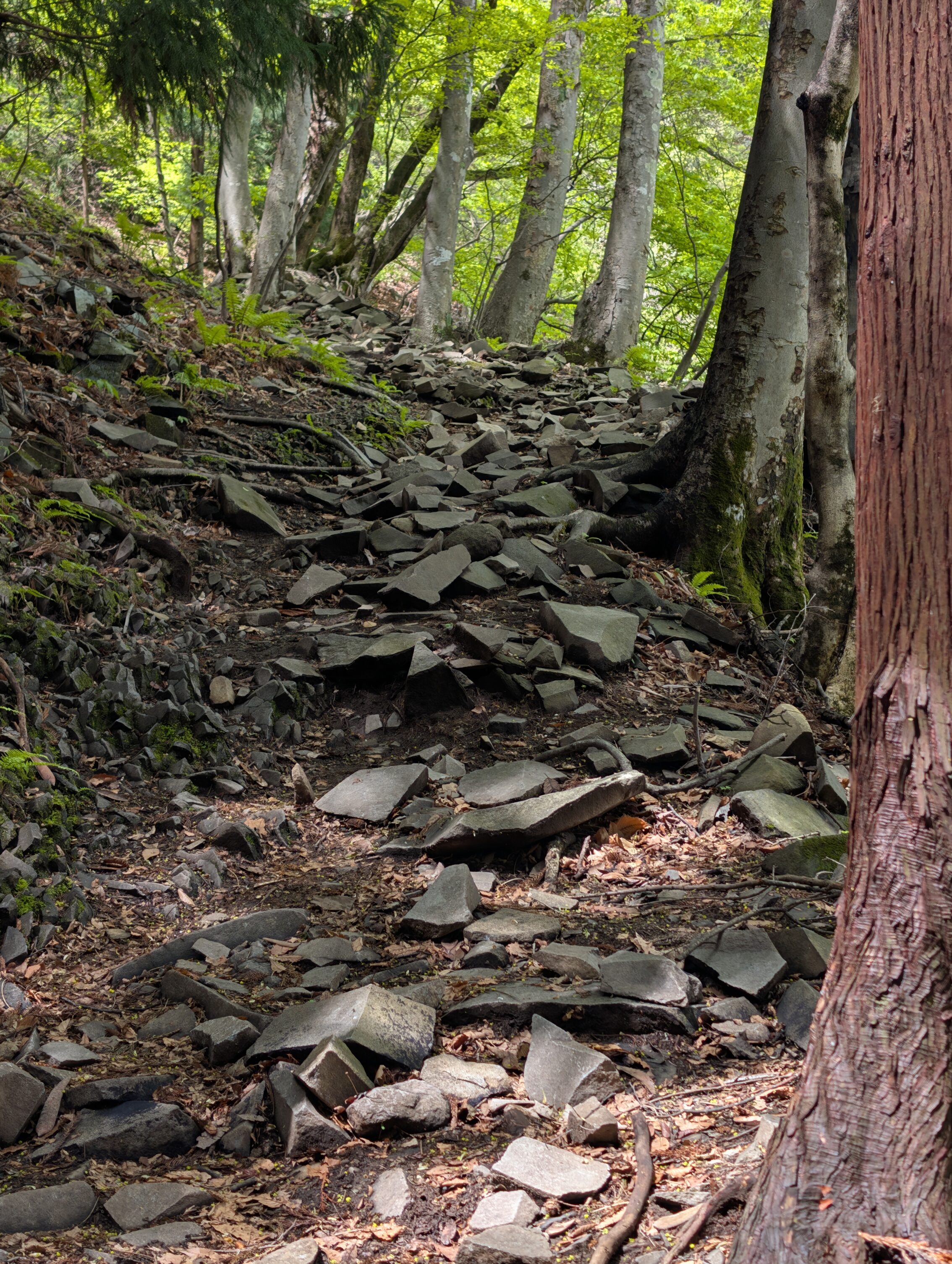
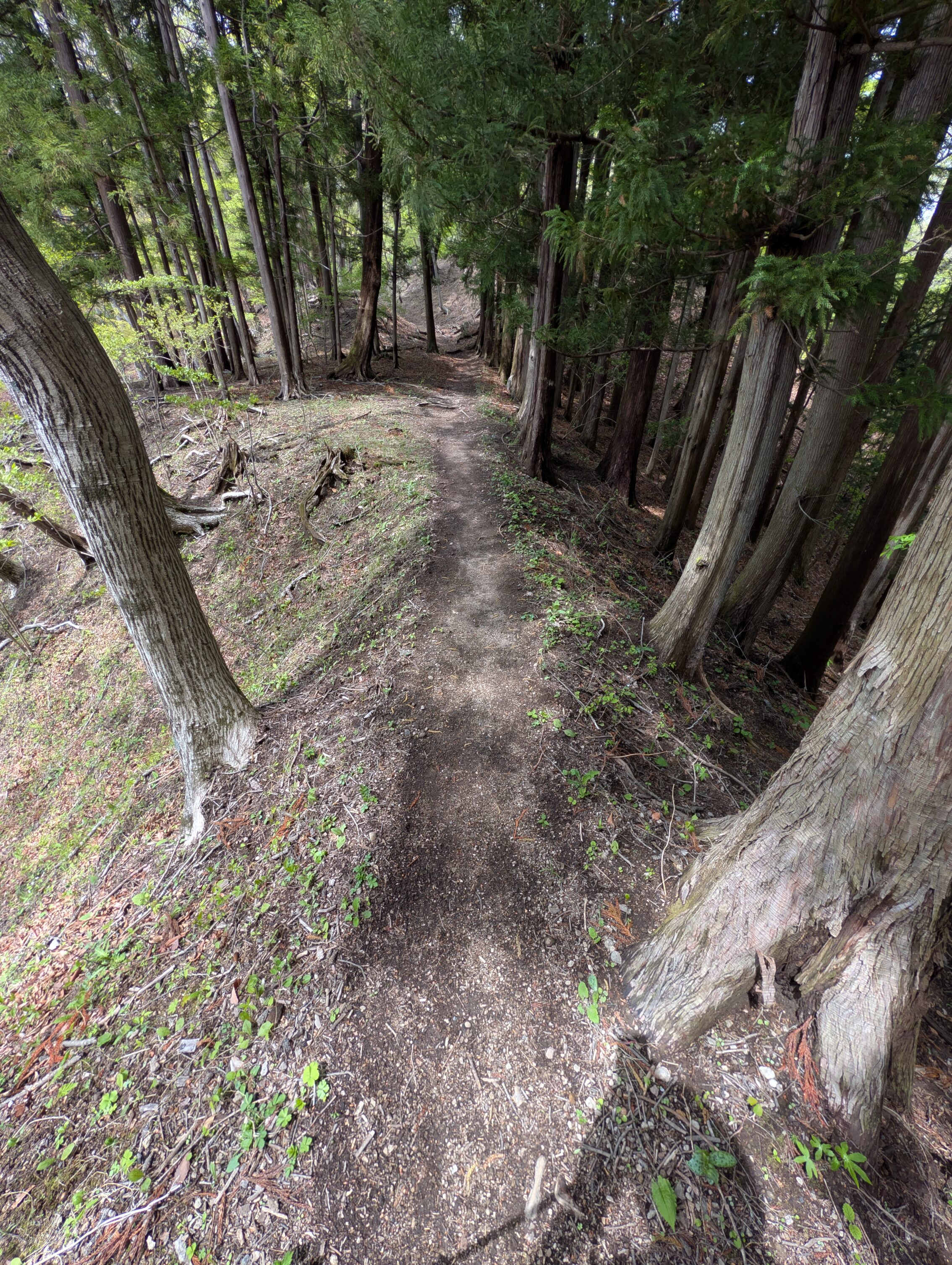
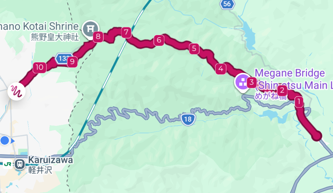
The path started to go much more uphill even before entering Sakamoto-shuku, but after the post town, the trail heads straight up into the mountains. The first 1.5 kilometres from outside the village climbs about 250 metres up the hill. This was a brutal gradient to hike, and it didn’t end there. The next six kilometres climbs another 500 metres for a total of almost 750 metres before you reach the top at about 1 200 metres above the sea level.
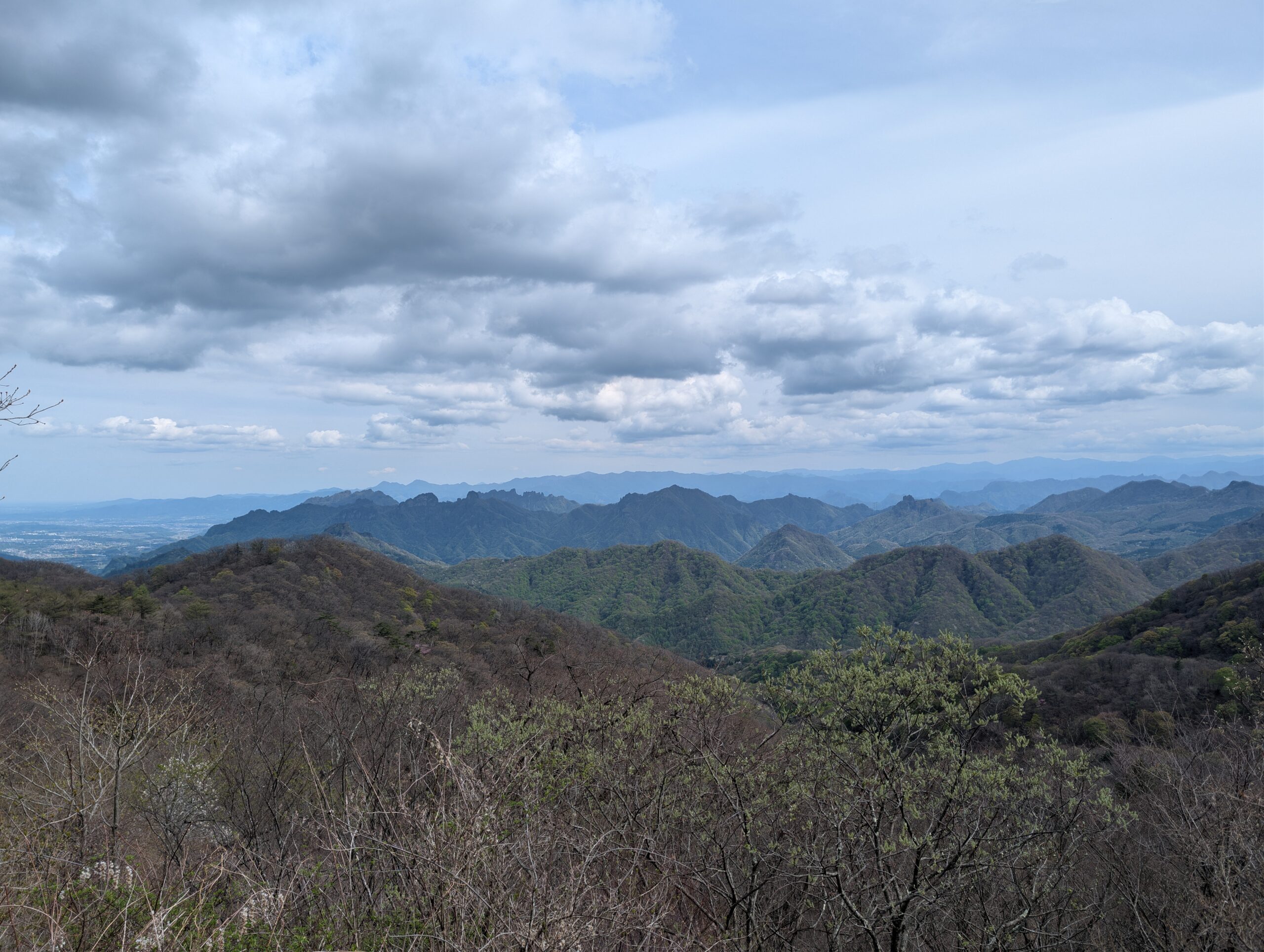
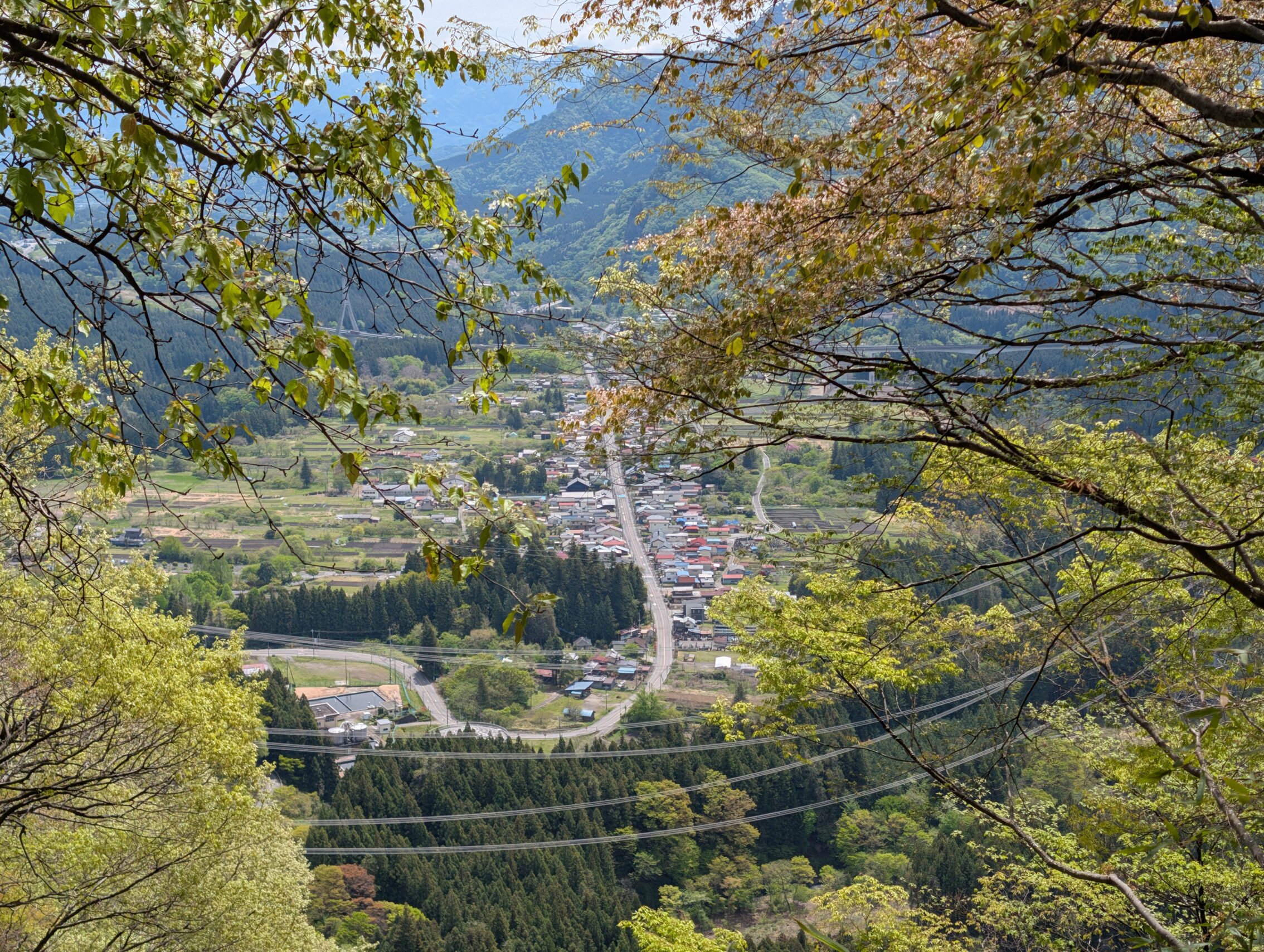
You can see Sakamoto-shuku in this famous viewing spot a couple of kilometres along up the mountain. This is a very good illustration of what the post towns usually looked like: a straight line with a row of houses on each side. There are a couple of variations of this where the post town has one or more “illogical” 90 degree turns along the path through the town. These “masugata” served a very specific purpose: to make it easier to defend the town from an attack.
It’s very difficult to photograph how steep this actually is on both sides, but the slopes are both more than 45 degrees away from the path just ahead of where I am standing.
Along the way before the top, the path also reaches the northernmost point of the whole Nakasendō. This coincides with crossing a small stream that burbles down a steep gully.
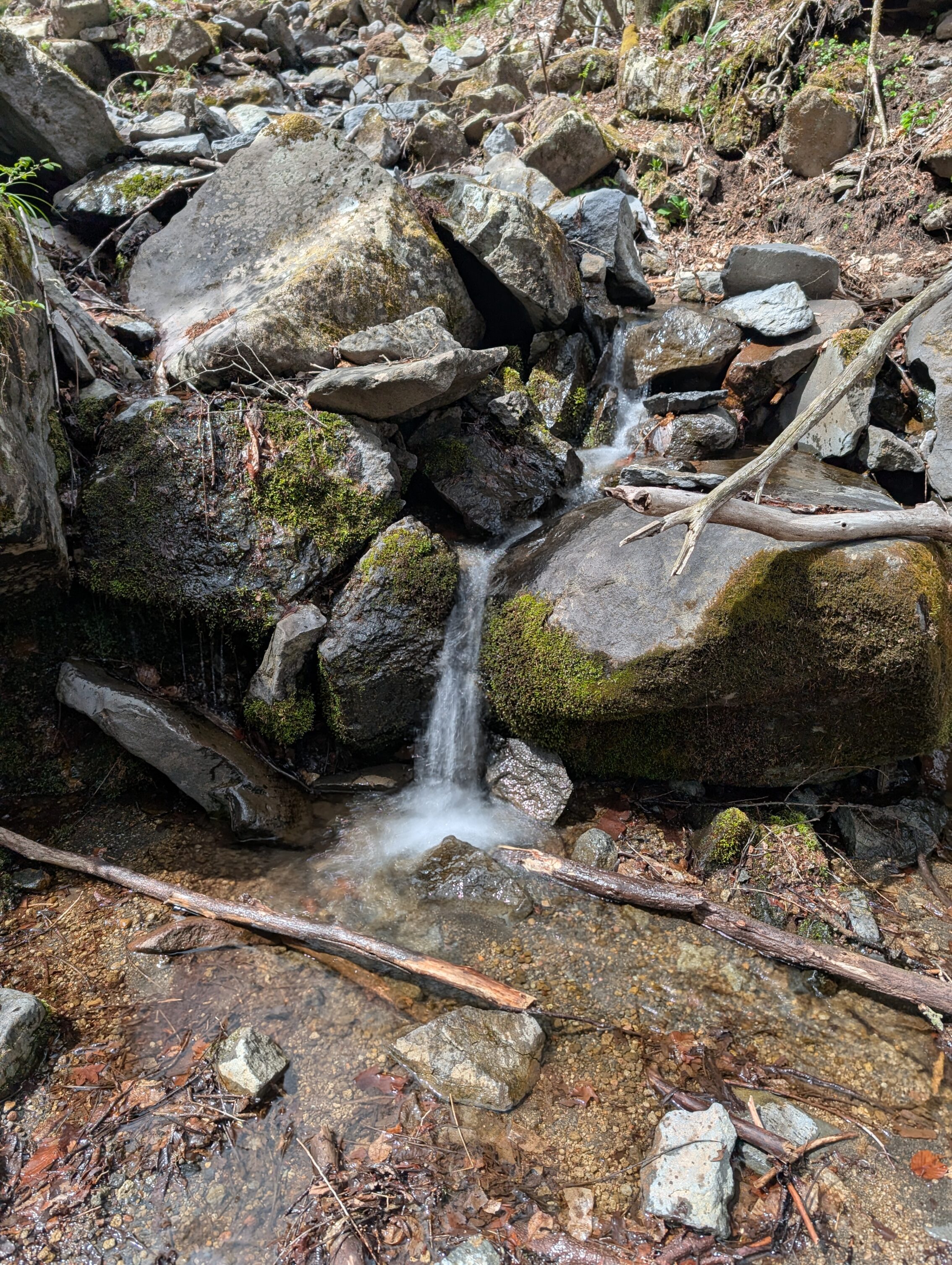
This small stream is actually none other than the Usui river! Every river has to start somewhere.
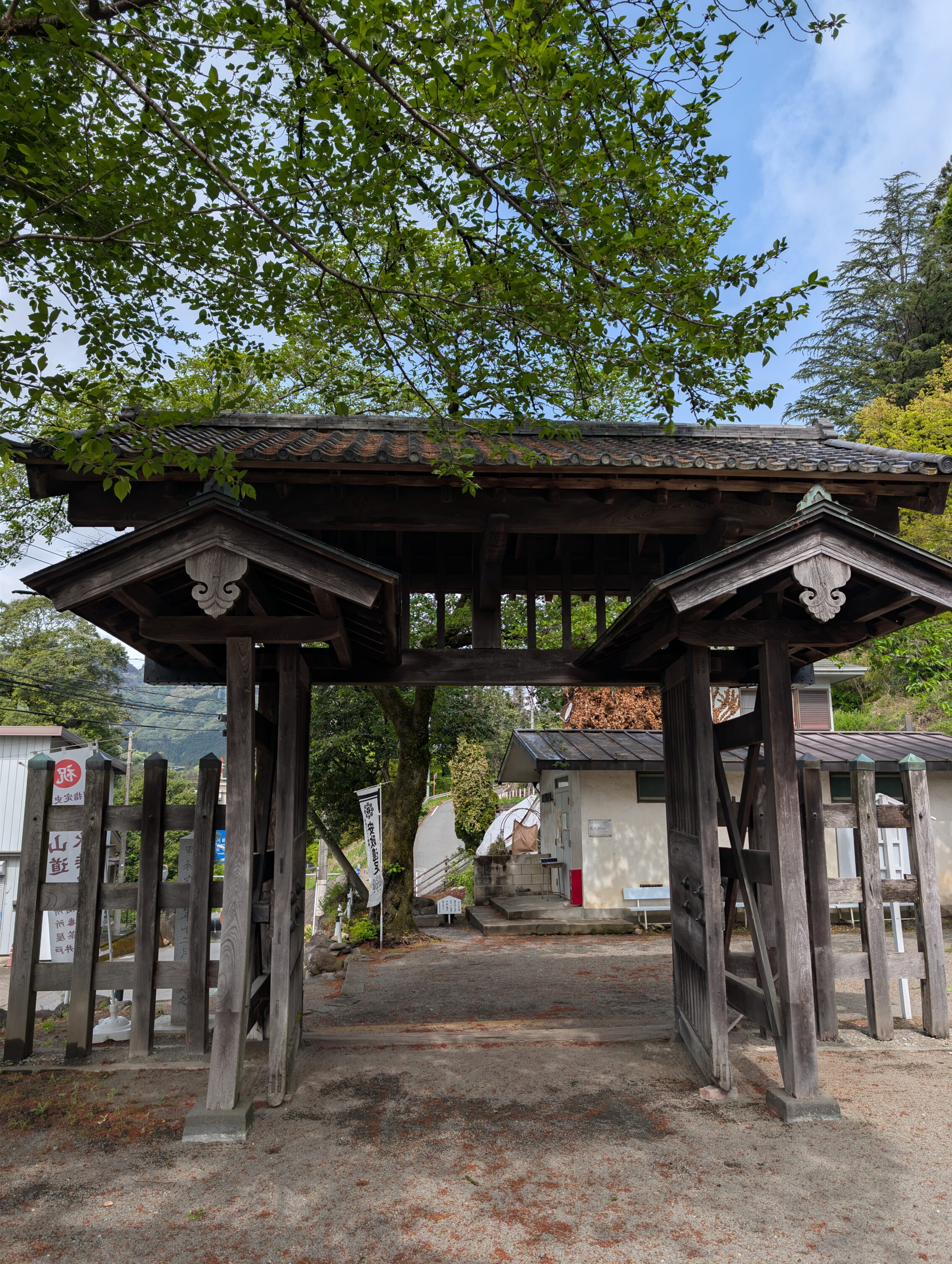
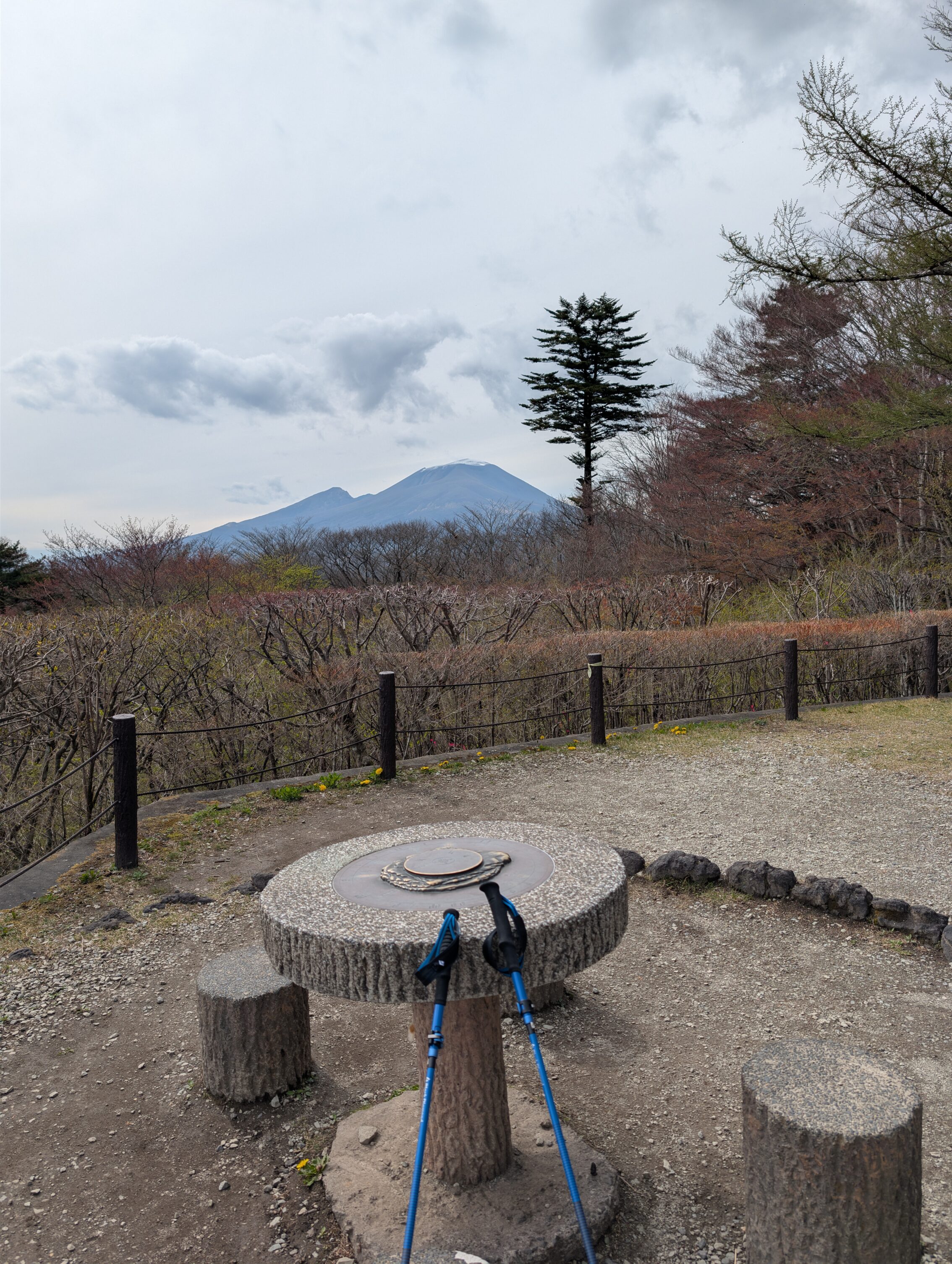
The top of the pass has several temples, and a viewing platform of the surrounding landscape. The featured picture is a view to the south, showing among others Mount Myogi to the left, famous for its jagged peaks. The scenery towards the west is dominated by Mount Asama, the most active volcano on Honshū, the largest of the four main Japanese islands. I will hike in the shadow of this volcano for the next couple of days before I reach the Wada pass.
The paths I followed today looked like this.
Ichirizuka passed today:
Shinbori ichirizuka
Yokokawa ichirizuka
Hanishi ichirizuka
Yamanaka ichirizuka
Karuizawa ichirizuka
What’s common to all of these is that there is nothing left of them, and they have no signs, apart from the Shinbori milestone.
Total hiked today according to the map: 20.1 km.
Total hiked today according to fitness app: 21.3 km.
Elevation gain, absolute from bottom to top: 1 025 m.
Elevation gain, total: 1 305 m.


Leave a Reply