The seventh leg continues in the tradition of yesterday, that is, it runs mostly along the National Route 164 with all that entails with little to no respite from the everpresent traffic. The eighth leg, from Kōnosu to Kumagaya, however starts off in the same vein, but after only about a kilometre, it turns off the highway, and keeps going on a smaller road. While this road isn’t exactly car-free, it offers a very different environment from the previous 20 kilometres or so. The later stage of the second leg runs along the Arakawa river bank, which is a pretty pleasant experience.
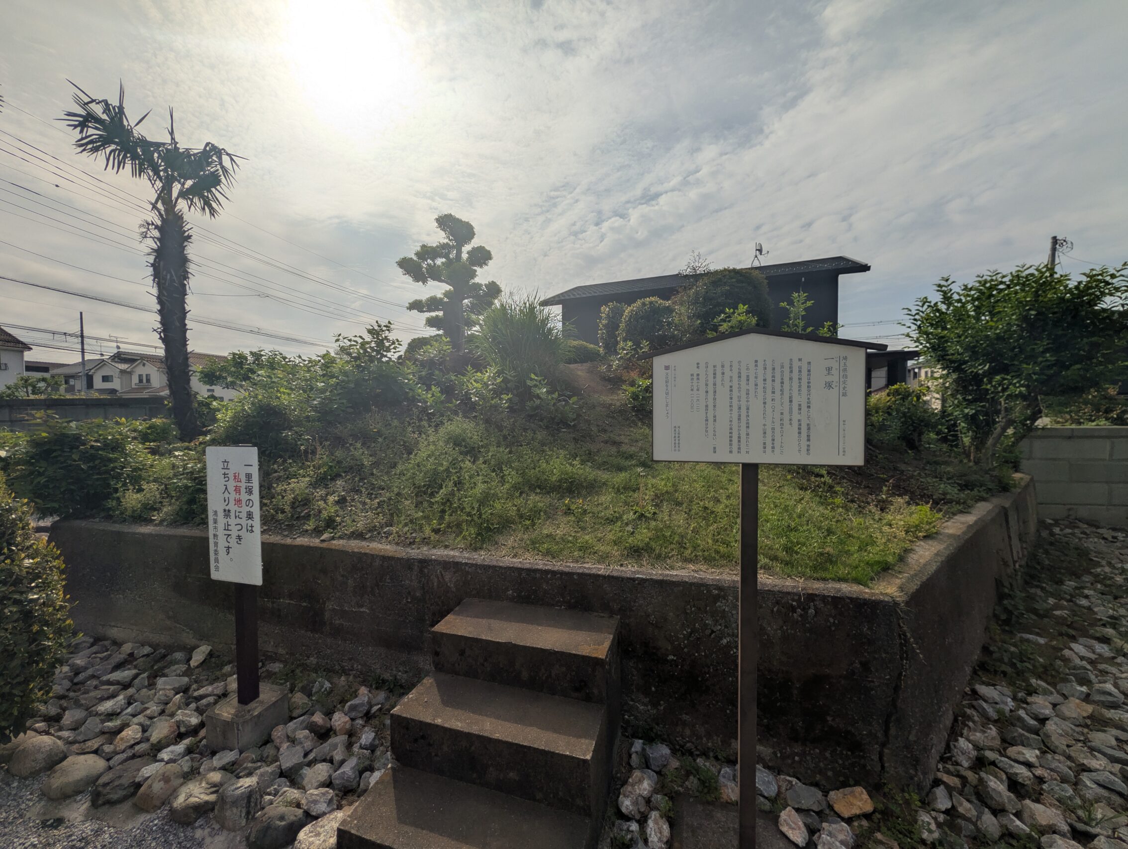
During the first leg of the day, I passed the Hara Umuro ichirizuka. It lies in a bit of an awkward spot as it is on the other side of the railway from the rest of the old Nakasendō path. This is because of two reasons. First, the building of the railway cared nothing for where the Nakasendō was. The new railroad tracks skewered the path countless of times, (which we’ll see later on during the hike as well). Second, the path actually changed a bit during the Edo period and moved somewhat to the east, and this milestone was left in the dust even in the olden days! However, one of the mounds still remain of this twice-abandoned ichirizuka, and this is pretty spectacular considering how many others in the near vicinity have been utterly demolished.
The Kōnosu-shukuba itself has a couple of modern stone markers, and a large information board, but very little remaining from the Edo period.
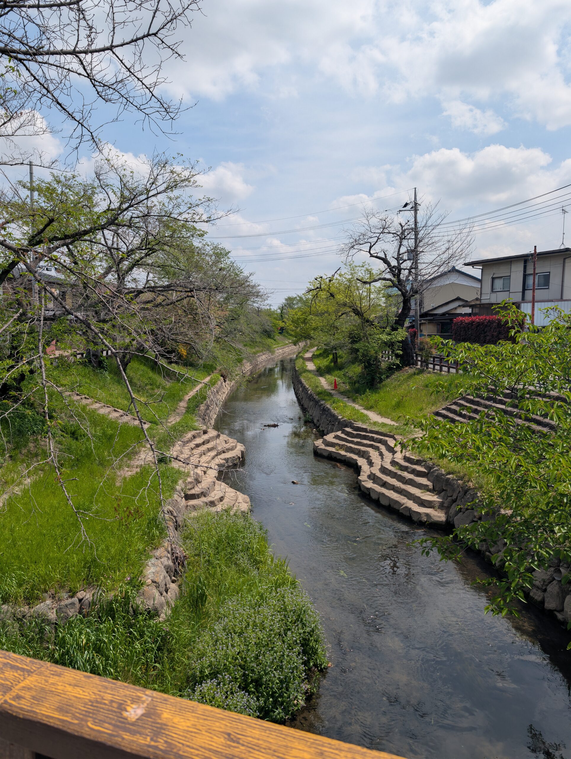
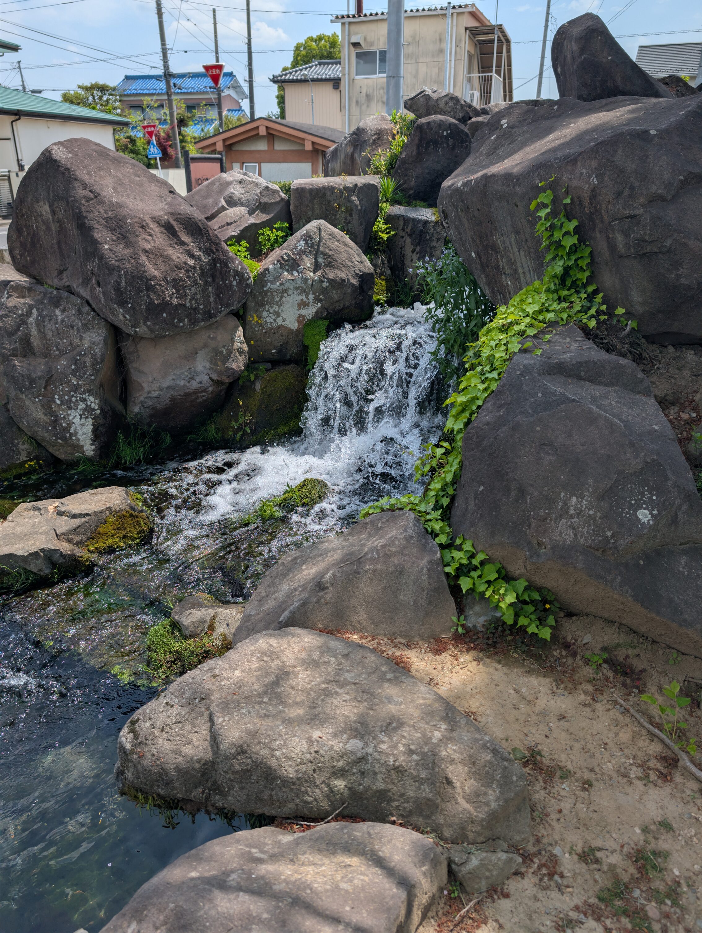
The second leg of today’s hiking is an impressive 16 kilometres long, and you get to cross a couple of rivers for the first time in forever. This doesn’t mean that there are no waterways south of this leg, far from it. All the water in these other places has been channeled into underground tunnels, and a mass of covered ditches. The Kantō plain is an old alluvial flood plain. This means that it is used to take on a lot of water. A lot! This hasn’t changed just because people have started living here. Most of those canals and small streams are hidden though by modern engineering.
The Motoara river mentioned in the picture above is also famous for being one of the 500 best places for seeing cherry blossoms in Japan. Yay! The Japanese really love ranking stuff like this. “One of the five best original castles.” “In the top 10 of all waterfalls in the country”. And so on. The Nakasendō passes really close to the part of the Motoara where these cherry blossoms can be seen, but as is obvious from the featured photo at the top of this post, I am hiking a bit late for that.
The second leg passes four different ichirizuka, called Minada (at about 1.3 km in), Maesuna (5.5 km), Kuge (10.4 km), and Hachicho (14.7 km). None of them have anything remaining of the original mounds, but they have information signs and so on. Well, except for Minada, which seems to have been completely lost to history.
Kumagaya-shuku was one of the five largest shukuba along the Nakasendō, but doesn’t show it at all. There is a small marker and an information board, but there are no houses remaning. Chances are that the town suffered from fires, as most of the post towns did at various points during history.
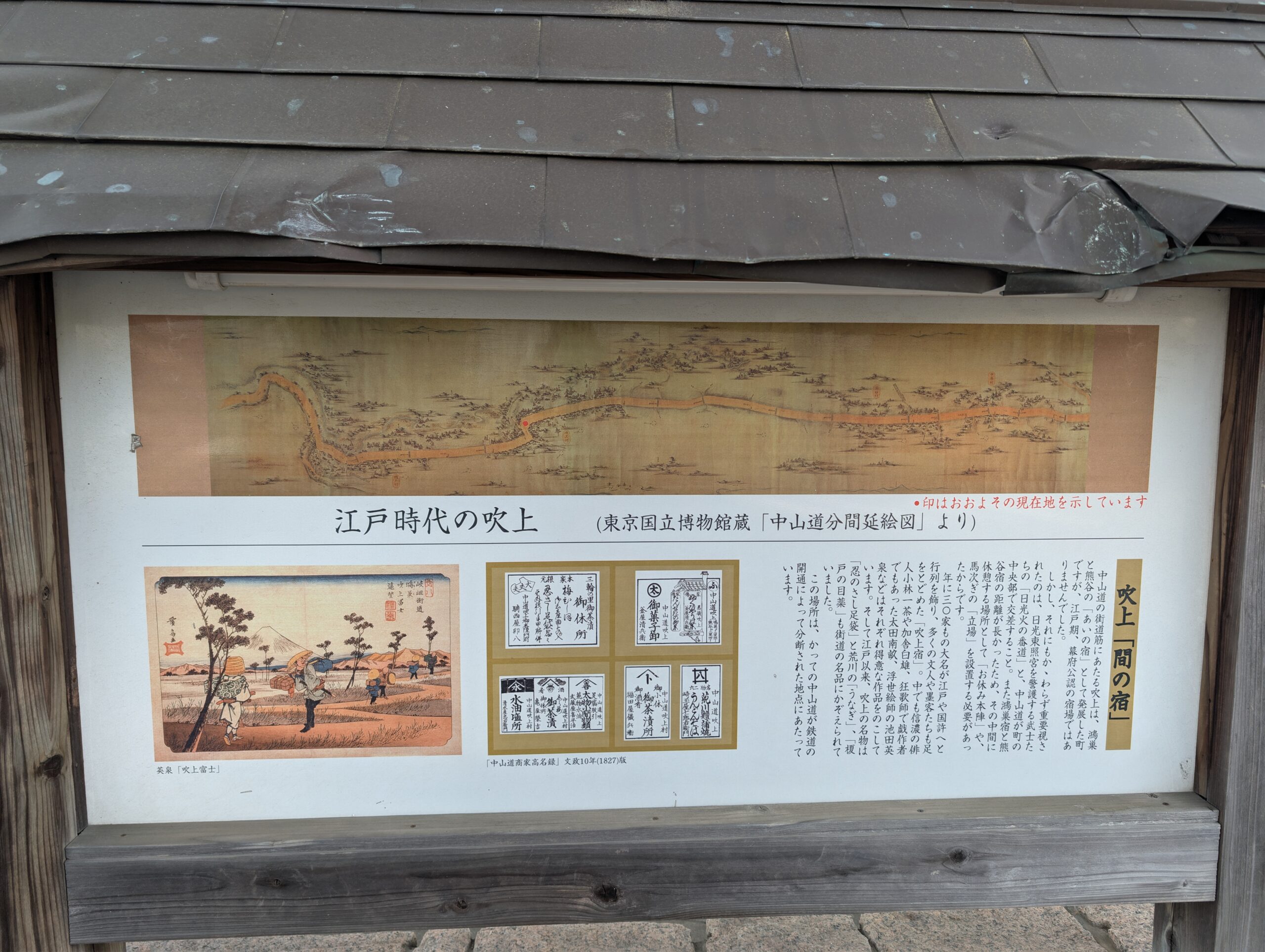
One more thing of interest. The different post towns were the official places where travellers were allowed to rest and recuperate. In some cases along the way, villages sprung up between the official ones where you could find places to eat, and to rest during the day, but not stay the night. These so called ai-no-shuku weren’t sanctioned but did provide services that where worthwhile and were needed. The distance between Kōnosu and Kumagaya was so long that a place called Fukiage-shuku served as an intermediary between them.
Total distance hiked today according to the map: 21.2 km
Total distance hiked today according to my fitness app: 24.0 km. I am still pretty sore, but I’m sure tomorrow will be a breeze!


Leave a Reply