I’ve been inundated with questions (well, one person has asked) about what tech I have brought with me, and what digital services I use.
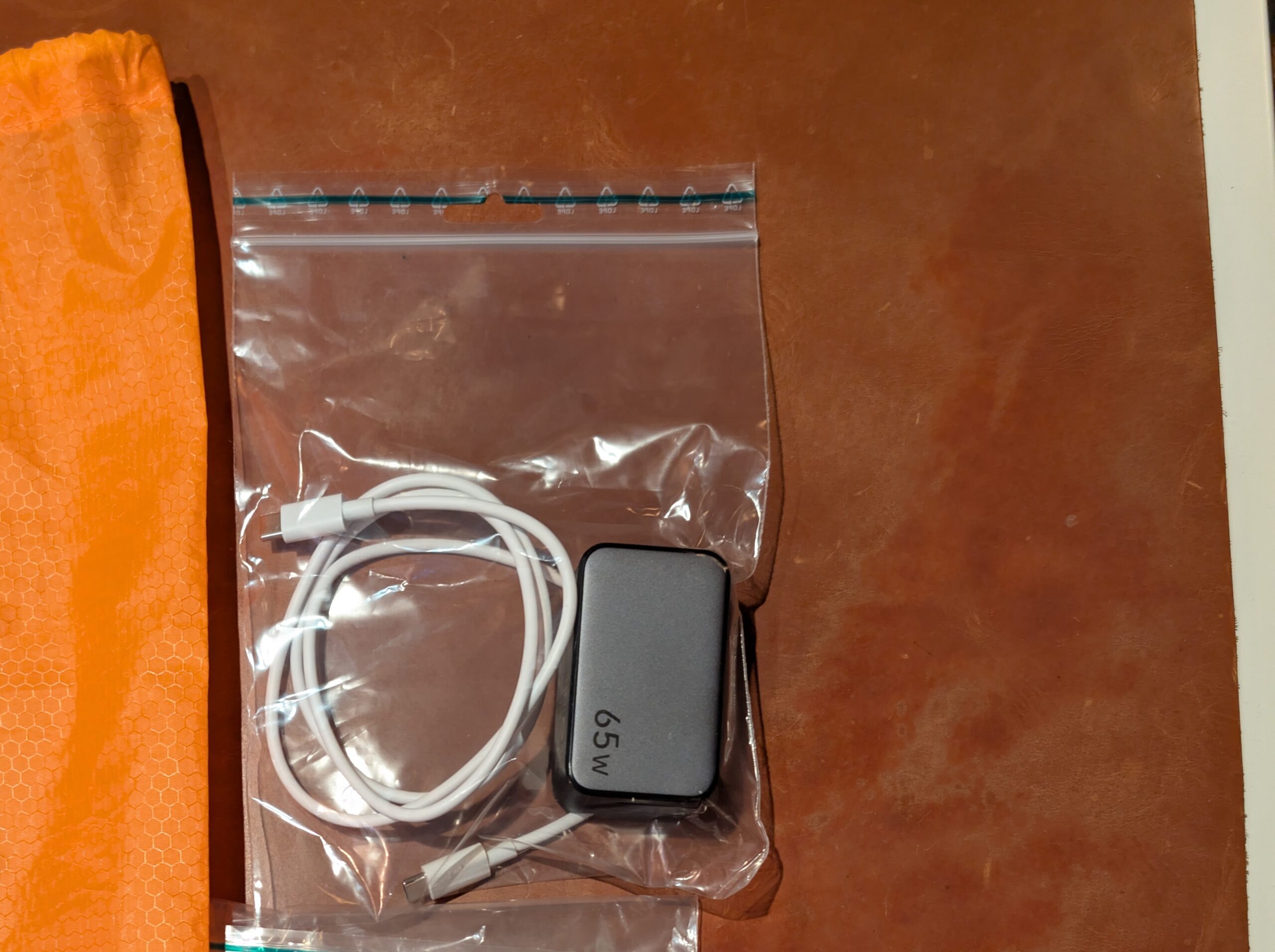
First of all, I have a phone and a laptop. These two items help me with 90% of all things I need to accomplish digitally. No surprises there. Second, they obviously need charging, and for that I have a 65W charger with a Japanese plug that has two USB-C connections. It has enough juice to charge my laptop and my phone at the same time. The charger I use is from UGREEN. This isn’t a plug for that company, and with my luck it will probably turn out that they use freshly squeezed Mountain Gorillas to lube their production lines…
But anyway, I have also brought a set of noise-cancelling headphones, mostly to use during the flights to and from Tokyo, but also if I need to screen off the world for a few minutes while resting. In addition to that I have a bluetooth mouse with me, because I utterly hate using a mouse pad.
Among the smaller stuff, I have brought two USB-C to USB-C cables of good quality, and a tiny, tiny USB-C to USB-A adapter. It weighs less than 2 grams! 🙂 I also have a small power bank that holds enough charge for charging my phone twice. The power bank, along with everything else uses USB-C cables. Thank you for that, EU!!! The reason I’ve brought the adapter is because I need it to charge stuff during the flight,s and SAS, the company I fly with, still has USB-A connectors everywhere.
When it comes to services, there are lot of things that I use.
For mapping, I use mymaps.google.com to create KML-files of for instance all ichirizuka, and all shukuba, and so on.
To convert those files from KML to a format usable anywhere else outside of the Google sphere, I use kml2gpx.com.
I have used gpx.studio to create GPX-files of all the stages I am hiking. It is also my goto-app for displaying the converted KML-files from mymaps while out hiking.
In addition to gpx.studio I also use the app Just Draw It, to display the current leg I am on. It has a much better update rate than the websites mentioned above when I need to know my current position right NOW.
My phone company doesn’t have any kind of collaboration with any Japanese telephony services, so in order to not having to pay a gazillion just to get the maps working while out hiking, I have a bought an eSIM while in Japan. The one I use has unlimited data for 33 days, and so far it has worked really well, I don’t have 5G reception everywhere, but it’s good enough for my uses. The service I bought the eSIM from is called HOLAFLY.
This site has been made using WordPress, and while I don’t love it, it is easy enough.
I think that about covers it. Oh, wait, I am actually writing a book, not about my experiences along the road, that’s what this blog is for, but rather a guidebook for hiking the Nakasendō. And when writing that book I use ellipsus.com. While I use Google for a lot of things, I have tired of a lot of the crap they do, and ellipsus is plainly just better for me when writing. It doesn’t have off-line capabilities, but apart from that I don’t miss ditching Google Docs for it.


Leave a Reply