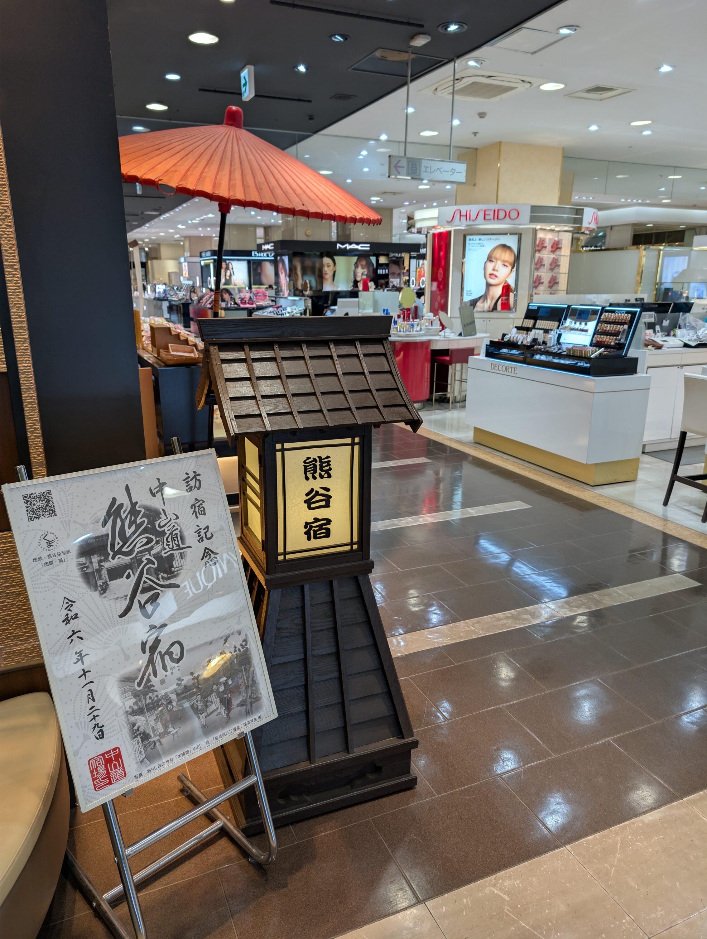
At the very beginning of the first leg, as you head out from Kumagaya-shuku you will find the famous part where the old Nakasendō passes right through a modern department store. It was closed in the morning as I started the hike, but luckily I had made sure to walk through the store last night!
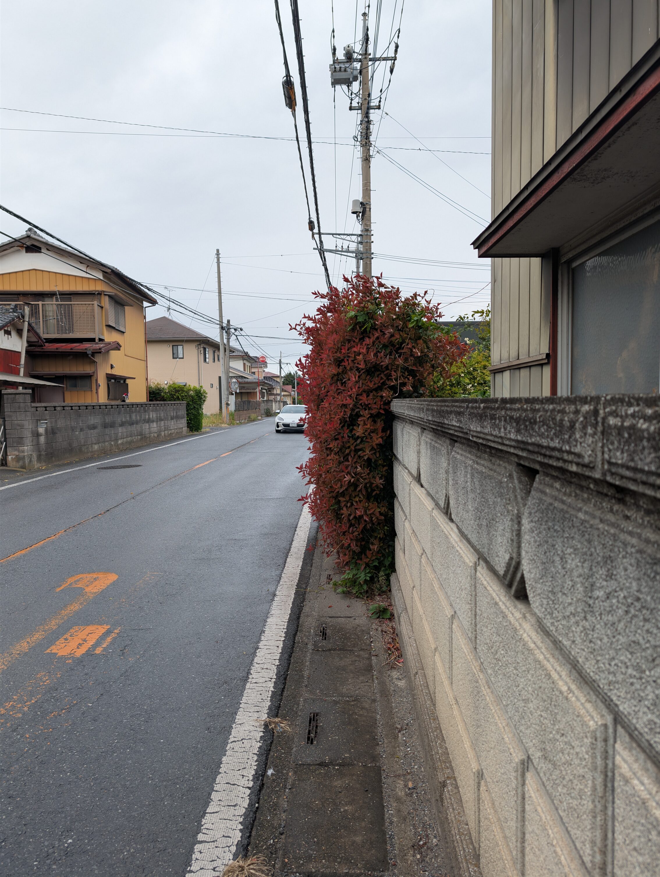
After that it was pretty nice for a short while, following a small and winding road amidst houses and gardens. Then came the National Route 17 which the old Nakasendō followed for about 3 kilometres. It isn’t much fun hiking next to a heavily trafficked road in the rain, even if it was just a drizzle. After leaving the NR 17 I had hoped that things would look up, but unfortunately that didn’t turn out to be the case even though the rain abated after a while. The Nakasendō follows smaller roads for the rest of the way to the next shukuba, but these roads were continously filled with a lot of traffic, with the added bonus of mostly having no pavements on either side. This meant that I had to watch out for the traffic at all times to make sure that the drivers were aware of you. It was kind of exhausting.
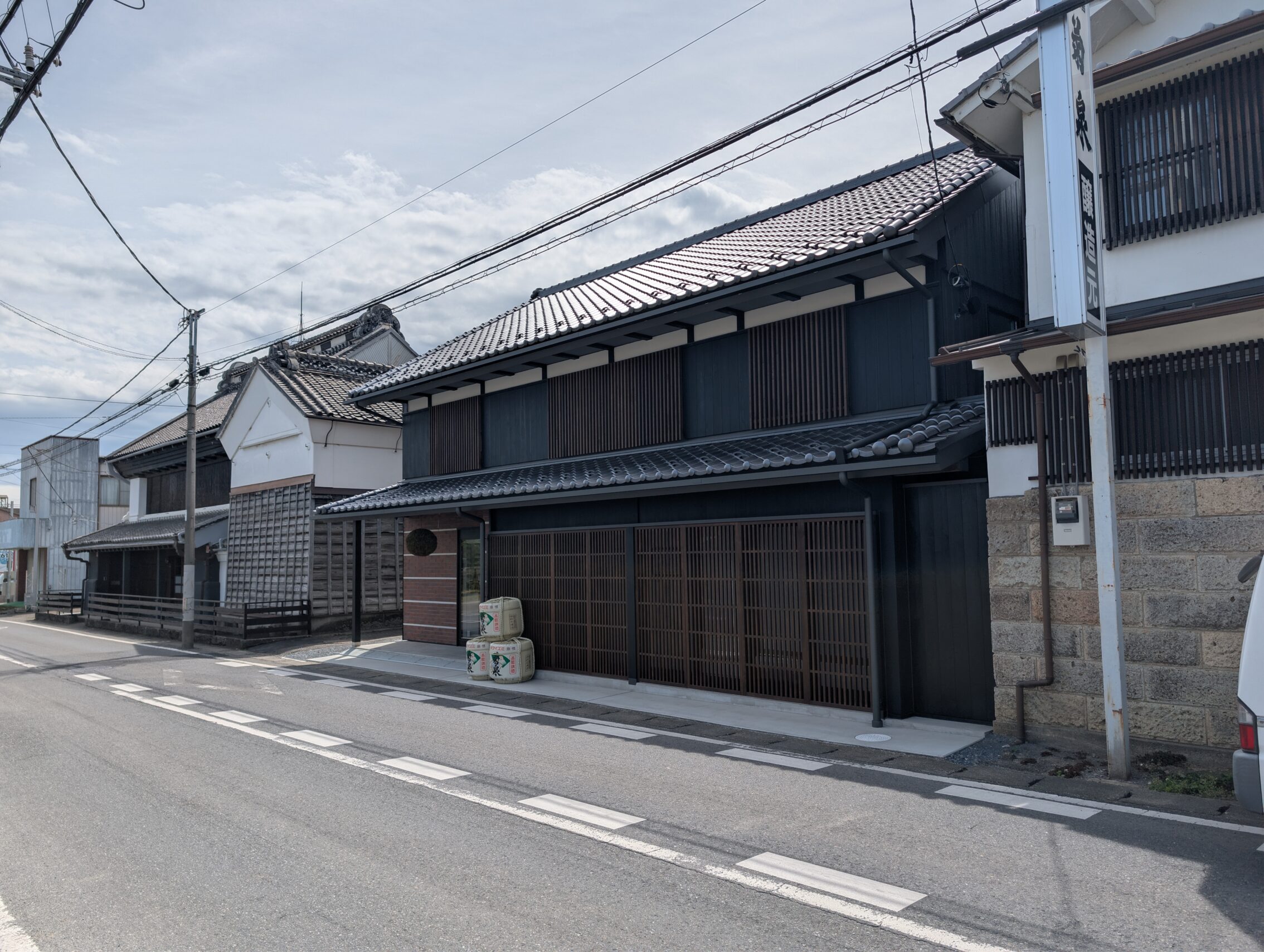
Fukaya-shuku is a small and truthfully rather run-down town. It is filled with boarded-over shops, a number of abandoned houses, and the few houses that remain from the Edo or Meiji era are often in a very bad shape, in the vein of “this can’t be fixed and needs to be completely levelled”. There were a couple of old buildings here that were in great shape, though, especially the Takizawa sake brewery, which was founded just at the end of the Edo period in 1863.
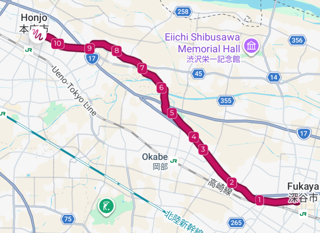
The next stage from Fukaya to Honjō has two very distinct sections. The first out from Fukaya was very similar to what had come before. Smaller roads with a lot of cars, and next to nothing in the form of pavements followed by yet another longer stint along the NR 17. However, this dreariness all changes when approaching the Koyama river. The surroundings change from lots of traffic, houses and gardens, abandoned houses, and no pavements, to an area with a distinct rural feeling with open fields and almost no traffic in comparison. Nice! The Nakasendō also meanders along the river, and the smaller Motokoyama which is a tributary to the Koyama, for a couple of kilometres. Extra nice!
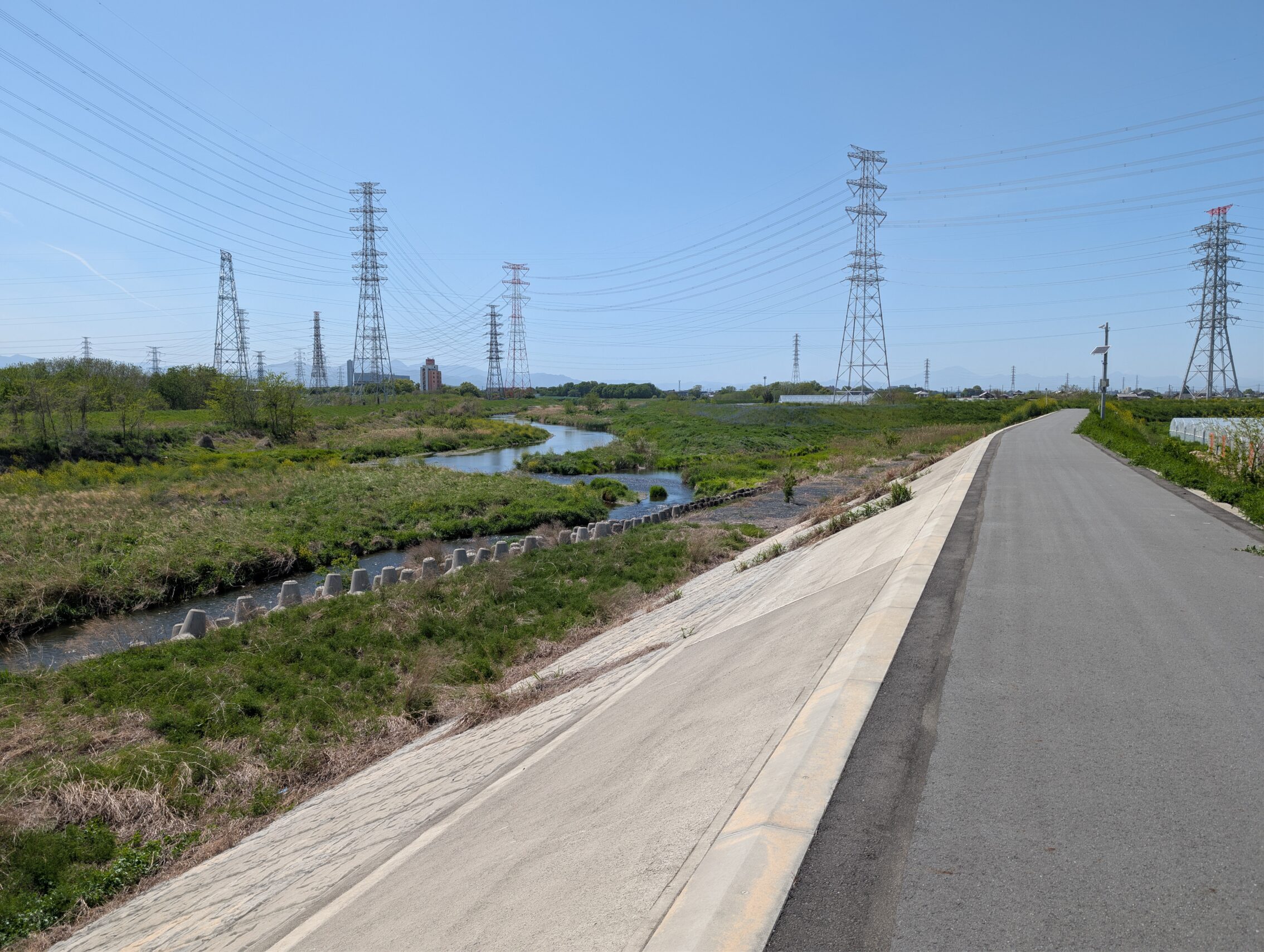
This river, the Motokoyama, might seem small and unthreatening, but there is a very good historical, and geological reason for all these huge embankments. The whole of the Kantō plain floods badly when the conditions are wrong.
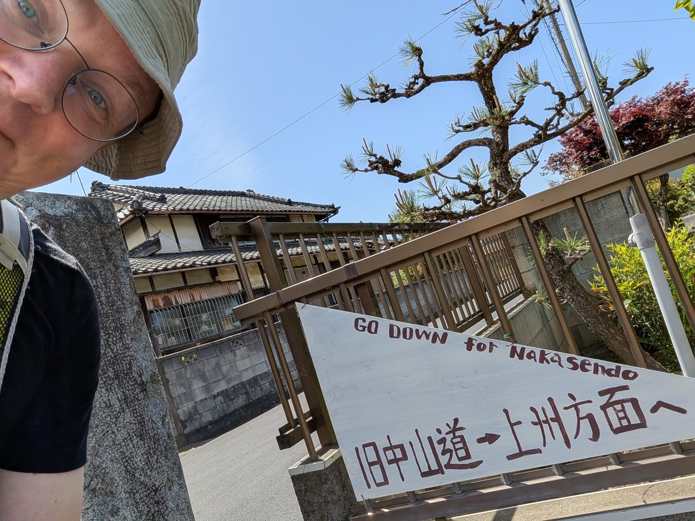
Just before coming to the rural parts of this leg was a lovely handmade sign telling hikers of the Nakasendō to turn right down the road. I haven’t seen a single other hiker doing the same thing that I am, but obviously there are enough people who miss this turn for the sign to be relevant.
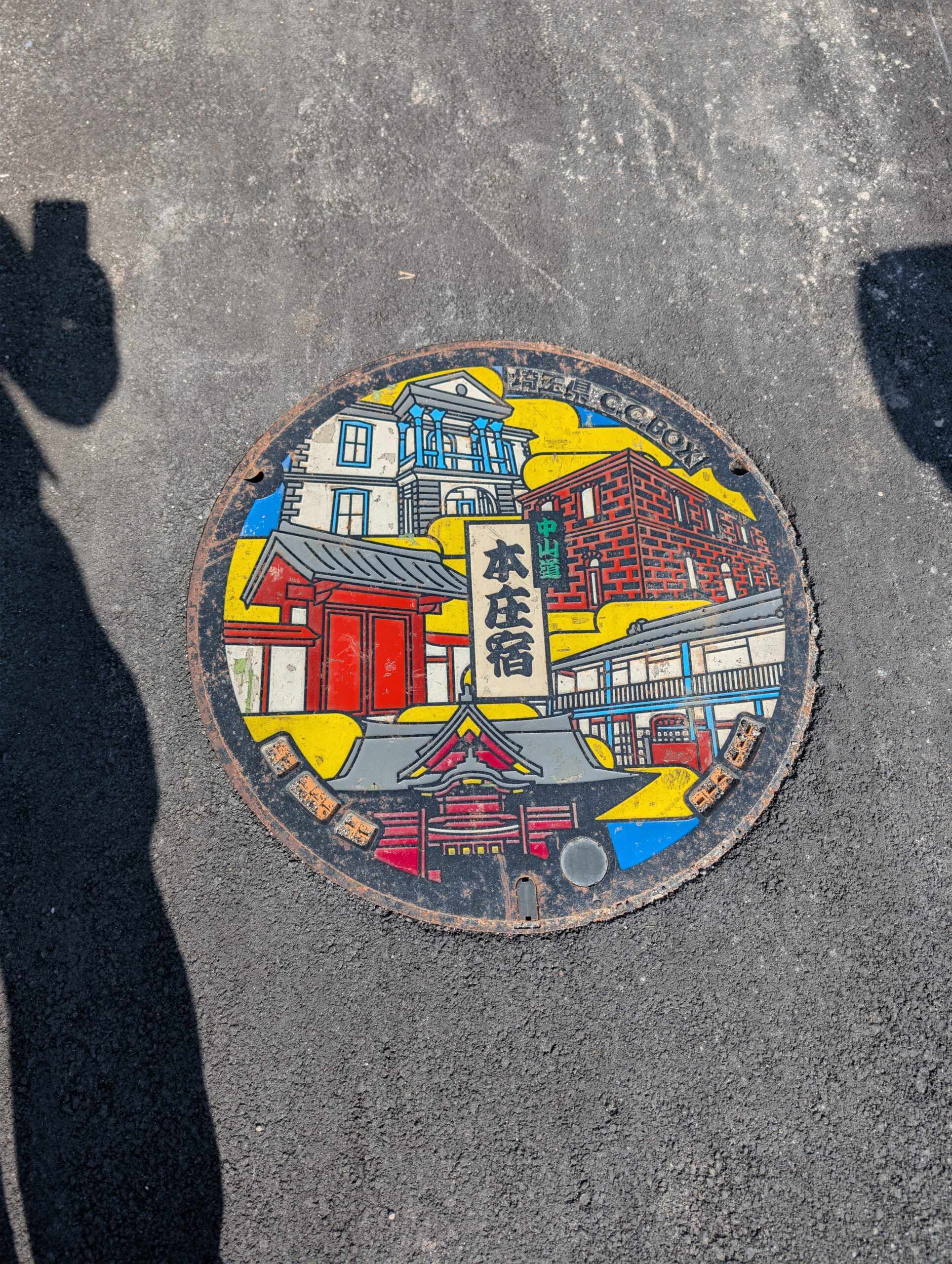
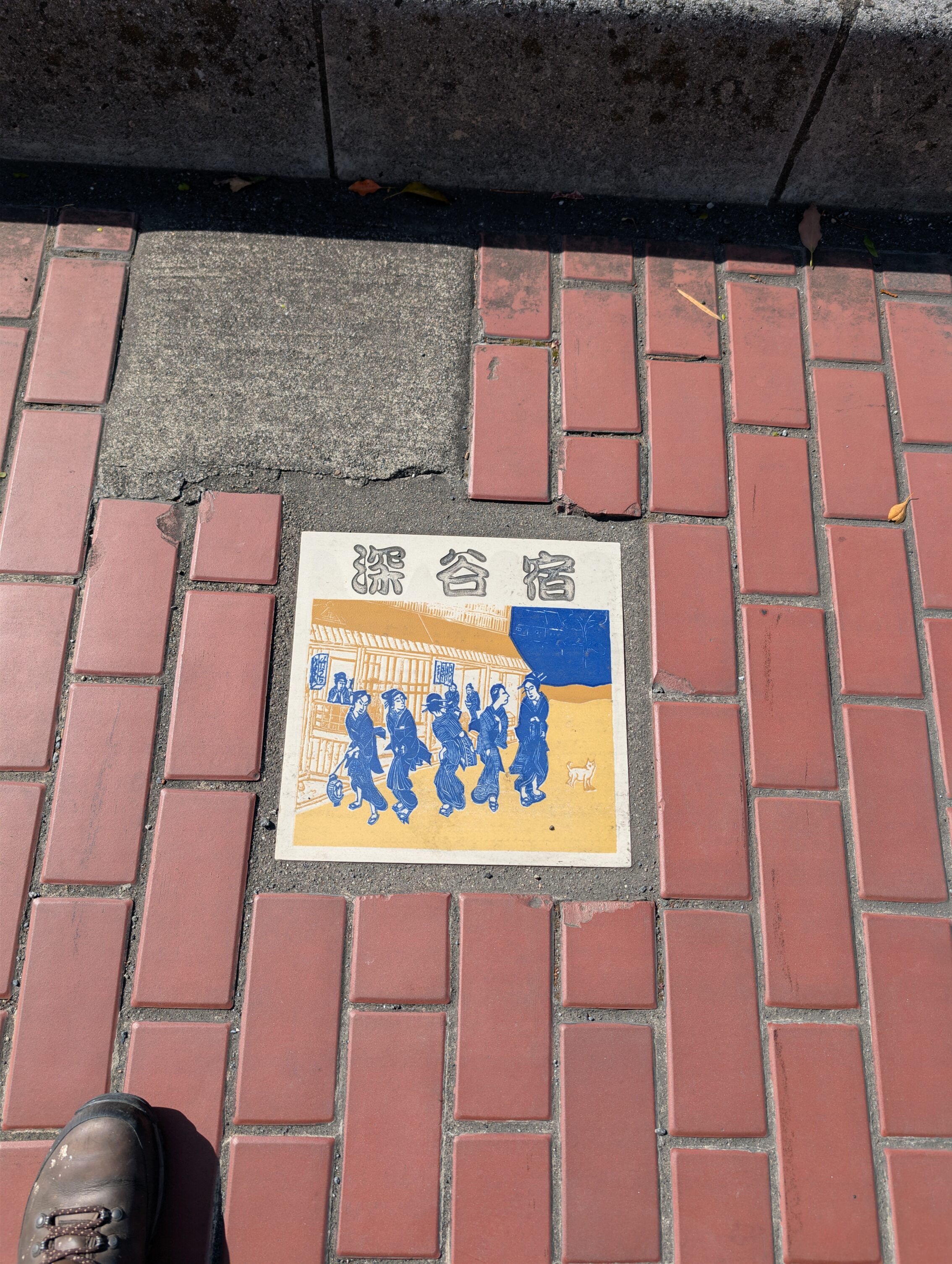
When coming into Honjō the rural feeling disappears and makes room for more suburbs. This is for the last 3-4 kilometres or so of the leg. Honjō itself has very little left from the Edo period, but it does sport a nice reminder of the Nakasendō in the form of a paved list of all the shukuba. It is a bit like in Warabi-shuku, but only the post towns in the Saitama prefecture get pictures. The rest are marked with their names only, but it is still a really cool thing to have done!
Milestones passed during the day:
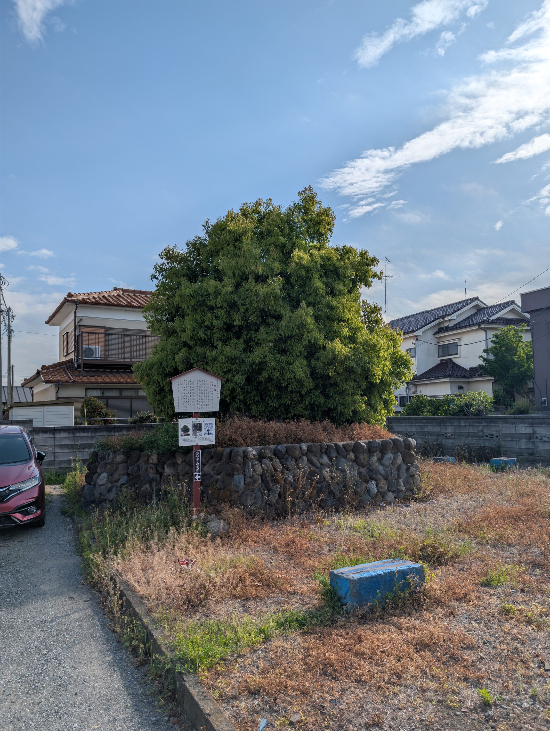
The Niijima ichirizuka still has one of the mounds intact on the east side of the road. The large old zelkova tree that grew on the mound was unfortunately damaged by a couple of heavy storms, first in 2010, and then again in 2018. The damage caused the tree to wither and start dying, and it had to be cut down by the local authorities.
Higashigata ichirizuka. There is what looks like the remains of a milestone mound on the west side of the road with a tree growing on it, but it’s difficult to tell if this is the orginal one. There are no signs or information boards.
The Fukaya ichirizuka would have been right in the middle of the shukuba. The milestone was demolished sometime in the early Edo period. There are records of an ichirizuka in this location in documents from the early Edo period, but not in later Edo period sources.
The Oka ichirizuka hasn’t got any mounds left, but there is a large tree growing in the intersection that might be an indicator of where one of them were. However, there are no signs or markers to help with this. There is also a large tree-covered mound out across the field to the north of the road, but that is a burial tumulus from around the Asuka period (around 1 500 years ago) and is not a remnant of the old milestone.
There is nothing left of the Hojido ichirizuka. This area has been extra prone to flooding over the years, and a lot of the old structures and roads have been washed away utterly.
The paths of today:
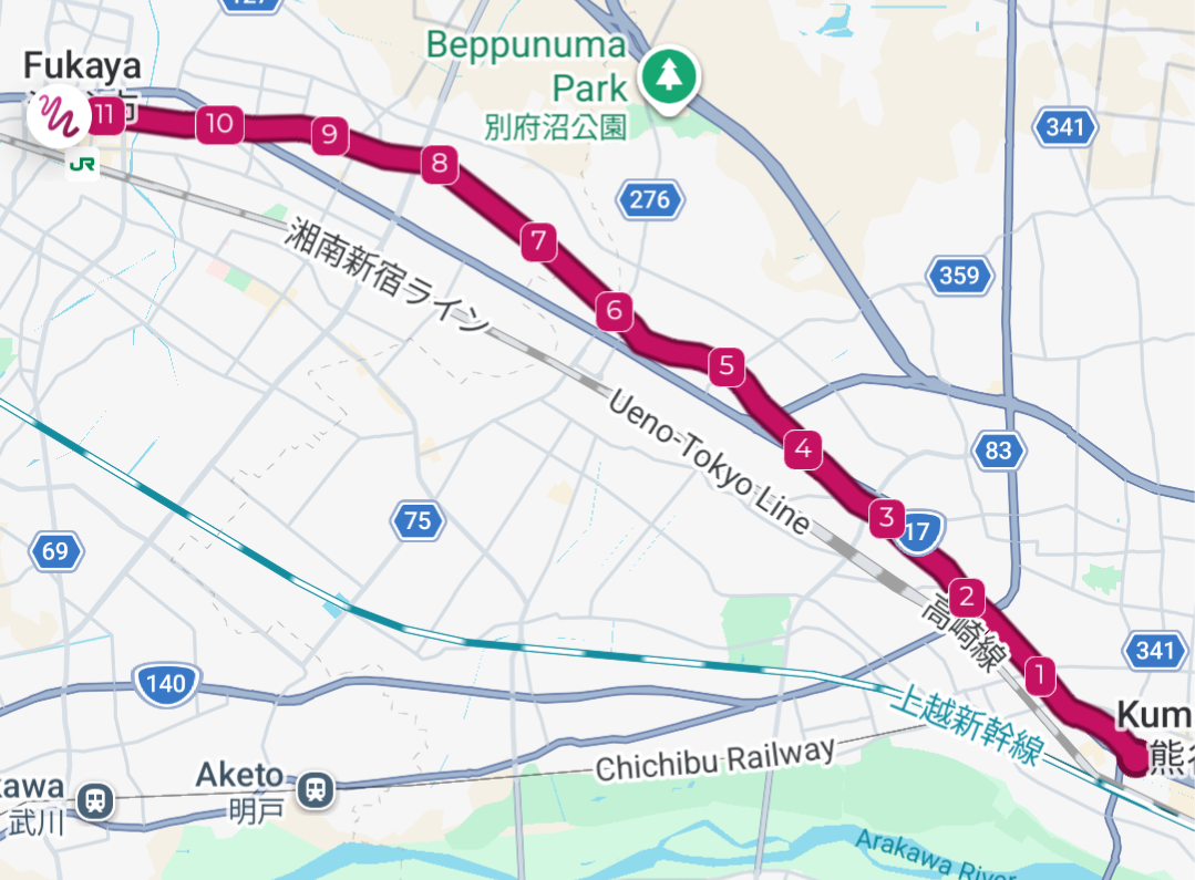
Total distance hiked today according to the map: 25.9 km
Total distance hiked today according to my fitness app: 30.4 km.
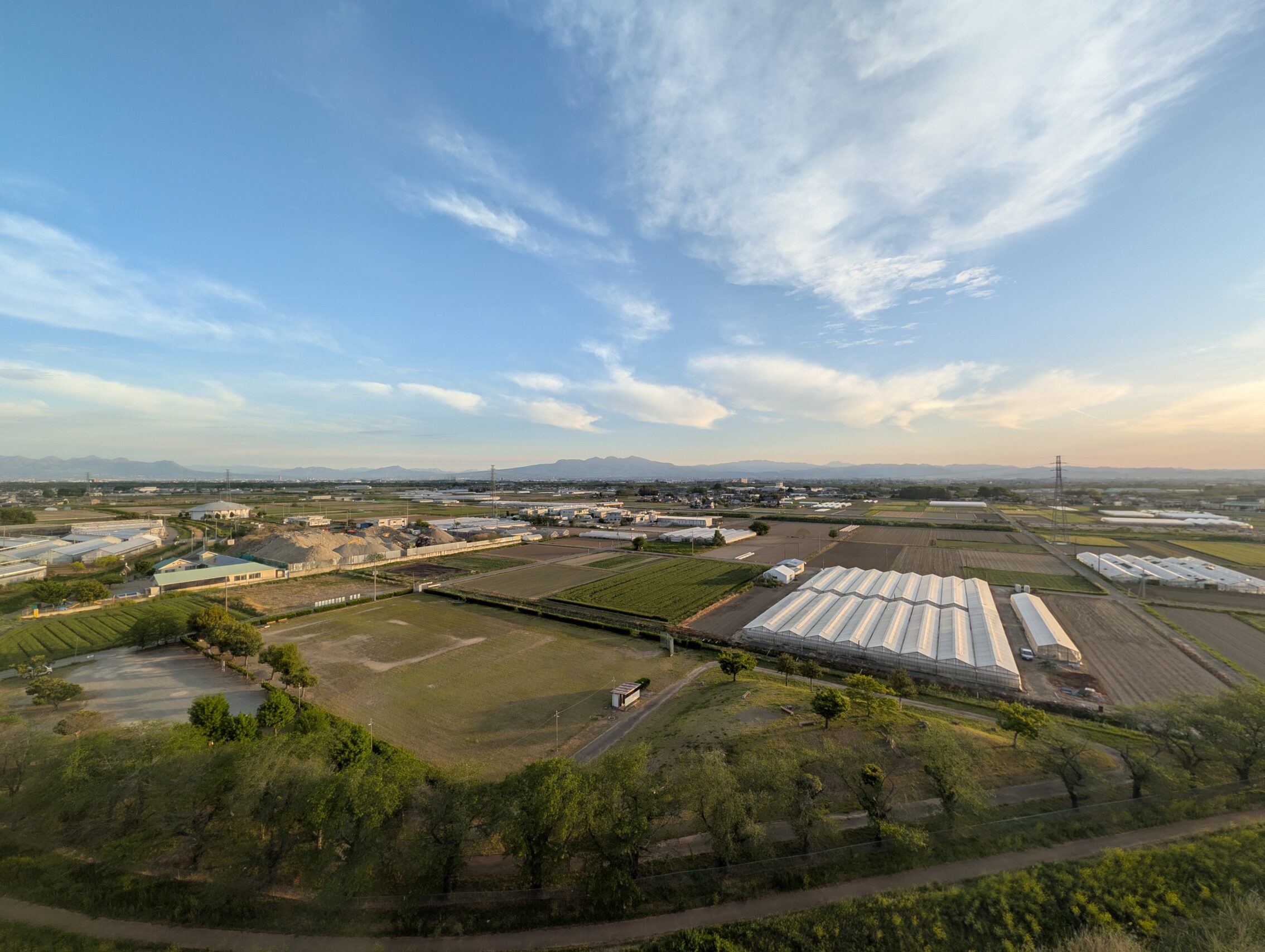
If you add the distances of these two legs together, you won’t get 25.9 km. That is because I kept hiking another 3.5 kilometres or so along the next leg to get to my hotel. And speaking of hotels, this is the view from my hotel room outside of Honjō, with the mountains in the background which is where I’m heading in a couple of days.


Leave a Reply