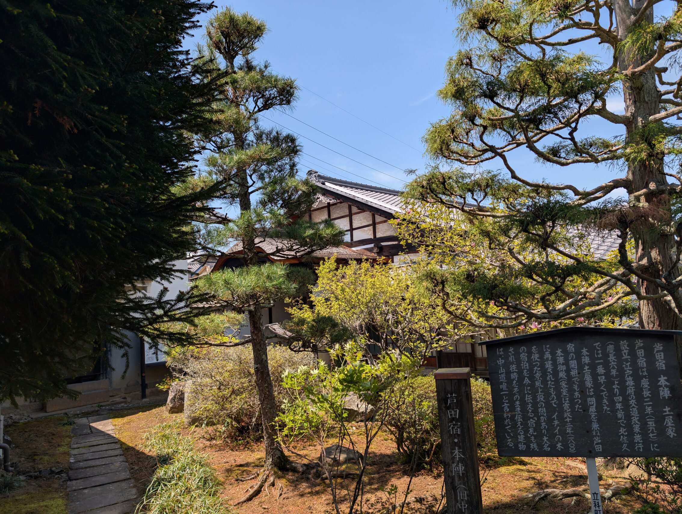
This day stretched across several old post stations, from Iwamurada where I spent the night, via Shionada, Yawata, Mochizuki, Ashida, and Nagakubo before finally reaching Wada-shuku. While the distances between the post stations on the Higashi Shinshu Nakasendō is on the average a lot shorter than on the the rest of the path, it was still a long day of hiking.
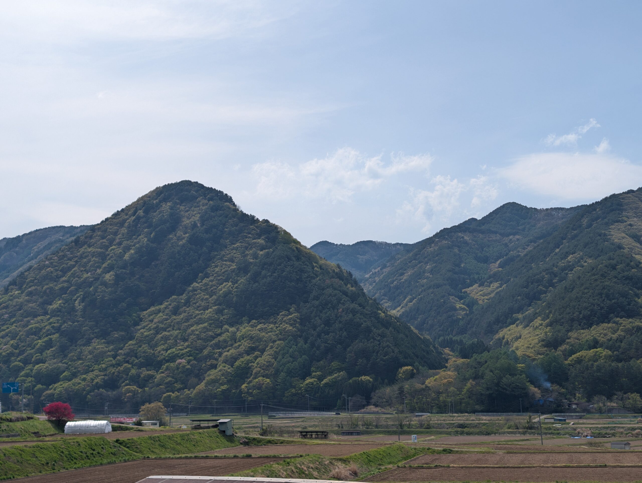
The first six kilometres was mostly rural hiking in the shadow of Mount Asama behind me. This mountain basin is also called the Saku plains which is a somewhat misleading name. It is a lot flatter than the surrounding mountain ranges, for sure, but it isn’t flat in the way you might imagine it if you’re used to the Kantō plain. Everything on the eastern side slopes down towards the Chikuma river (or Shinano river as it’s also called), and sometimes quite steep slopes as well. On the western side of this temperamental river you almost immediately enter the foothills of the mountains.
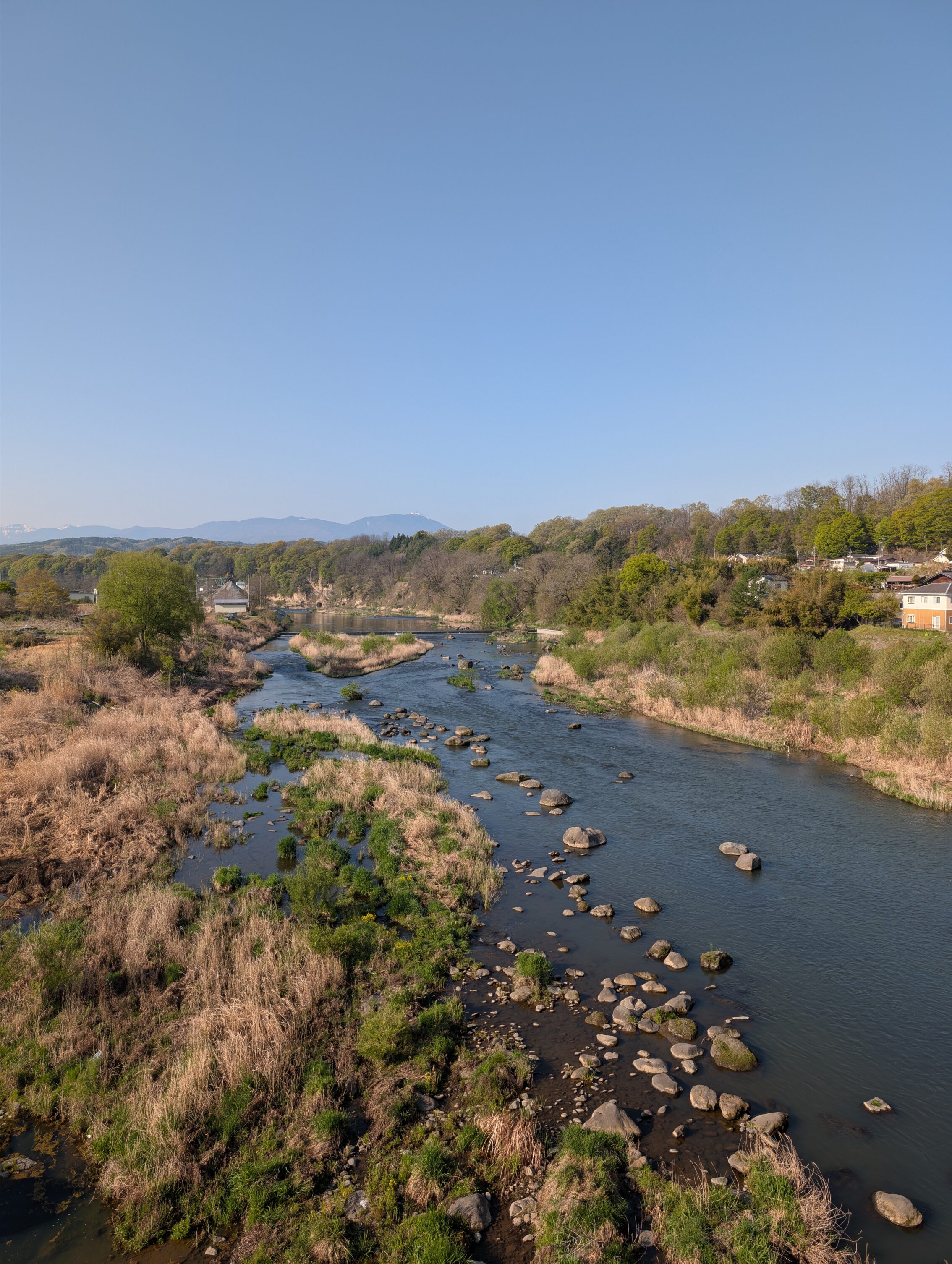
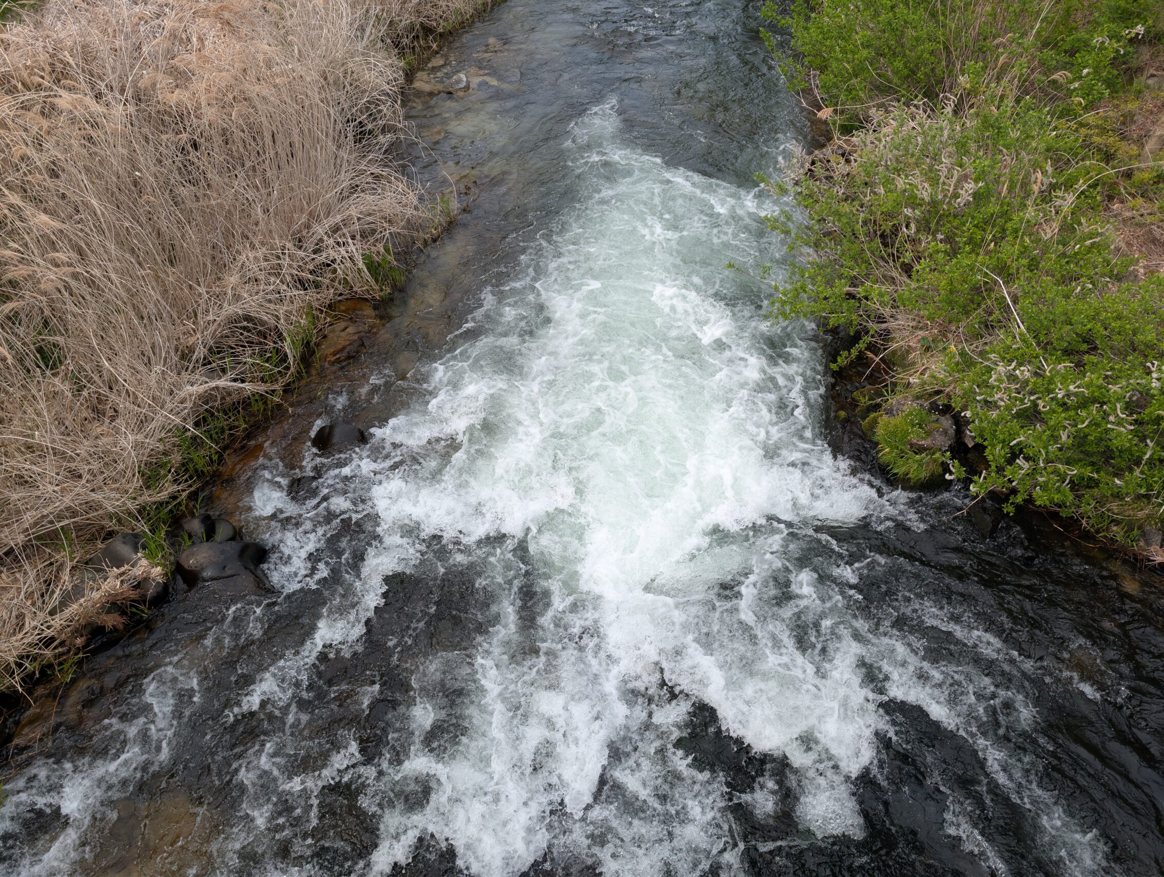
Shionada-shuku and Yawata-shuku are almost on top of each other, being only a short walk apart. The reason for this is the Chikuma river. Even the Tokugawa clan allowed bridges to be built across it, but the violent floods tended to tear them down. There are still remains of earlier foundations next to the modern bridges. So instead of fixed bridges, the two post towns implemented a form of boat bridges where they tied up at least nine fishing boats together in a line across the river, creating a sort of make-shift bridge that travellers could use, albeit precariously. This took a lot of time, and there were also long periods of when even this wasn’t possible because of the raging river. This is one of the reasons why Shionada-shuku is one of the few post towns that boasted two separate honjin, instead of the normal one, and why Yawata-shuku had four waki-honjin instead of the usual 1-2. Even wealthy and influential government officials had to wait around this river.
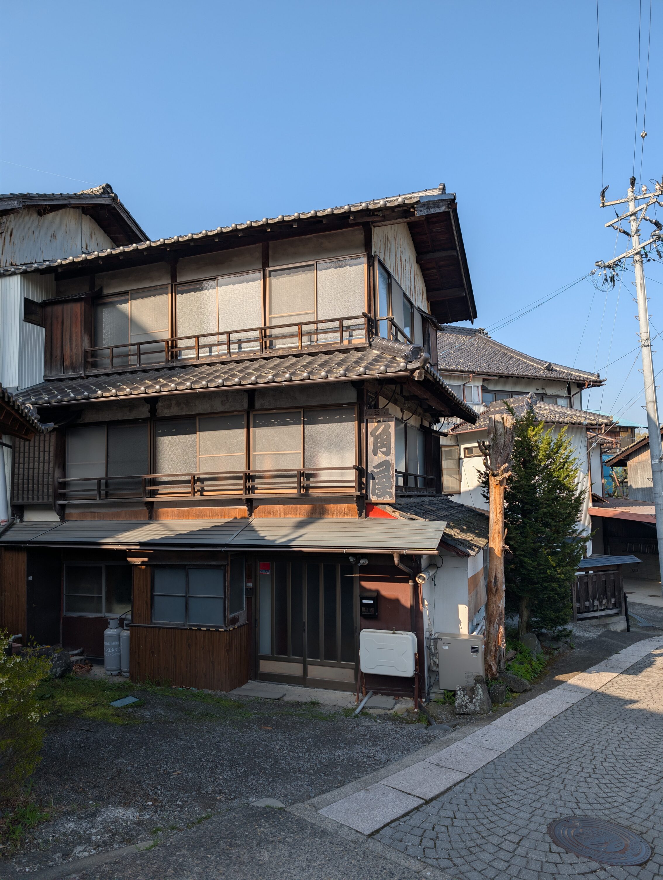
There was even a small ai-no-shuku just west of Yawata-shuku, called Hyakozawa that offered tea houses and other things. This small unofficial town still has some Edo period houses left, but unfortunately they’re pretty dilapidated. The next stop for the day was Mochizuki-shuku which is only another four kilometres from Yawata-shuku. To get to that post town the path crosses a ridge that has one of the steeper slopes on the whole Nakasendō. The trail down from the top of the path towards the Kakuma river drops almost 70 meters over a 300 meter stretch. This section even has a special name, the Uryūzaka (瓜生坂), ie the Uryū slope. The milestone at the top of the ridge is named after this slope. Anyway, I thought it was pretty neat that I didn’t have to go up such a steep section this time as I did crossing the Usui pass.
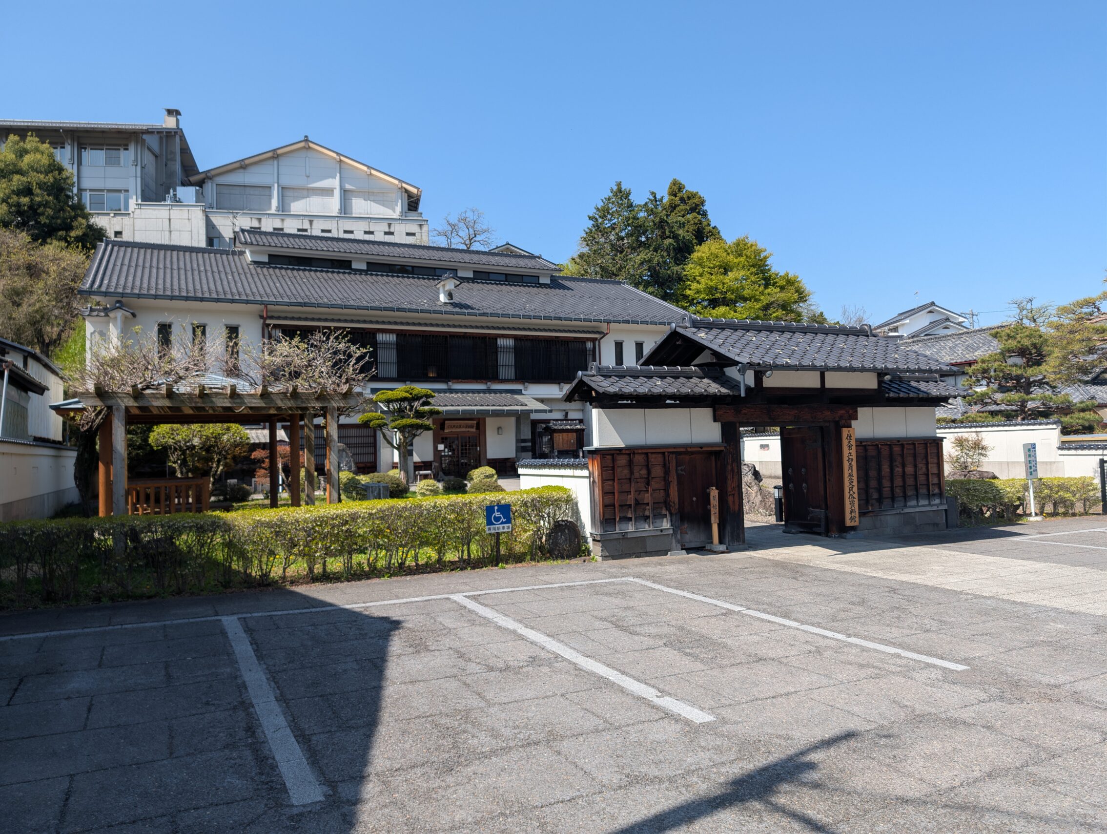
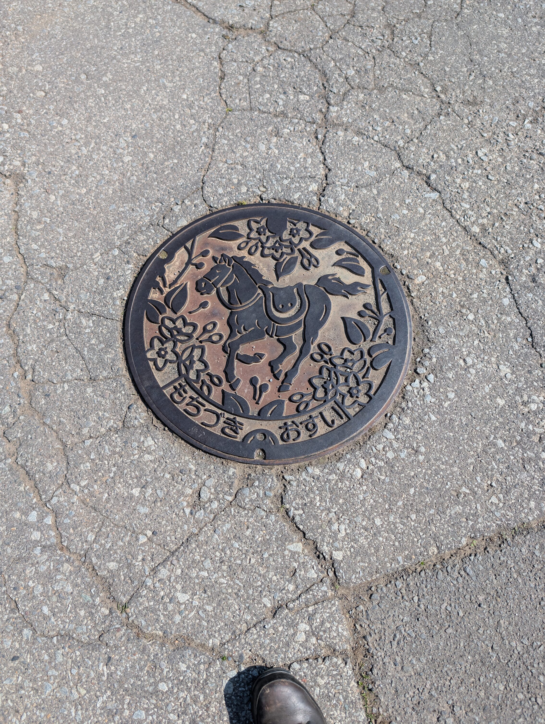
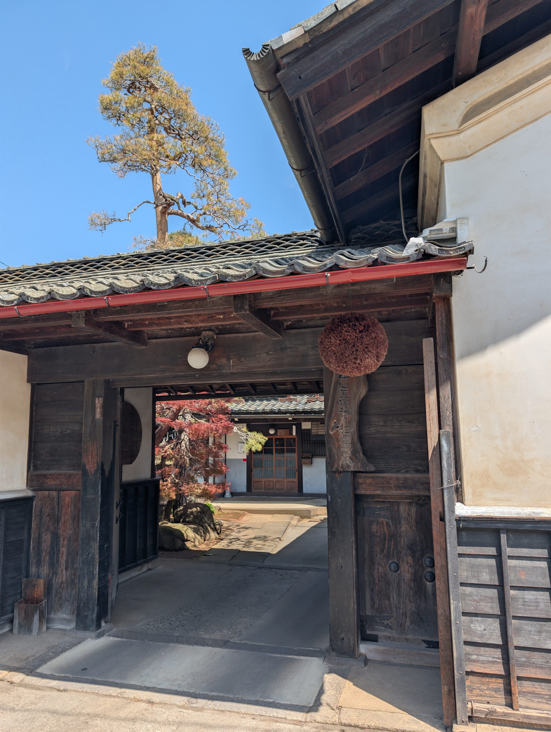
Mochizuku boasts the remnants of the honjin gate, seen above, as well as a lot of other period pieces. The museum of history and folklore in Mochizuki houses a whole slew of items and information from the history of the Edo post town, and earlier such as from the Jōmon period and onwards. The area around the town is also known for its wild horses, of which there remains none of course. But horse breeding is still a strong suit of the people living here.
Onwards and upwards, after Mochizuki-shuku there was yet another ai-no-shuku called Motaishuku. People really like to stop and rest around in this area! I tried talking to a couple of people at the museum in Mochizuki and explained that I was heading towards Kyoto, and one of them immediately said something along the lines of “Motai! Ai-no-shuku! Sake!” and held up two fingers. What he was referring to was that there are two separate sake breweries in Motai right next to each other that both are housed in Edo period buildings. Sake breweries often have so called sugidama, ie balls of twigs and leaves from the Japanese cedar hanging by their entrances, a tradition that spread during the Edo period and is still in use today.
The distance to Ashida-shuku from Mochizuku is about five kilometres, and the path winds its way across fields and a very rural landscape. Ashida itself is a small town with a few cool houses left, including parts of a building from the 17th century where you can go in and see the garden behind the walls surrounding it. The reason for there being so few buildings left from those periods is almost always spelled “fire”, and sometimes “volcanic eruption”, at least on this part of the trek. Mount Asama has had several powerful eruptions over the last 400 years, with the one in 1783 being particularly devastating. In recent times Asama has had eruptions powerful enough to cause damage in 2004, 2008, 2009 and in 2019.
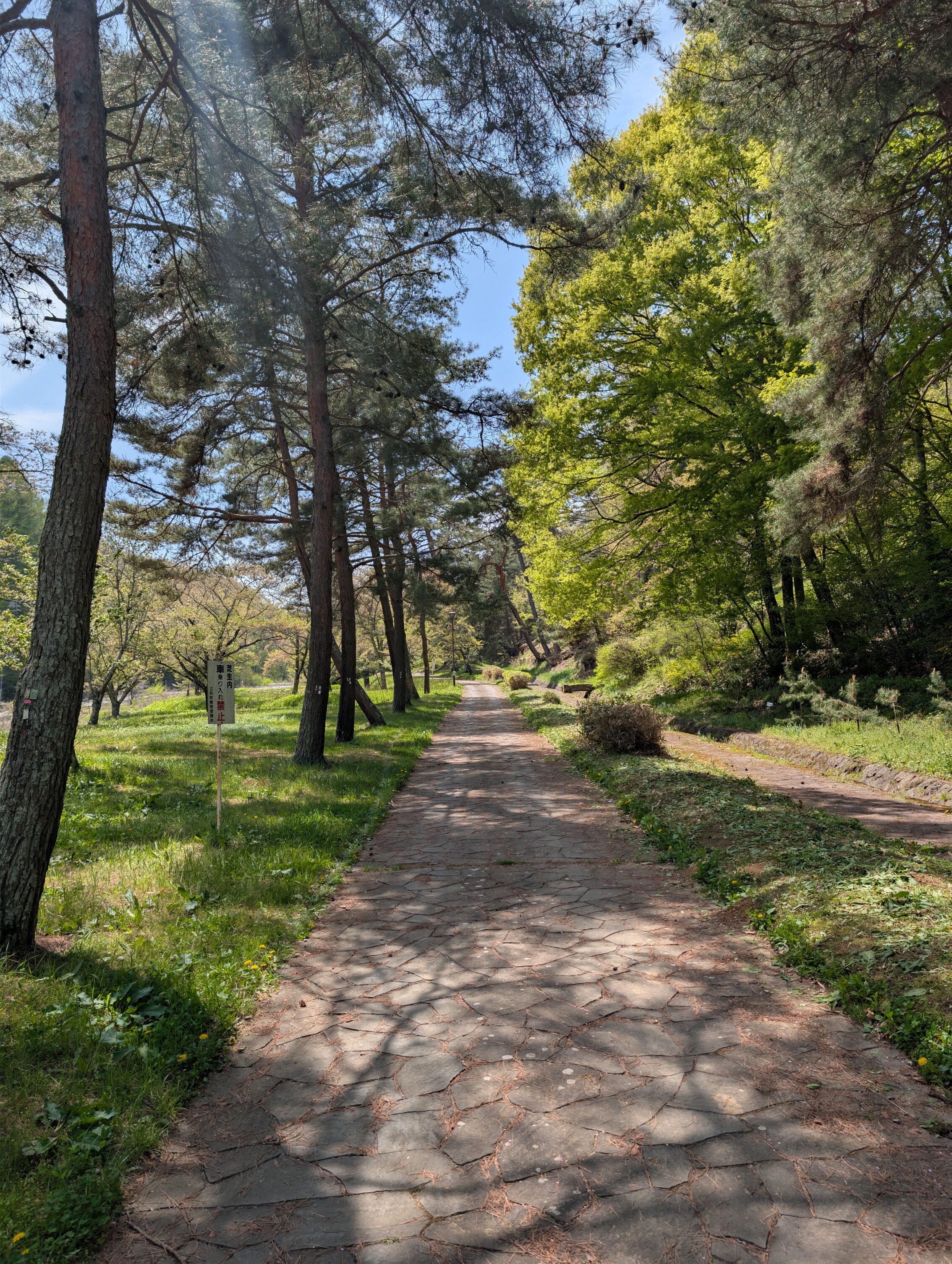
The path from Ashida to Nagakubo is about six kilometres and it crosses the Kasatori pass, and while this mountain pass isn’t anywhere near the height, steepness or difficulty of the Usui pass, is still a hard hike. On the Ashida side of the pass is the famous namiki with about a kilometre of pine trees growing along the sides of the path.
These tree-lined parts of the path has inspired the name of Japanese pen maker Pilot, for their top-of-the-line line of fountain pens. The Namiki pens are utterly beautful!

After the namiki, on the way up to the pass is the last time you can see Mount Asama. It’s time to say goodbye to that remorseless killing machine and move on to the next part!
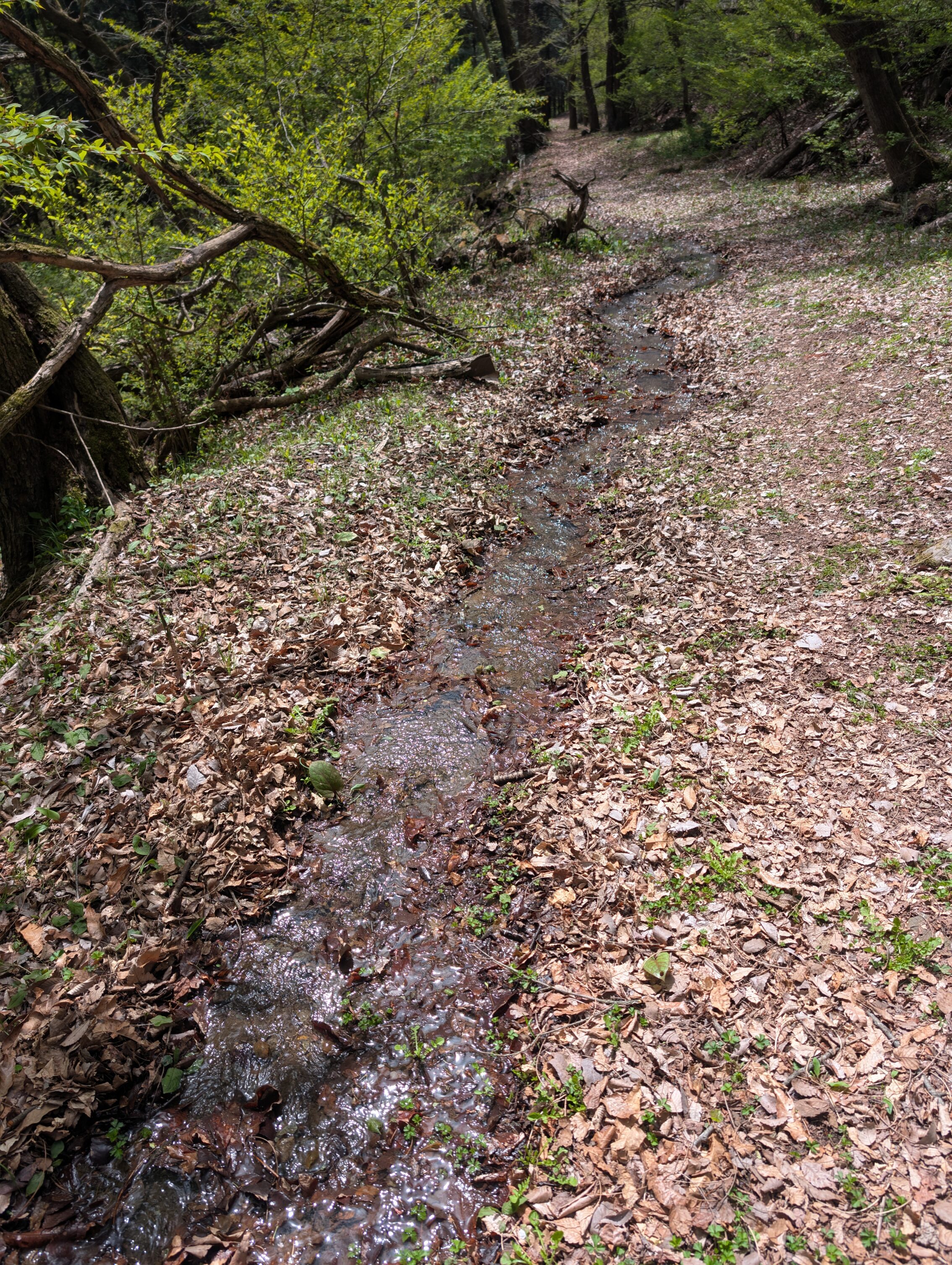
On the way down the Kasatori pass the path eschews the normal roads for a bit and heads off into the forests. This part is very charming, and while not a very long stretch it does wonders for the spirit!
You could spend a lot more time in Nagakubo-shuku than I was able to, as there are a lot of things to see and experience. They have loads of old houses, an old honjin-turned-museum and other things, as well as a shrine dedicated to sake brewers!
The final stretch of this day took me from Nagakubo to Wada and is about eight kilometres. It is a steady hike upwards into the mountains, as Wada-shuku is the gateway to the Wada-pass. This pass is the highest, steepest and most dangerous mountain pass on the whole Nakasendō. I’ll spend a whole day just crossing that, but first I’ll rest a bit!
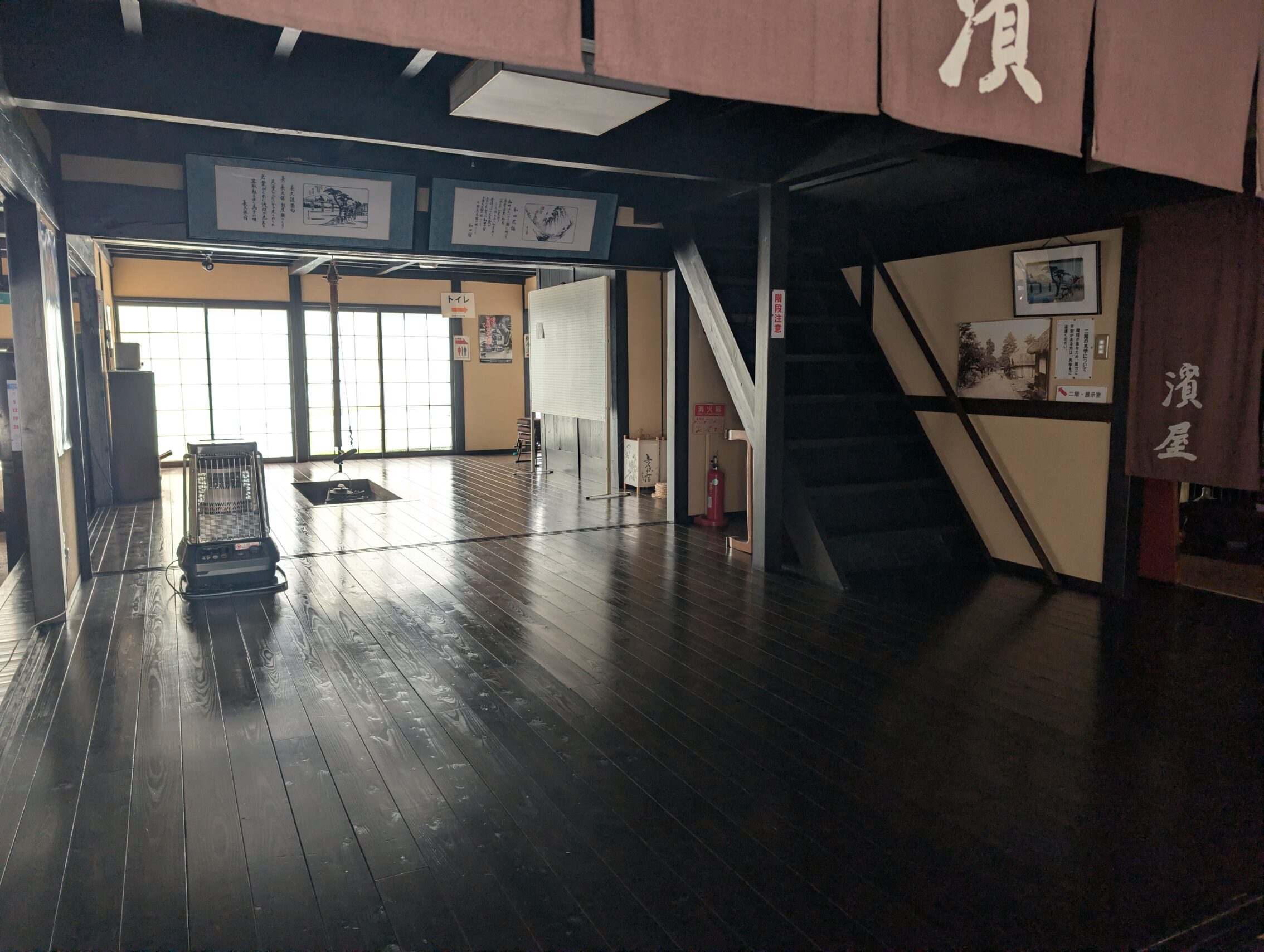
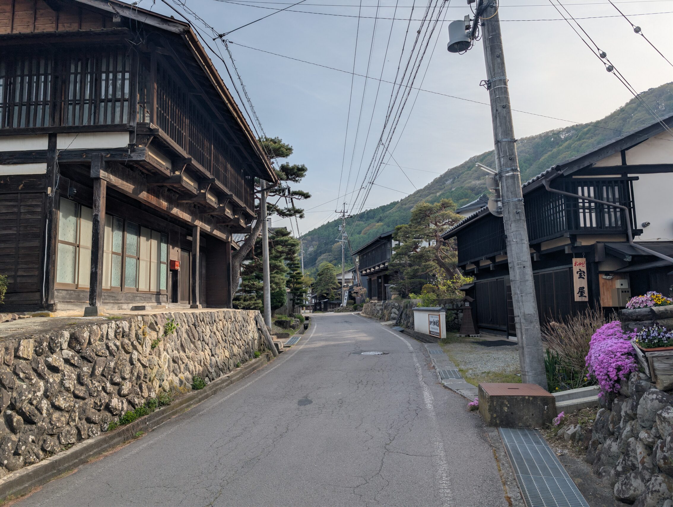
Wada-shuku has enough houses and stuff left from the Edo period to be a destination in its own right. There are several old houses open for visitors such as both one of the waki-honjin and the honjin, and just walking the street from the Oi river northwards is a bit like stepping back in time! Well, except all the power cables of course.
I would have been crossing the Wada pass today if not for a sudden spell of massive amounts of rain. Luckily I am able to stay an extra night in Wada-shuku, and tomorrow seems to be providing much better hiking weather.
Milestones for the day:
The Hiratsuka ichirizuka has been demolished, and there is not even a sign.
The Oumayori ichirizuka has a small wooden pole, but the mounds have been destroyed.
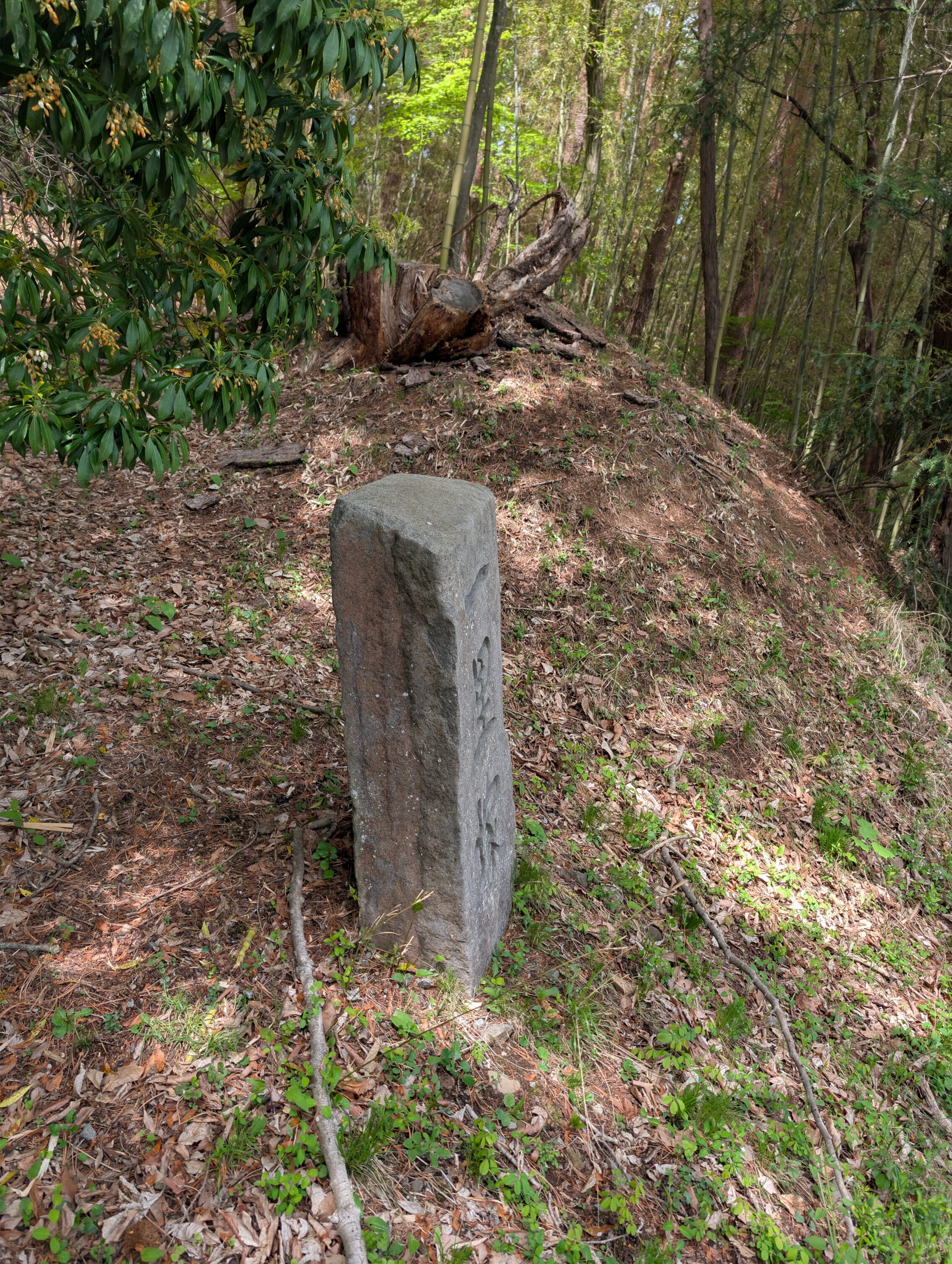
The Uryūzaka ichirizuka still has the southern mound. It is well signposted. It is also at the top of the ridge east of Mochizuki, so anyone coming from Kyoto deserves a rest here after a gruelling climb up the hill.
The Motai ichirizuka is at the western end of the ai-no-shuku, and there is a miniature park with a bench and everything. There is possibly the remains of one of the mounds on the slope on the other side of the road.
The Kasatori Pass ichirizuka. It is somewhat surprising that this milestone still has the remnants of a mound considering how wide and trafficked this road is. Both that and the information sign etc are on the opposite side of the road from where the pavement is, so you have to dash across this rather dangerous road if you want to take a closer look.
The Yonpaku ichirizuka is at the base of the valleys just downstreams of where the Daikado river flows into the Yoda river, and both mounds have utterly been wiped away by floods instead of by modern development. This happened several times during the Edo period, and after a while they stopped rebuilding it. There is an extensive information board, and a small gazebo to sit and rest for a while.
The Serizawa ichirizuka has a large stone marker for it, but none of the mounds are left.
Distance hiked according to the map: 31.2 km
Distance hiked according to fitness app: 35.2 km.
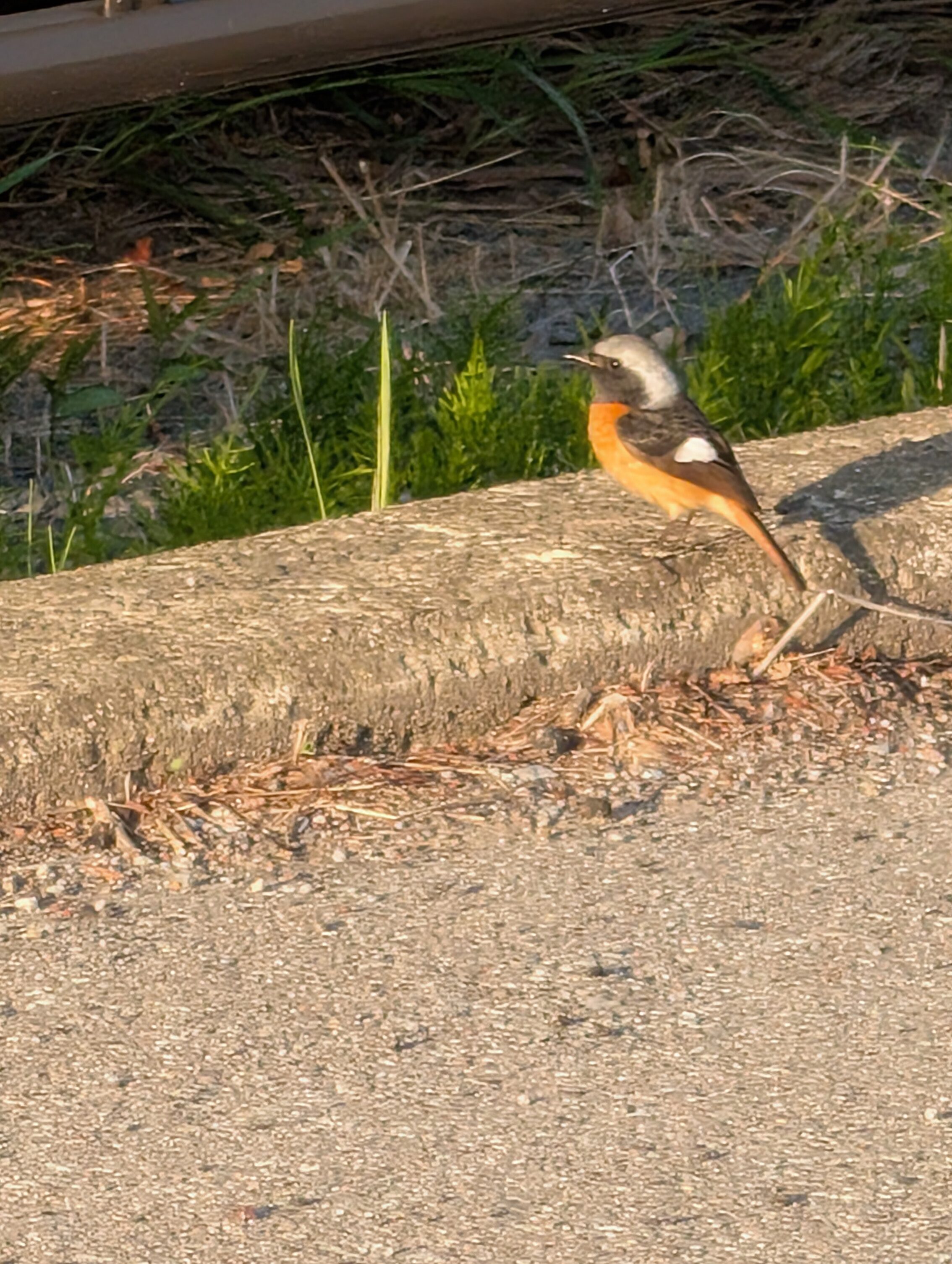
Oh yeah, I promised some birbs as well! I managed to see a Bull-headed shrike and a Daurian redstart!


Leave a Reply