The hike today was rather short, just barely over 10 kilometres. This is the shortest I’ll do (except for my rest days) on this trip. I have two reasons for doing such a short walk today. The first is that the next few sections further on barely have any logistical support at all. There are almost no ryokan, no shops, no nothing, for well over 20 kilometres. The path also crosses the so called Jūsan toge, the thirteen passes, which is a part where the trail follows a ridge out in the forest with a series of (probably) thirteen hills, and after that I have to cross the Biwa pass which is a proper mountain pass. Ie, the next 20 kilometres are going to be rather tough. The second reason is that I want to be able to spend time at the Hiroshige museum of art in Ena city, which Ōi-juku is a part of now.
Imagine my great amusement when I got to the Ōi-juku post station just before lunch and discovered that the museum, and all other museums in the vicinity from what it looks like, are closed today, as yesterday was a holiday. Yay. Well, at least I’ll be prepared and well rested for the challenge tomorrow.
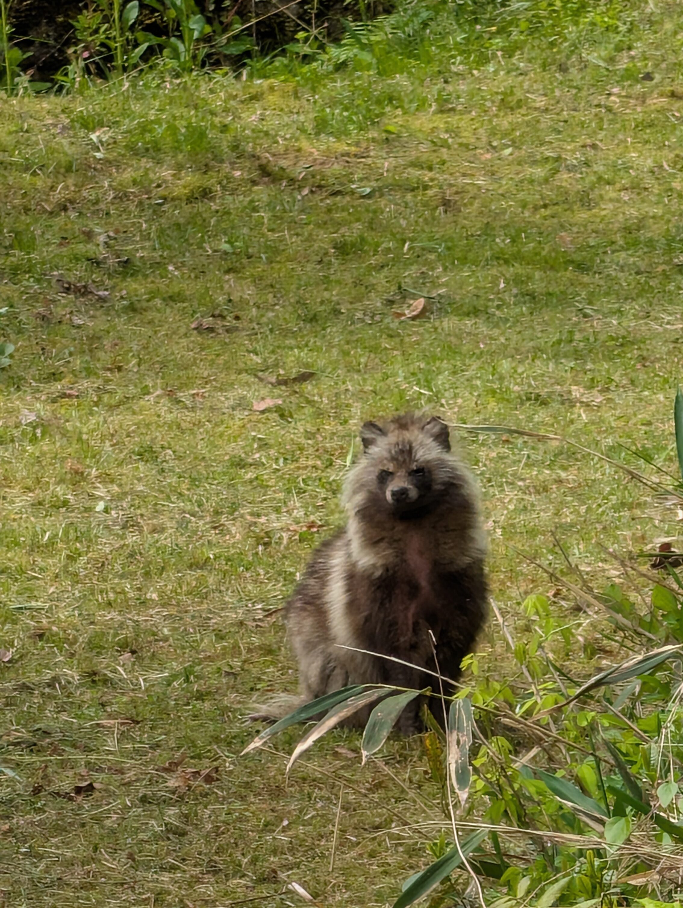
Anyway, the hike was very flat compared to the previous few days, although it would probably feel a lot more straining going in the other direction coming from Kyoto. The landscape was mostly suburbs of Nakatsugawa and later Ena, with a section of more rural passages between them. The signage was exemplary, with loads of different, (and new) types of signs covering basically every single turn and more, along the way. I also managed to spy some cool new animals, so all in all, it was a pretty nice morning hike!
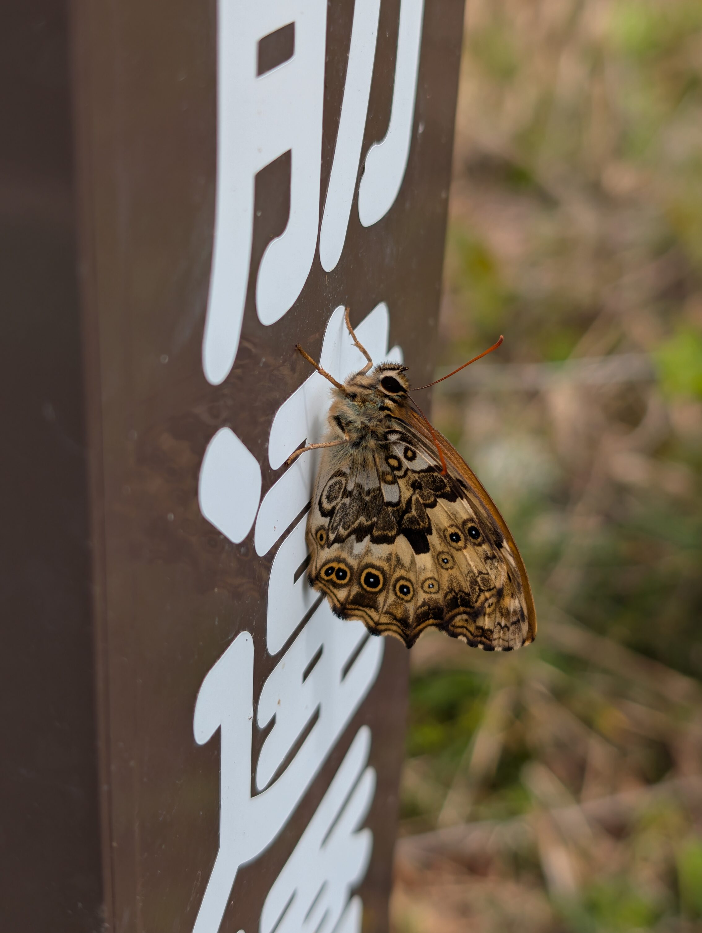
I also saw some new butterflies. Proper butterflies this time. None of that moth nonsense from yesterday. First out is the Neope goschkevitschii. The name just rolls off the tongue, doesn’t it? It’s a cute little spotted one that was sitting on a Nakasendō sign by the road. It was also kind enough to stay still for a few seconds.
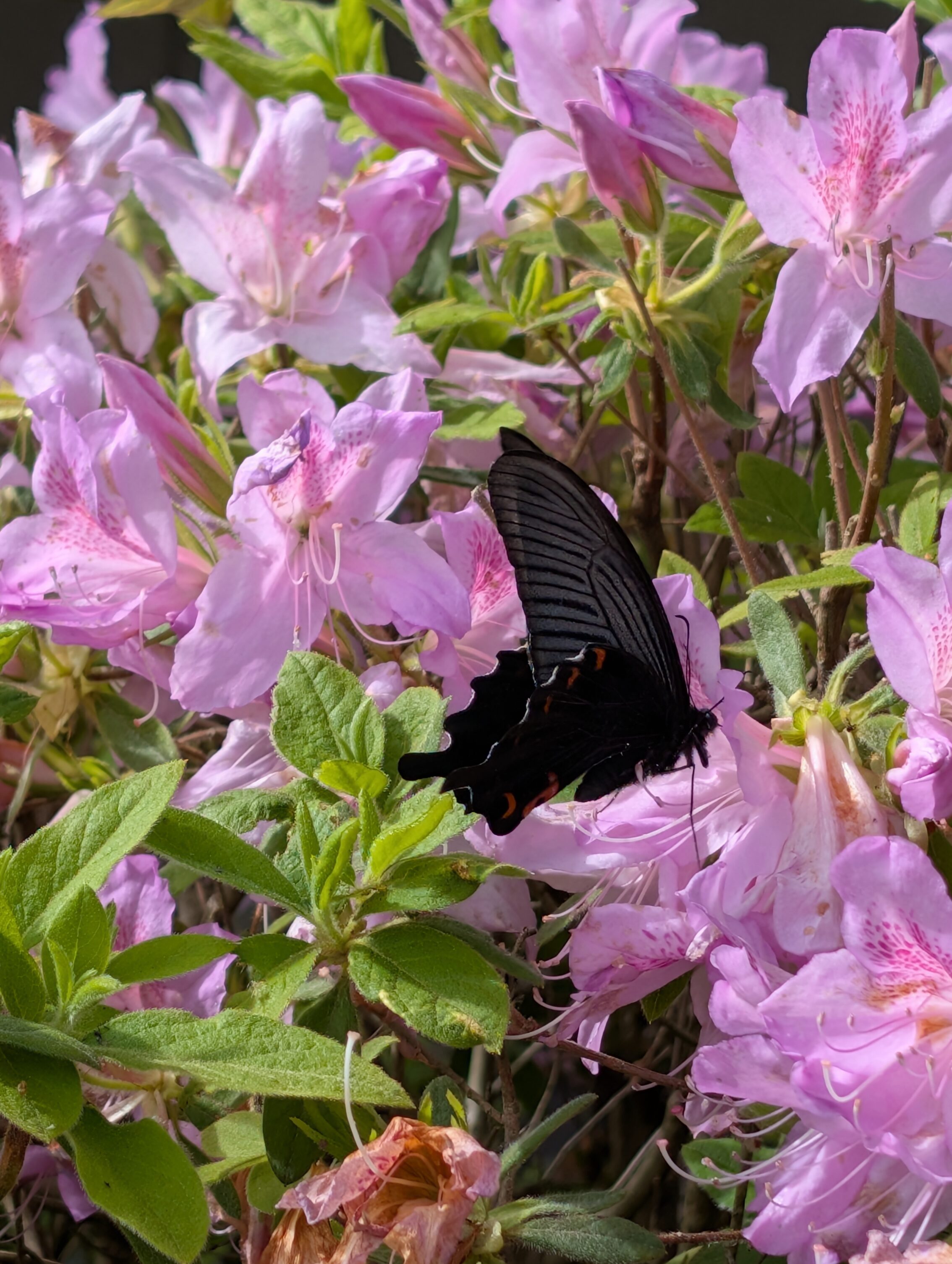
The second one was like a huge black …thing… that fluttered about before it decided to land on this particular flower.
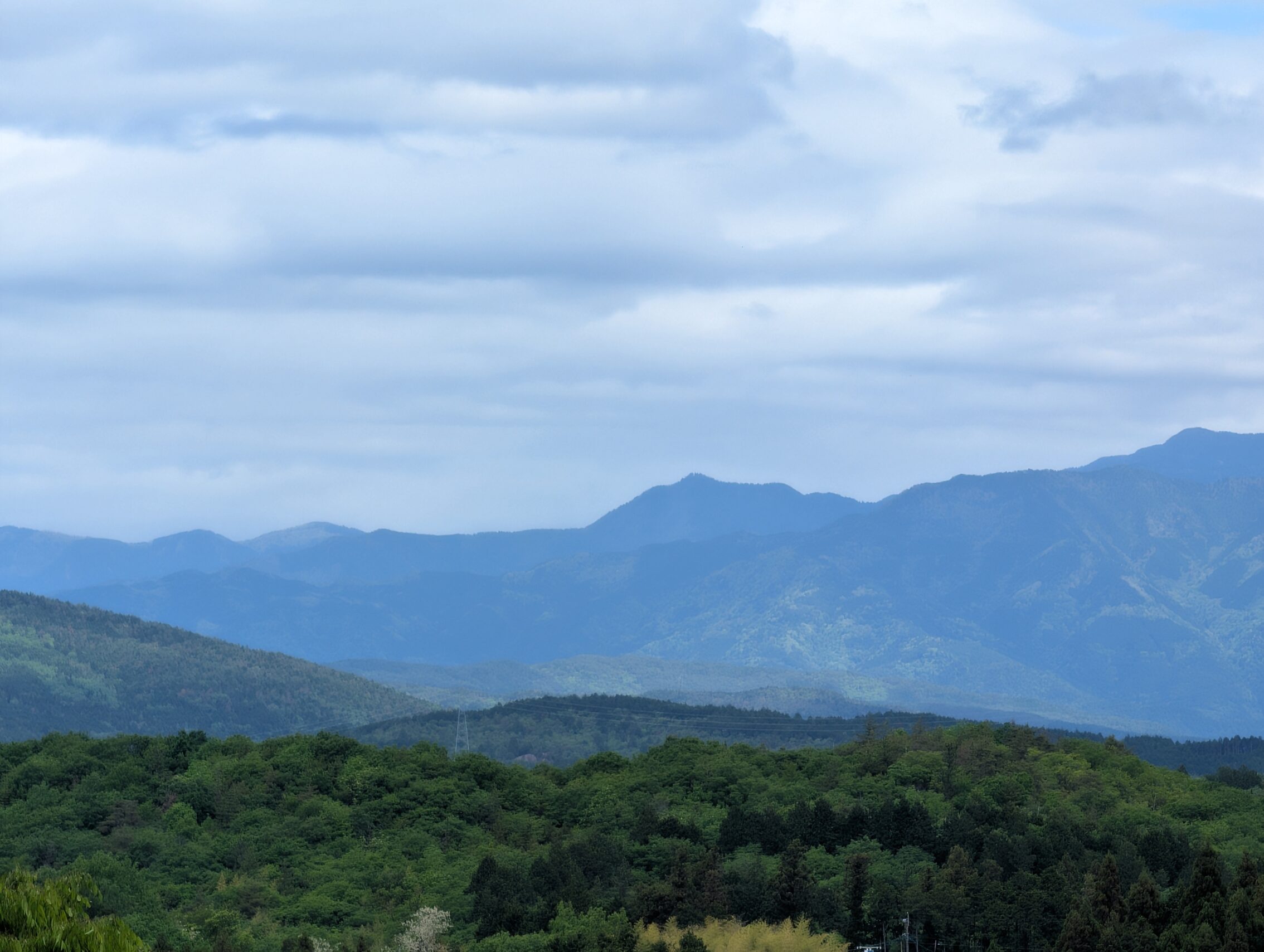
Just before heading down a slope into Ōi-juku at the very end of the leg, there was a small park at the top the hill which offered some lovely views of the mountains to the north. Among those mountains was Mt. Ontake. At least I was assured that the knobbly bits in the middle of this photo is Mount Ontake.
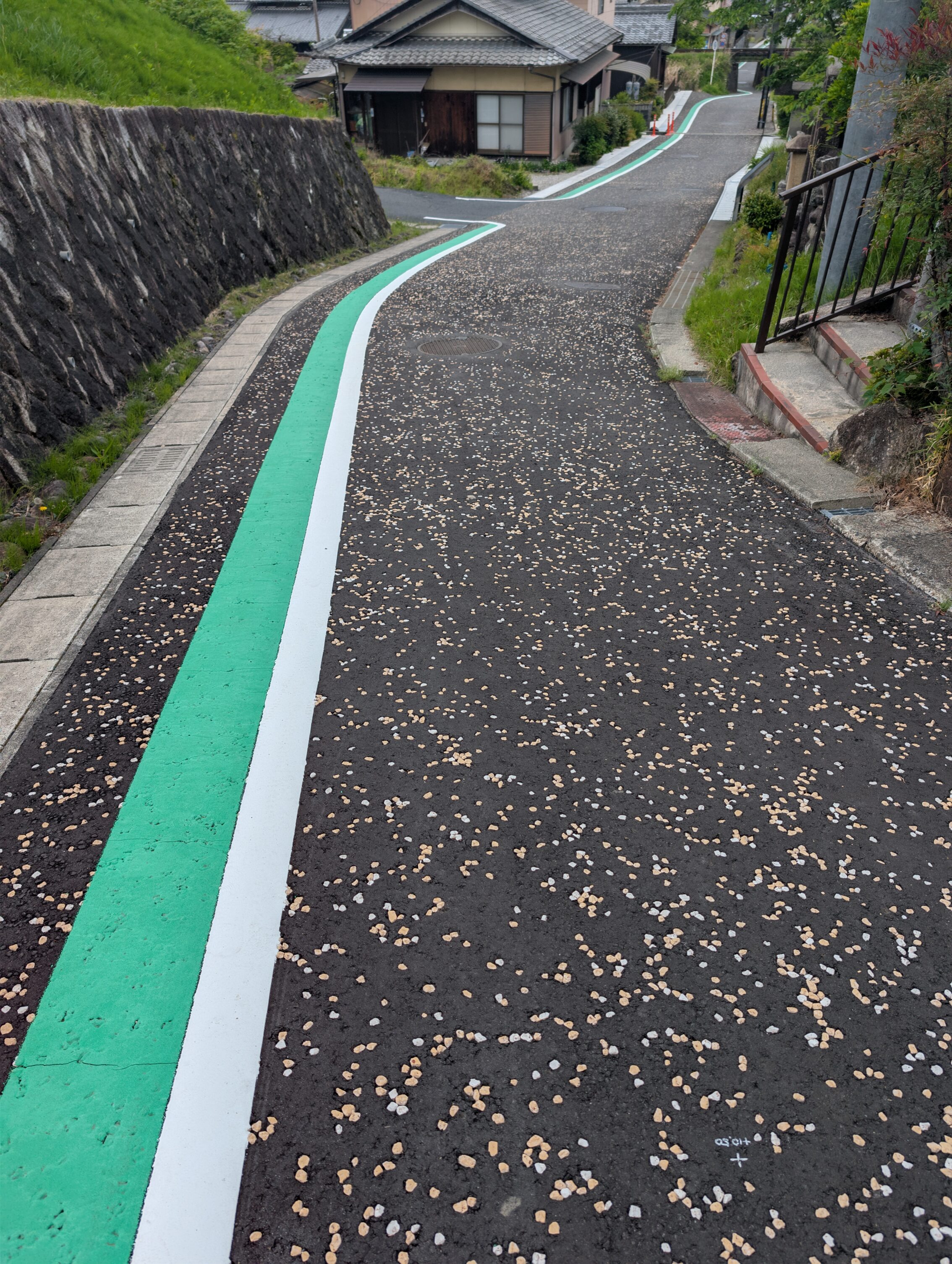
The path is also blindingly easy to follow, because in addition to all the signs available, there is also this.
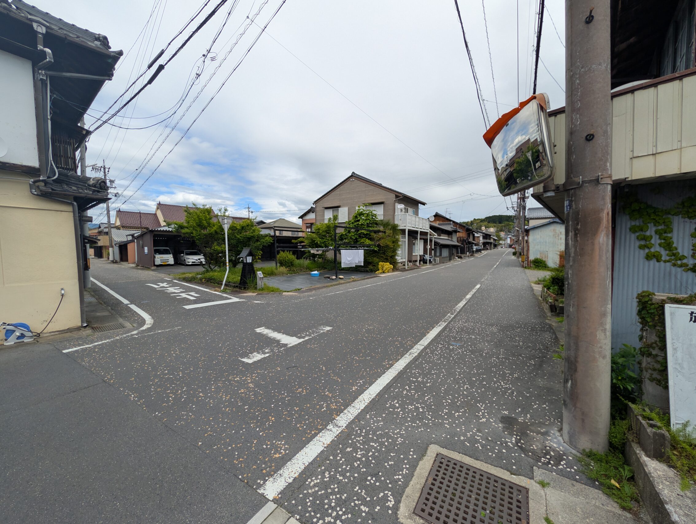
Ōi-juku is famous for having no less than six proper 90 degree masugata turns. Some of them have been “ruined” by new roads but the path is utterly clear anyway, much because of the inclusions in the street.
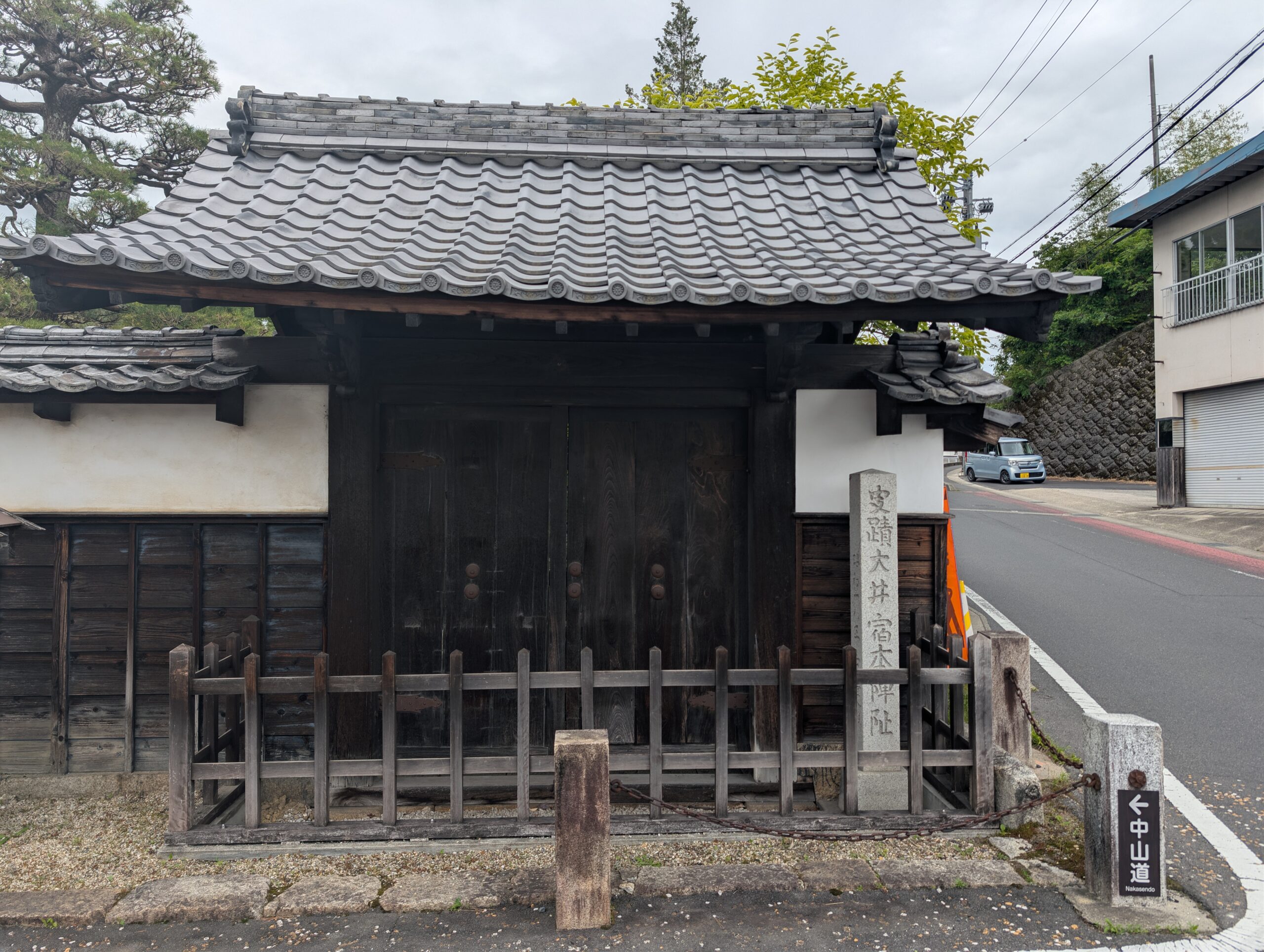
The featured photo is the gate to the old honjin, which is the only thing of that structure that survived a fire. Parts of the gate is believed to be original from the 17th century.
Distance according to the map: 10.8 km
Distance according to app: 17.7 km, but this includes me running about in Ōi-juku for a few hours trying to find museums, food, and so on.


Leave a Reply