This hike covers what probably are the most famous and well-known passages along the whole Nakasendō: the Magome pass between Tsumago-juku and Magome-juku, as well as the Ochiai cobblestones (ishidatami) on the leg between Magome-juku and Ochiai-juku.
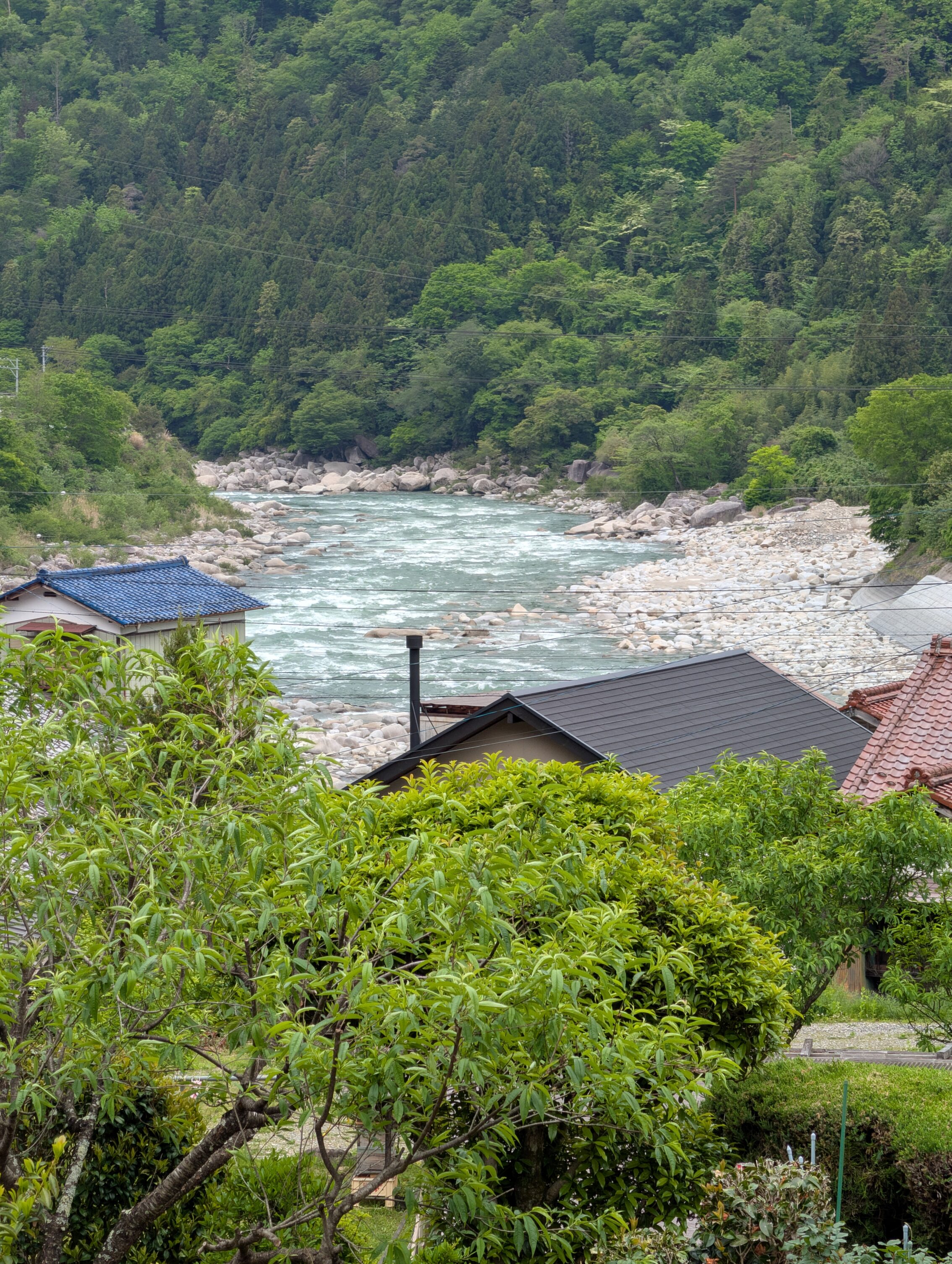
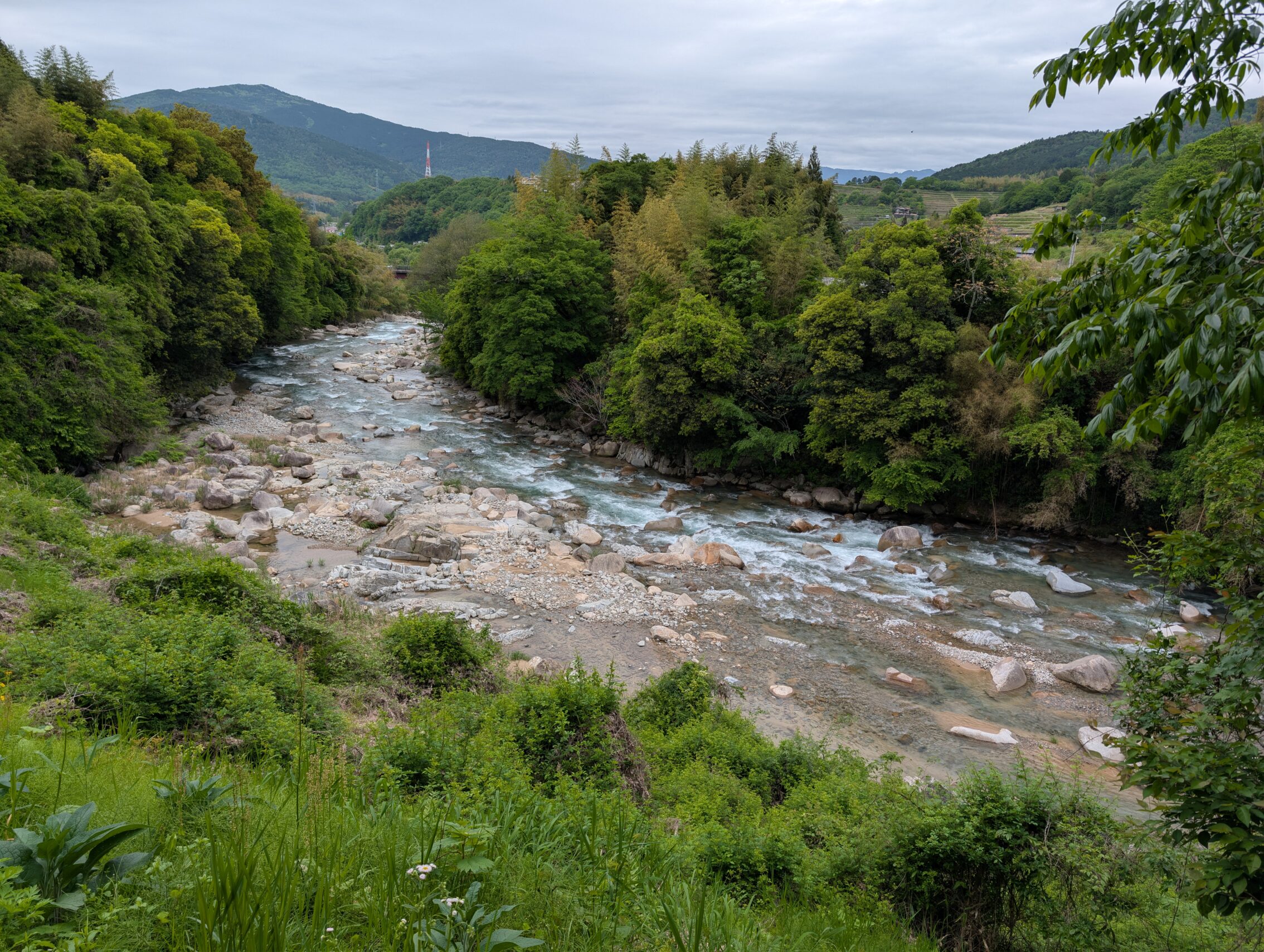
The path towards Tsumago-juku from Midono meanders through the half-rural suburbs of Nagiso, before it veers away from the Kiso river. The Kiso has been a companion since the Torii pass, and will be missed. The Nakasendō will meet up with this river again though, much further west!
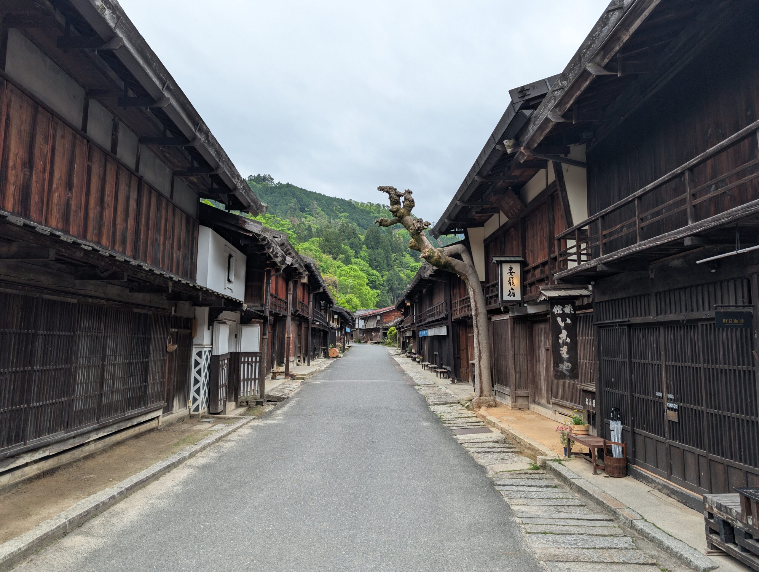
Tsumago-juku is very much like Narai-juku in that it has almost all of the buildings along the main street left intact, or at least in the right shape as they used to be in the 19th century. It is a lively town, full of small shops and restaurants. Or at least it will be lively later on in the day. The featured photo above was taken at about seven o’clock in the morning, and even the villagers were mostly still sound asleep. There is a lot to see in this post town, including museums, and open houses where you can see what life was like in the late Edo period. If they are open when you hike there.
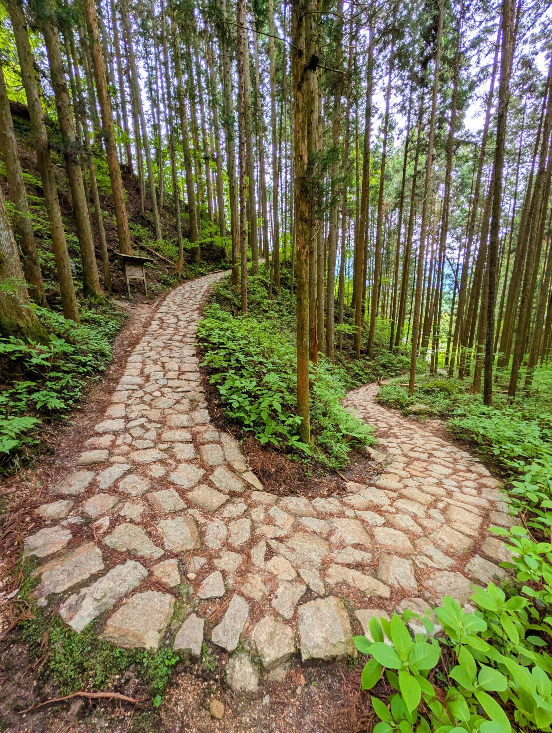
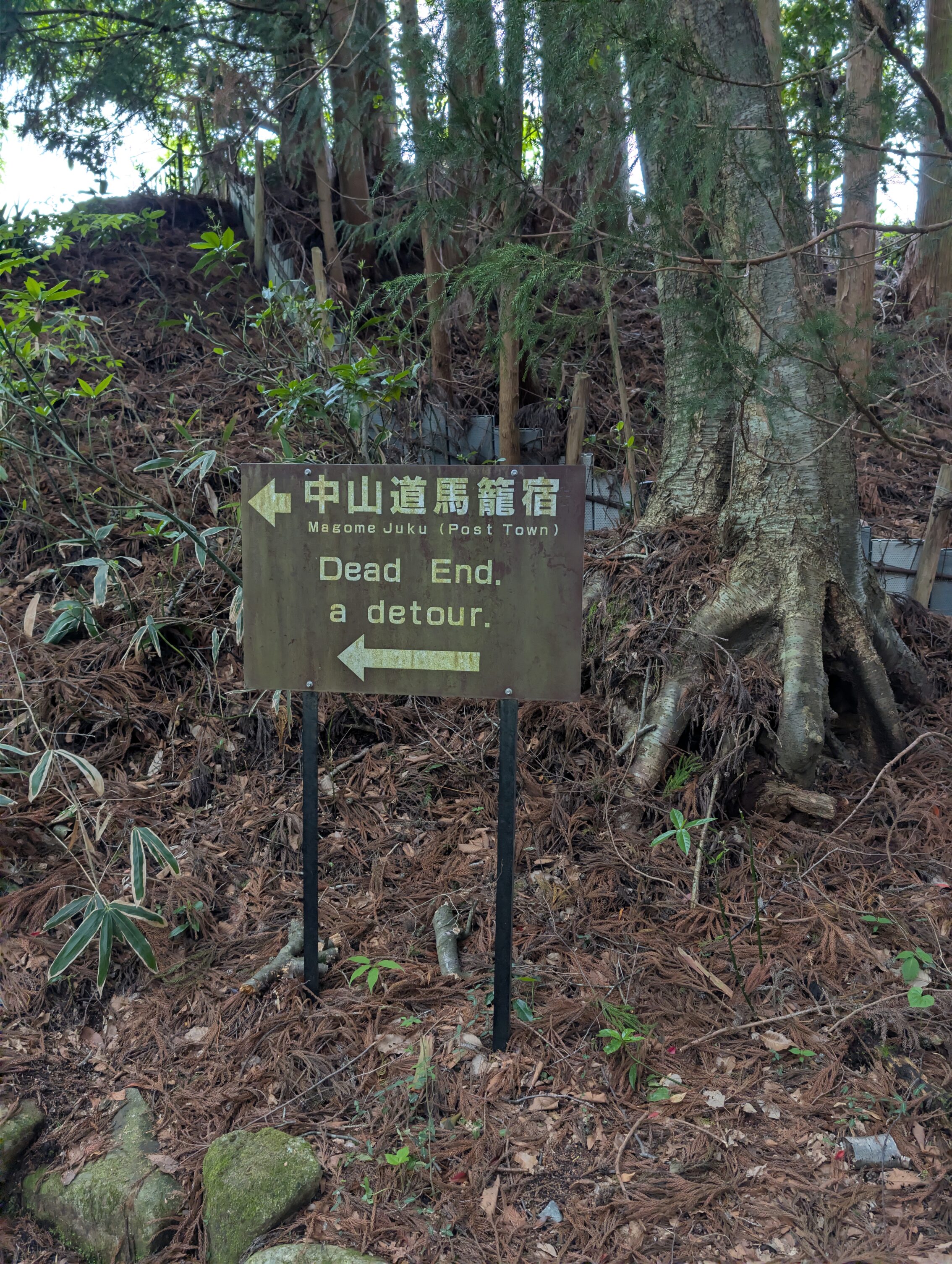
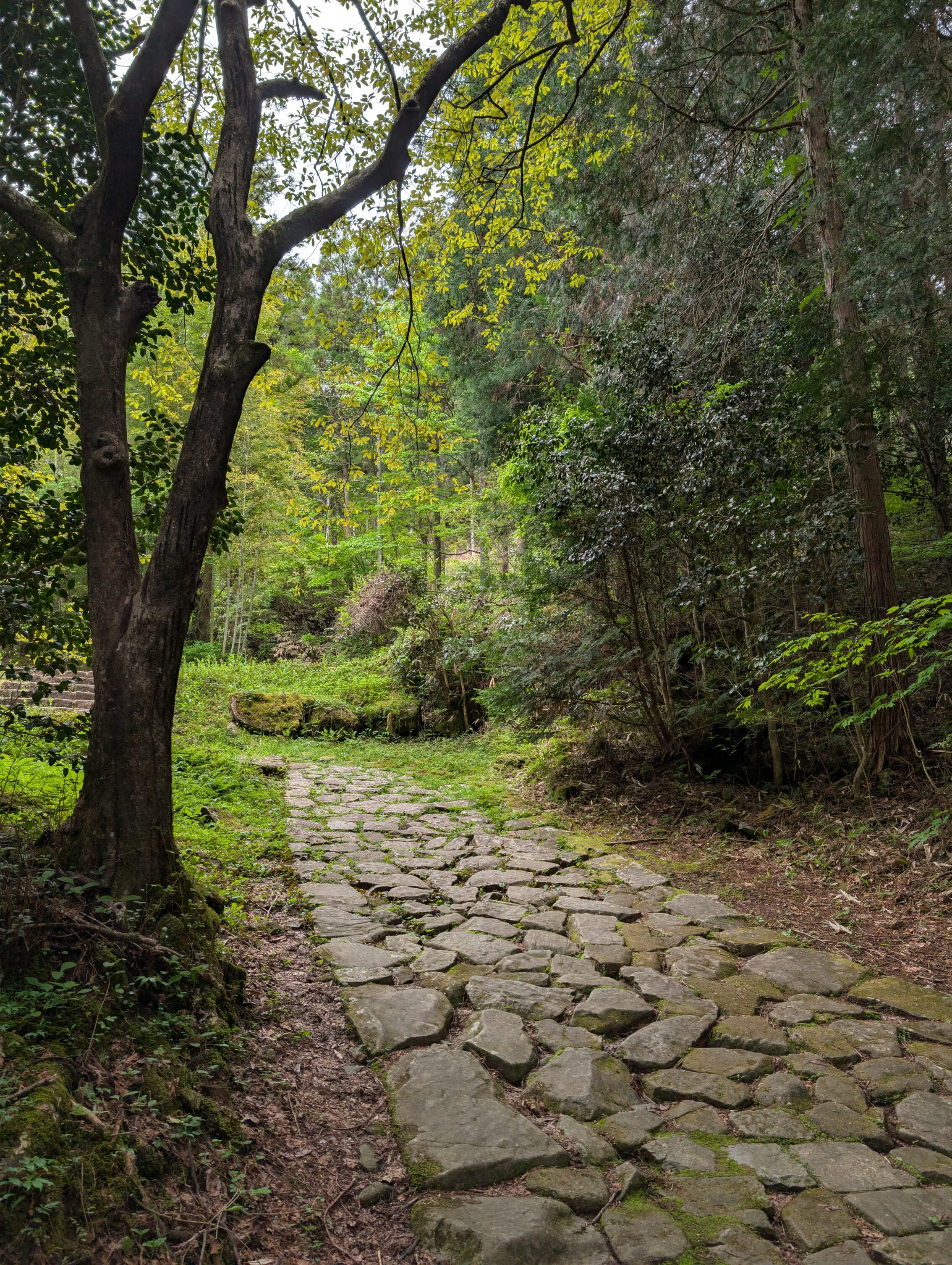
Heading out from Tsumago takes you into a the forest almost immediately, but there are still houses and tiny villages that you pass through before heading into the wild Magome pass properly. One of those villages, O-tsumago used to be an ai-no-shuku, which were non-official post towns that could offer food, drink, a change of horses and so on, but not beds for the night. Just after the O-tsumago hamlet is the start of what probably is the most photographed section of all of the Nakasendō. It is a section of old cobblestones, ishidatami, that turns on itself several times up the very steep hillside.
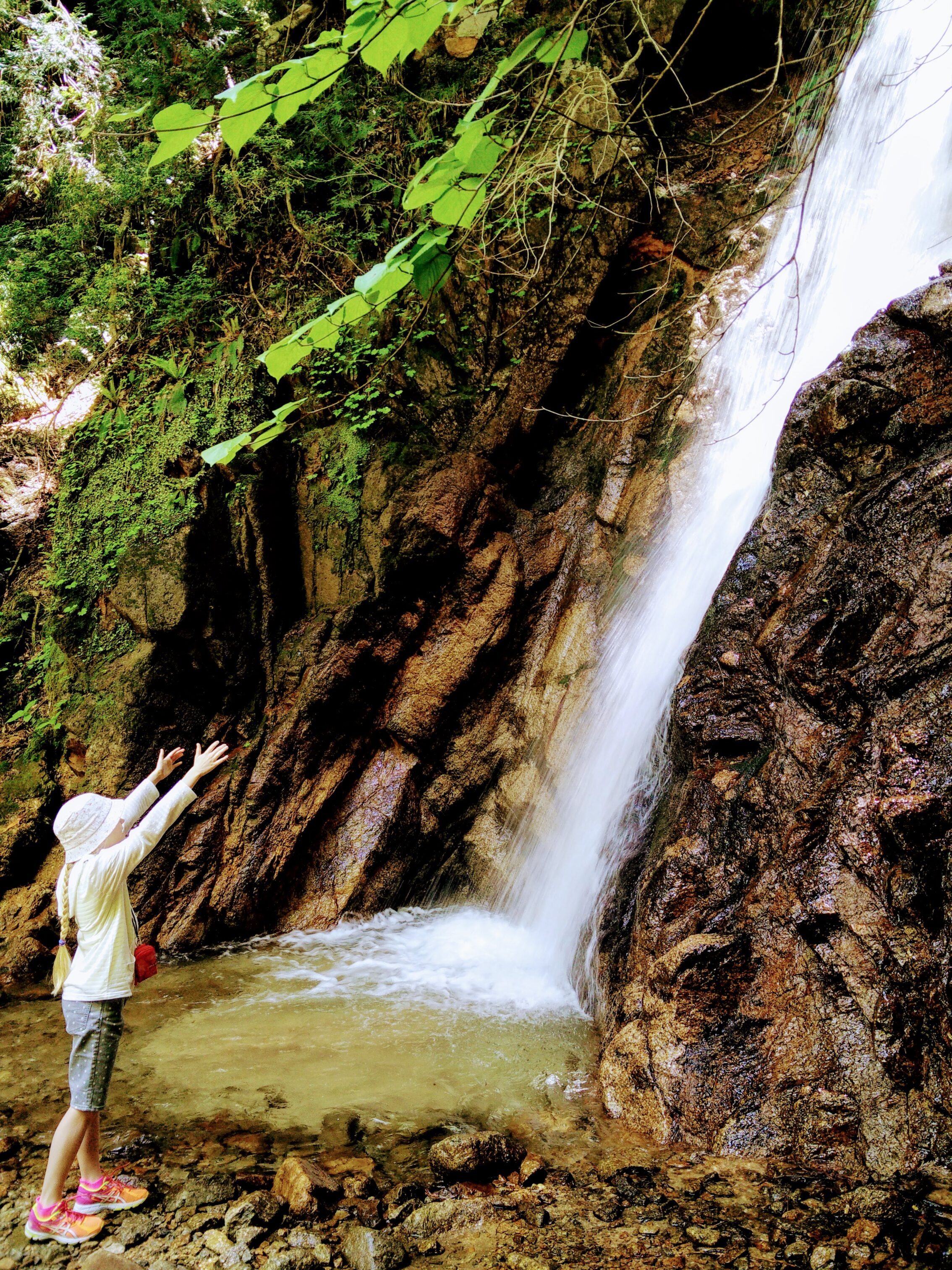
The Odaki and Medaki waterfalls are both near the Nakasendō further up the hill. This picture is from a trip in 2015, however, since it is way better than anything I managed to take today.
The forests felt rather deserted up towards the pass, but at about nine o’clock I started meeting other hikers going in the other direction. And the volume of people walking just kept increasing after this until I reached Magome-juku! Not only is this Golden Week in Japan when more people are out travelling for fun than otherwise, but there was a sizable portion of non-Japanese hikers as well. This section of the path is getting to be rather well-known even outside of Japan!
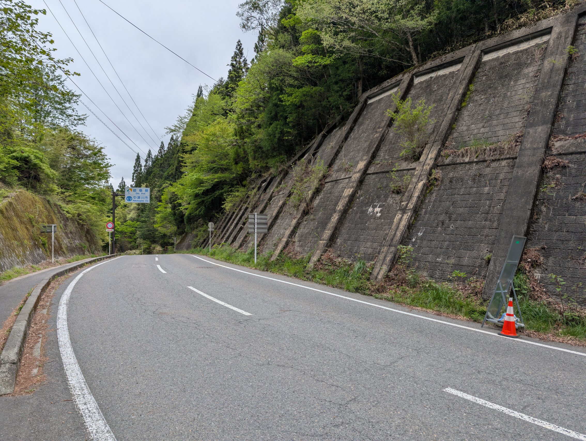
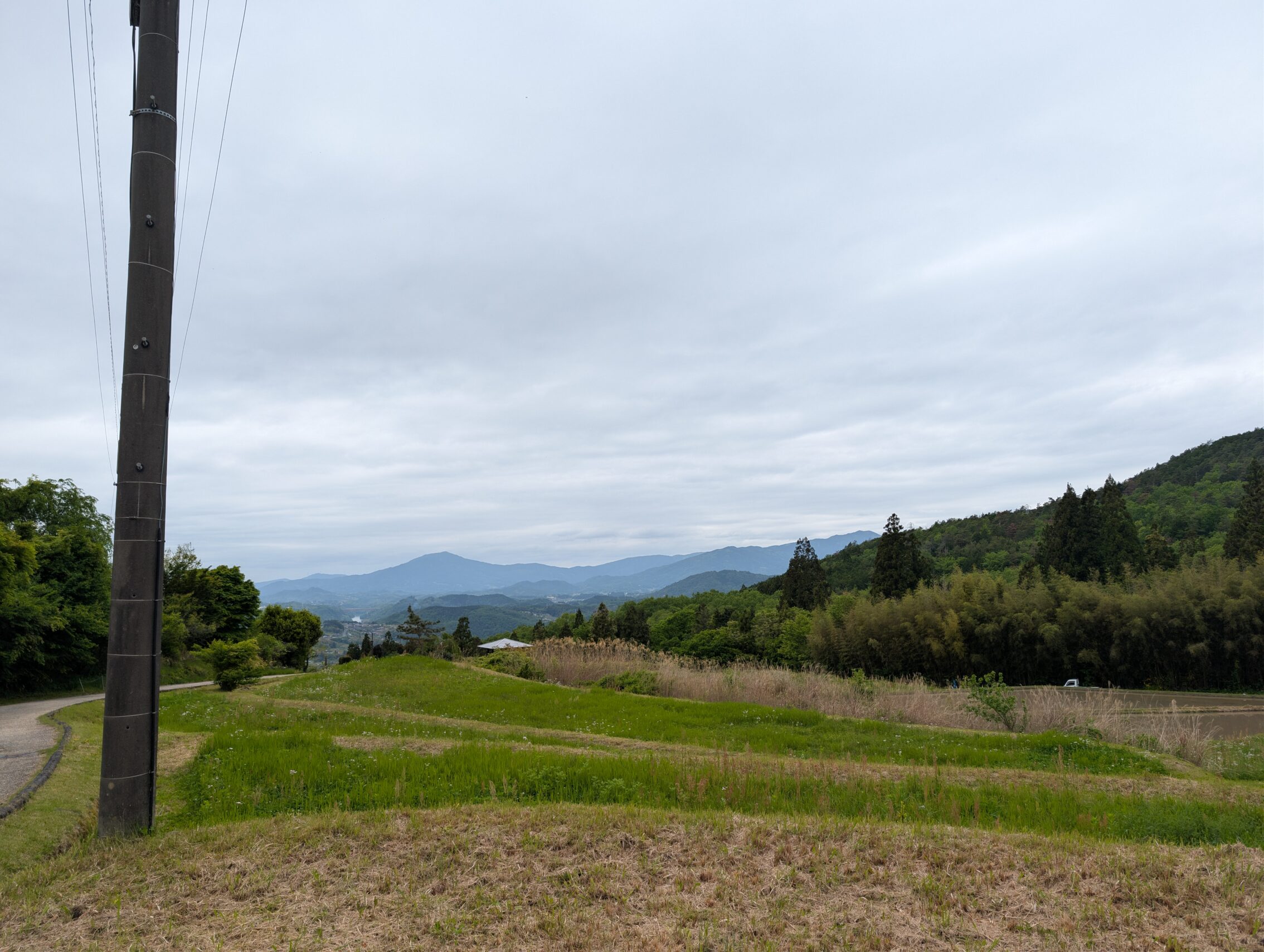
The top of the pass is rather dreary, but it is the division line between the Nagano and Gifu prefectures!
A bit further down the hill towards Magome-juku.
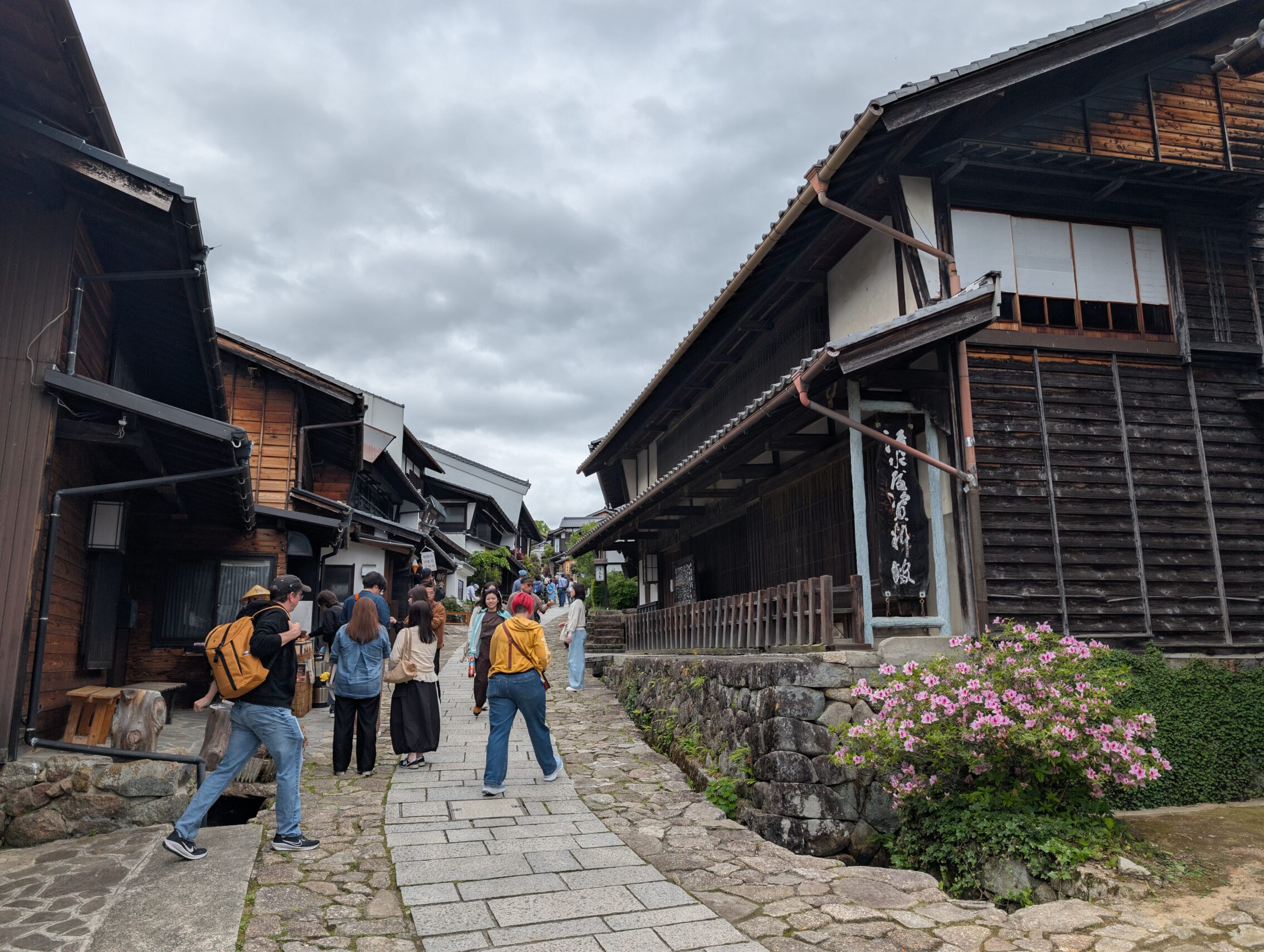
Magome-juku is a lot like the other two pearls of the Kiso valley, Tsumago and Narai, with loads of old-timey houses and small shops, restaurants and ryokan and so on. Except that Magome is built directly on the steep hillside, and that most of the houses there are sort of modern recreations of the Edo period instead of actual Edo period buildings. Almost all of the houses in Magome burned down during the Meiji era, including the house where the famous Tōson Shimazaki was born and lived. His novel Before the Dawn (1929-1935) helped popularise the area, describing the changes it went through during the fall of the Tokugawa era, and the rise of the Meiji. The novel begins with the famous line “The entire Kisoji is in the mountains”.
(But aren’t you a tourist as well? No! I am a sort of historical hiker. Huge difference. Really. For sure.)
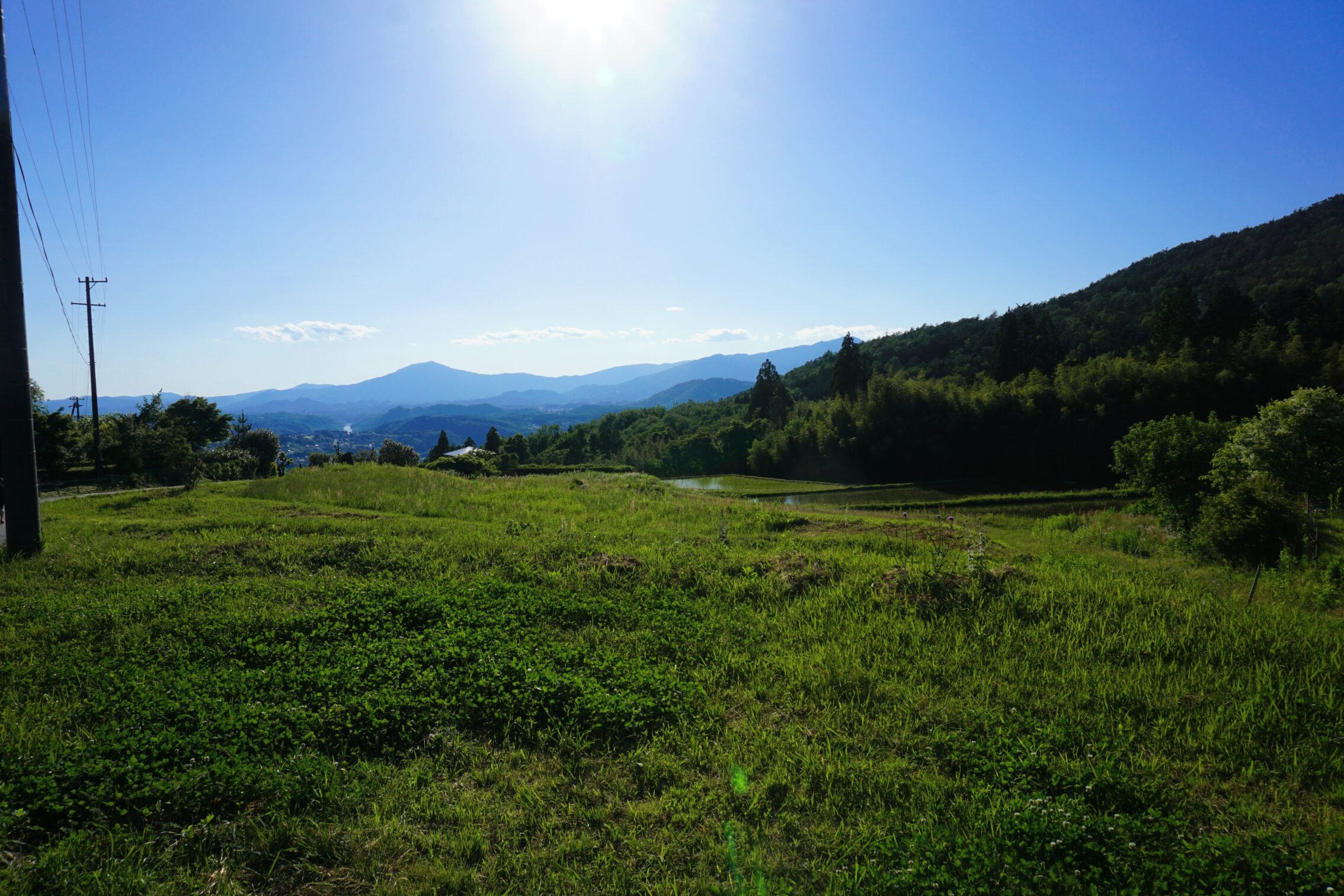
As could be guessed from hints written further above, I hiked this stretch of the Nakasendō in 2015 as well. I tried to recreate this view from after having passed Magome-juku but before heading into the forest again with the Ochiai cobblestones.
The Ochiai cobblestones are a lengthy stretch of still existing (but repaired) ishidatami. They begin just where the Kisoji ends. The entire stretch of cobblestones winds down through the forest. Further down the hill is just as steep, but has been modernised with asphalt a long time ago. There were way fewer people hiking this side of Magome-juku, by the way. Peaceful again!
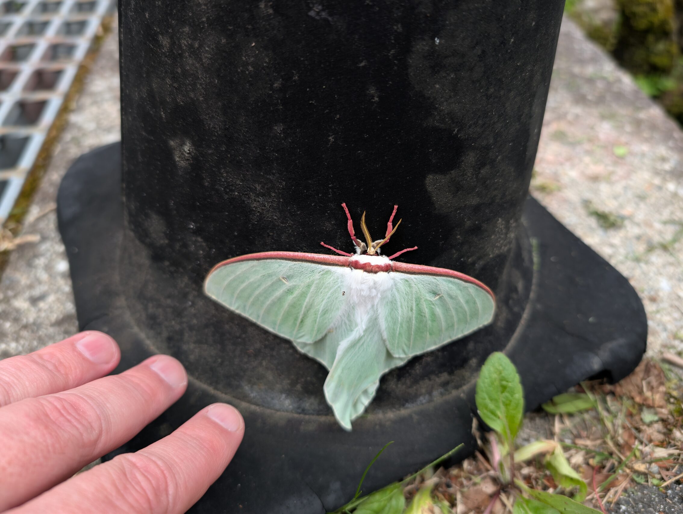
I saw some cool wildlife as well today!
The rest of the path from Ochiai-juku towards Nakatsugawa-juku was surprisingly full of very steep hills, even though I had supposedly left the mountains behind.
Milestones seen today.
Kamikubo ichirizuka
The O-tsumago ichirizuka (or Kudaritani ichirizuka as it is also called)
The Magome pass ichirizuka
Sinchaya ichirizuka
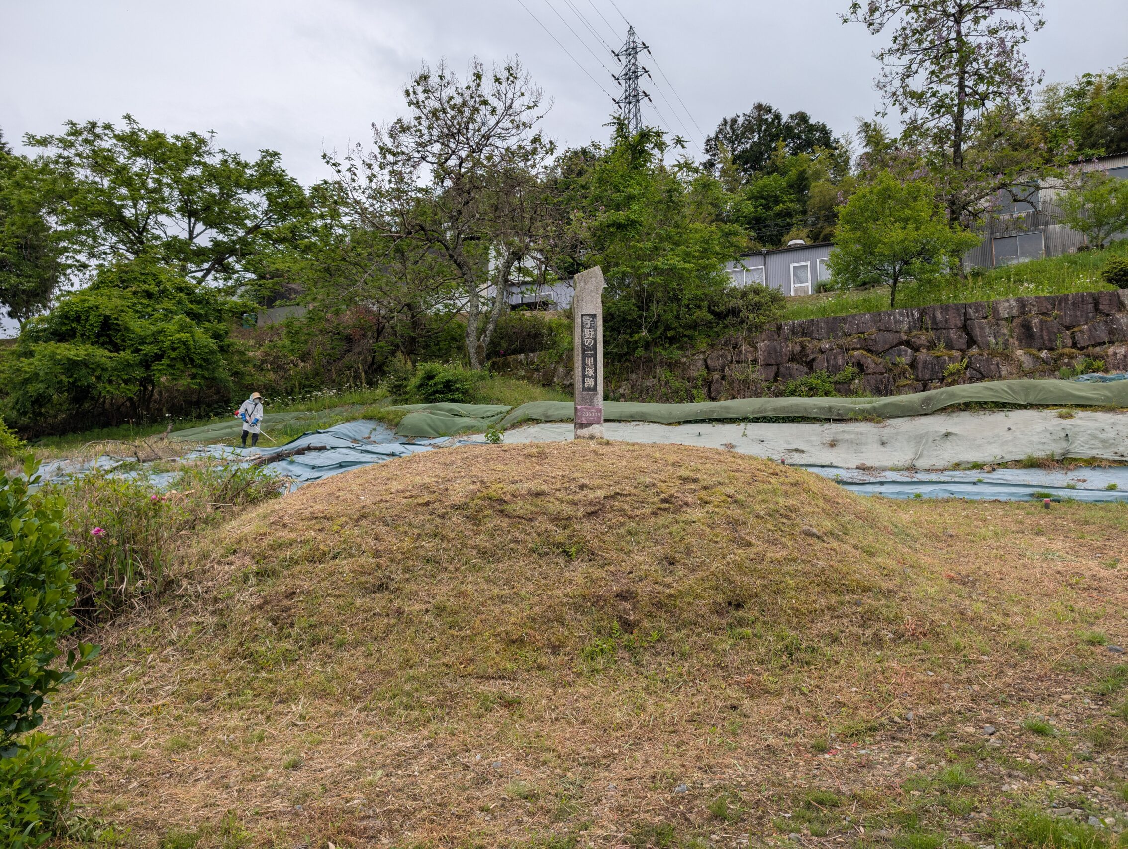
Kono ichirizuka
As soon as I exited the Kiso valley, the milestones started having mounds again. I was even standing in the road at the place where the Kono ichirizuka should be, looking for a small stone marker or something, and didn’t notice the mound at all at first…
Kilometres hiked today, mapwise: 21.4 km
According to app: 21.8 km.
They were strangely in accordance today…


Leave a Reply