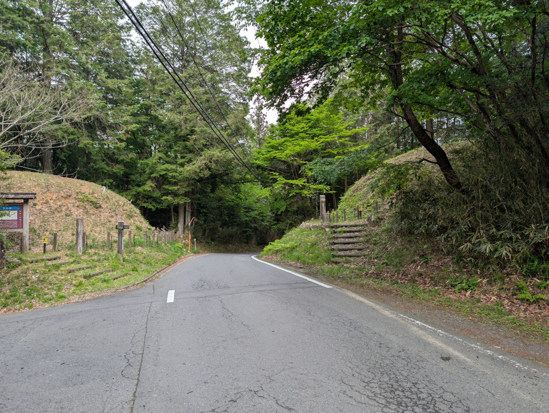
The hike of the day started in Ōi-juku, and ventured into the wilderness of the Jūsan toge, the thirteen mountain passes before arriving in the tiny village of Ōkute-juku. After a short pit-stop, the I crossed the second wilderness of the day: the Biwa pass. This pass didn’t turn out to be too bloody from a steepness or vertical height perspective. However, since the whole pass had old cobblestones, ishidatami, it was still a bit tricky to navigate. Finally the path followed a small country road for the last four kilometres or so before arriving in Hosokute-juku which was my end-point for the night.
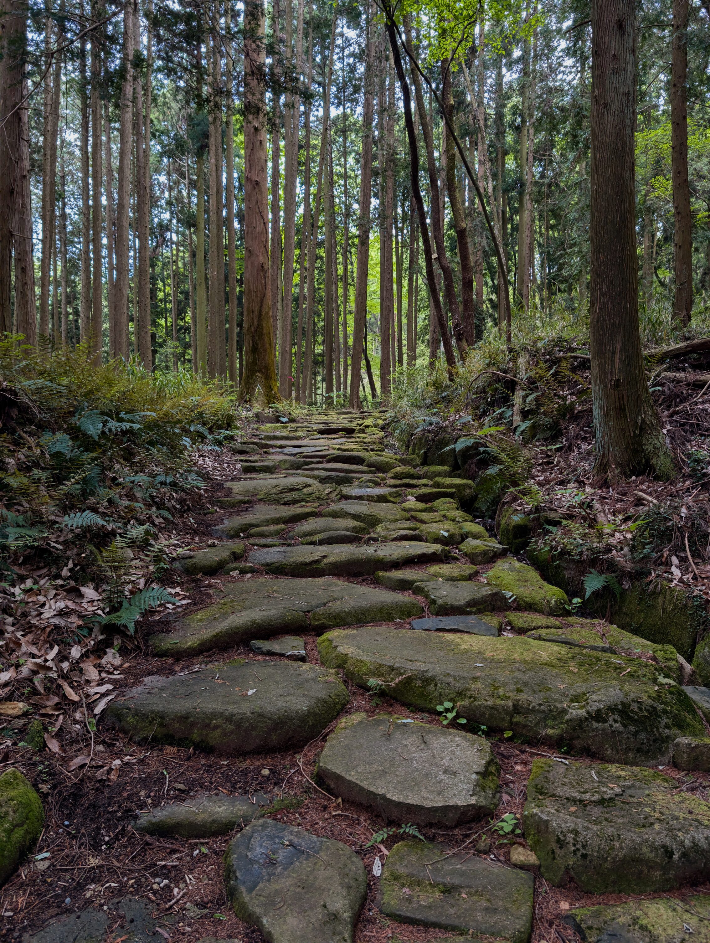
There are a couple of distinguishing features of these legs of the path. One of them is that there are a long stretches of still existing ishidatami, cobblestones, especially as mentioned around the the Biwa pass.
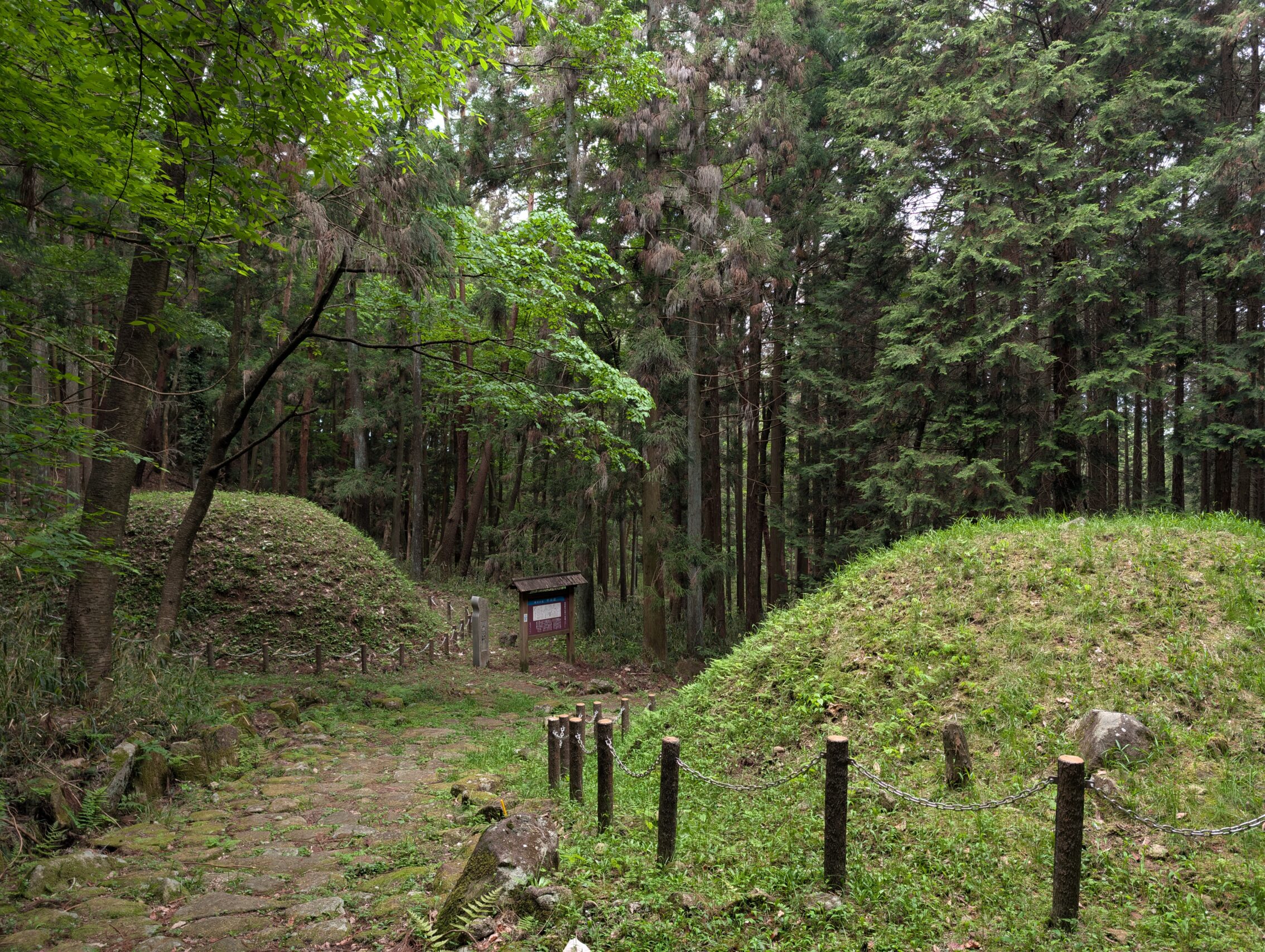
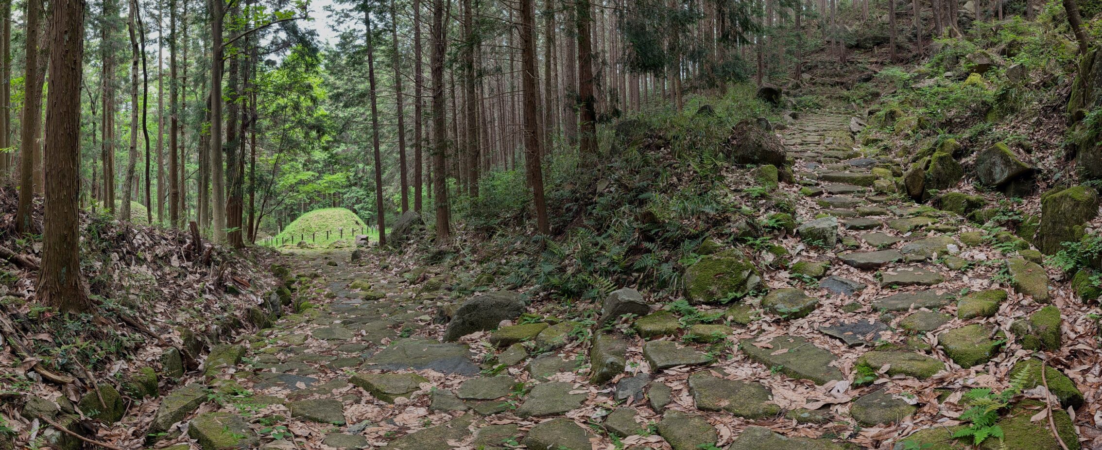
The second is that the milestones of this part of the Nakasendō are mostly completely intact. There are six milestones in a row that have both their original mounds left basically untouched. The last one is actually on the agenda to walk past on the next day, but I passed five of them this day!
Here’s a combo-picture with both a lot of ishidatami and ichirizuka.
I managed to see some cool wildlife today as well. Mostly smaller stuff like insects, but some of them were really beautiful!
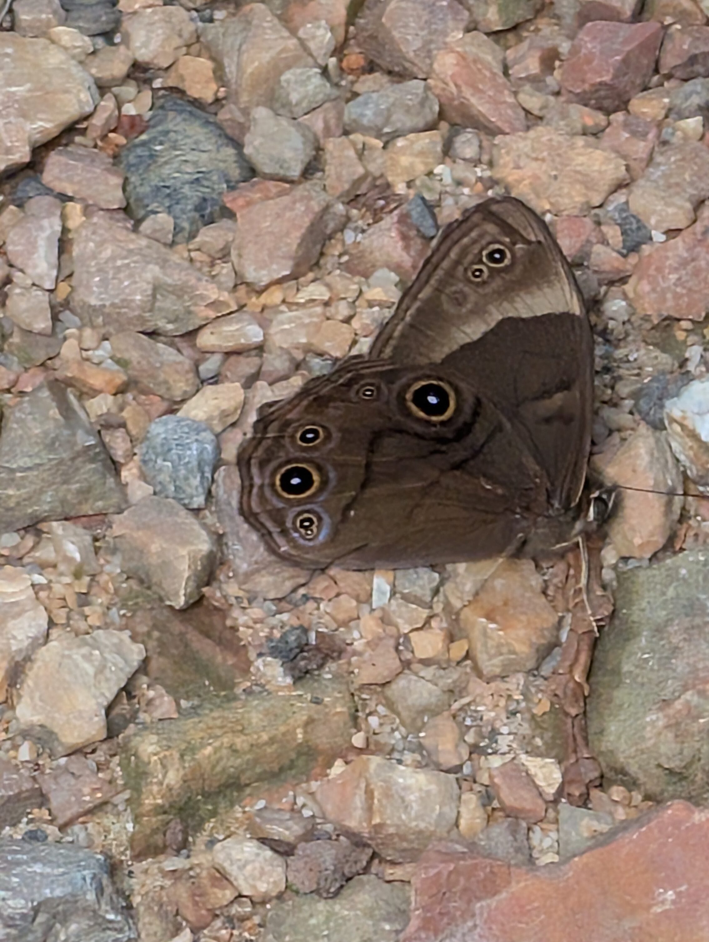
The Lethe diana is a very common butterfly.
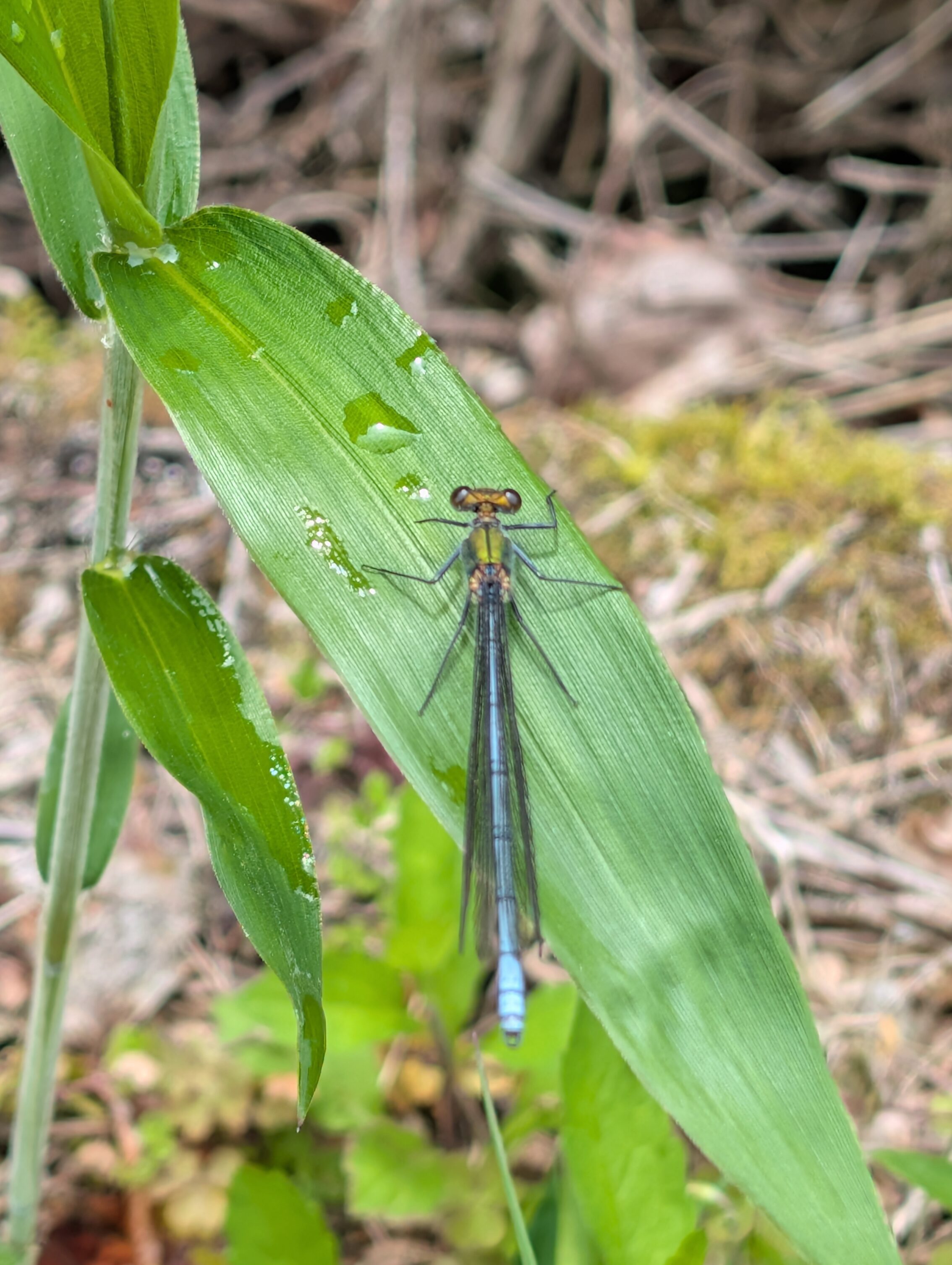
This damselfly doesn’t really have a name in English, just in latin. It’s a bit out of focus, but it still looks pretty cool. And these guys were *fast*.
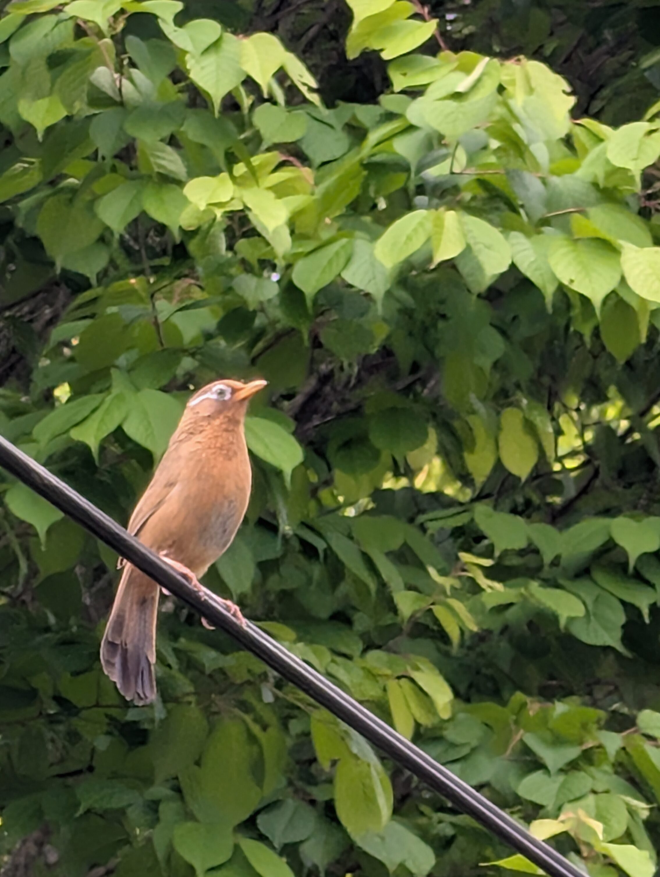
The chinese hwamei gave an appearance again.
I also heard an Oriental Cuckoo! But no pics unfortunately.
When it comes to the thirteen passes it’s really difficult to understand what is what. The path is literally going uphill and downhill all the time for over 10 kilometres, and I tried to count the number of “passes” and, well reached four proper ones or something. That there are supposed to be thirteen seems like a stretch.
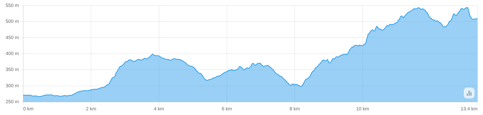
The elevation graph of the path. In this picture, I go from the left to the right, ie, Ōi-juku is at the 0 km mark and Ōkute-juku is at the 13.4 km mark. It is a lot more uphill walking than downhill.
In contrast to a lot of the other passes along the Nakasendō there are no nice views to be had along this stretch, not on the thirteen passes, nor on the next leg from Ōkute-juku to Hosokute-juku. There were no impressive vistas of nature and mountains in the distance and so on. The top of the Biwa pass for instance is deep in the forest, and you can’t see anything but trees in all directions.
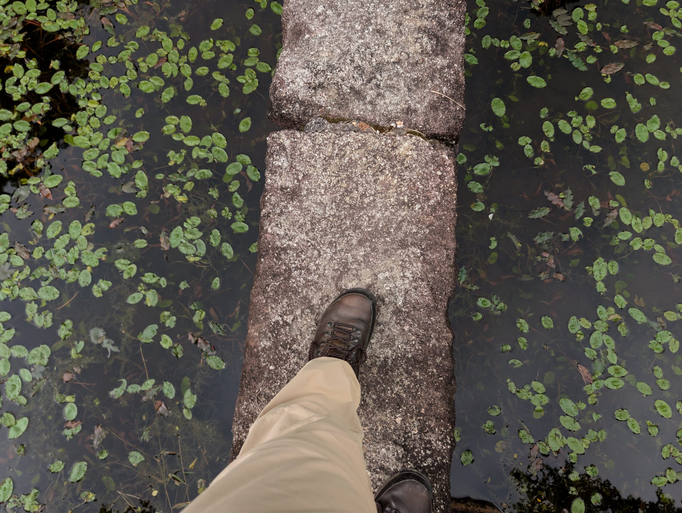
Towards the end, near Hosokute-juku, the Nakasendō passes by the Benzaiten pond though, which is a rather magical place!
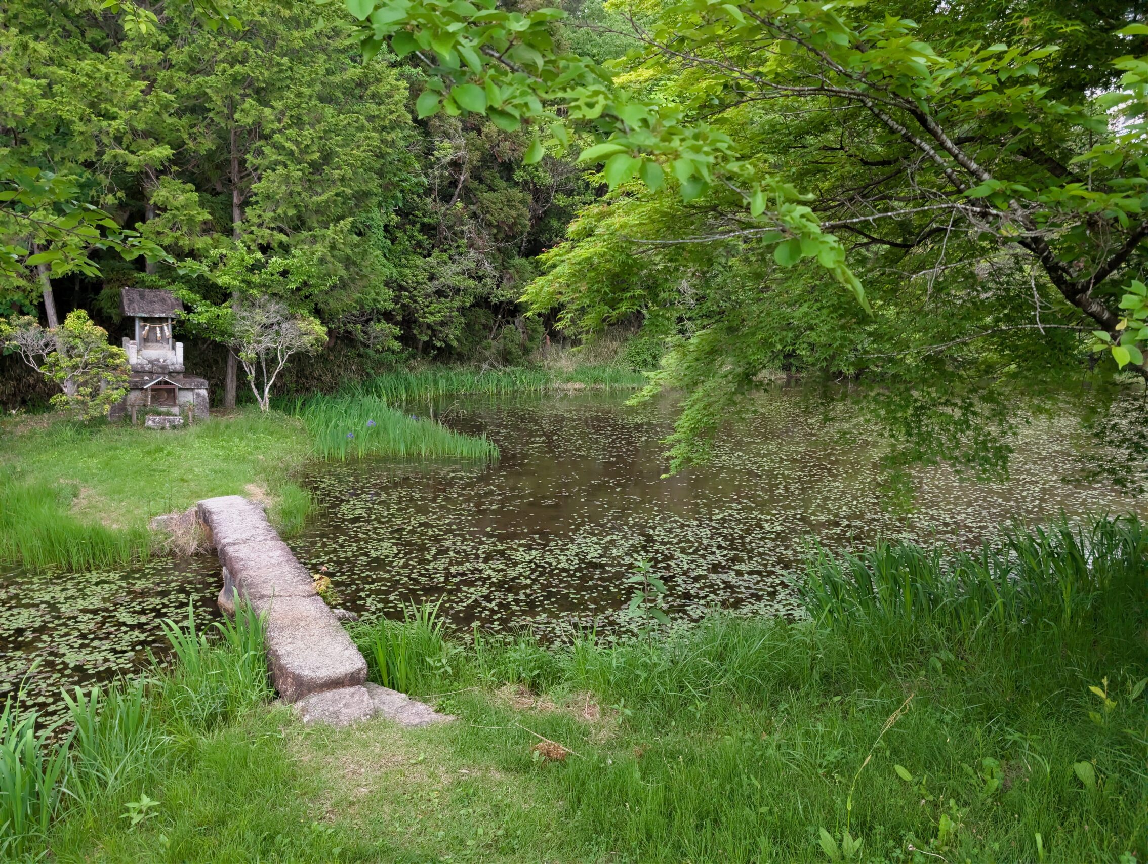
Did I have to cross the bridge? Of course! Had I learned my lesson from earlier in the hike about not taking my backpack when traipsing off the path on dangerous side quests? Actually, when you put it like that, I do believe that I am pretty smart, but yeah. No.
Milestones passed today.
The Makigane ichirizuka, the first of six ichirizuka in this area that has both mounds completely intact.
The Benizaka ichirizuka is the second, and you can see it in the featured picture at the top.
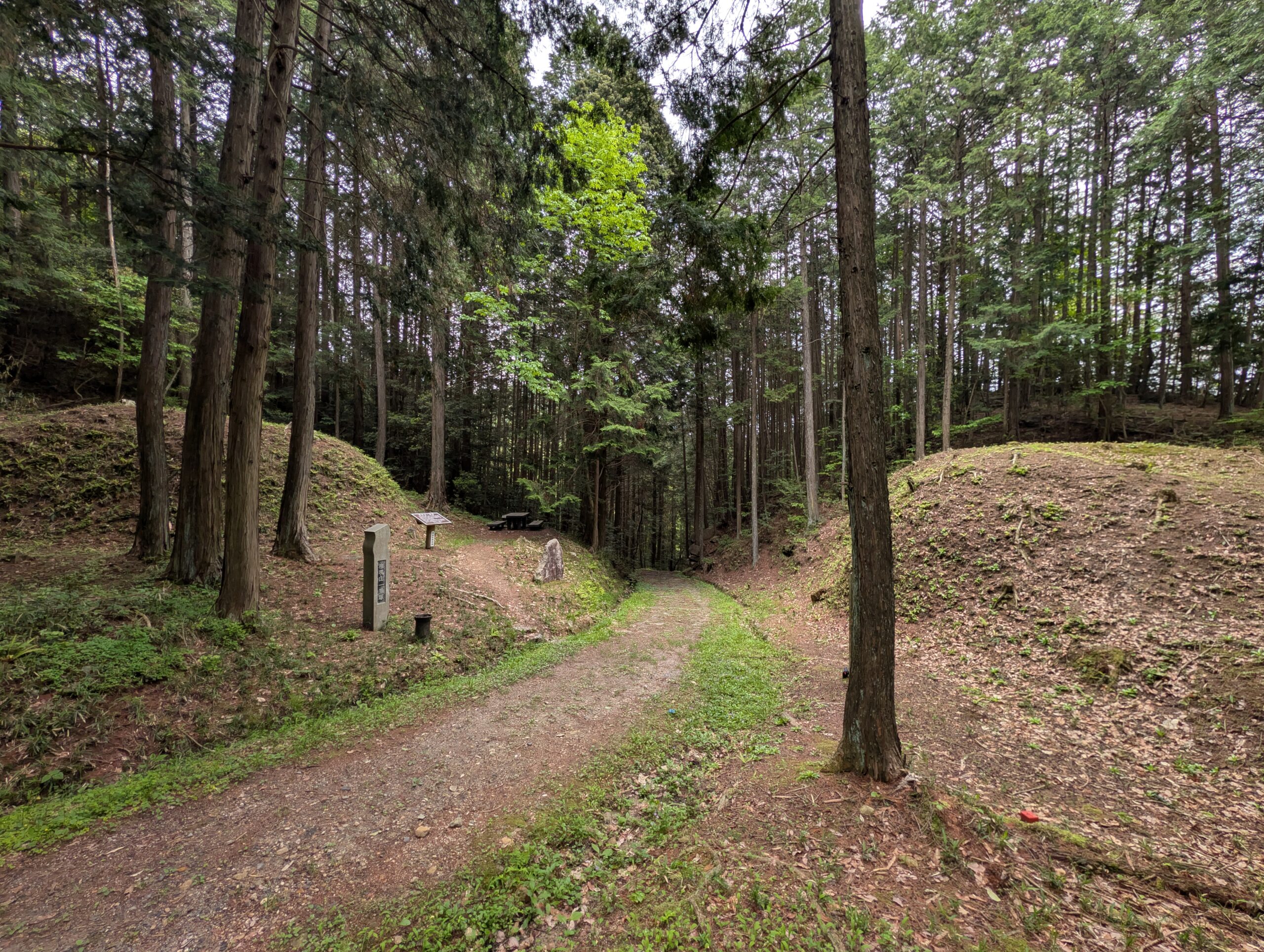
The Gongen-yama ichirizuka is the… you guessed it, the third completely intact milestone!
The Yasezawa ichirizuka: number four. Also, see pictures of it above.
The Okunuda ichirizuka is the fifth, and the last for this day.
In Hosokute-juku I stayed at the Daikokuya ryokan, which has been an inn continuously since the 17th century, at the beginning of the Edo period. The house itself is an official Registered Tangible Cultural Property of Japan, and parts of the structure are original even if it did get a lot of extensions in the mid 1800s.
Kilometres hiked according to map: 19.9
Kilometres hiked according to app: 20.9


Leave a Reply