Because of laziness or maybe boredom I didn’t post yesterday. Most of the hiking yesterday was along rather featureless highways and country roads. So I decided to merge yesterday with today! Yay! Double the info for half the price!
The Kiso Three Rivers is another name for the northern parts of the Nōbi plains where you for instance can find Nagoya in the south. The Nakasendō traverses this region nearer the mountains in the north, in contrast to the Tōkaidō which follows the coast line in the south. I’ve written before about how the Nakasendō is steeper, longer, and generally more mountainous than the Tōkaidō, but that people of the Edo period still sometimes preferred that route. The reason for this were the rivers. Where the travellers on the Nakasendō absolutely had to contend with some mighty difficult river crossings, that was child’s play in comparison to what travellers along the Tōkaidō had to overcome. For each river that was wide and dangerous on the Nakasendō, they had usually increased in both size and propensity for flooding when Tōkaidō travellers had to cross them.
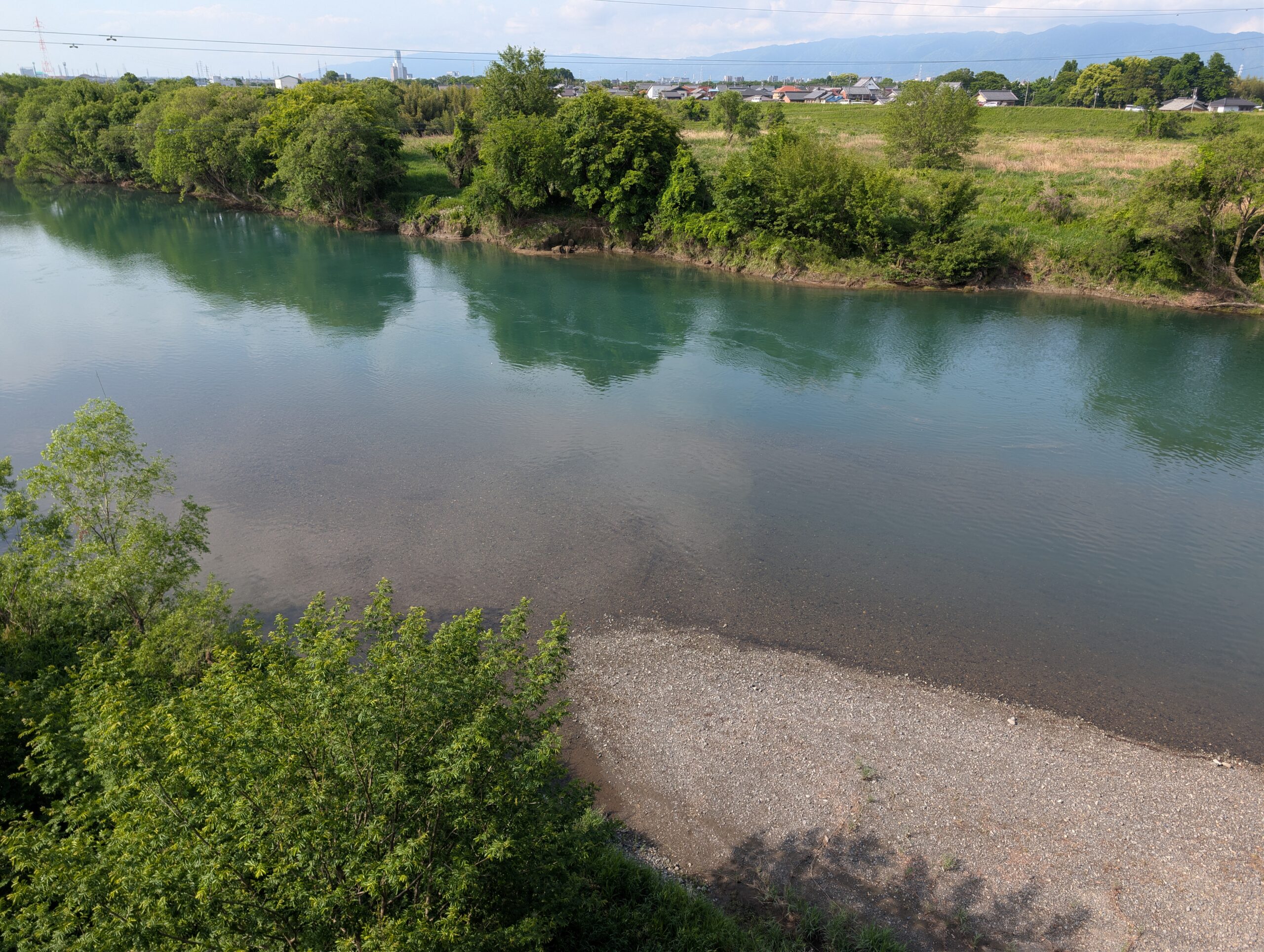
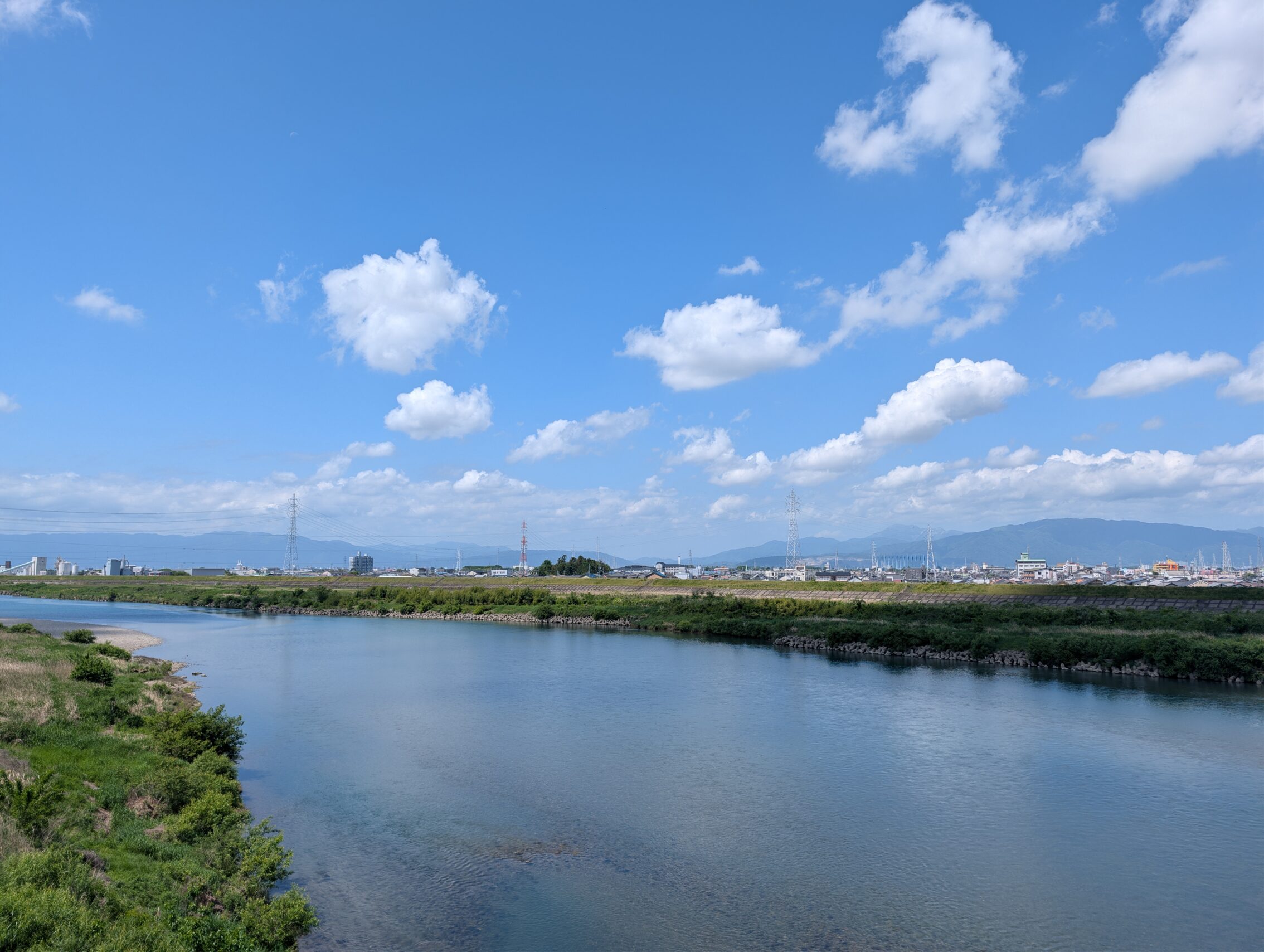
The three eponymous rivers of this area are the Kiso, the Nagara, and the Ibi. I conquered the Kiso river a few days ago, and ahead are the other two large rivers on this stretch. The featured photo up at the top of this post is of the Ibi river.
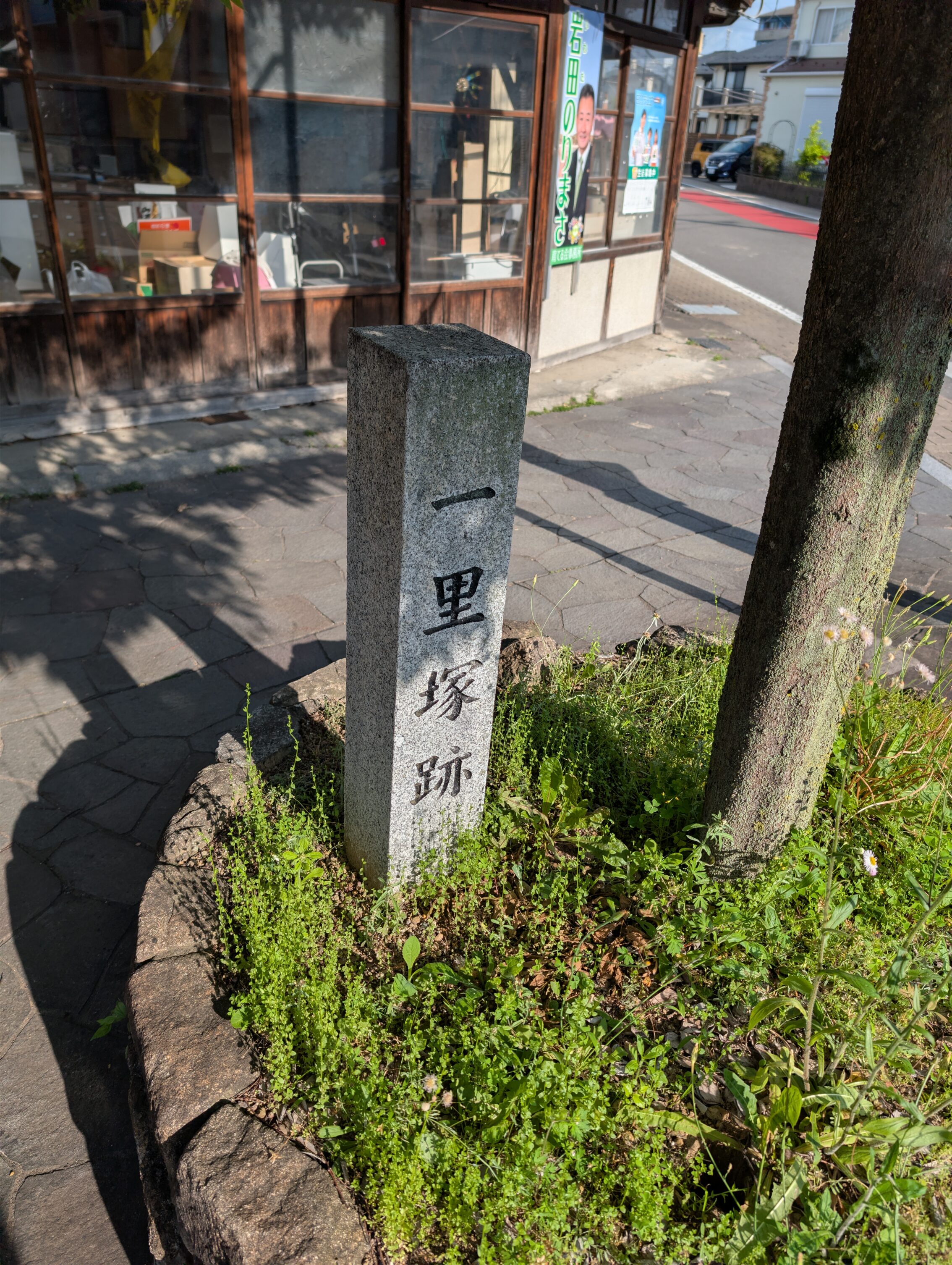
I didn’t actually start in Unuma-juku yesterday but rather about 7 kilometres in on the next leg towards Kanō-juku. That leg, however, is a whopping seventeen straight kilometres going west, mostly across the Kakamigahara plateau. Pretty quickly I came to what used to be a small hamlte, Shinkanō, which served as an ai-no-shuku, that is an unofficial post town along the Nakasendō. The distance between Unuma-juku and Kanō-juku was long enough that people needed food, a short rest, and maybe a change of horses and so on. There isn’t much left of the original Shinkanō, but there was a milestone there as well, and the local authorities have remade both of the mounds, and planted trees on them!
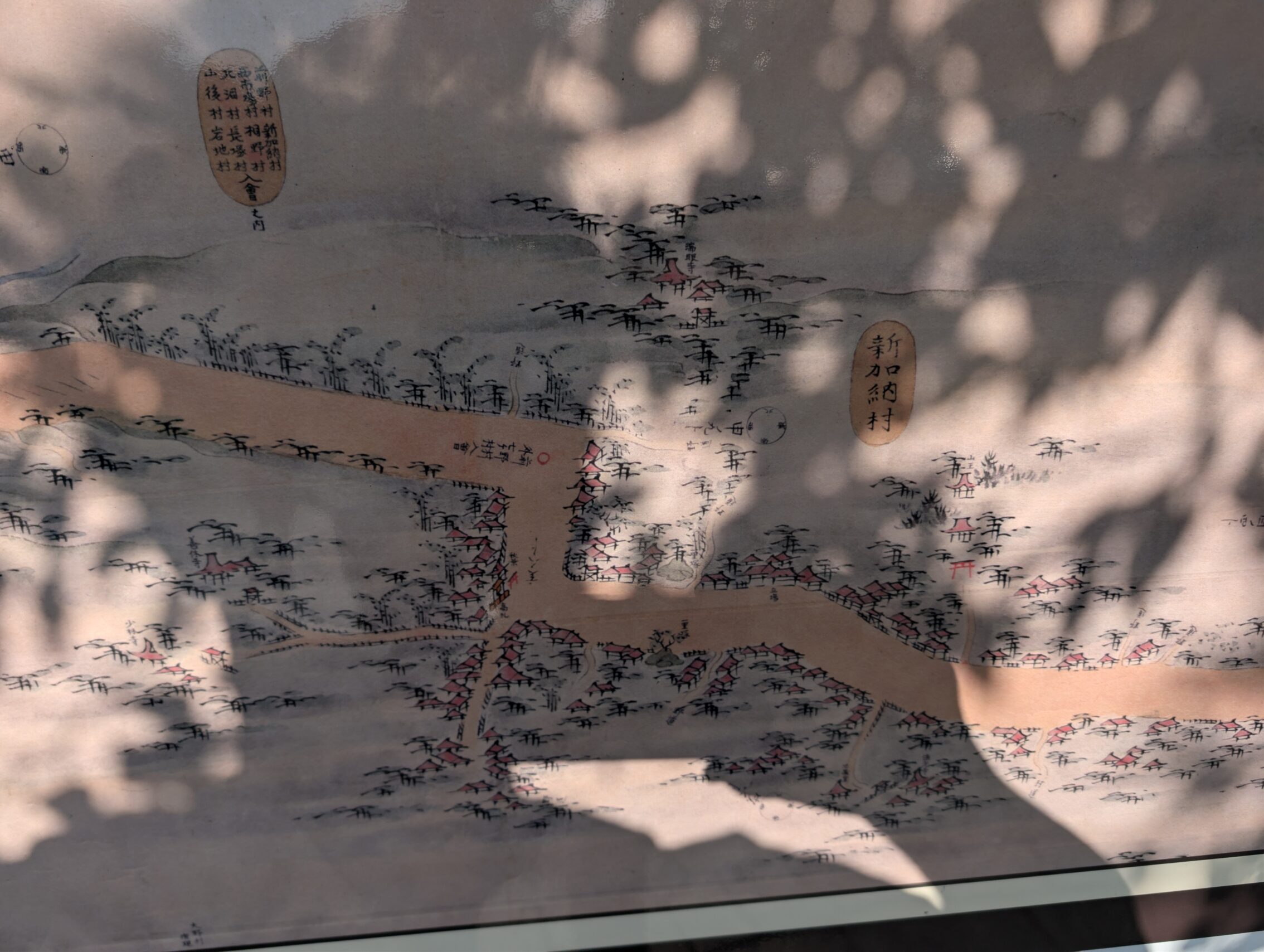
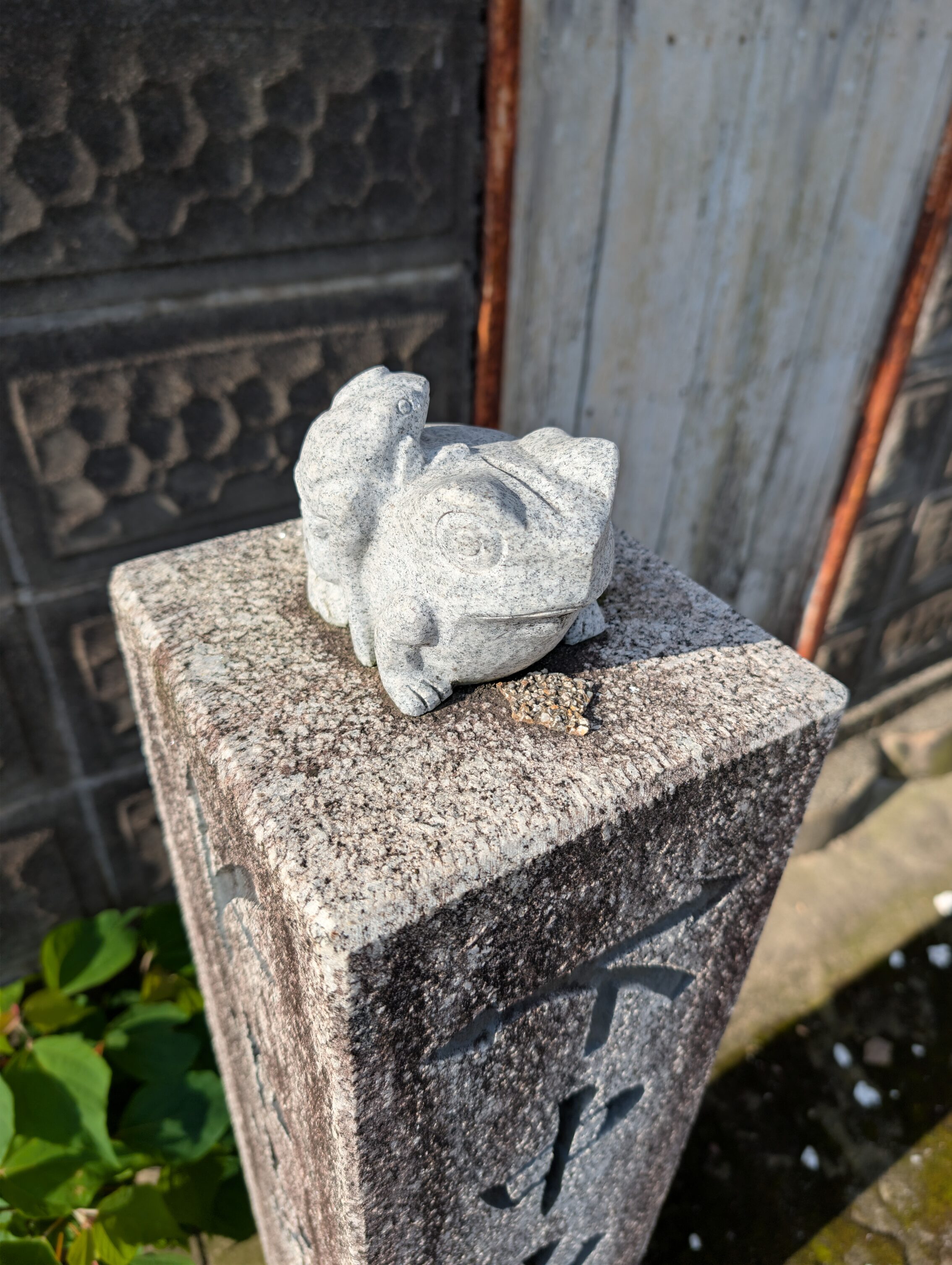
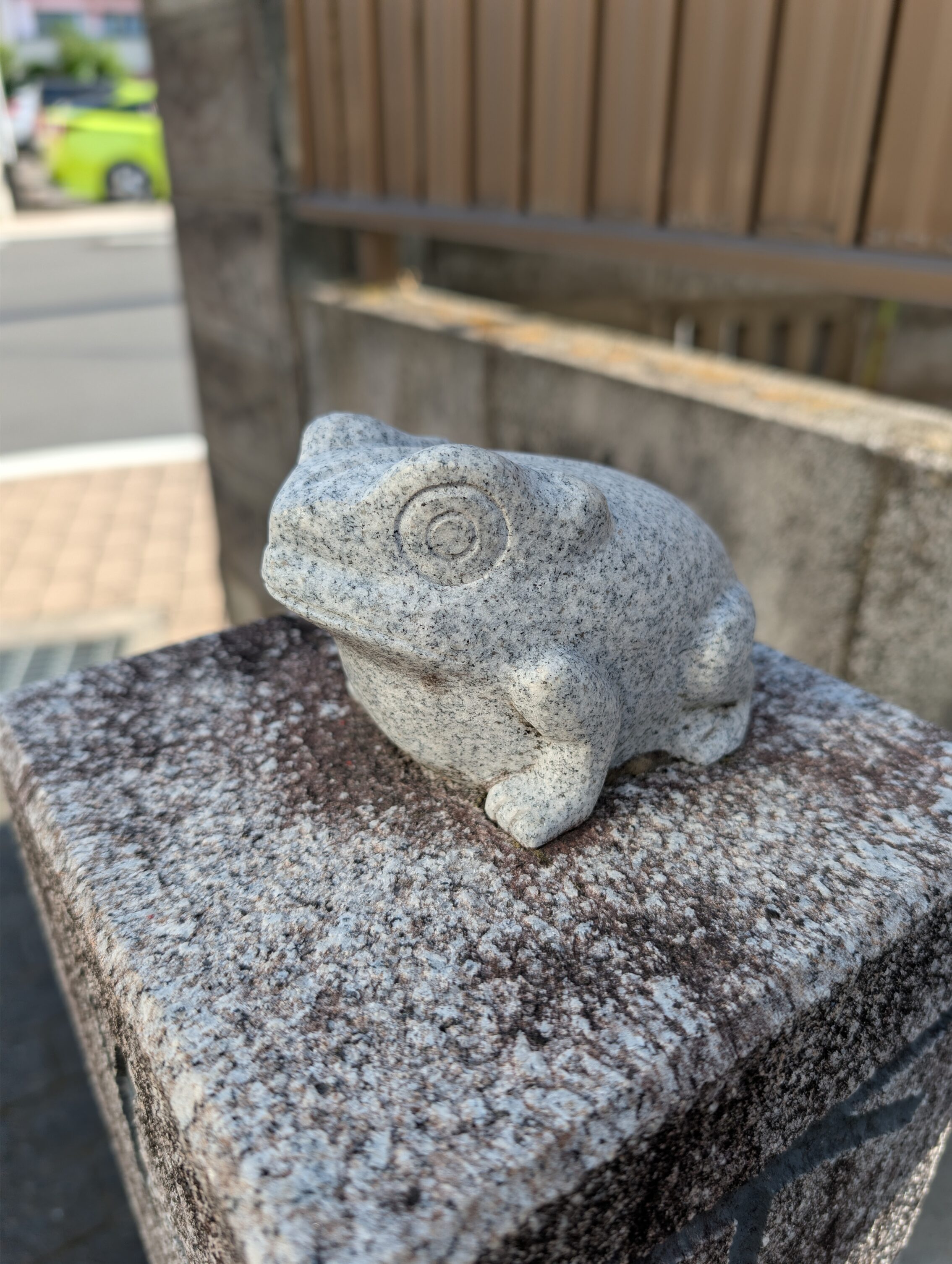
On the old map above you can also see a red Torii gate north of the road a bit east of the milestones. This is the Hiyoshi Shrine, which was founded approximately <loads of years ago> when people were praying for rain for better harvests, and a frog helped them out. Since then, most of everything is a bit frog-themed in this area. Especially the temple itself, but a lot of other things as well.
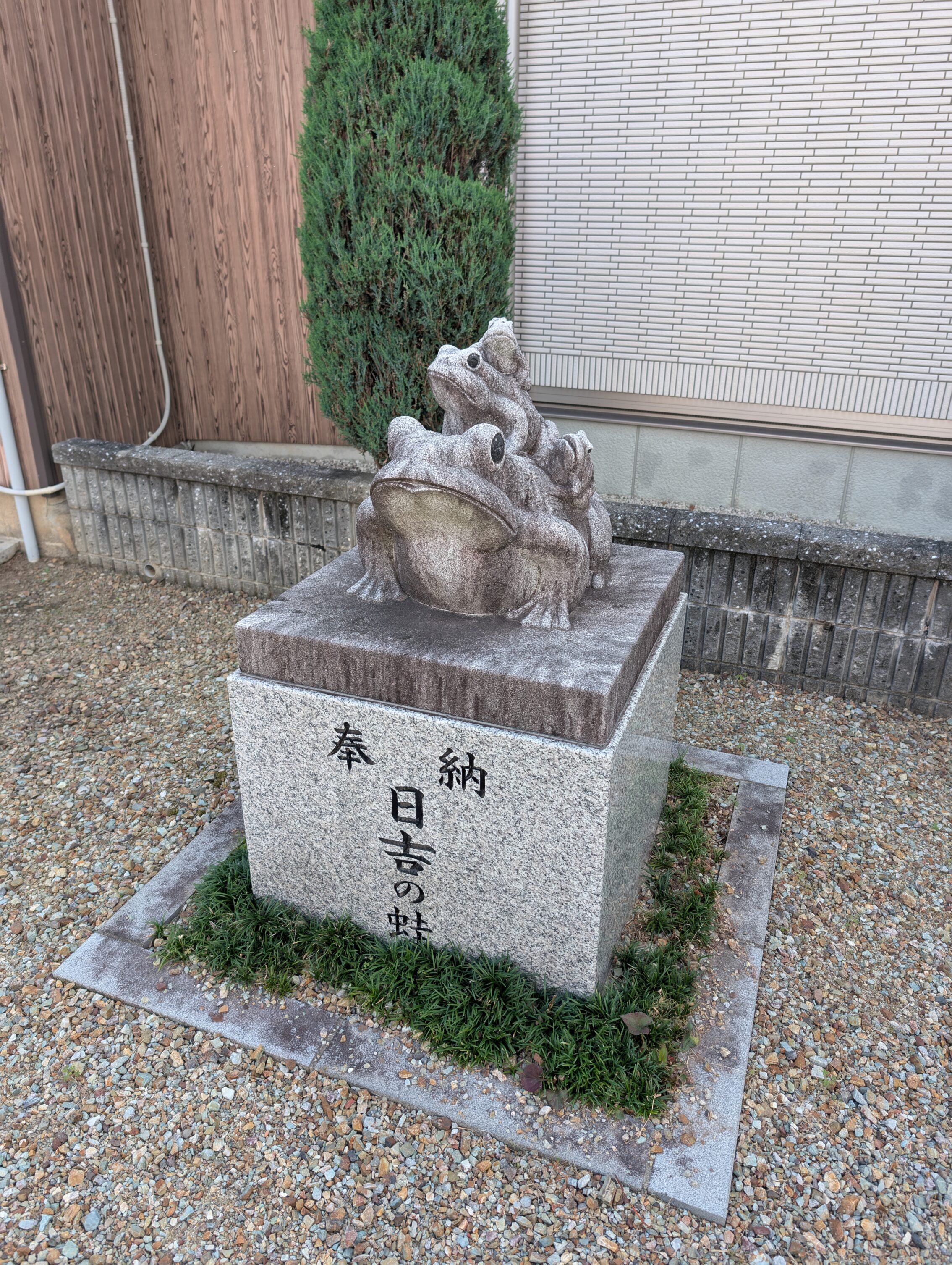
There are more frogs about, even on the Nakasendō waymarkers.
Quote from the movie “Hell comes to Frog Town”. Anyone else seen that?
It doesn’t stop there.
– Fry, from Futurama, talking about HYPNO TOAD.
Moving on.
Kanō-juku itself also has some wonderful masugata, and there are some rivers criss-crossing the town.
Later on, the Nakasendō crossed the Nagara river before reaching Gōdo-juku.
From there I hiked into Mieji-juku before I called it a day. The landscape is flat in this area, and there isn’t much to see unfortunately.
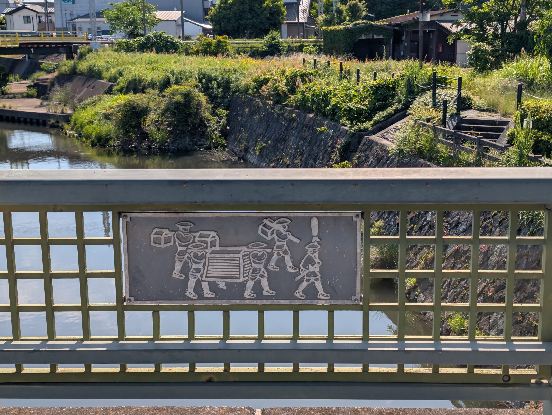
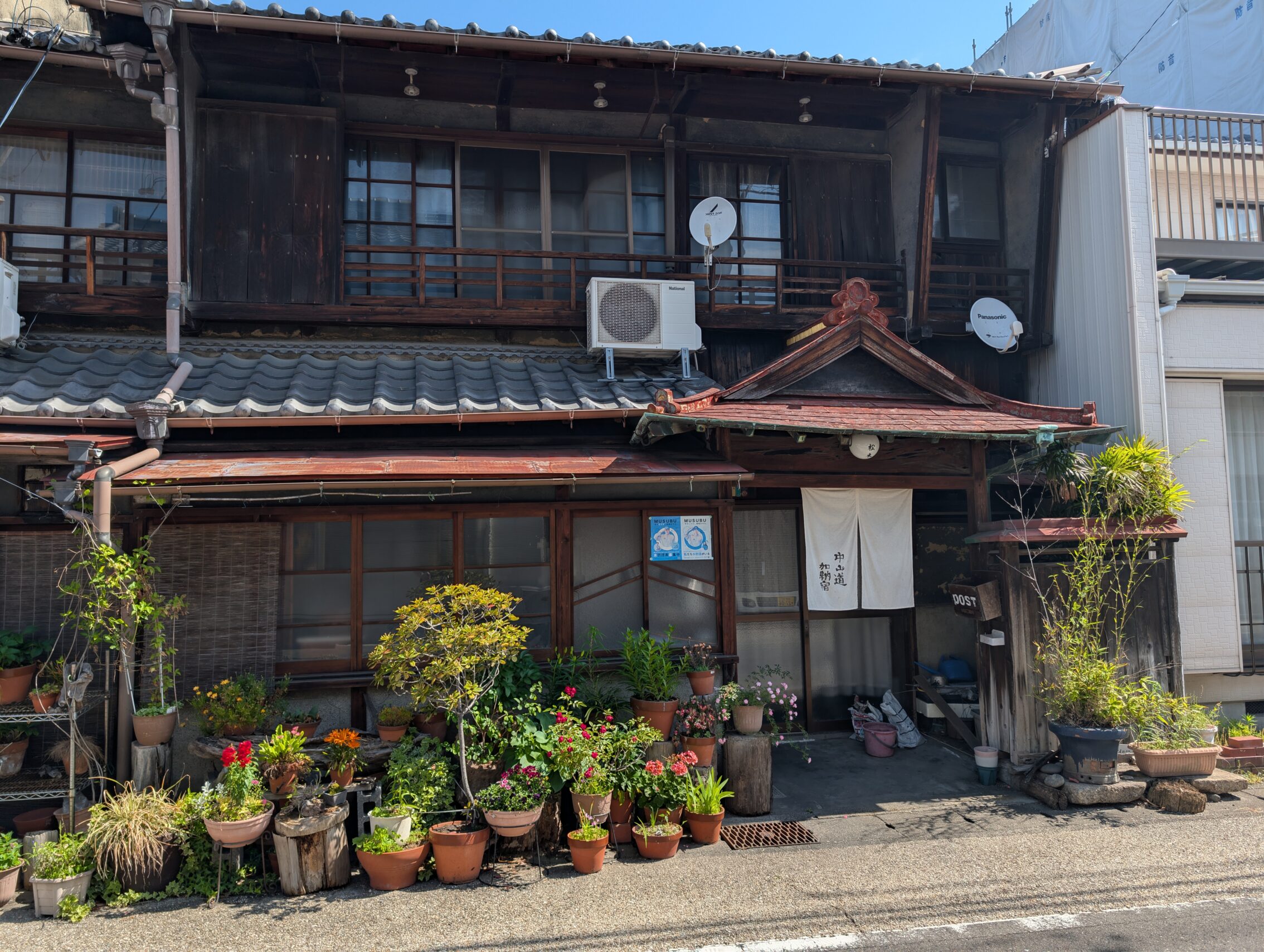
I started again in Meiji-juku today, and headed towards Akasaka-juku. Generally when hiking along Nakasendō in this area, the path crosses rivers instead of following them as it did on the Kantō plain north of Tokyo. Between Mieji-juku and Asakasa-juku the Nakasendō had to cross at least eight larger waterways, including the Ibi river. Akasaka-juku survived and prospered even after the demise of the Nakasendō as an important road because it was a place for shipping. At the turn of the last century, it is estimated that during the peak season, more than 500 ships a day stopped in the town.
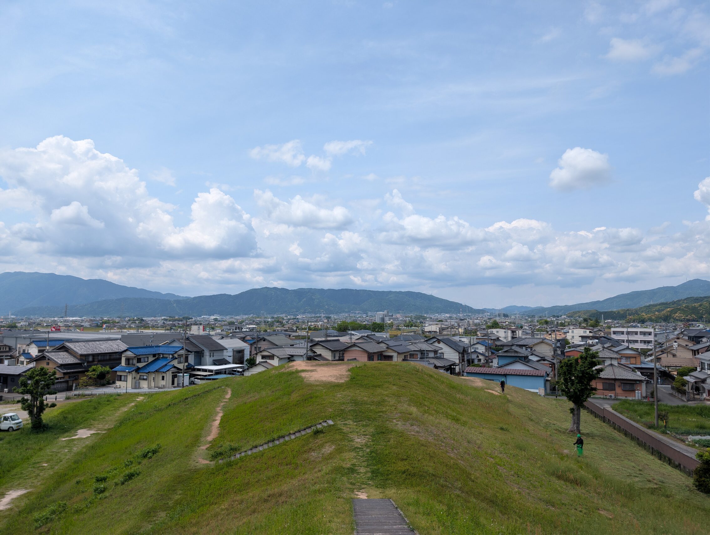
Outside of Akasaka-juku there is the Hirui Otsuka Kofun. Kofun were burial mounds in various shapes that were made from around the year 250 current reckoning, and for about 350 years. This one is keyhole-shaped and was made in maybe around 500. It used to contain three graves, two of which hadn’t been plundered. The view from the top was rather spectacular!
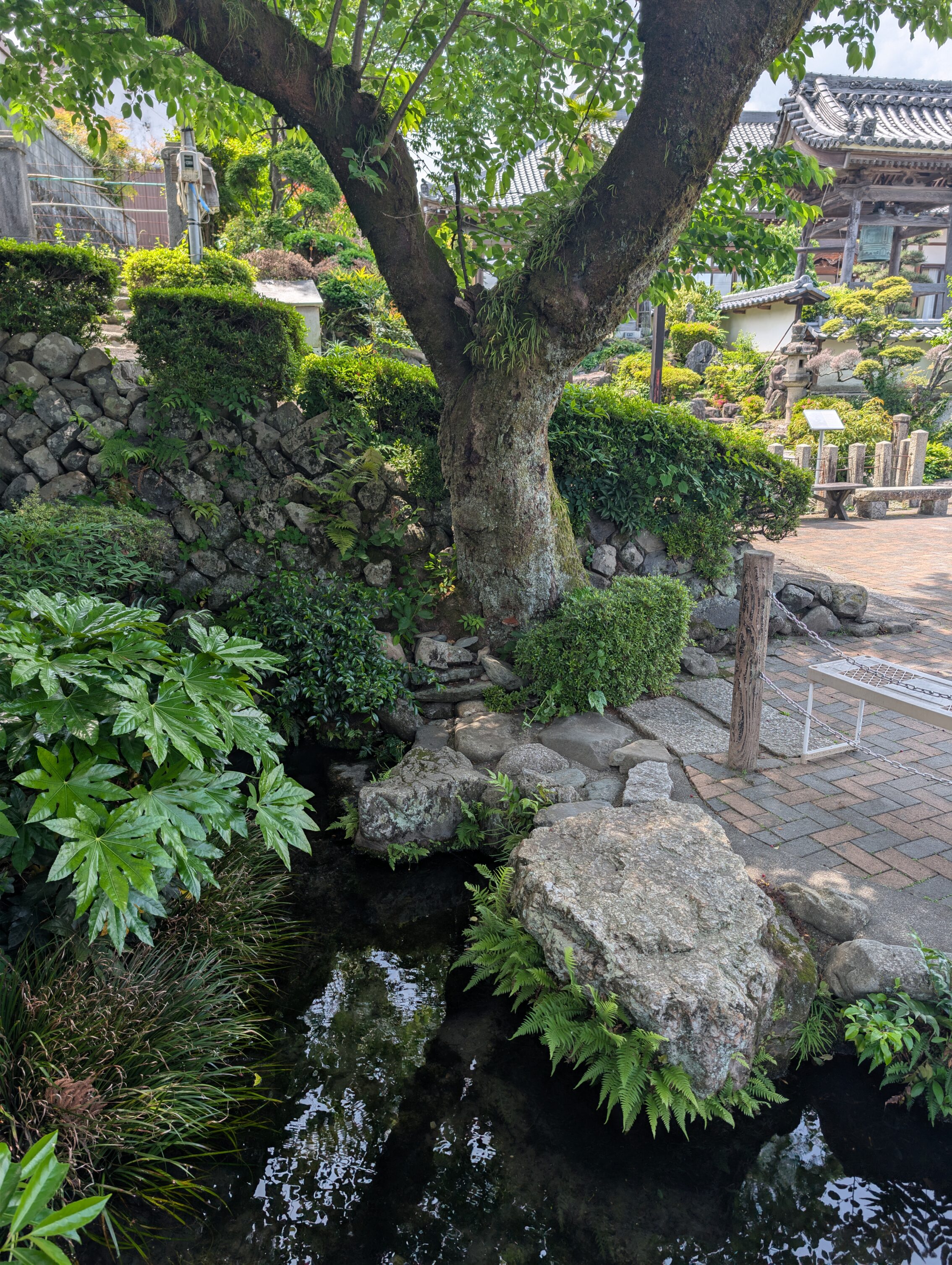
Tarui-juku which is the next stop along the path hasn’t got many things left from the Edo period, but it does have a small temple just south of the path that has a spring that has been there <since before the written word>. The spring used to have a companion tree, an ancient zelkova, but unfortunately that died in 2015. There are still trees there, but not as old.
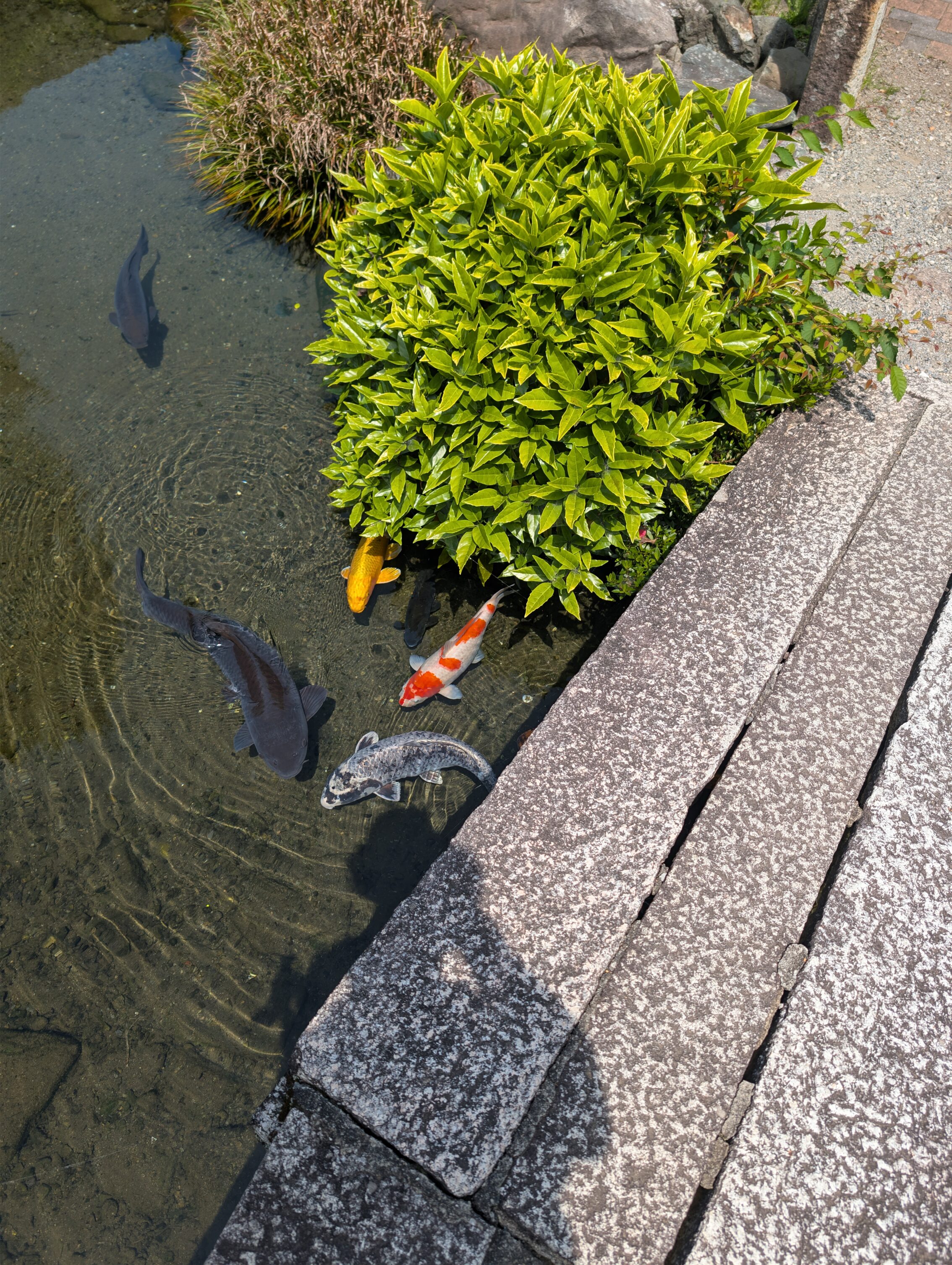
Another part of the pool complex housed a lot of beautiful koi!
Tarui-juku has also been immortalised by none other than the famous poet Matsuo Bashō who stayed there in 1691, but he wrote about how cold the weather was… “The cold is so intense, the leeks have been washed white.”
A bit further ahead was Sekigahara-juku, which is one of the most famous places in Japanese history. On October 21, 1600, there was a decisive battle here between the forces of Tokugawa Ieyasu and a coalition of lords loyal to the Toyotomi clan. Reports vary, as is usual for things that happened a long time ago, but estimates place the number of casualties for this single day of combat to over 35 000 warriors. Most of the battlefields are west of the Sekigahara-juku, so I’ll write more about this in the next post.
Milestones passed these two days.
The Shinkano ichirizuka
Hosobata ichirizuka
Matsubara ichirizuka
Kawado ichirizuka
Mieji ichirizuka
Yanagase ichirizuka
Ikejiri ichirizuka
Aono ichirizuka
Tarui ichirizuka
Sekigahara ichirizuka
Some of them, like the Tarui ichirizuka which is just to the west of the post station is in wonderful shape with large mounds and so on, while others like the Sekigahara ichirizuka doesn’t even have a single stone marker or information board.
What the maps say over these two days: 44.3 km
What the app says: 54.0 km, but this includes a lot of off-path walking as well.


Leave a Reply