The path continues in more or less a straight line heading southwest, a half a dozen or so kilometres from the shores of lake Biwa. The terrain is just about completely flat with the odd riverbank that gives the path a bit of elevation, but nothing more than that. The path also runs sort of parallel to the Tōkaidō Shinkansen railway lines, and crosses it a couple of times. It is a harbinger of when the Nakasendō merges with the Tōkaidō at Kusatsu-juku, which I’ll reach tomorrow.
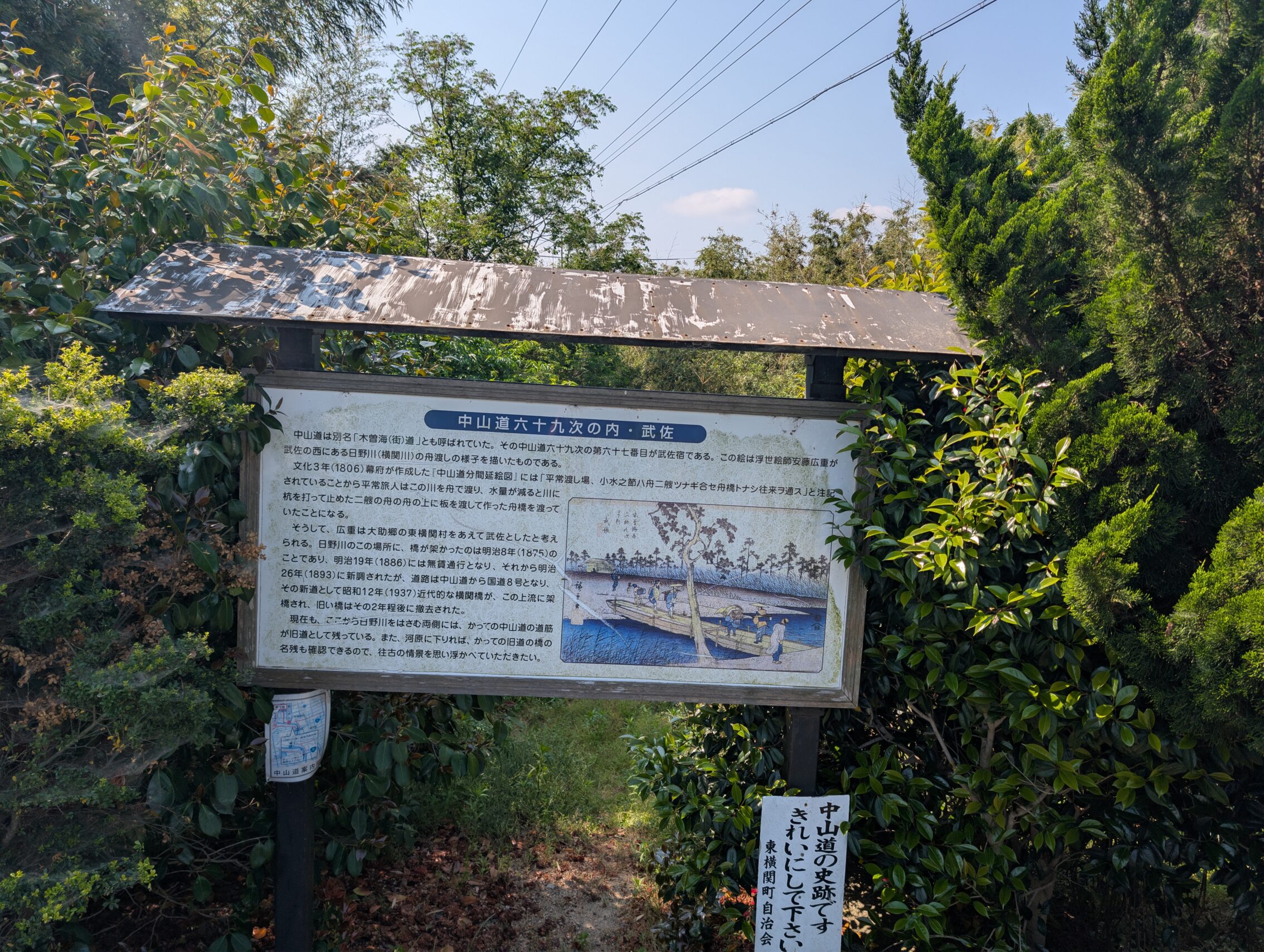
The path today though was a sometimes peaceful hike through quiet suburbs that bordered on rural, with small roads winding past villages and sometimes rice paddies, and at times it was a hectic struggle for sanity among oncoming cars and screeching lorries. Musa-juku had some interesting buildings, a lot of signs, and a wild story about an elephant passing through the town in 1728. Apparently somebody wanted to give it as a gift to the Shōgun, or maybe the emperor (I’m not entirely sure), who refused, and the animal was toured around the countryside until it was killed and eaten. (This last bit is just my conjecture. Don’t base your thesis on this.) Anyway, this story matches the one from Fushimi-juku where a camel was supposed to have come through the town about a 100 years later. Weird.
Anyway, I started out early as usual, and took the train to the starting point for the day.
The signs along the way between Echigawa-juku and Musa-juku were sometimes plentiful and sometimes missing completely. And even when there was a lot of them, they seldom actually helped me chose the way at junctures and forks in the road etc. I think it’s kind of weird that the authorities take a lot of time and effort to put up signs for hikers, only for the signs to be only marginally useful.
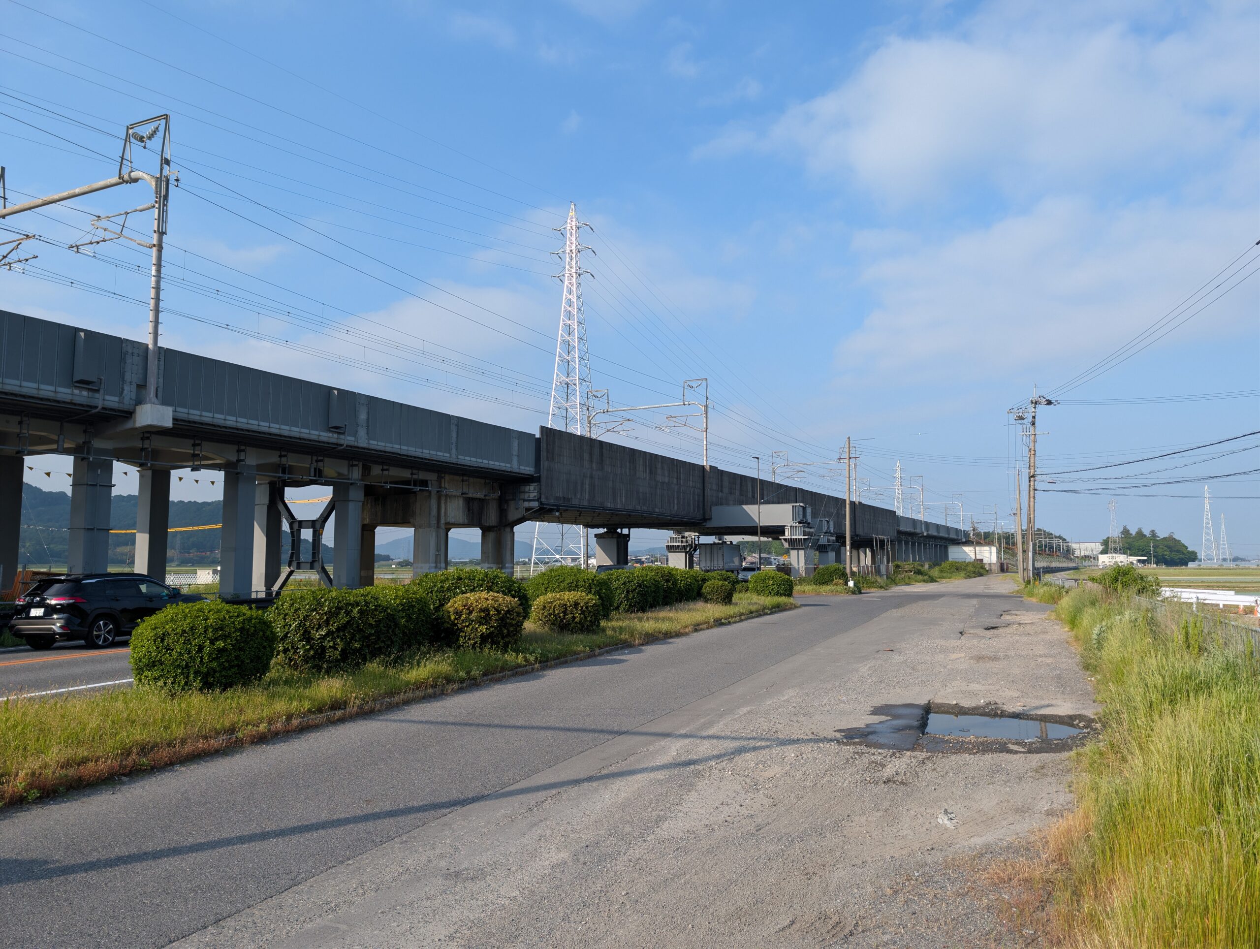
Oh well, the path was mostly in a straight line, and most of the deviations from this was because of newer roads and stuff like the shinkansen. The featured picture at the top of this post shows what the shinkansen railway track looks like most of the time in this area. It’s a raised bridge where the trains hurtle through the landscape without interfering with other kinds of traffic.
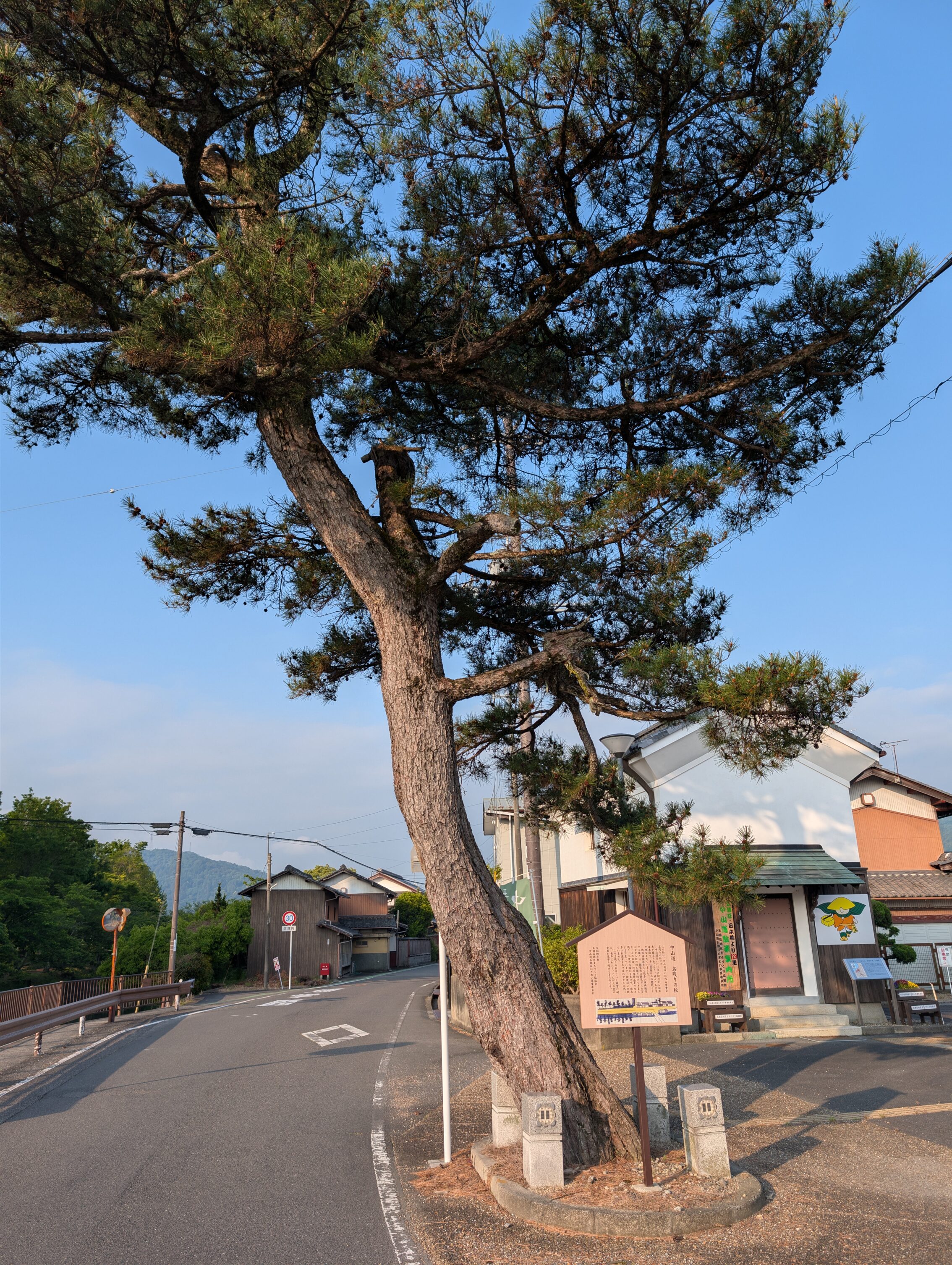
This remnant of a namiki is at the start of the first leg, maybe four kilometres from Echigawa-juku.
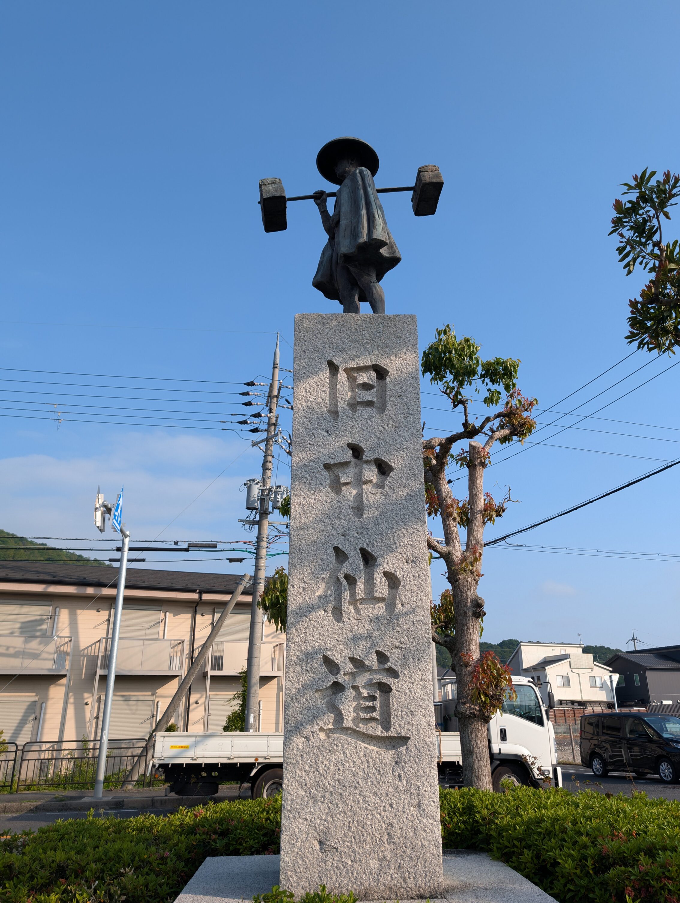
Just as the Nakasendō crosses the National Route 8, there is a huge bronze statue of an Edo period traveller, an Ōmi merchant, along the road. It’s very hard to miss, and I like the fact that it exposes information about the old route to a lot of modern day travellers.
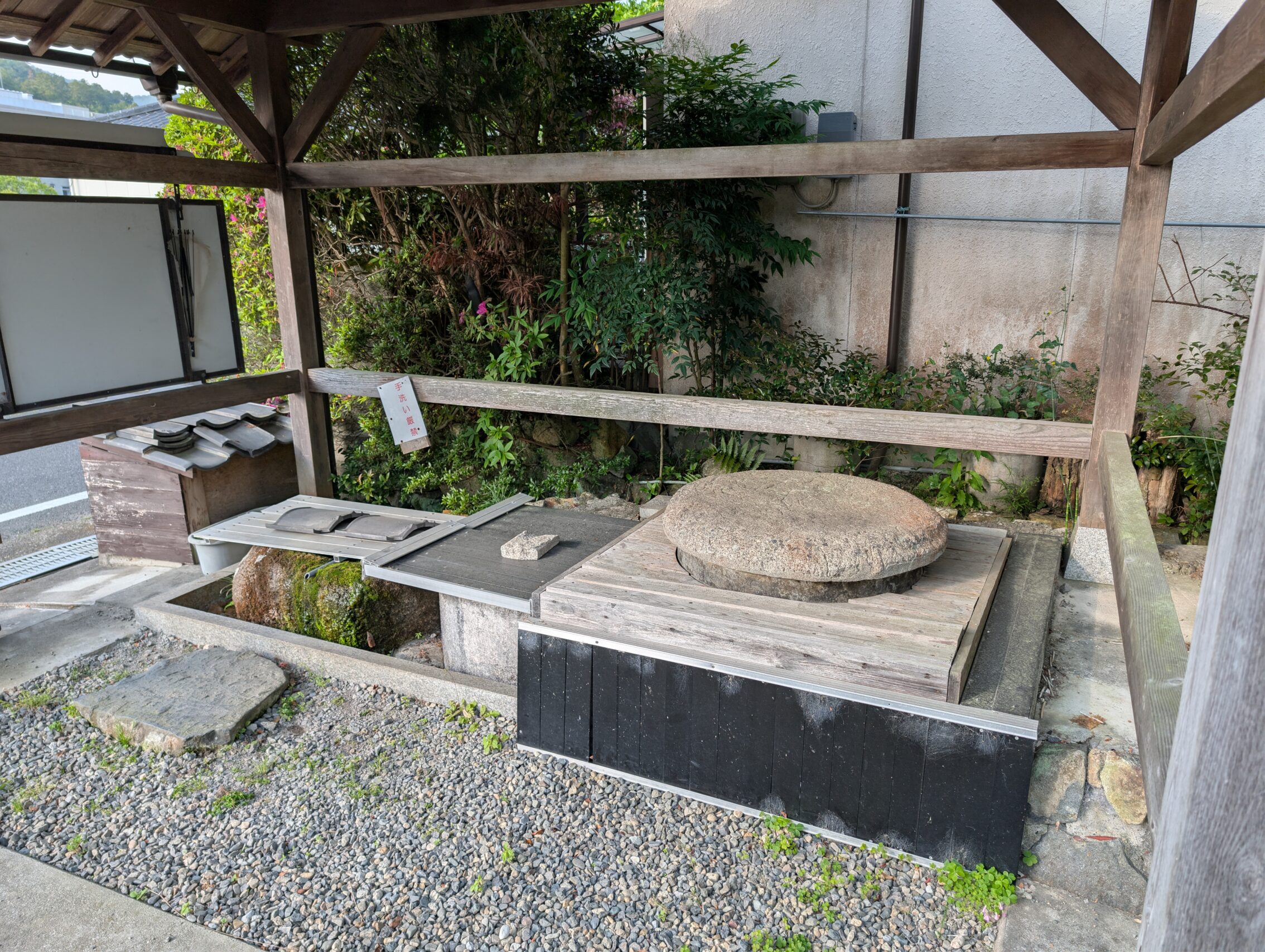
The shimizu spring a bit further along was still in operation. The water from the spring is pouring out of the tiny tube at the left end of the picture, just where the stone is moss green, (because of the… uh… moss). It wasn’t a lot of water, but it was cold!
As I neared Musa-juku I passed this milestone. Even though I knew it was going to be just here, and I knew that it was hard to see the stone marker, I still almost missed it. It is even a greater challenge not to miss if you are hiking from the other direction. There are other stone markers for milestones that have been somewhat hard to see, and there is another one coming up later today that is difficult to see as well, but this, I think, takes the price. A lot of effort has been spent to make this stone marker, and to place it there, and then nothing else. No signs with arrows, no information board, no colours that stick out. Weird.
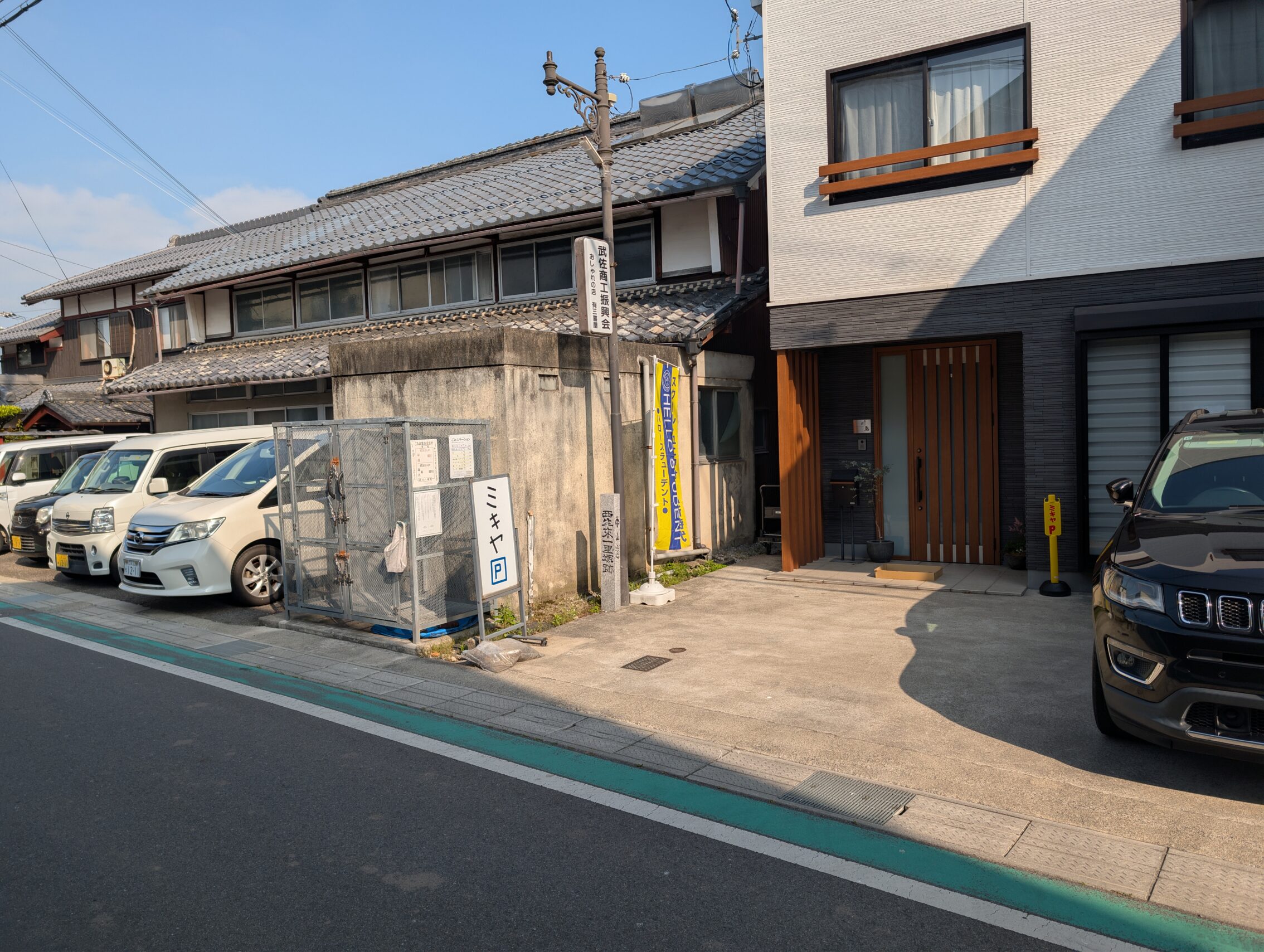
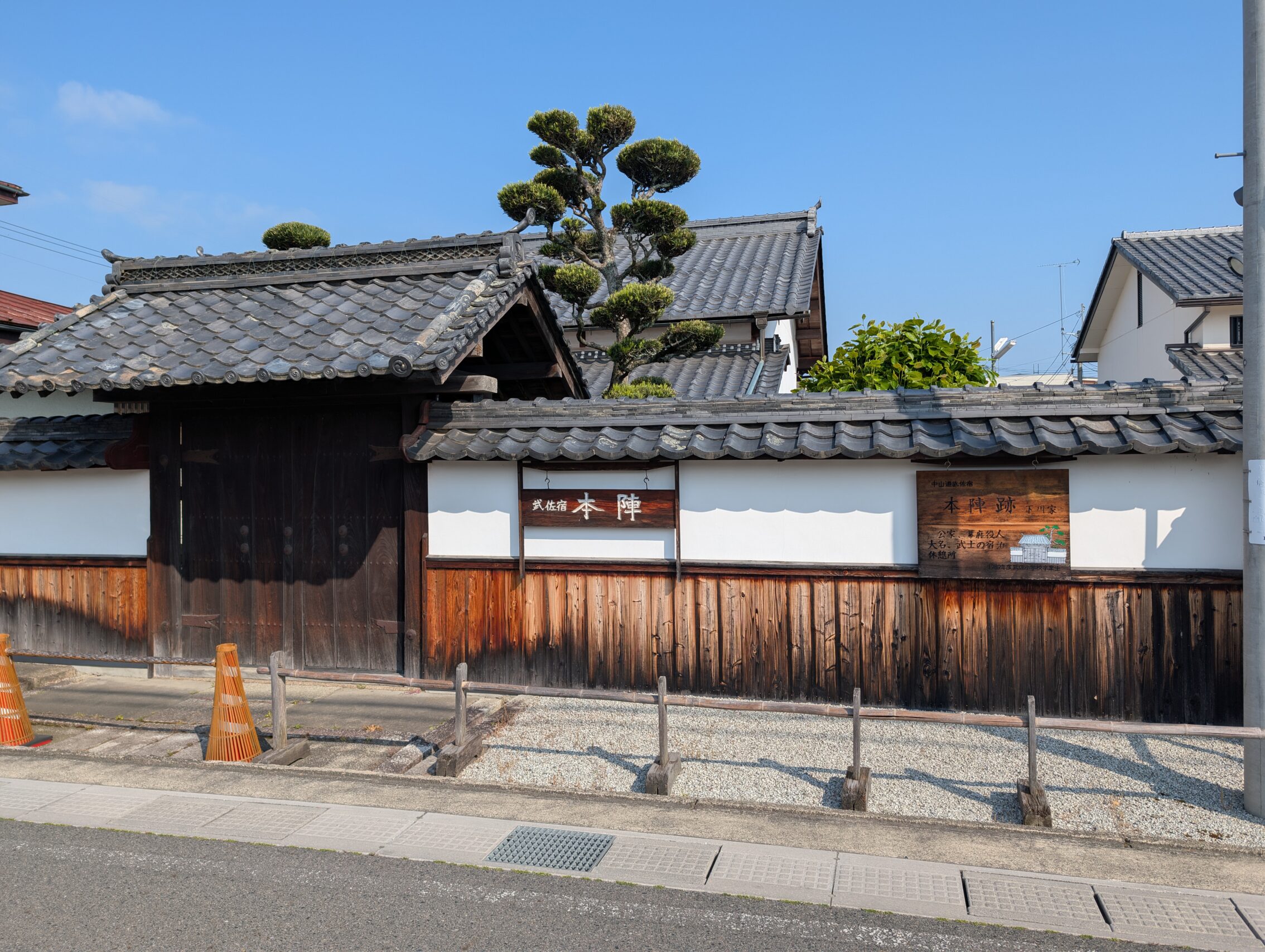
Musa-juku itself had a lot of information signs and some lovely remnants from the days of yore. This honjin gate for instance.
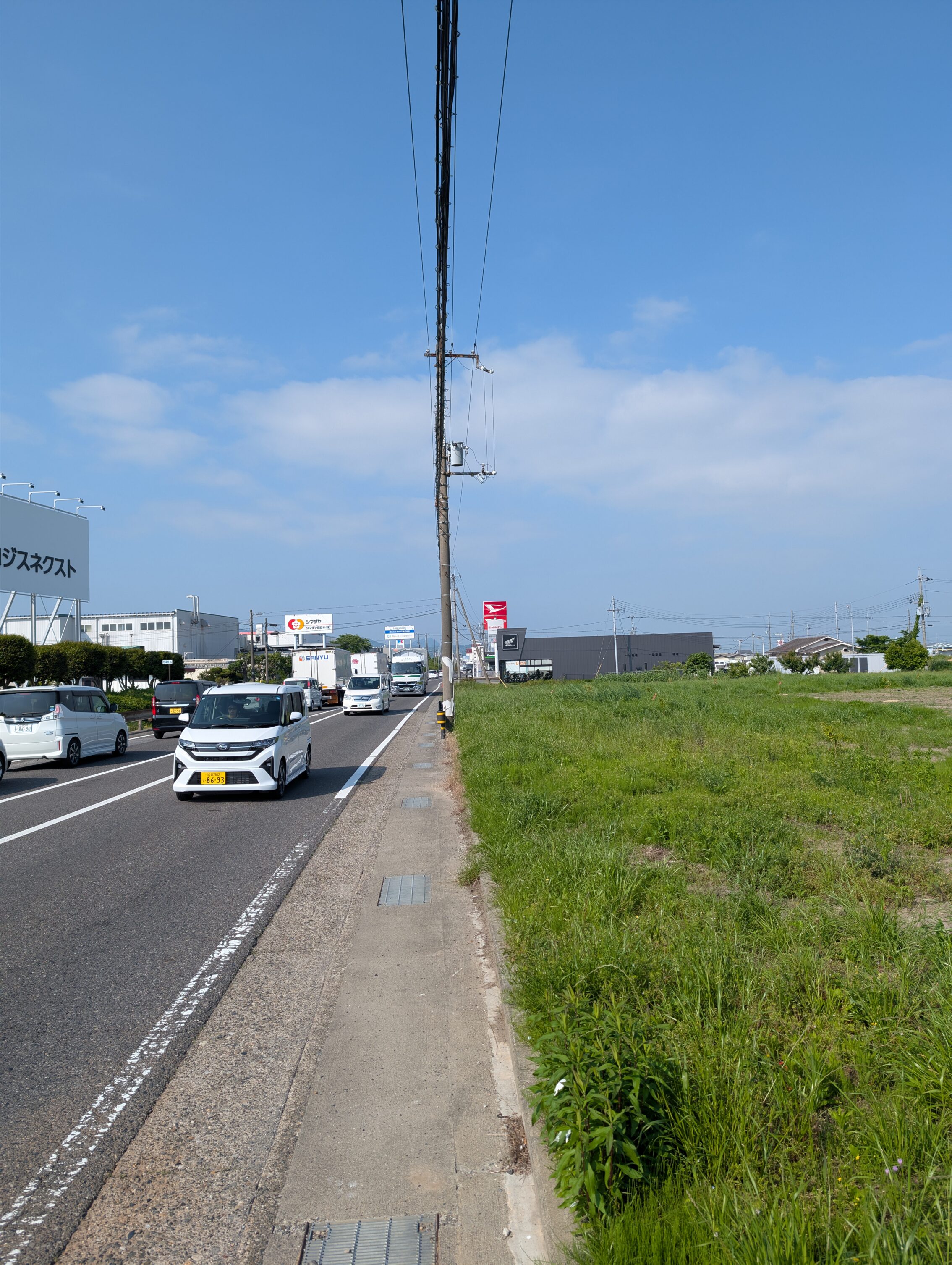
After Musa-juku things took a turn for the worse as the Nakasendō became the National Route 8 and followed it for several kilometres. All places weren’t as bad as in this picture, but it still wasn’t a very harmonius experience hiking next to all these lorries.
The Hino river is a beautiful spot of nature, but I can understand if travellers of the Edo era thought it was mostly a lot of effort and hassle.
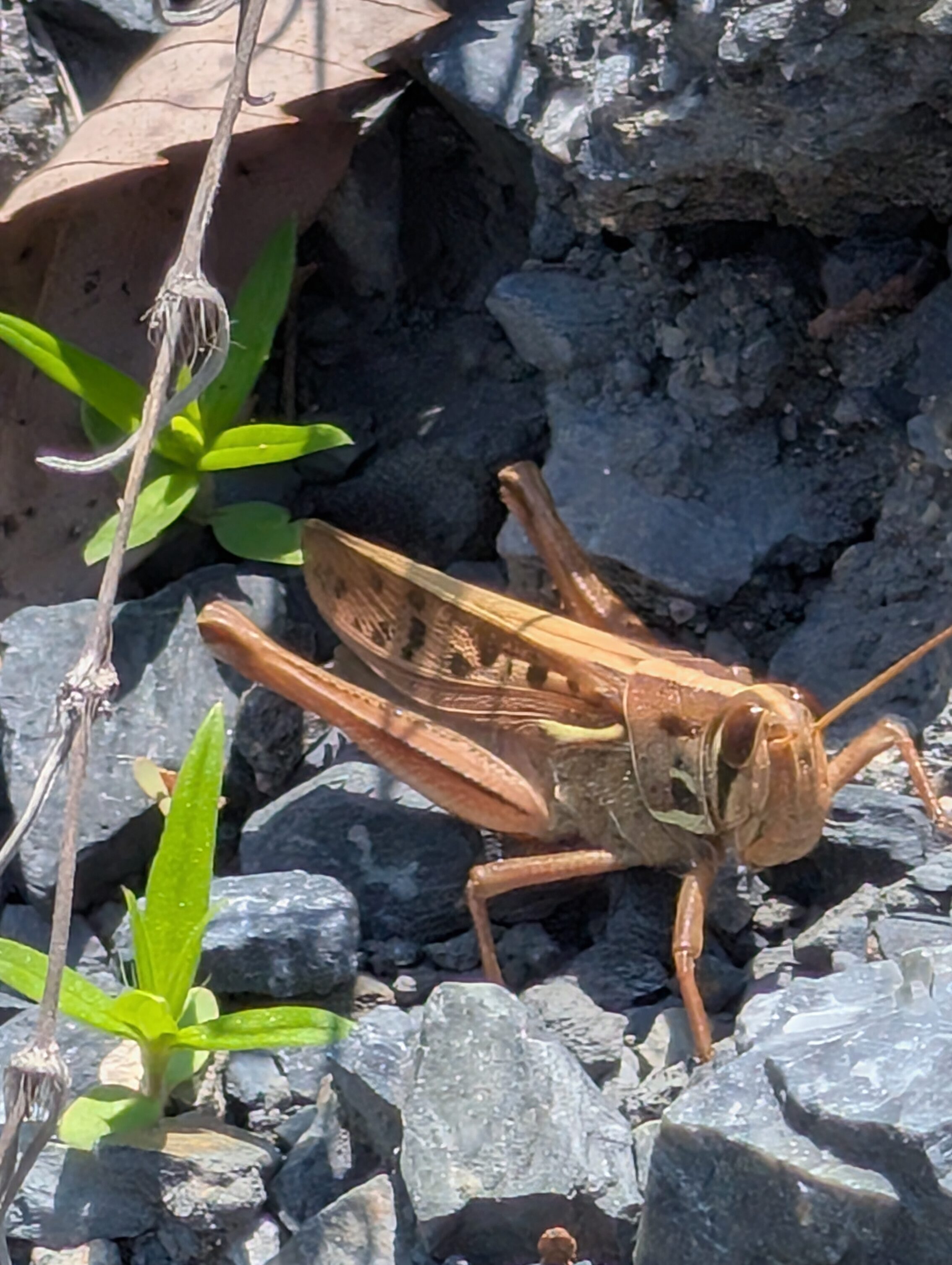
Wildlife!
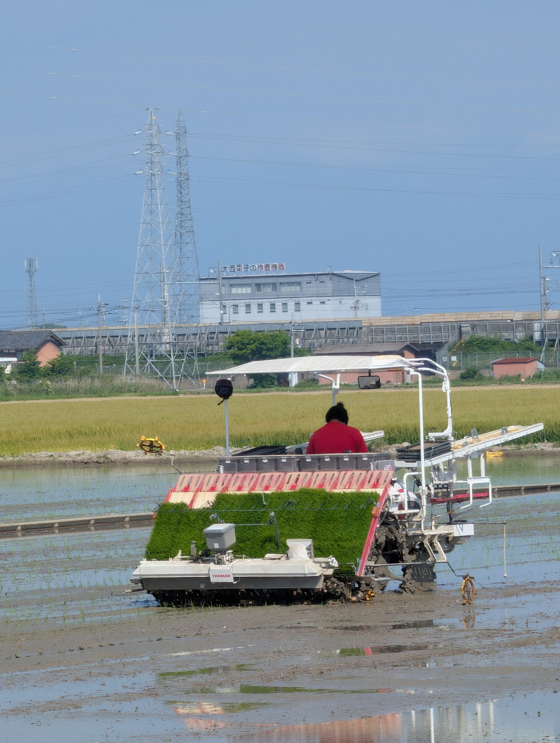
I also got to see some rice planting. While I am sure that this is a common thing to see for probably a majority of the world’s population, I had never seen it before!
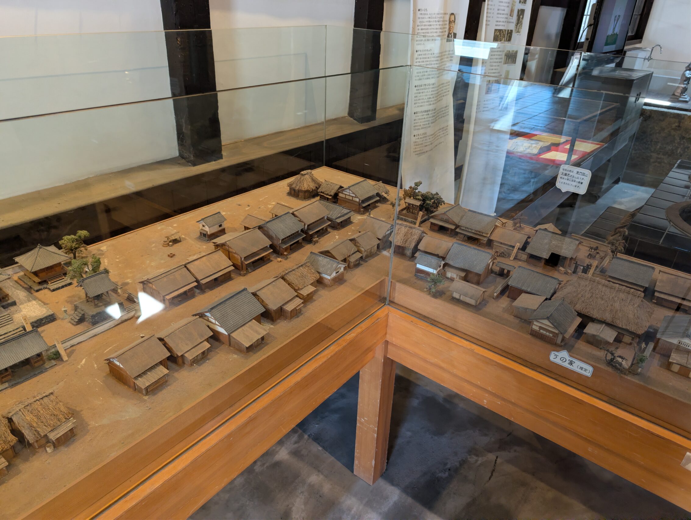
Moriyama-juku has a lot to offer, including a small museum with a diorama and more, a Nakasendō cultural exchange centre (where they offered me iced tea when I came in, probably because I looked like I was dying from the heat), and a lot of other fun stuff.
Milestones encountered today
The Echigawa ichirizuka: a small stone marker.
The Ishizuka ichirizuka: a stone marker and a metal plaque. Easy to see.
The Nishishorai ichirizuka, see picture above.
The Mabuchi ichirizuka has been lost to history.
The Ōshinohara ichirizuka is not on the National Route 8, but down the slope on the northern side where there is a small sign. It is still not as hard to spot as the Nishishorai one.
The Yasu ichirizuka has also been lost to history.
Map vs. app today: 26.0 kilometres vs. 29.2 kilometres.
Tomorrow I’ll hike the last leg of the Nakasendō before it merges with the Tōkaidō, as mentioned above, and then I’ll round the south of lake Biwa. Kyoto is within reach!


Leave a Reply