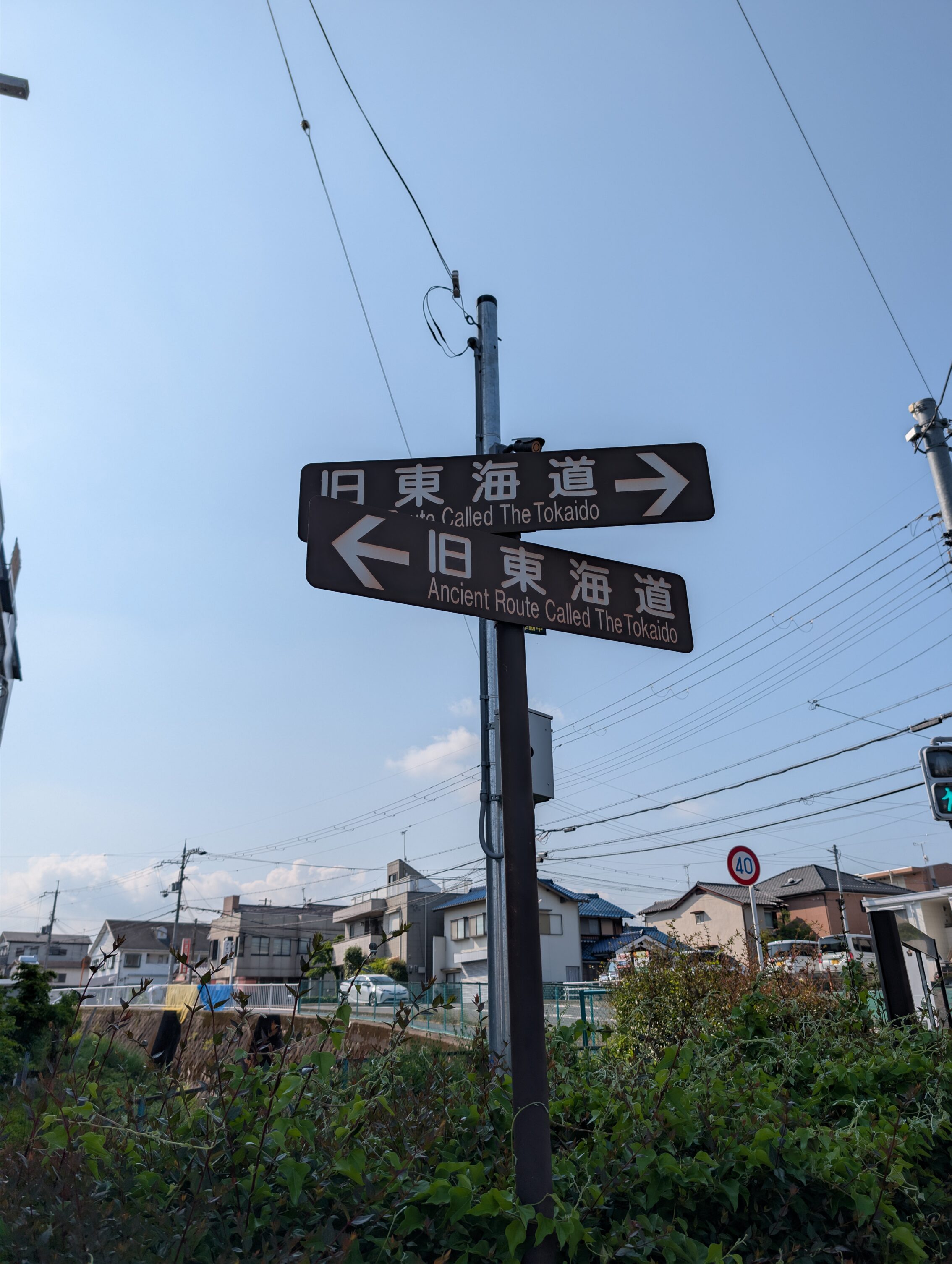
This post describes the last quivering legs of the journey, and finally arriving in Kyoto. But it was a lengthy trek, first yesterday and then today before I could step onto the Sanjō Ōhashi, the bridge where the Nakasendō and the Tōkaidō ends, or starts.
In one way, I reached the end of the Nakasendō yesterday already. Or rather I reached where it merges with the Tōkaidō in Kusatsu-juku, about six kilometres from my starting point in Moriyama-juku. I didn’t stop of course. I wanted to hike all the way to the Sanjō Ōhashi in Kyoto, but that meant that for the last two legs of the journey, between Kusatsu-juku and Ōtsu-juku, and between Ōtsu-juku over the mountains to Kyoto, I was hiking along a path that is signed as being part of the Tōkaidō only. It is the more famous of the two roads, by far.
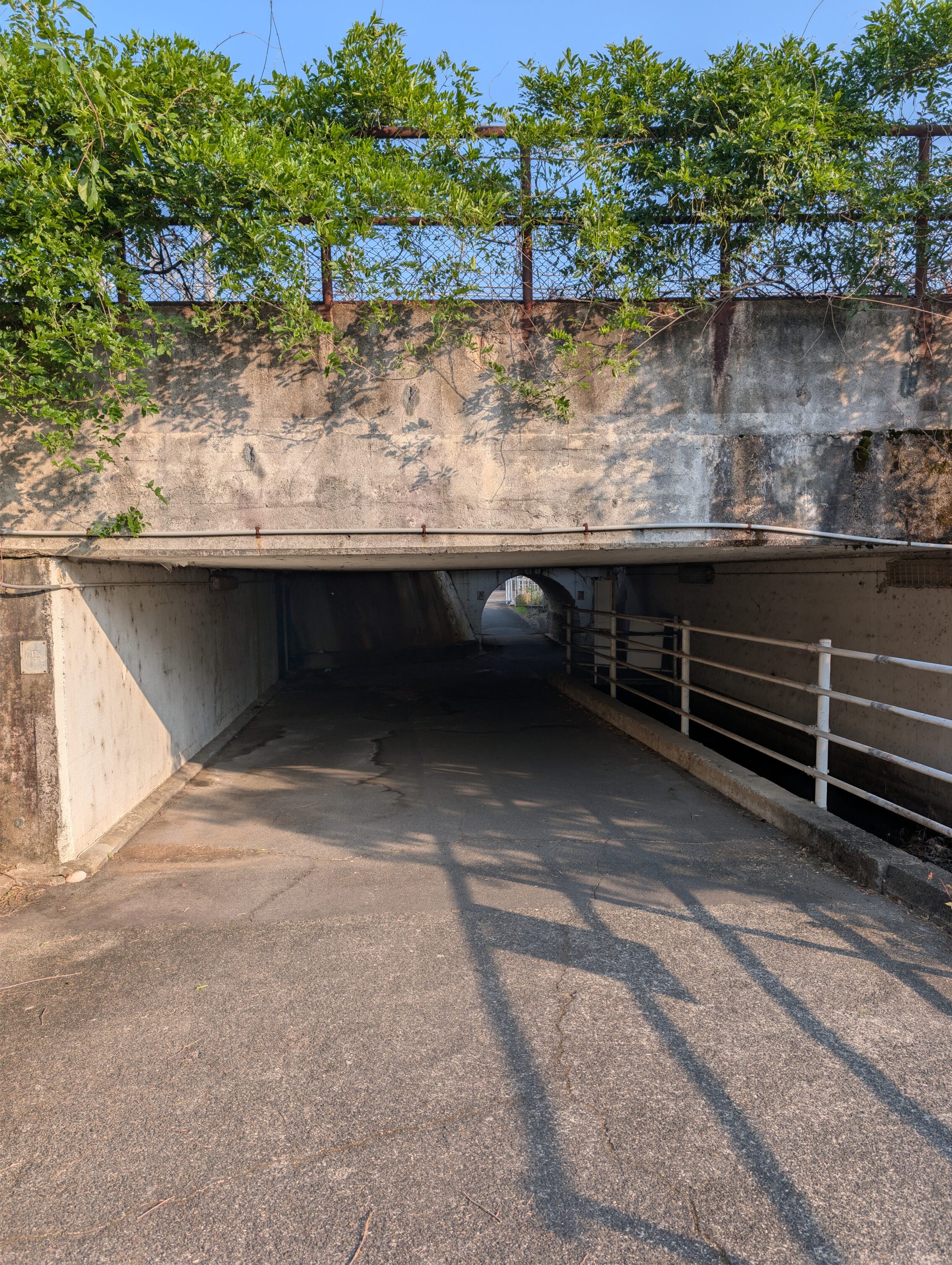
The path crosses the railway lines in the area loads of times. Most often this almost goes without notice. And sometimes it feels a bit more… unsafe.
Kusatsu-juku has a lot to offer for the interested, such as some excellent old houses, a great museum about the Edo period, a notice board, and more. And with more I mostly mean this statue.
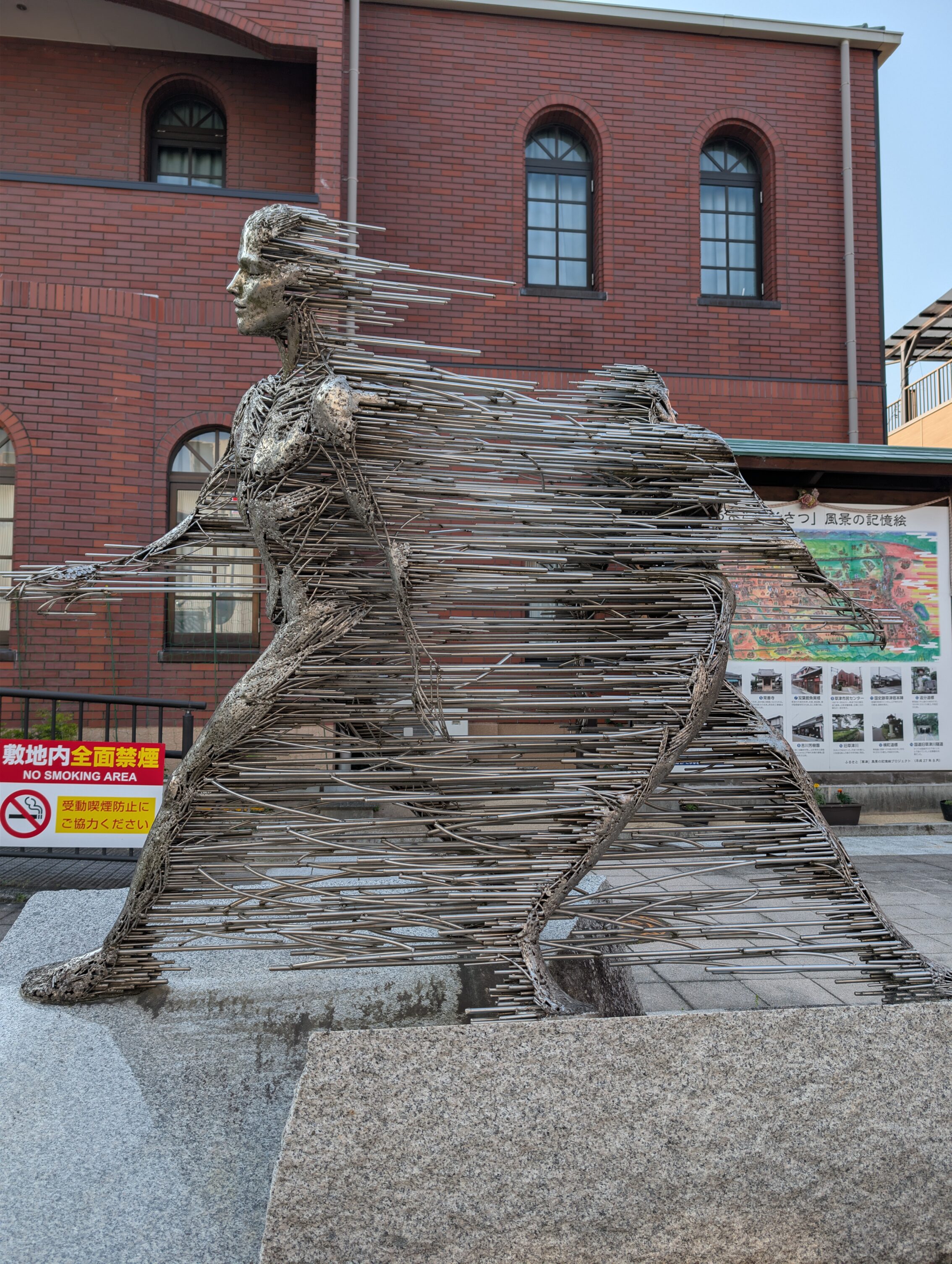
It ought to be called “Star Trek transporter malfunction.” IMHO.
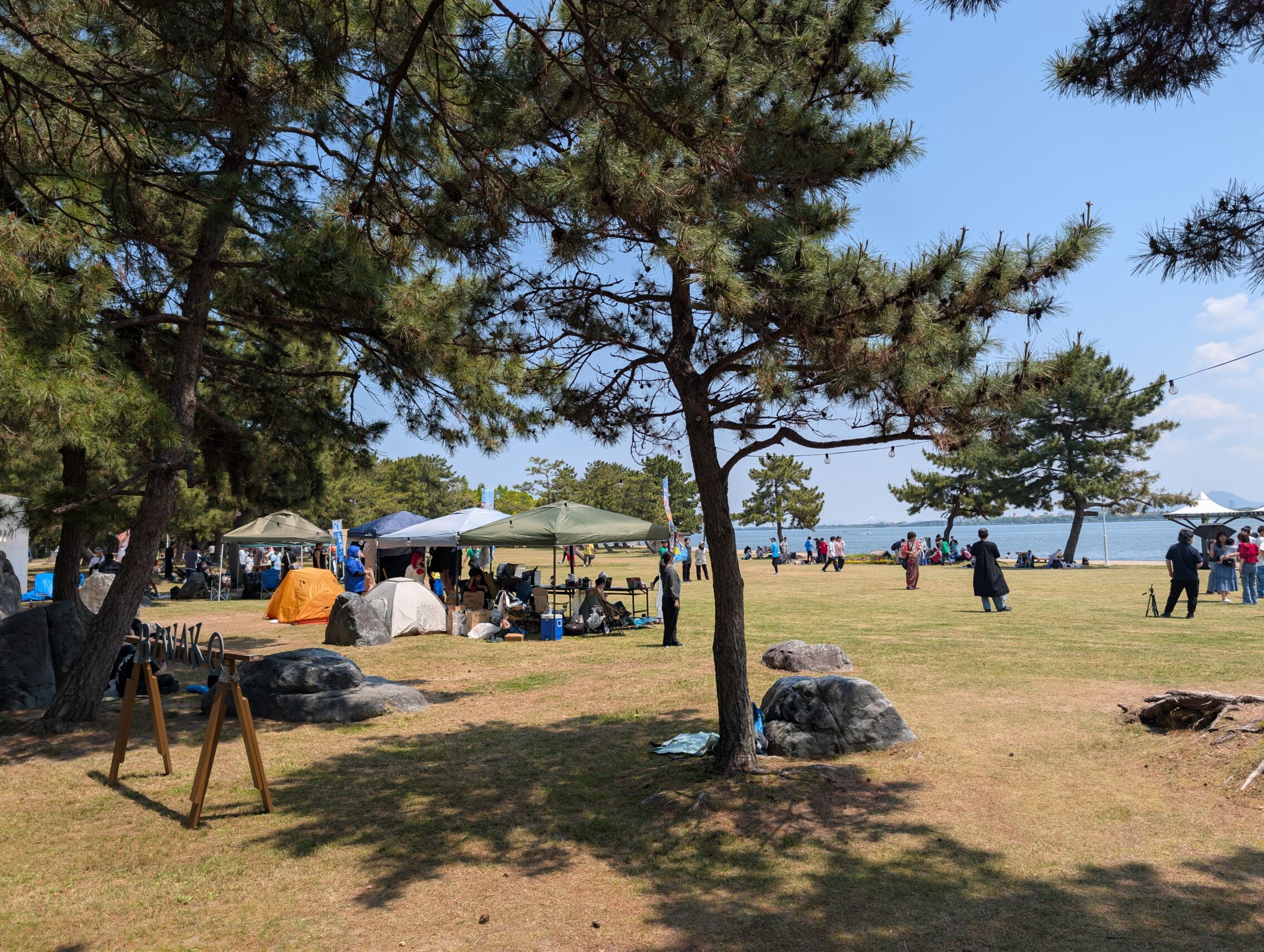
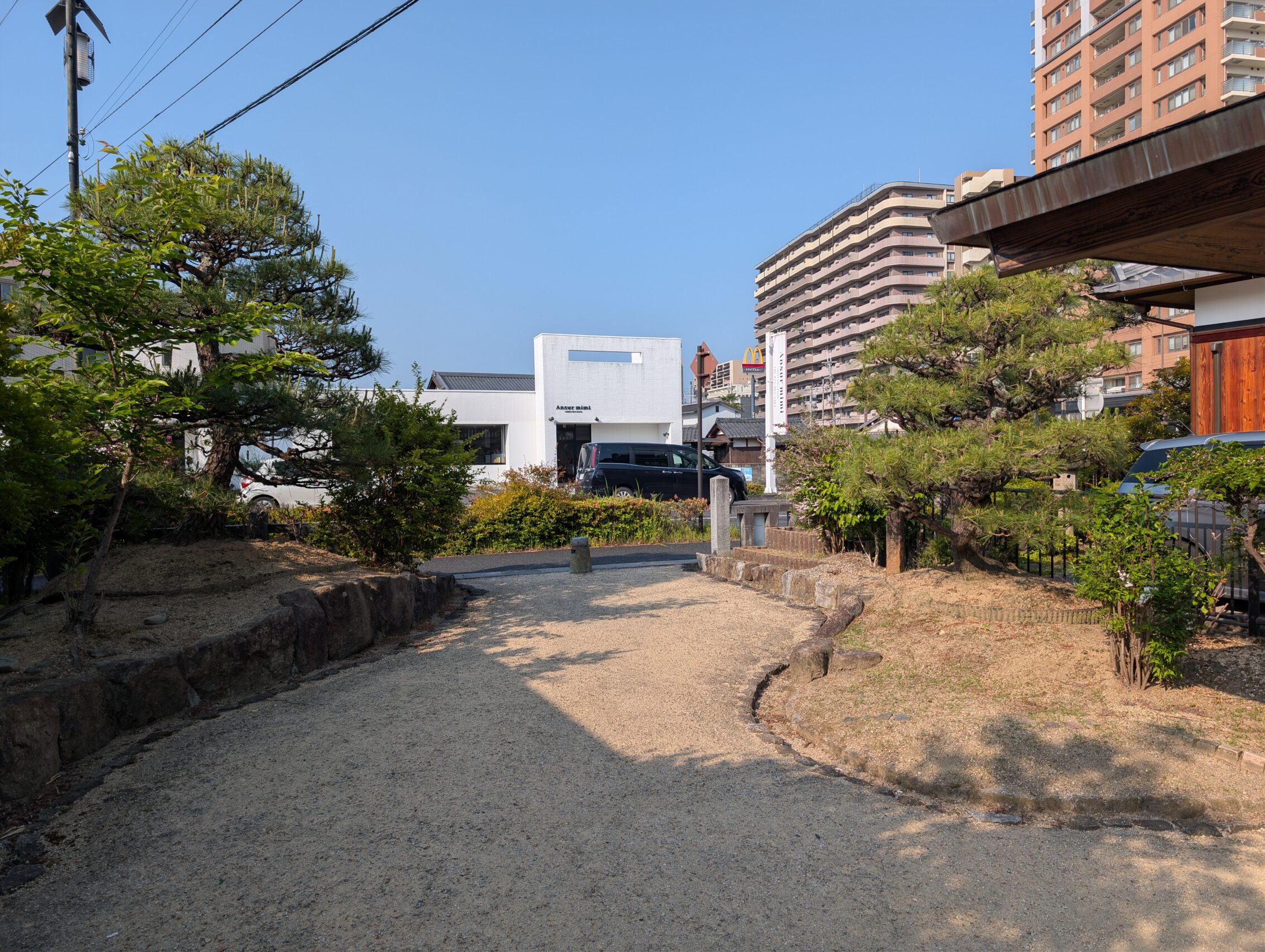
The path after Kusatsu-juku south on the east side of the lake, and the north on the west side towards Ōtsu-juku is mostly a city hike. There are some nice parts though that invited me to explore some more.
Well, these approximately 40 cm high railings will do nothing but make my fall into the poisonous water (my conjecture), all the more likely.
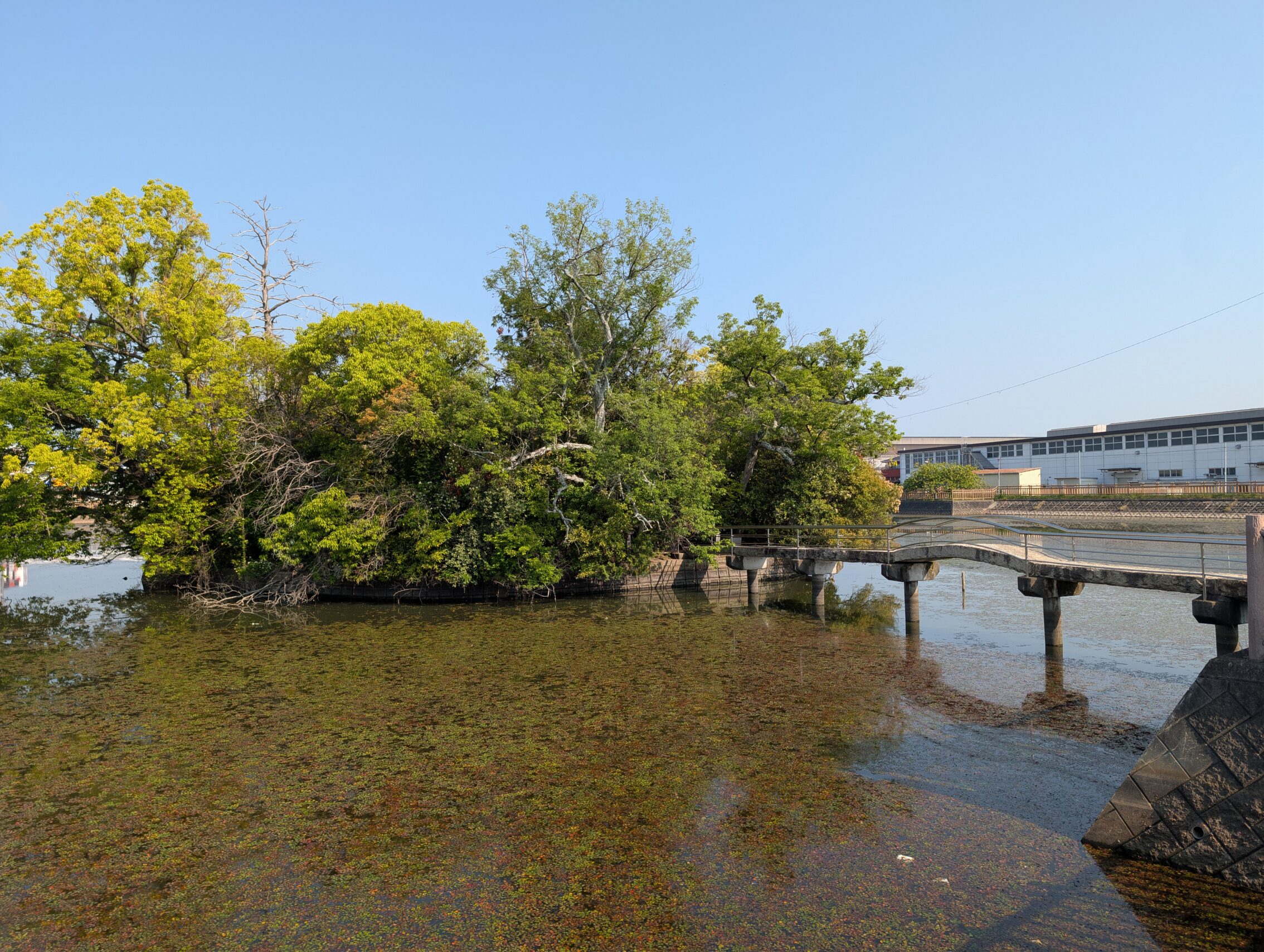
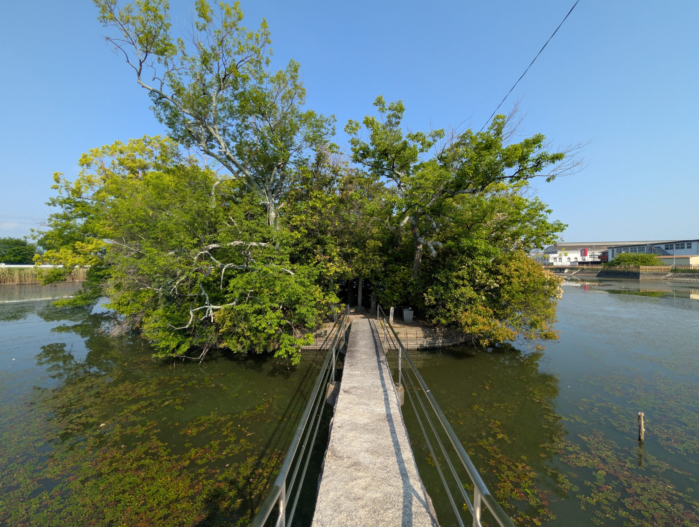
The southernmost point of the whole Nakasendō is at eastern end of the Karahashi bridge across the Seta river between Kusatsu-juku and Ōtsu-juku. The Seta (or Yodo) river flows from the southern tip of Lake Biwa towards the south.
Ōtsu-juku used to be the largest post town by far along both the the Nakasendō and the Tōkaidō. It wasn’t big in terms of inns for travellers, but for other kinds of houses where citizens lived. It was town long before the Tokugawa clan consolidated their power, and it was big because it was the centre of the fishing trade on the lake.
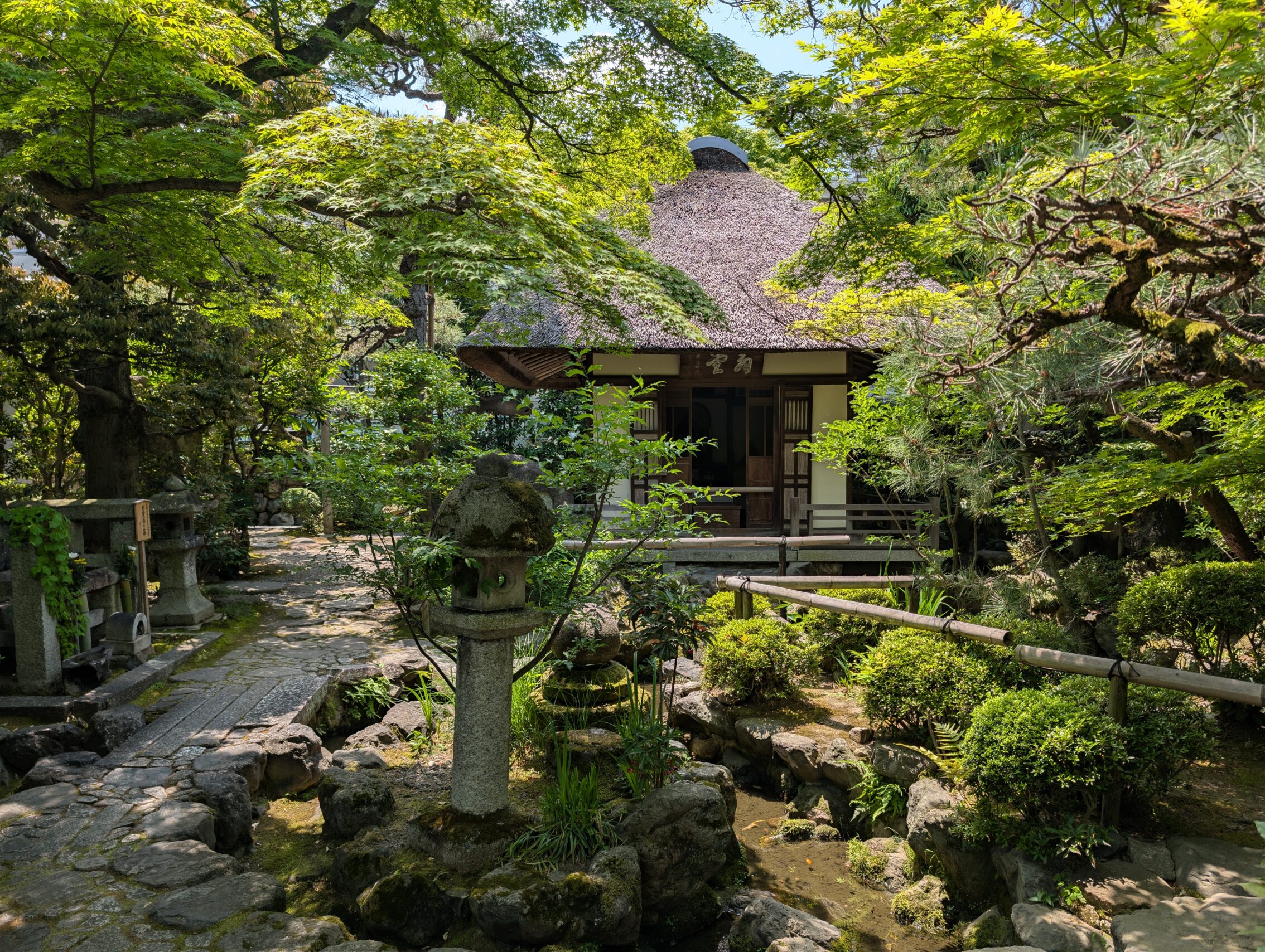
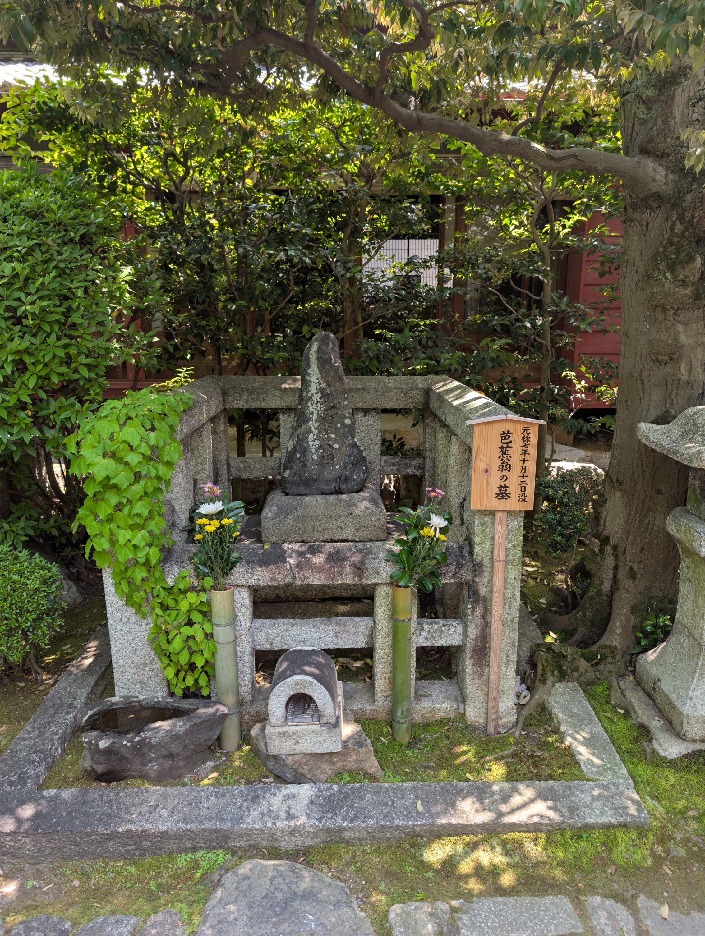
Ōtsu-juku also has a lot of temples along and off the path. One of them, the Gichuji temple is famous for many reasons, but housing the grave of Matsuo Bashō is enough for me to want to visit it.
When I left the temple I headed to the old post town centre, and waited for my hotel to open.
After leaving Ōtsu-juku the path headed up into the hills between the lake Biwa and Kyoto, and unfortunately mostly followed the highways that now cross the area. I did this hike *early* in the morning on a Sunday, so it wasn’t too much of a hassle, but if you hike it during a more active time of day, on a different part of the week I think the traffic might be rather horrendous at times.
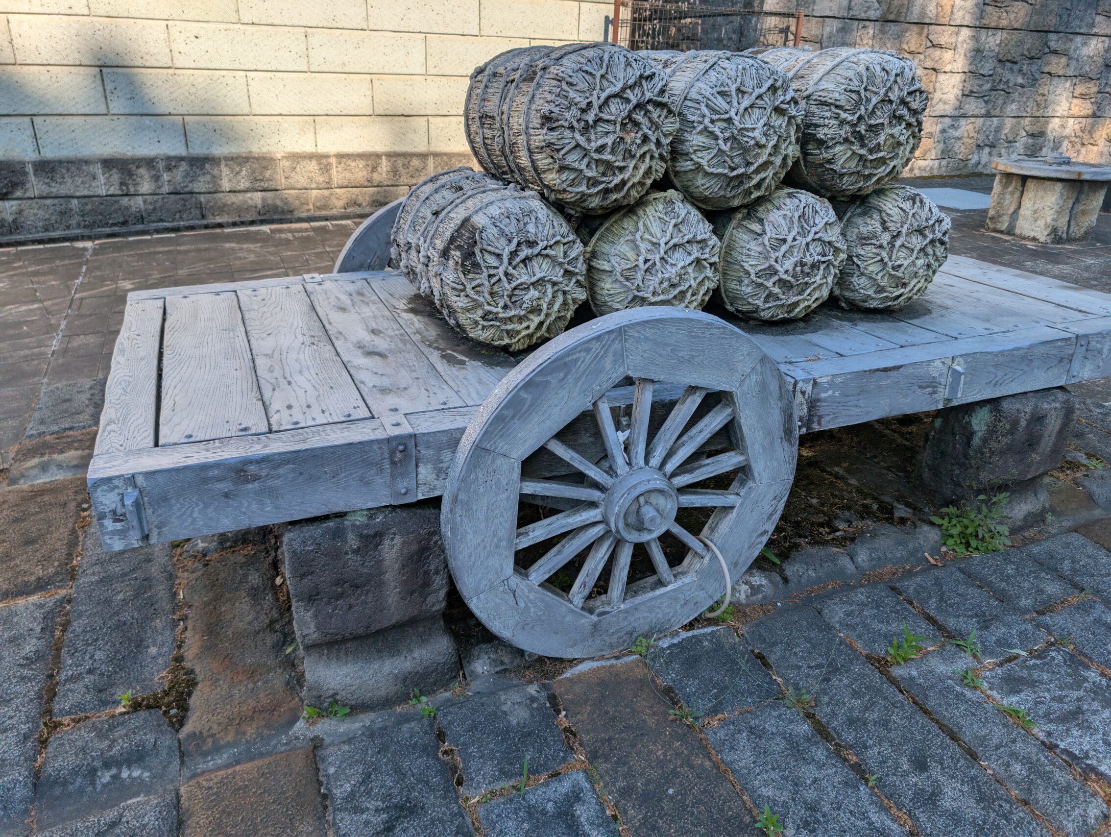
Traffic could be horrendous during the Edo period as well, but maybe in a different way. The area around Kyoto is known to be both warm and humid for long periods during the summer months, and this often lead to very muddy roads, and carts getting stuck in said mud, and the people pushing the carts getting rather cranky. So something needed to be done about that!
It helped the hauling of carts across muddy and steep slopes in and around Kyoto.
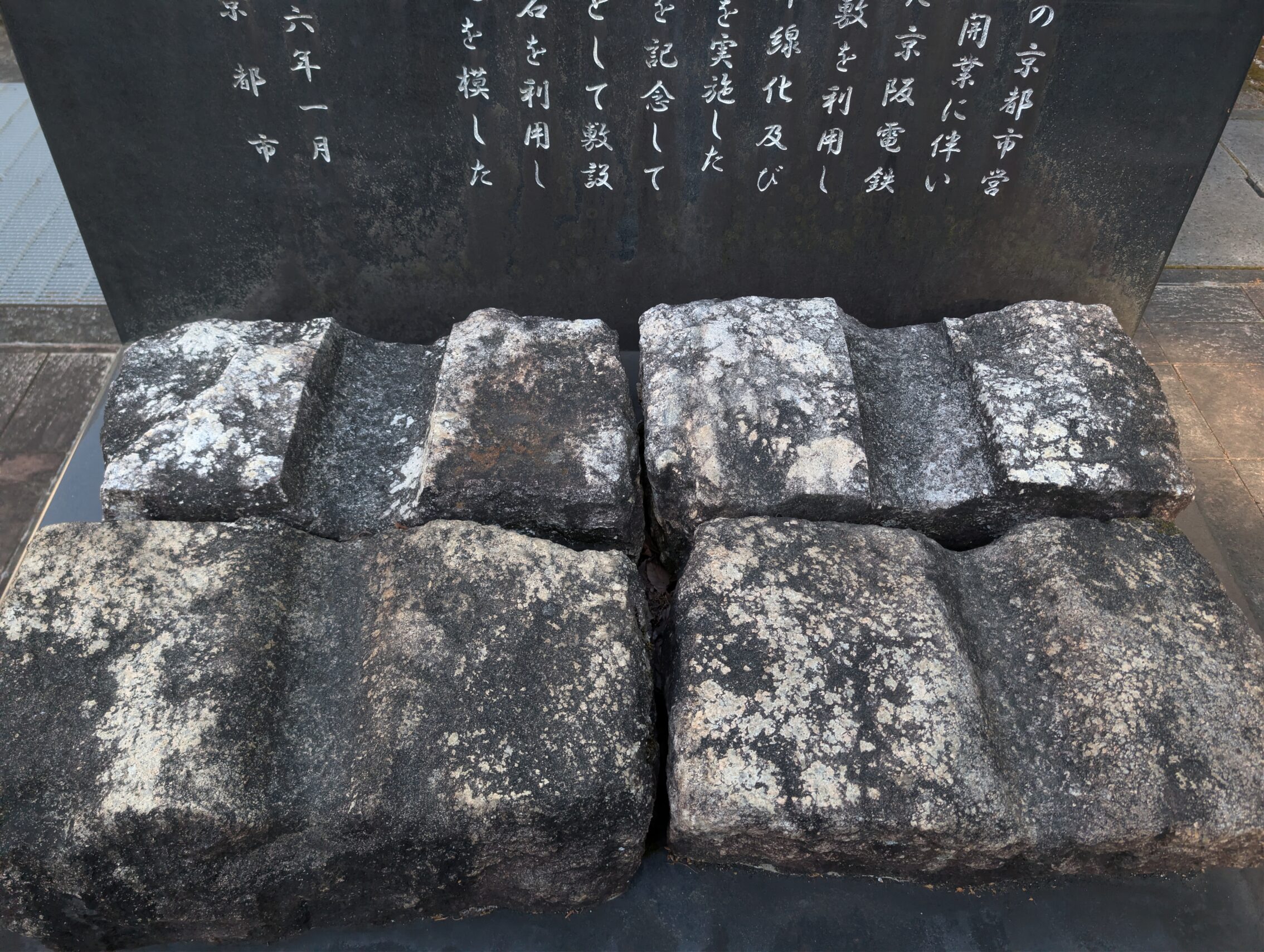
Milestones passes during the last two days
The Imajuku Ichirizuka is a prefectural designated historic site. The south mound is intact and has a mighty tree growing on the top. There are flags, an information board, a grey stone marker, and a bench as well, to make sure you don’t miss this milestone.
The Ojii ichirizuka has been developed away by modern houses and streets and nothing of it remains today. There is a colourful sign on the railing on the south side of the intersection. This ichirizuka was the final unique milestone on the Nakasendō when hiking from Tokyo. The six remaining milestones on the way to Kyoto is shared with the Tōkaidō.
The Noji ichirizuka. There isn’t anything left of the original mounds, but today there is a small park with a resting area, the Kamikitaike Park, that has some stone markers and information boards, as well as a mini version of the mounds, one on each side of the path in the park.
The Tsukinowaike ichirizuka is sometimes also called the Ogaya ichirizuka, and there is large stone marker telling you where it is.
The Awazu ichirizuka is placed wrong on almost all maps online. According to new research the Tōkaidō followed another path than what has been thought before. There is nothing left of the milestone, though, not even a marker, so it might be mostly of academic interest.
The Ishiba ichirizuka is also gone, and the place it once was is at best an estimate.
The Hashirii ichirizuka is yet another milestone that’s gone the way of the parrot. There is a commemorating stone for it though!
And the last of the milestones, the Goryo ichirizuka is gone, and the place where it once was is debated. There are even two places on Google maps that both claim is the correct position for it…
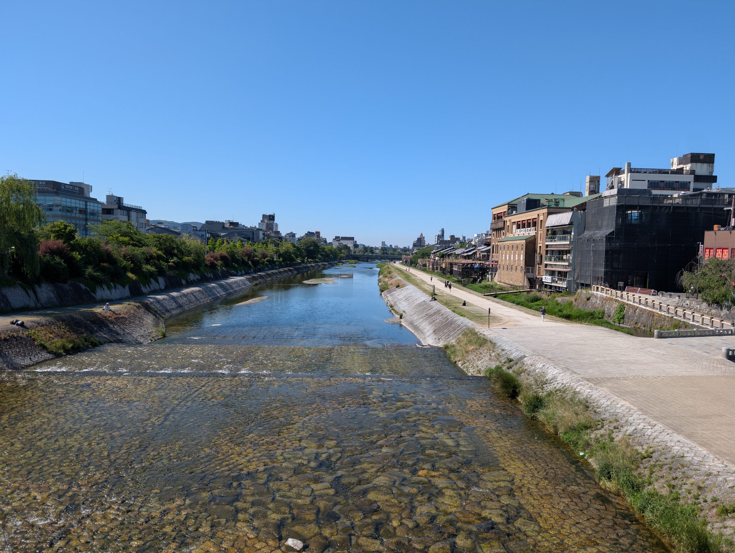
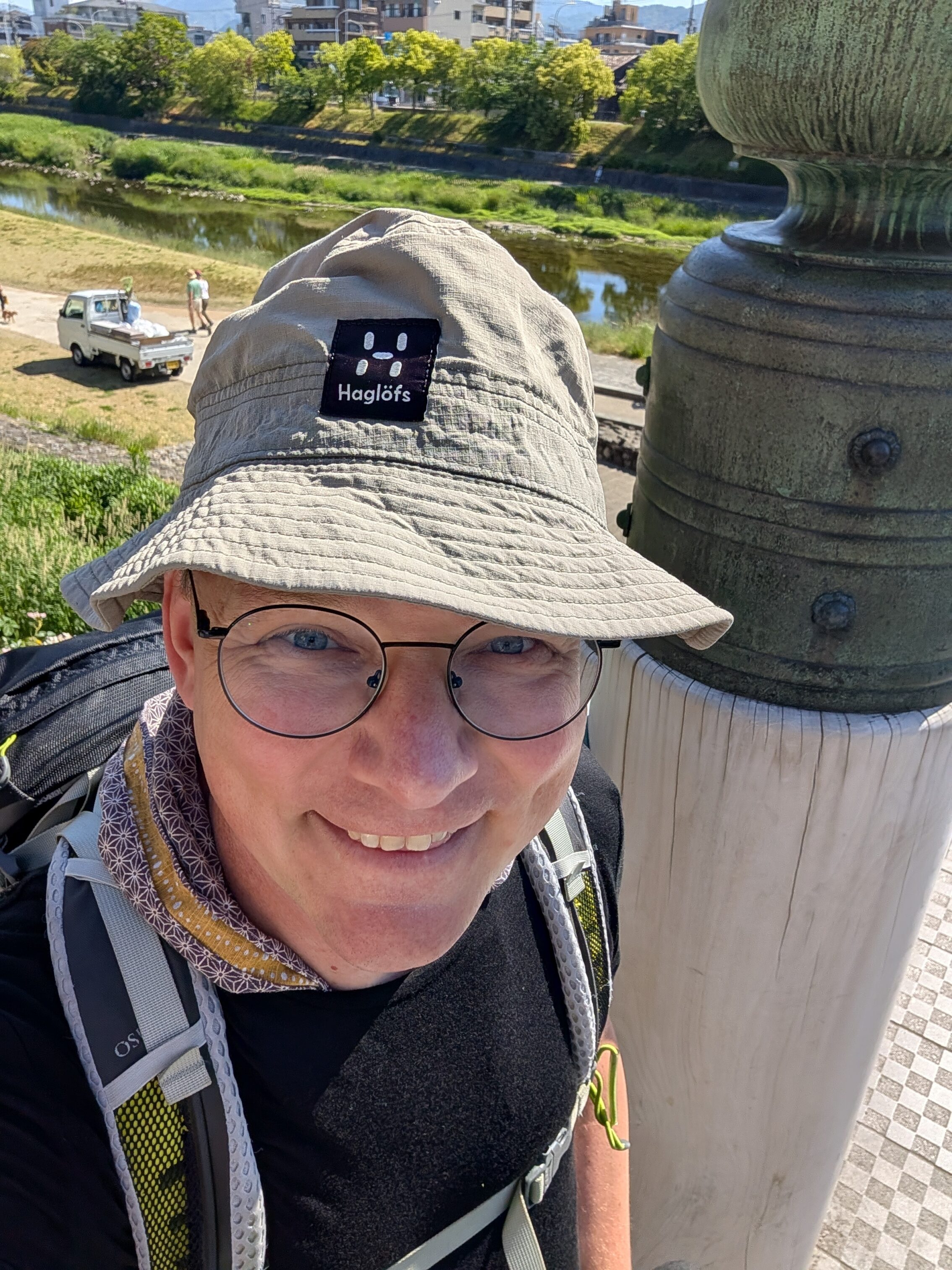
And then finally, I arrived at the Sanjō Ōhashi, the end of the road!
This is the final post about the journey itself, but I’ll keep updating with things that happened and that I saw along the road that I haven’t posted about before.
Also, I have written a guidebook about hiking the Nakasendō that I’ll probably publish here as well in due time. It needs a lot of polishing and updating!


Leave a Reply