The big one. The length of this leg is about 22 kilometres, but the pass itself is a gruelling hike uphill from Wada-shuku for almost 800 metres, and then down a bit more than 800 metres, reaching the post town Shimosuwa-shuku just by Lake Suwa. Starting elevation at Wada-shuku is about 830 metres, the Wada pass is at 1601 metres, and Shimusuwa-shuku is at 791 metres.
Unfortunately, the first few kilometres of the hike out from Wada-shuku runs along the National Route 142, and while it isn’t the busiest of highways by far, there is at times precious little room for a hiker, so I decided to strike out early and started walking at 05:30. And it kind of paid off! There were some larger lorries, but most of them passed me during times when I had the opportunity to step off the road.
One of the highlights of hiking across a pass like this is of course arriving at the pass itself, but before that the trail passes a few cool things as well.
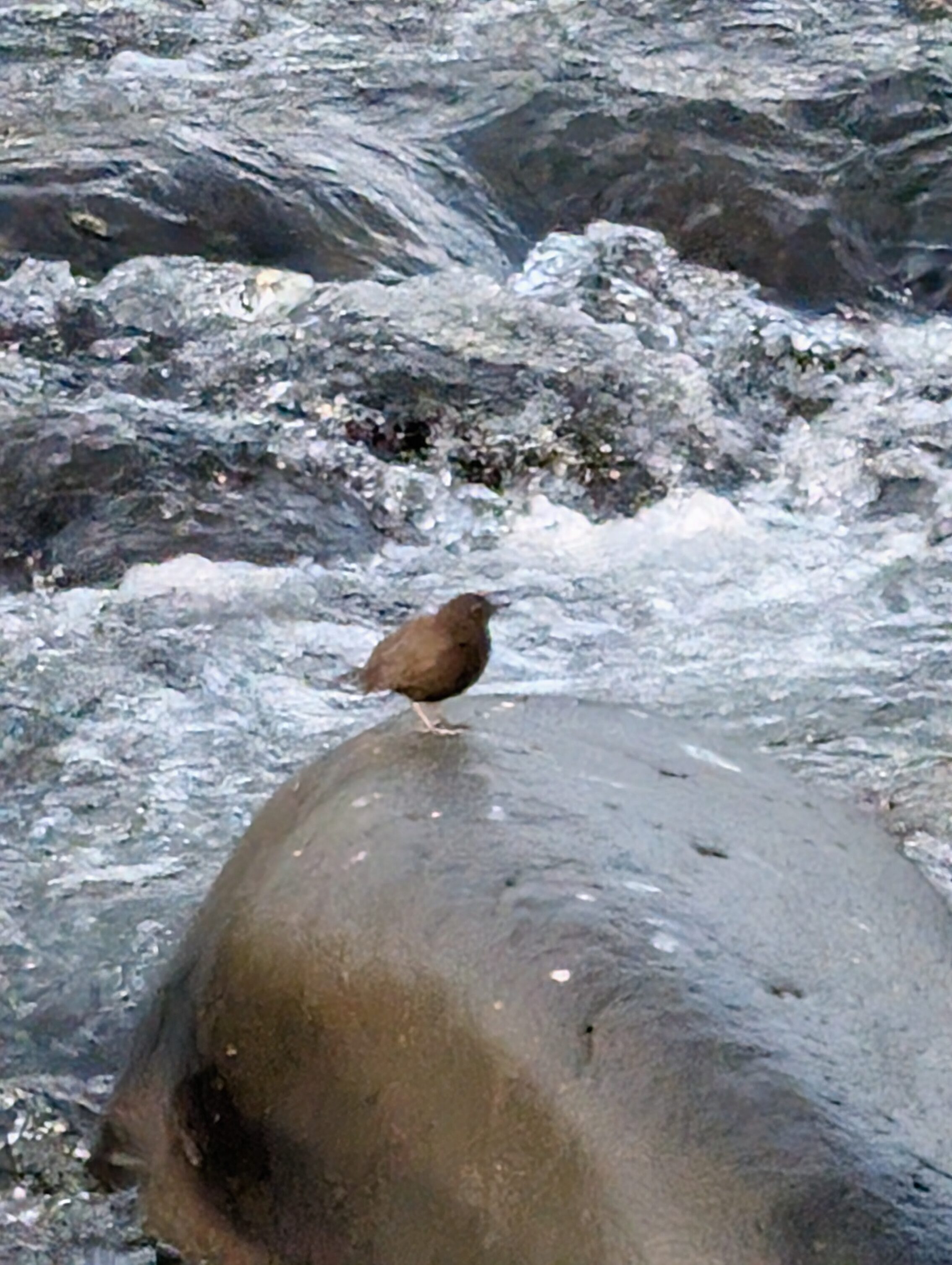
The Yoda river is a constant companion at the start of the hike, and it presented not only a slew of Star Wars jokes, but also a Brown Dipper!

The Brown Dipper is different from the European White-Throated Dipper because it… uh… doesn’t have a white throat, basically. Well, it isn’t black on the back either.
A few minutes from the top I met another guy hiking in the other direction. He was from France and was doing the Nakasendō as well, but was starting from Kyoto! He seemed to be more interested in the hike from a performance perspective, ie to hike it in as few days as possible, and saw much of this as challenges to overcome rather than vistas to explore and experience. We had a different outlook on why we were hiking!
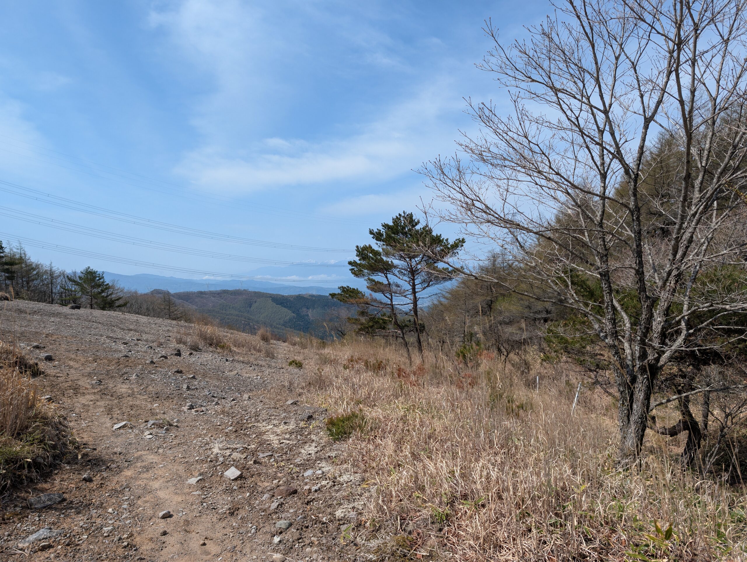
The pass itself is the featured picture at the top of this post. It was very windy, and not very pleasant. Or to use Tumblr-vernacular. It fucken wimdy. I stopped for a few minutes to take a handful of pictures, but my idea to stay and eat for a while was not a top-notch plan. Here are a couple of pictures from the way up instead of me eating lunch:
This part of the trail is sponsored by your local podiatrist.
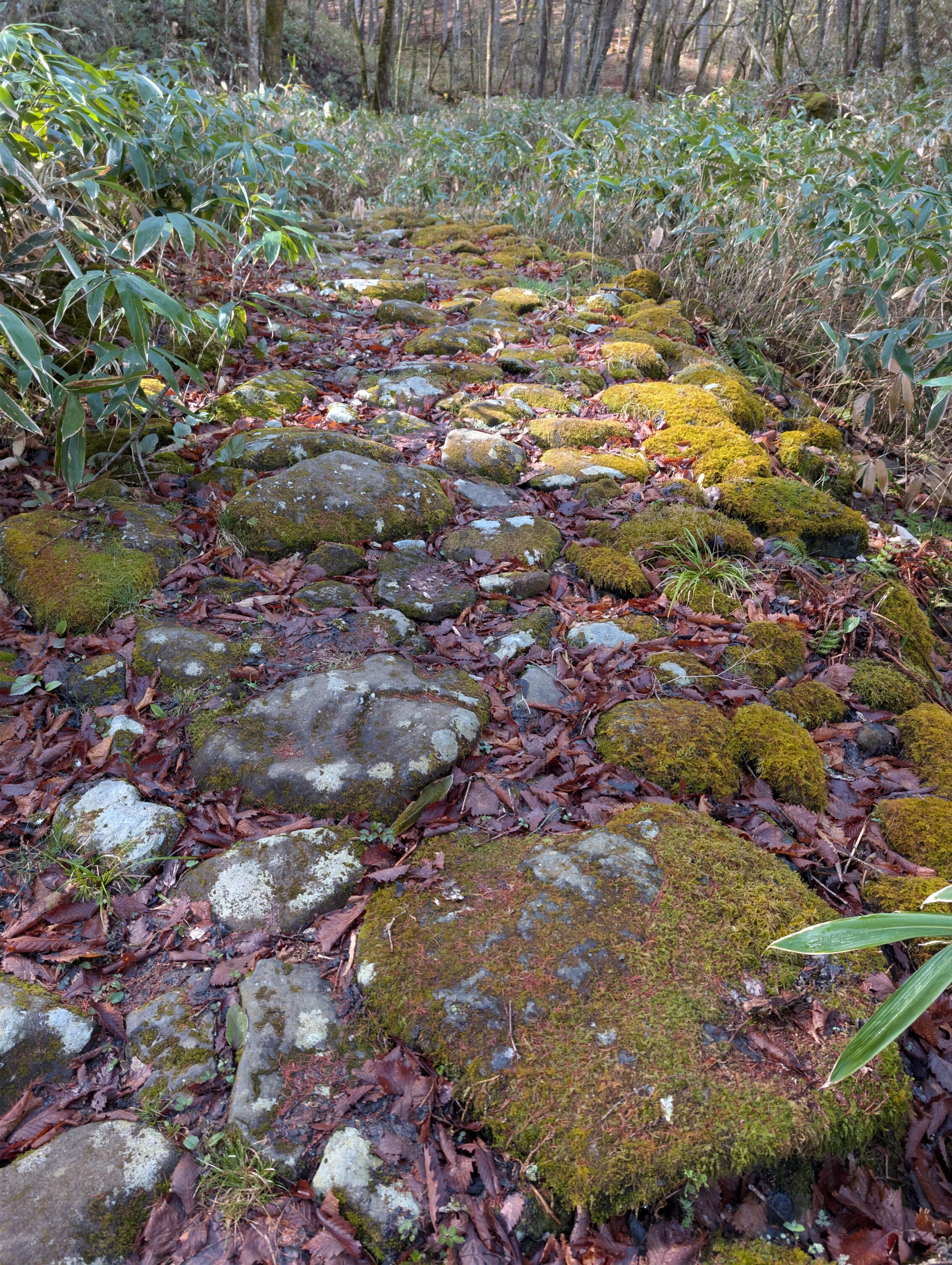
The way down was in one way a lot easier. I mean, suddenly gravity was on my side. In another way, it certainly wasn’t a lot easier, because, well, gravity was on my side. The path had a lot more loose stones on the ground, even including the rather precarious parts with ishidatami stones, and the path was at times very narrow as it meandered down the steep slopes towards lake Suwa and the post town next to the water.
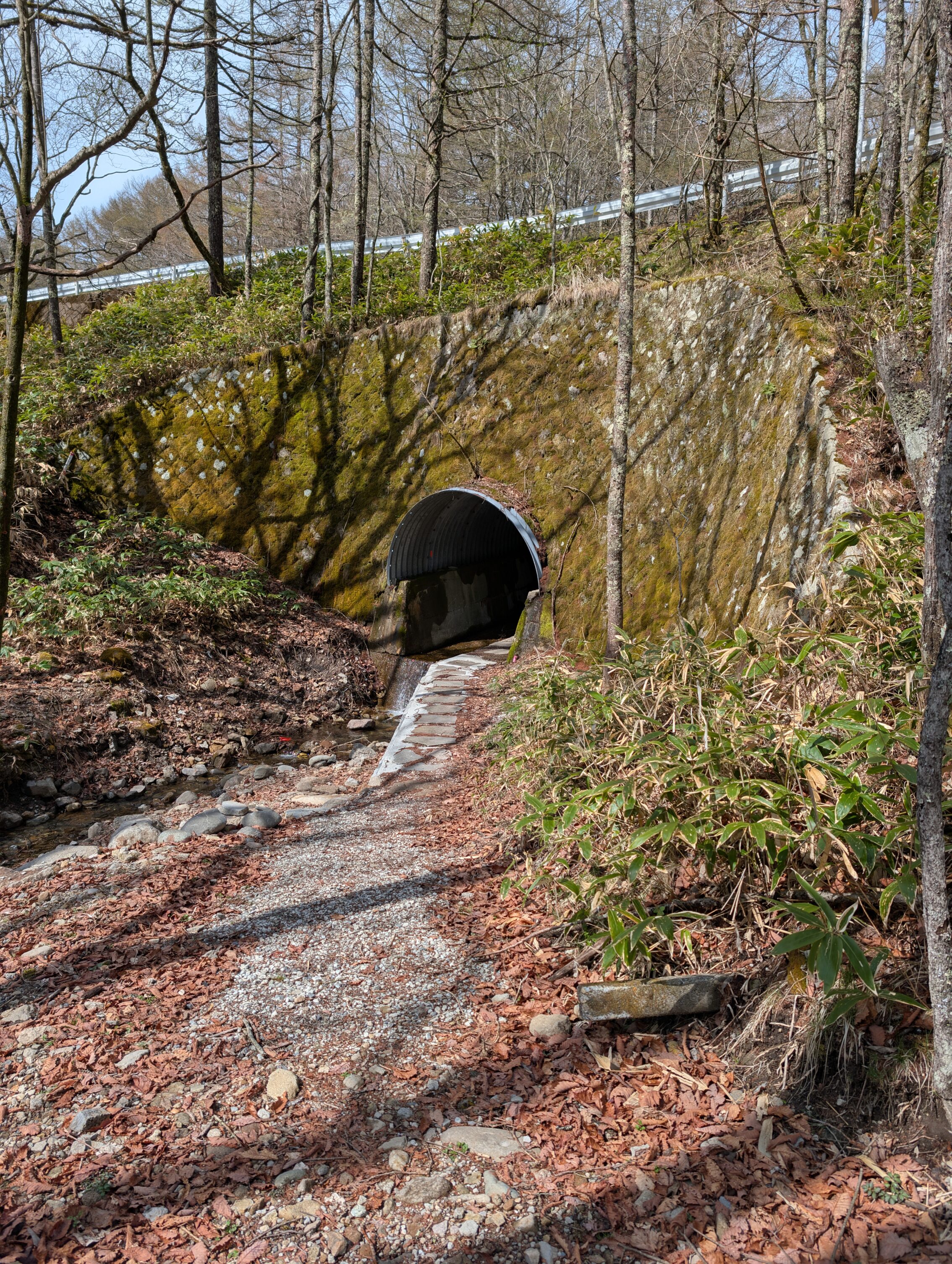
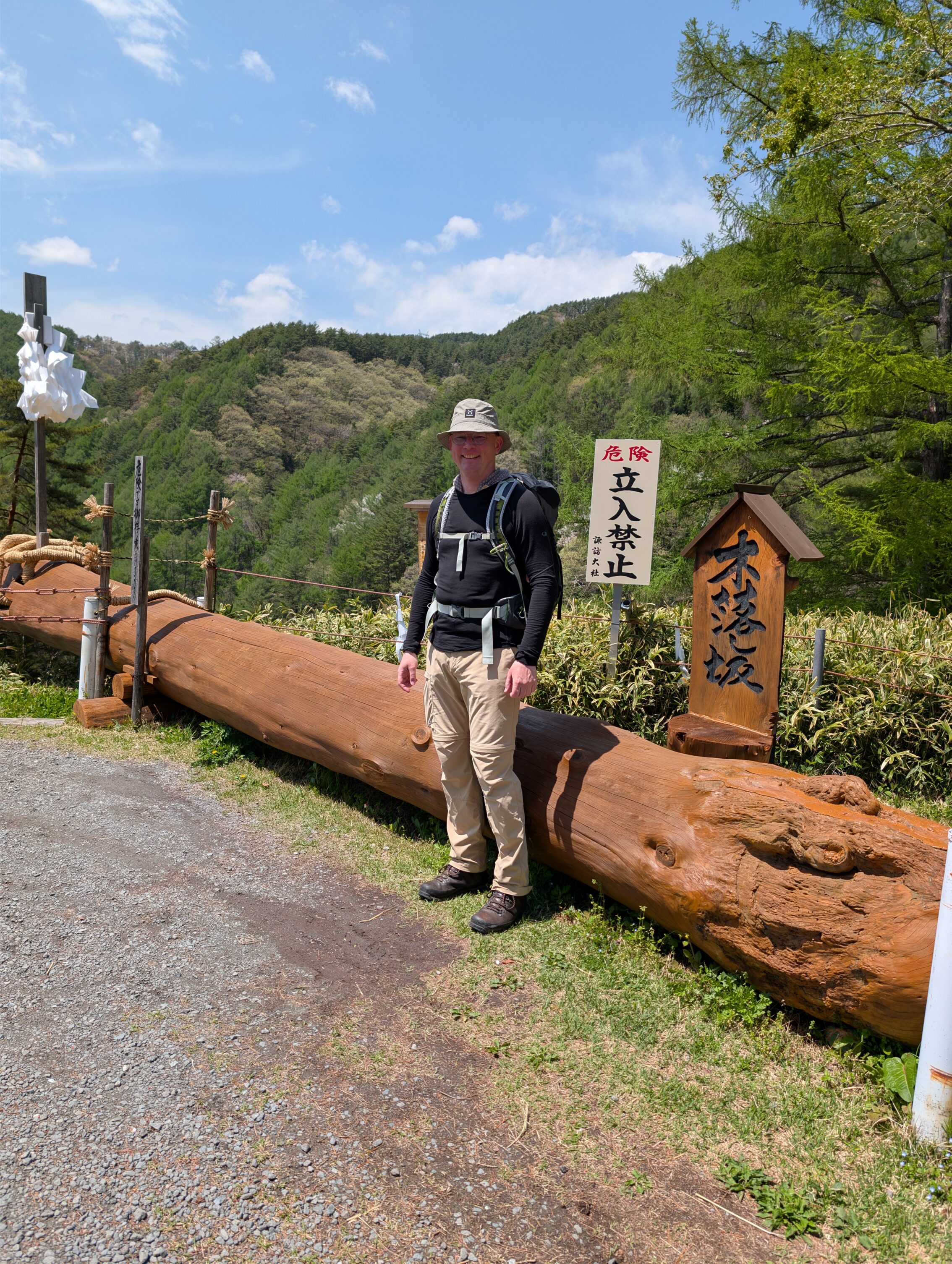
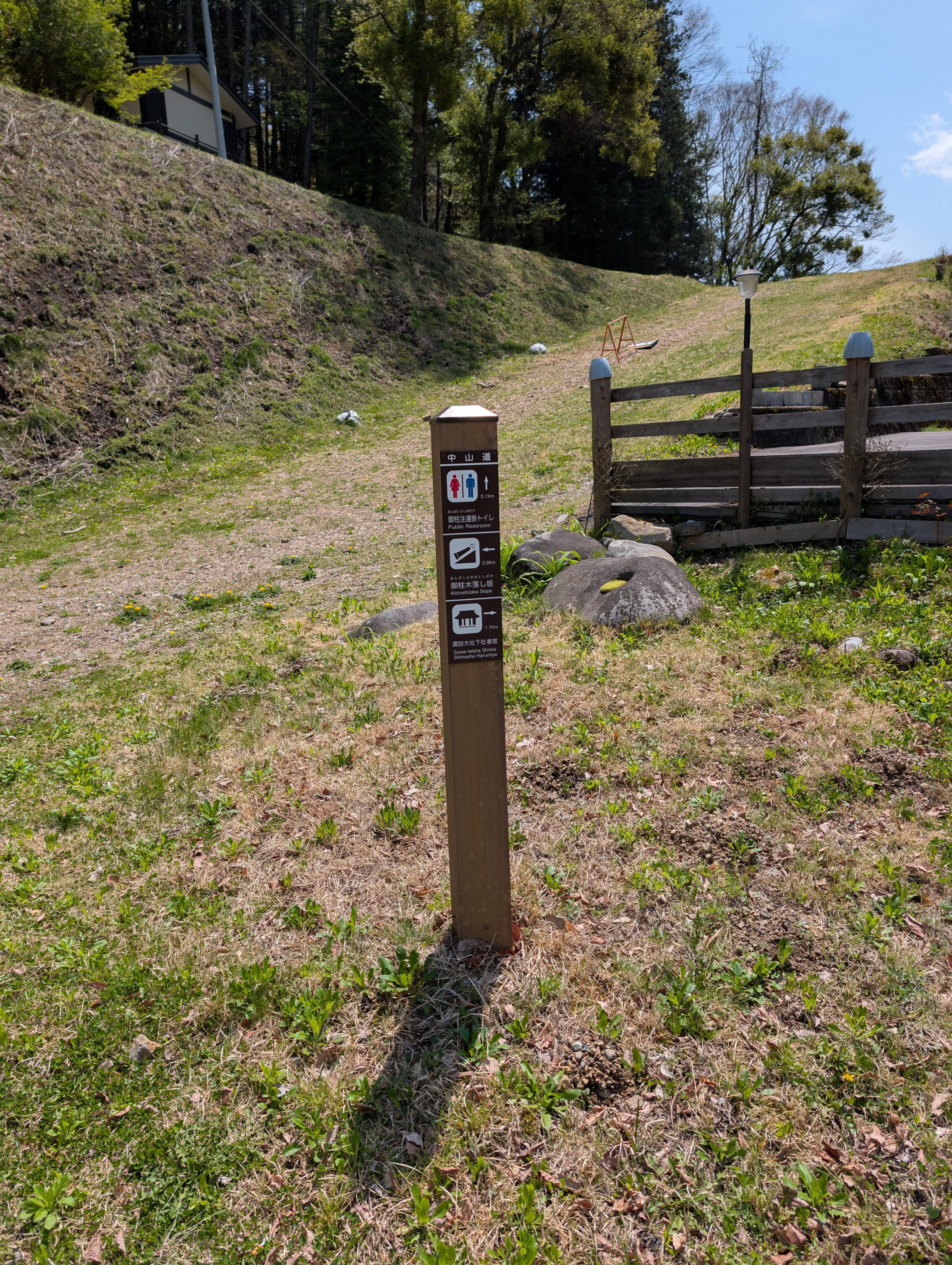
The Kiotoshizaka slope outside of Shimosuwa-shuku has for centuries been used for a tradition to fell a handful of specially cultured Japanese cedars that are used in the temples in the town. When felled, these logs are dragged down the mountain until they reach this special slope that is about 100 meters long, and has a steepness of about 35 degrees. At this time people start /riding/ the logs. For real. Yes, people die during this. Often. The festival is called Onbashira and is held every six or seven years. The next one is in 2029 (maybe, check with your local travel agent), so there is still time to join in the fun!
The signs pointing towards the slope gives a pretty good picture of what to expect of this event.
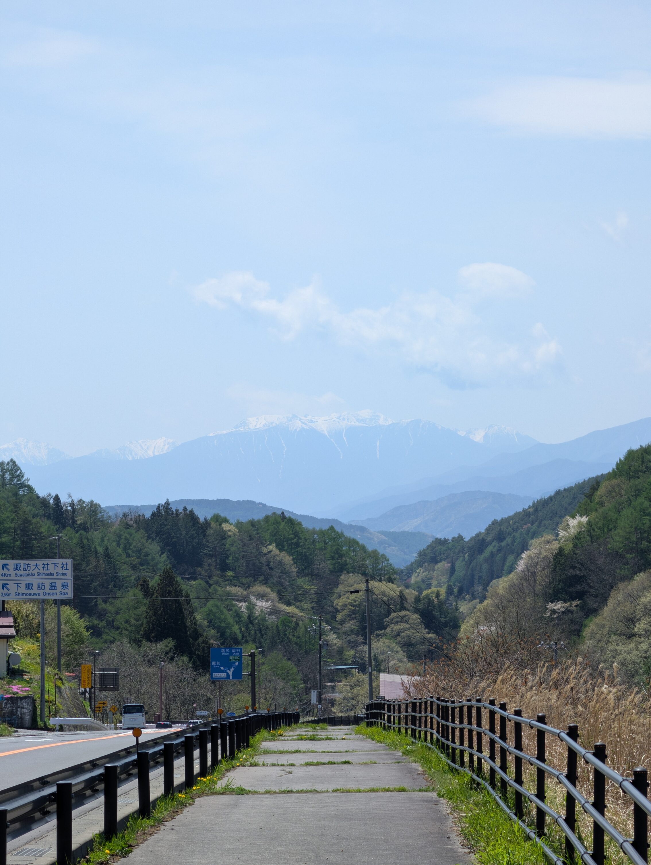
To round off the day, here’s a view when hiking downwards towards the lake. The snow-clad mountains in the distance is not part of today’s fun.
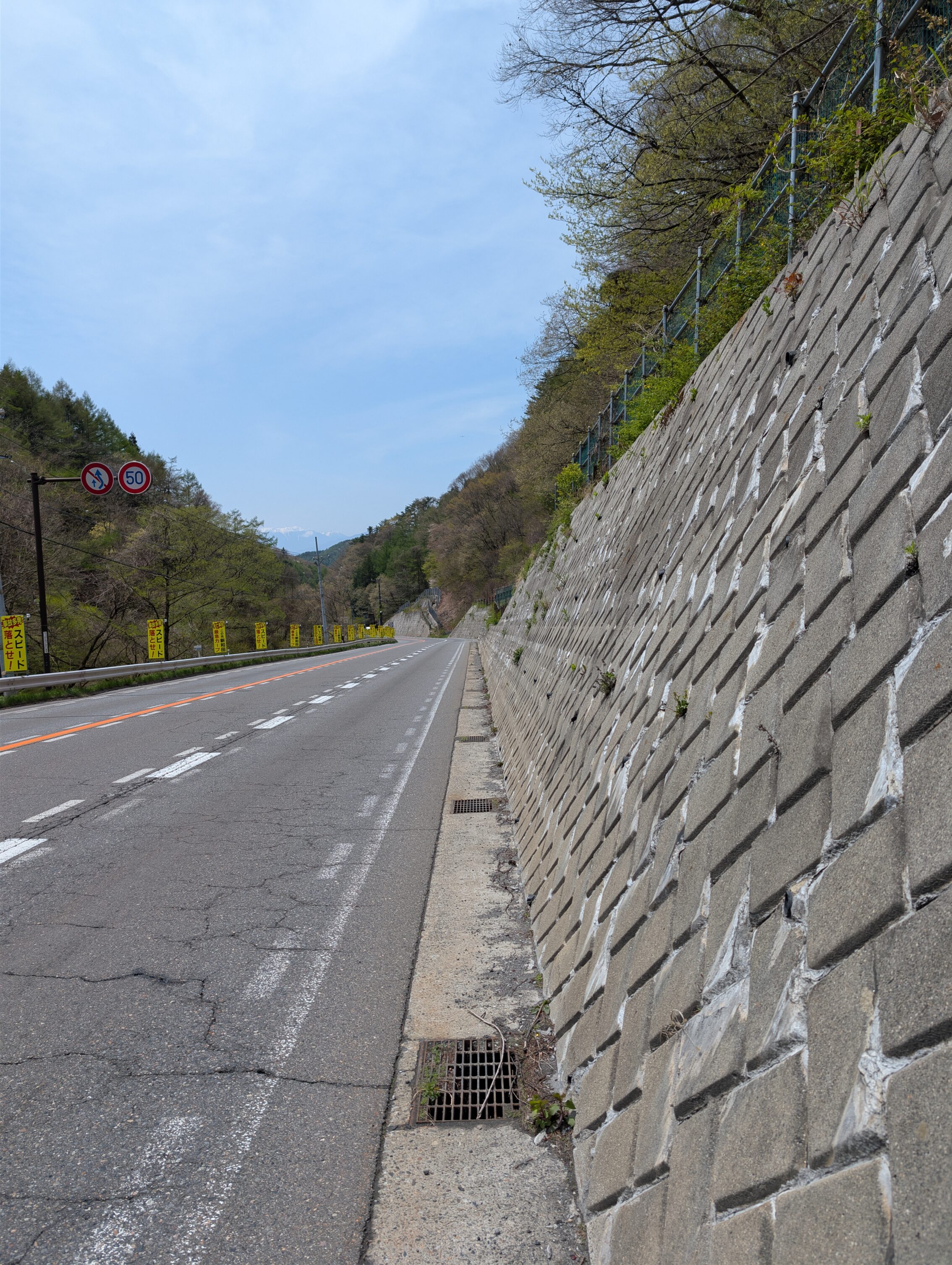
Another view. Maybe not as much of a fun one.
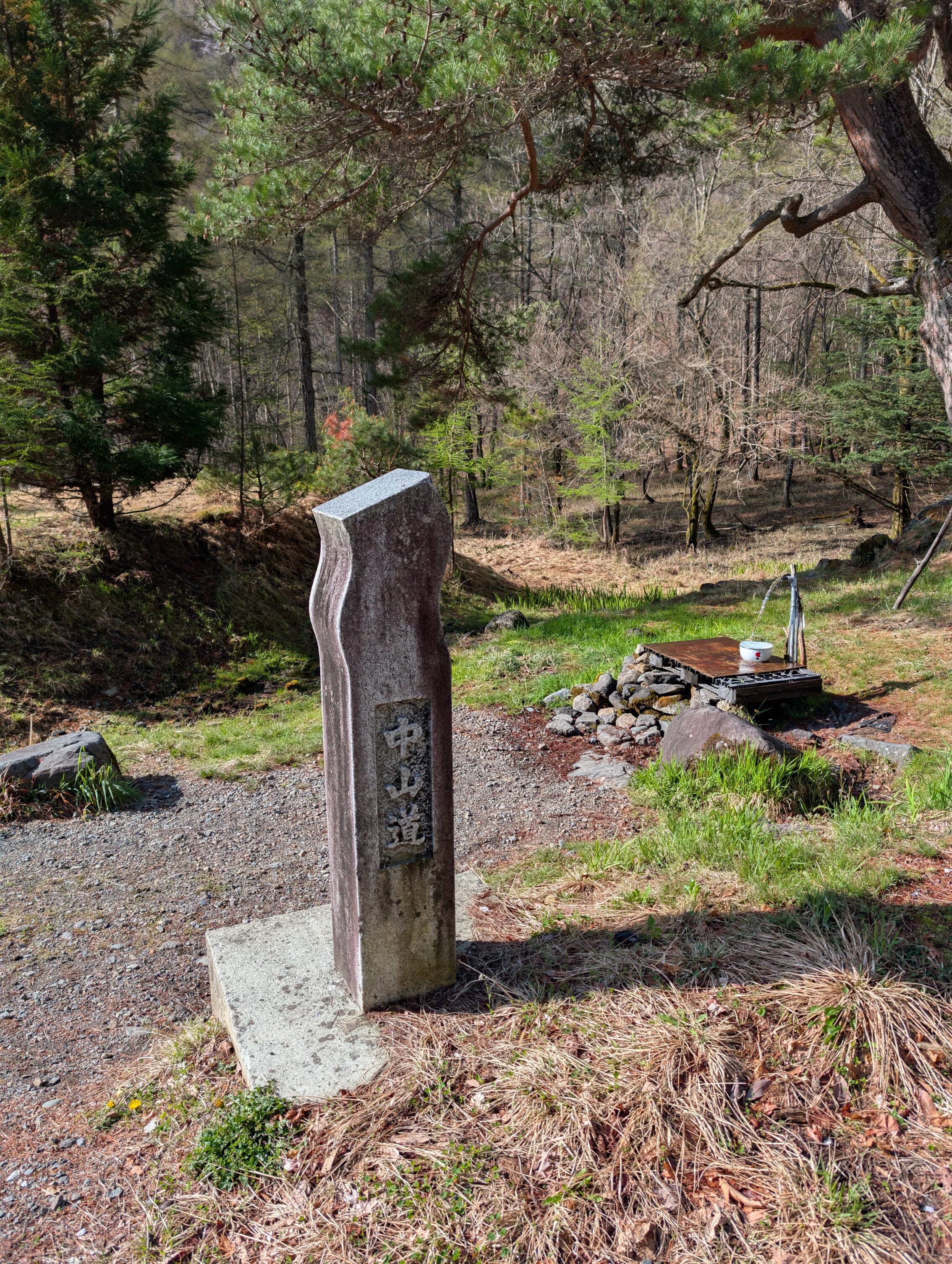
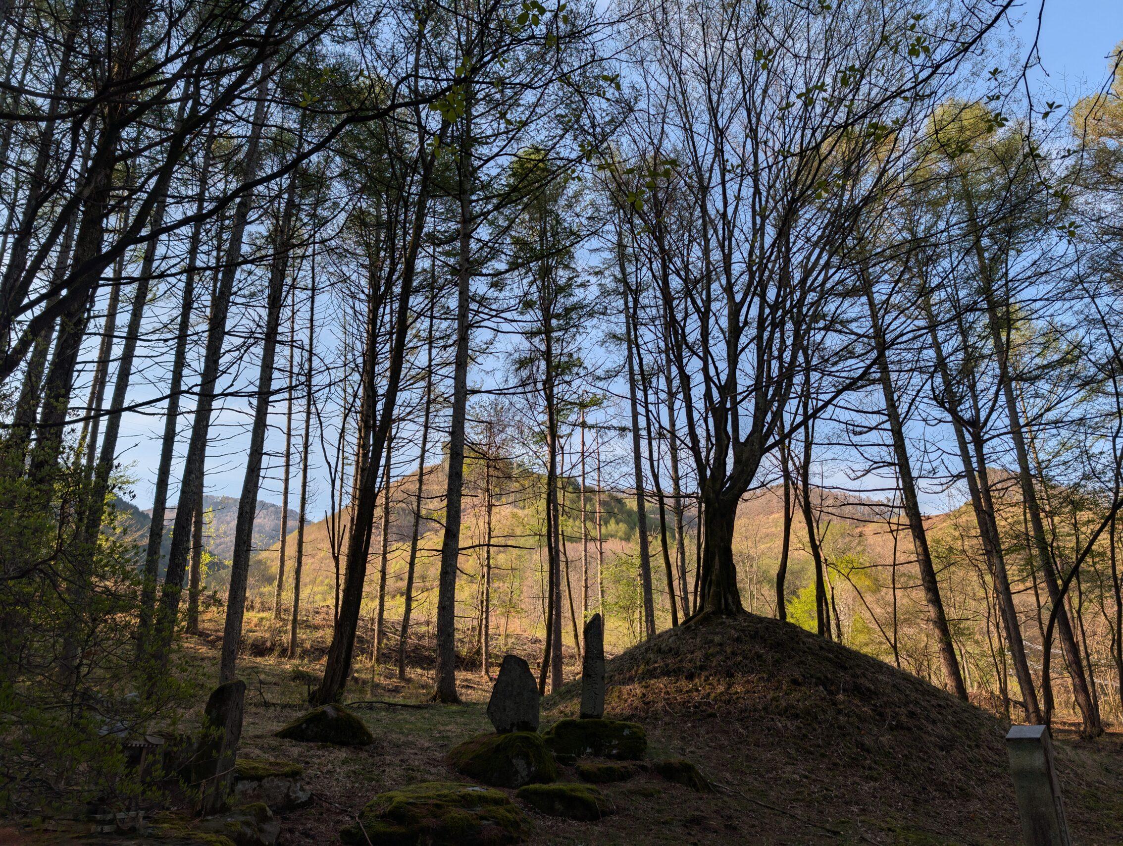
Milestones passed today.
The Kajiashi ichirizuka, stone markers
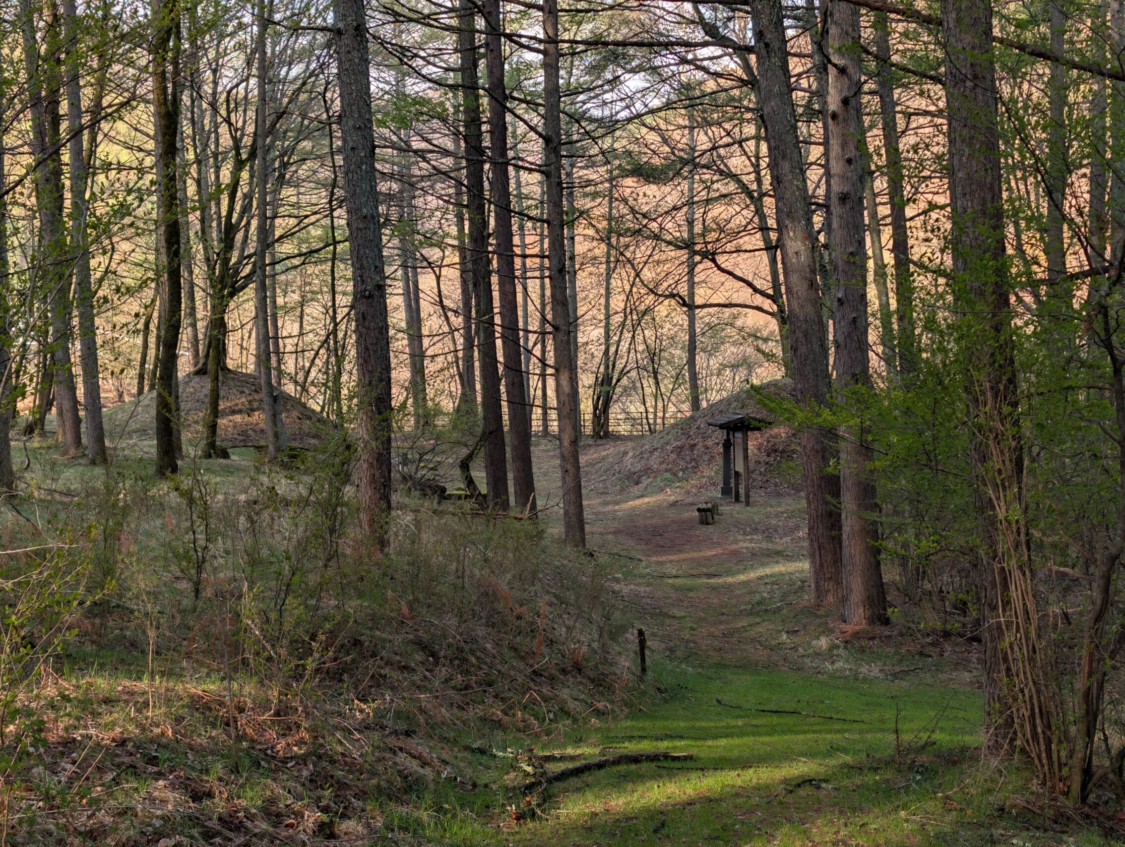
The Karasawa ichirizuka, both mounds intact
Hirohara ichirizuka, one mound intact
The Nishimochiya ichirizuka, nothing left but a stone marker that may be in the right position. Or not.
The Hibashi ichirizuka is not impossible to reach from the current layout of the path, but it requires a detour of a couple of kilometres. It turned out that I wasn’t that dedicated to seeing /all/ milestones. Also, there is nothing left of it but a small stone marker.
Shimosuwa ichirizuka, has nothing left, and there is some contention over both the name, and where it actually was.
Hiking today according to the map: 22.4 km.
Hiking today according to app: 23.3 km. I almost didn’t deviate at all today!


Leave a Reply