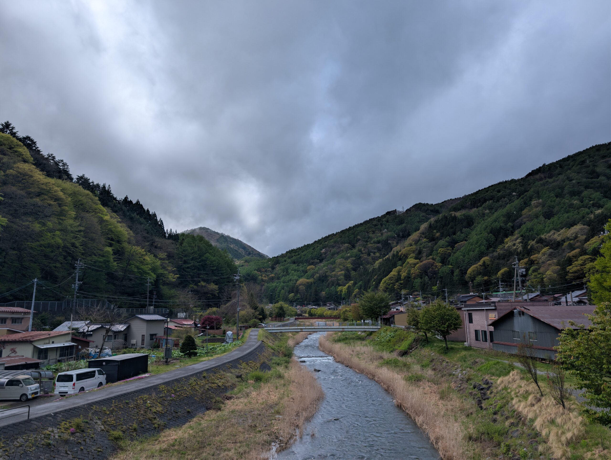
The path is mostly along the Narai river valley this day. Heading out from Seba-juku southwards deeper into the valley where the traditional Kisoji starts would have been a milestone in itself. Unfortunately it poured with rain. So while I trudged on along the river, I didn’t have the energy to explore all the small nooks and crannies of these post stations on the way towards Narai-juku.
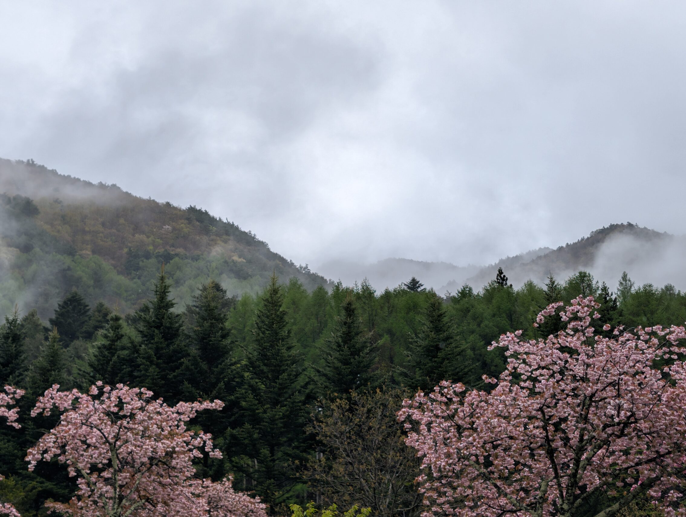
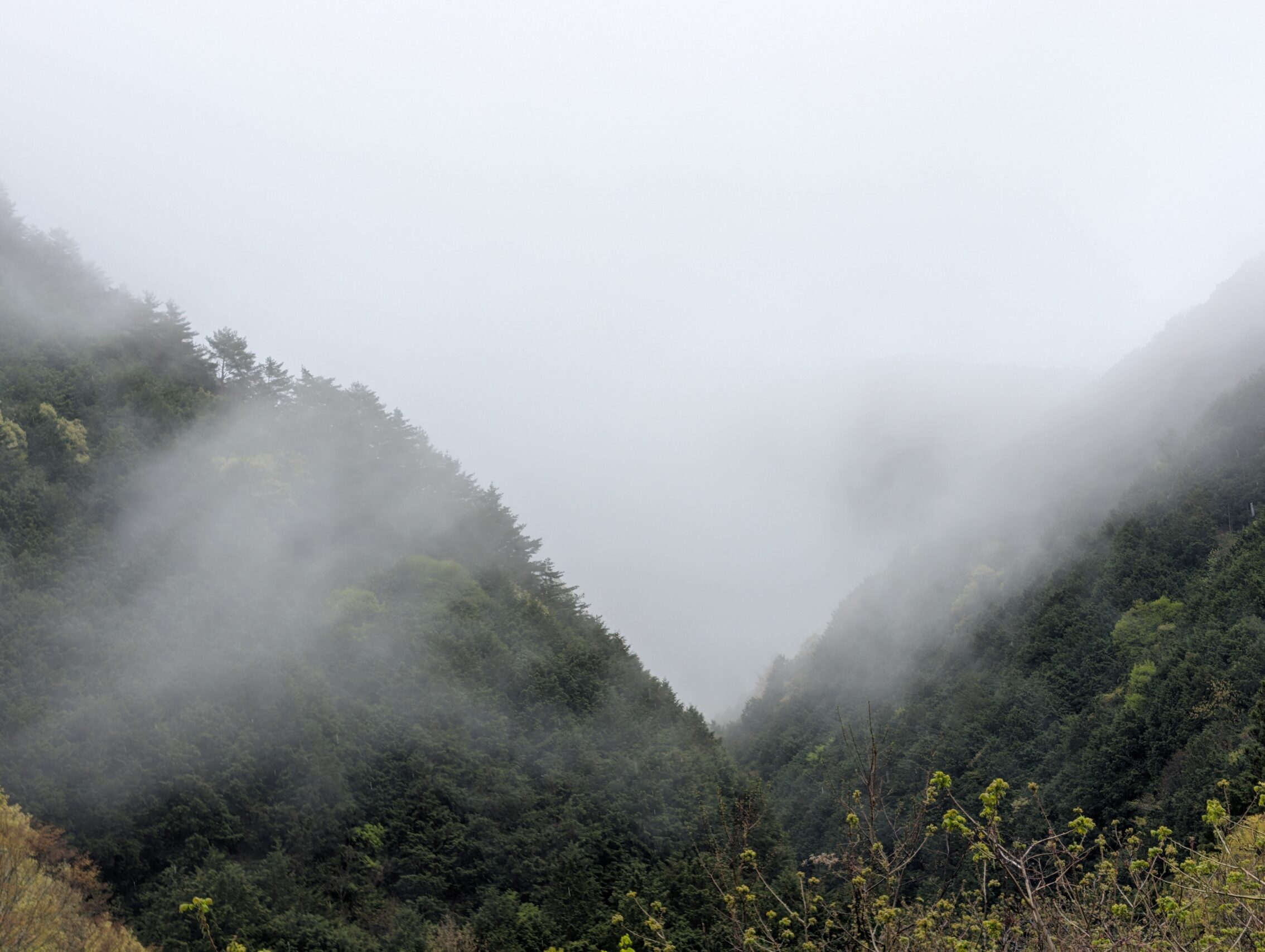
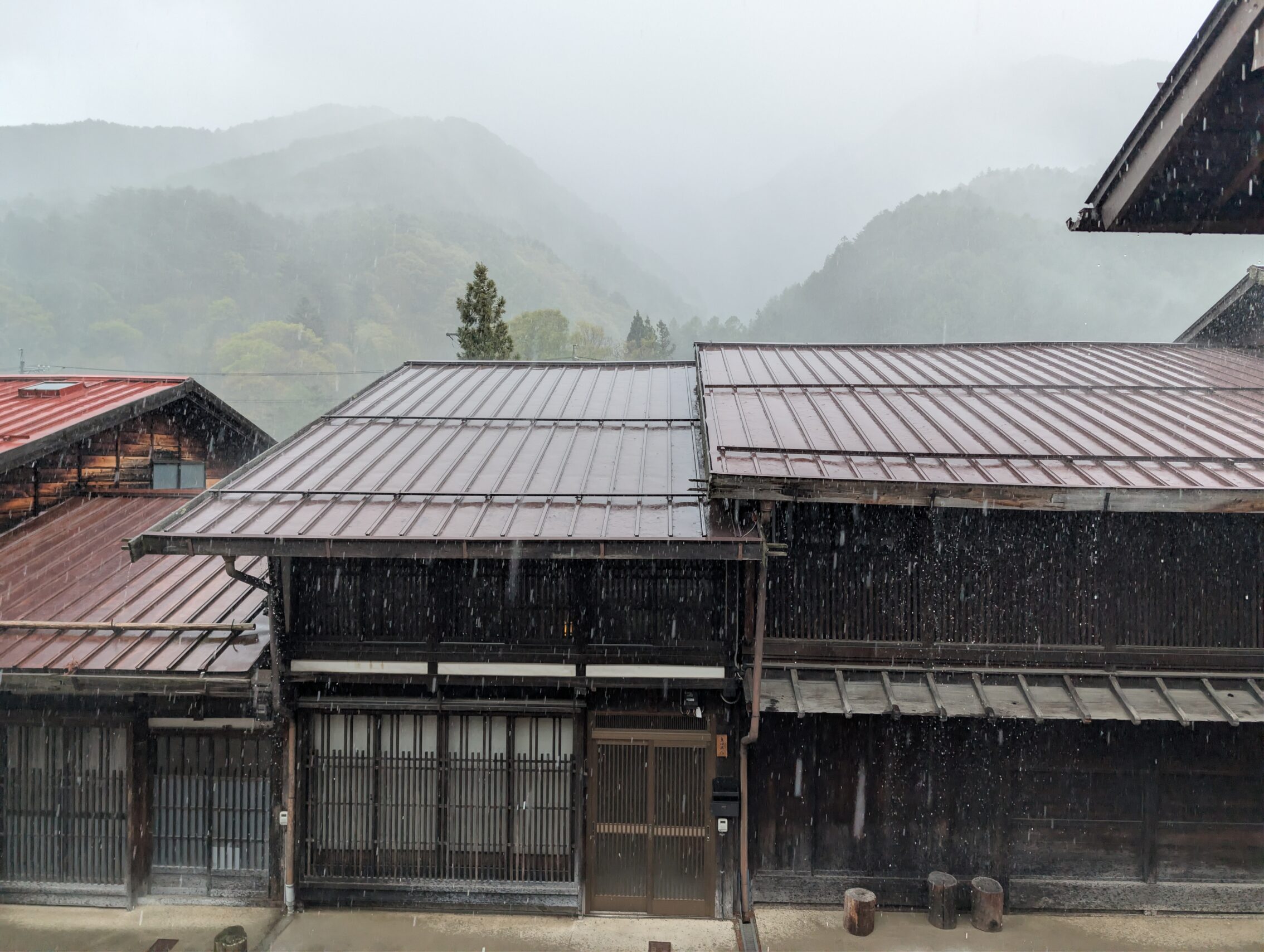
The rain wasn’t consistent, fortunately, but came in heavy showers every so often and sometimes I was able to snap a few photos of the surrounding mountains.
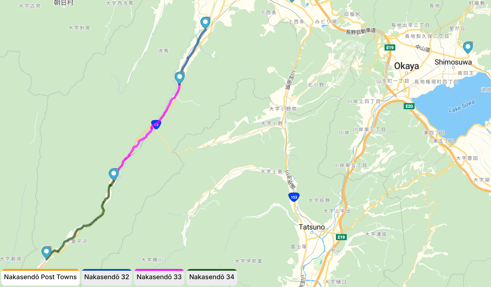
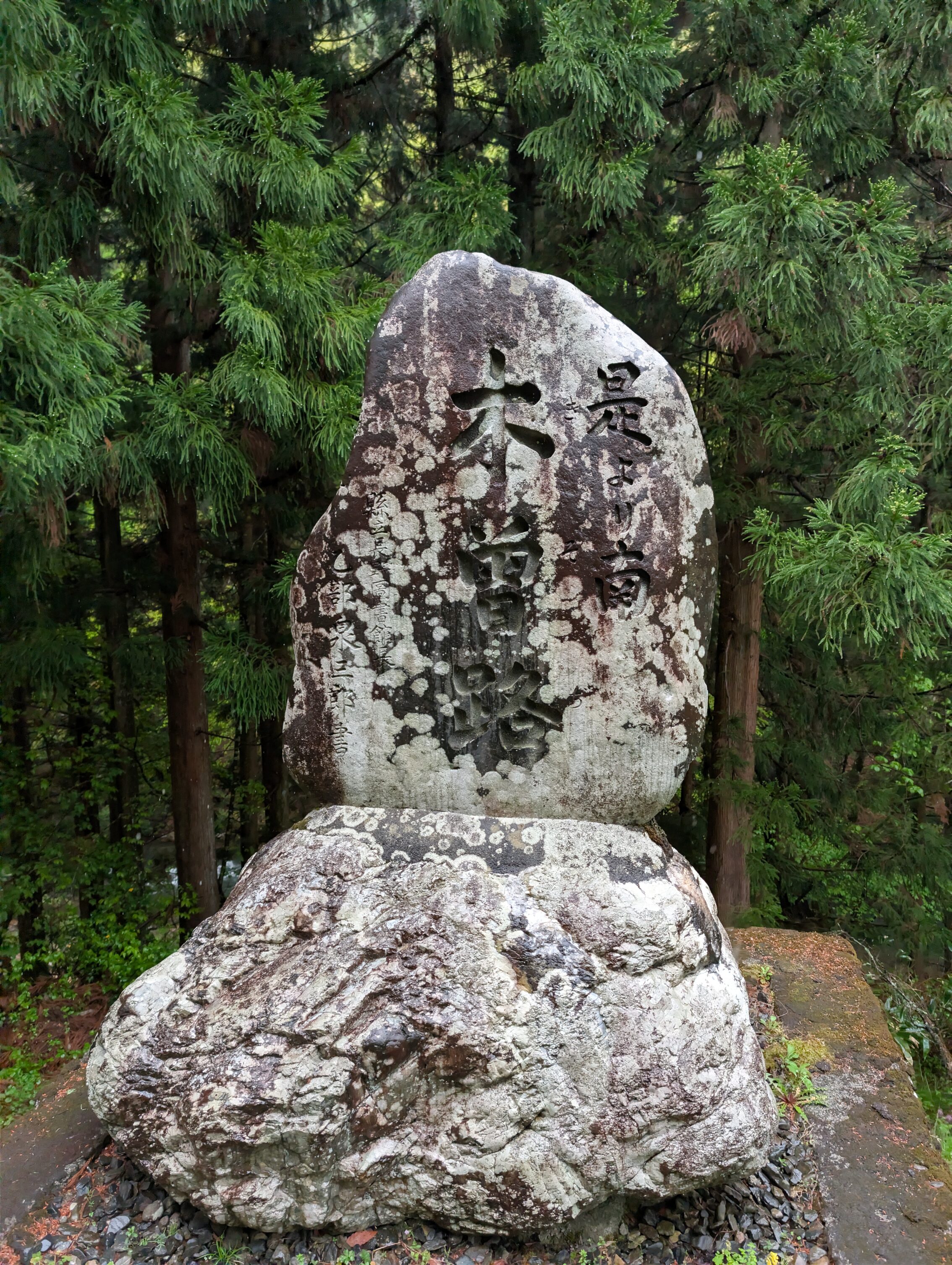
After passing the place where the Early Nakasendō joins in from Ono-juku, you almost immediately come upon the famous stone marker, “From here south, Kisoji”. The Kisoji is the old name for this part of the Nakasendō extending from outside Niekawa-juku to south of Magome-juku. This is the northern entrance to this valley. Or two valleys actually. Up until Narai-juku you are hiking along the Narai river. From there the course winds its way over the Torii pass (which I’ll cross tomorrow) into the Kiso valley, dominated by the mighty Kiso river. That river will then be an on and off again companion for many many legs of the journey ahead.
Niekawa-juku had an auxilliary sekisho, that is a gateway where they checked for guns and other weapons getting in to Edo, and for women trying to run from Edo. The main sekisho in the Kiso valley is in Fukushima-juku, a bit further south.
The town of Kiso-Hirasawa wasn’t a post town, but it is here that the centre of urushi lacquer craftmanship is. Urushi is the sap from the Chinese lacquer tree, a highly allergenic substance that when applied in thin layers to mostly wooden objects create a lacquer with a fantastic sheen and quality.
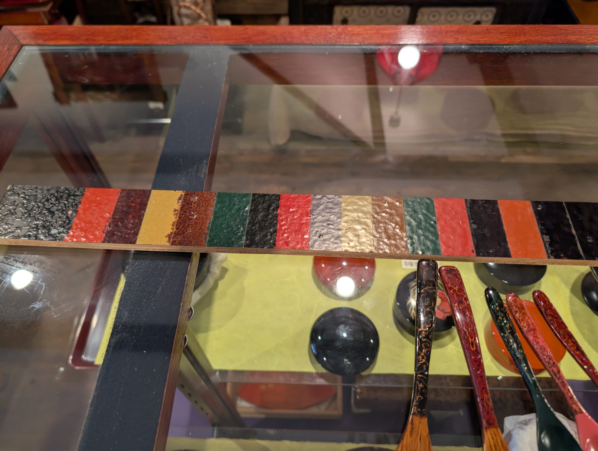
I didn’t get a great picture of any bowls or chopsticks etc, but this magnificent stack of boxes felt like a must-have. Except I can’t carry it, and it cost almost as much as the rest of this trip…

Someday I might come back here while not backpacking… then, my precious.

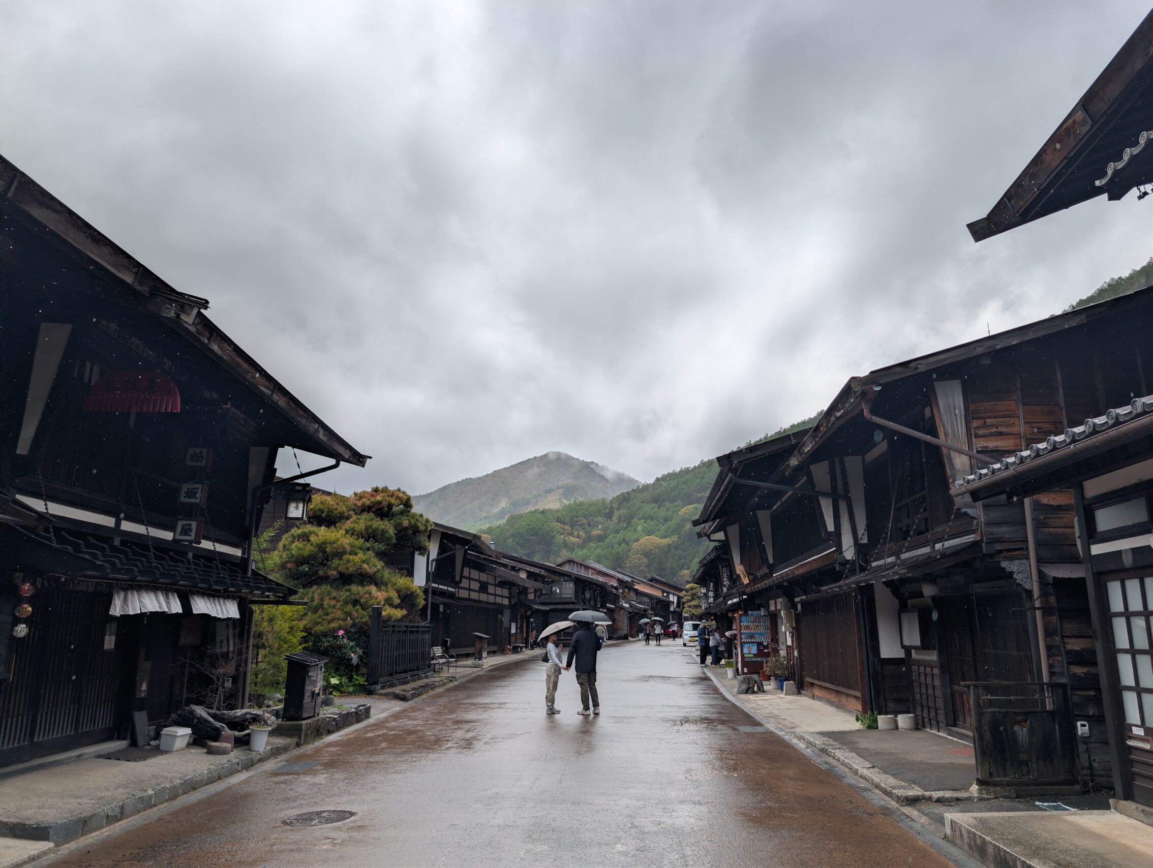
Narai is a stunning little post town, with hundreds of houses from the Edo period still present, and in excellent shape. The town doesn’t feel too “touristy” either although there are a few bric-a-brac shops, most seem to cater to traditional art and crafts.
But the rain wouldn’t let up, unfortunately. But now I was safely ensconced inside my small ryokan.
Hiked today according to the map: 18.5 kilometres.
According to the app: 19.4 kilometres.
Milestones passed:
The Hinodeshio Ichirizuka, is just a sign.
The Wakamiko ichirizuka has one mound left, up on a bank above the highway.
The Oshikomi ichirizuka has a stone marker.
There is a lot of contention about where the Hashido ichirizuka actually was, with a lot of sources claiming it was across the Narai river from the current layout of the path. But as the official path changed alot over the years because of floods, mudslides and rocks falling etc, this might not be unreasonable.


Leave a Reply