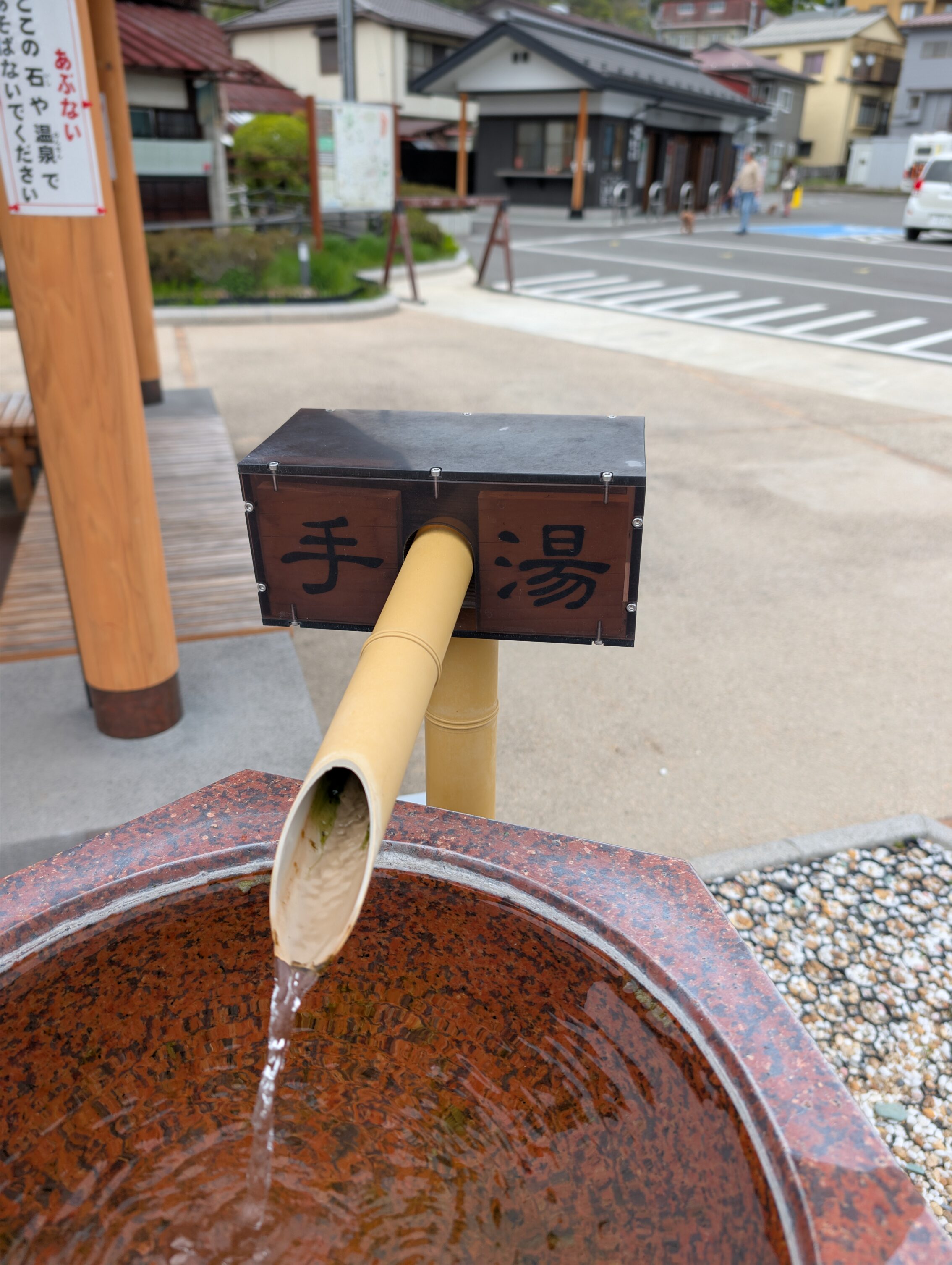
Shimosuwa-shuku is an interesting place. It is situated right on the north shore of the rather large lake Suwa, and it has an utter abundance of natural hot springs. It even has so many hot springs that there are several places (eight according to a brochure I found) in the centre of town where there are water spouts with naturally piping hot water just pouring out onto the street. People have also, quite naturally taken advantage of the overflowing amount of hot water in town, and have built a large number on onsen, in and around the town and the lake.
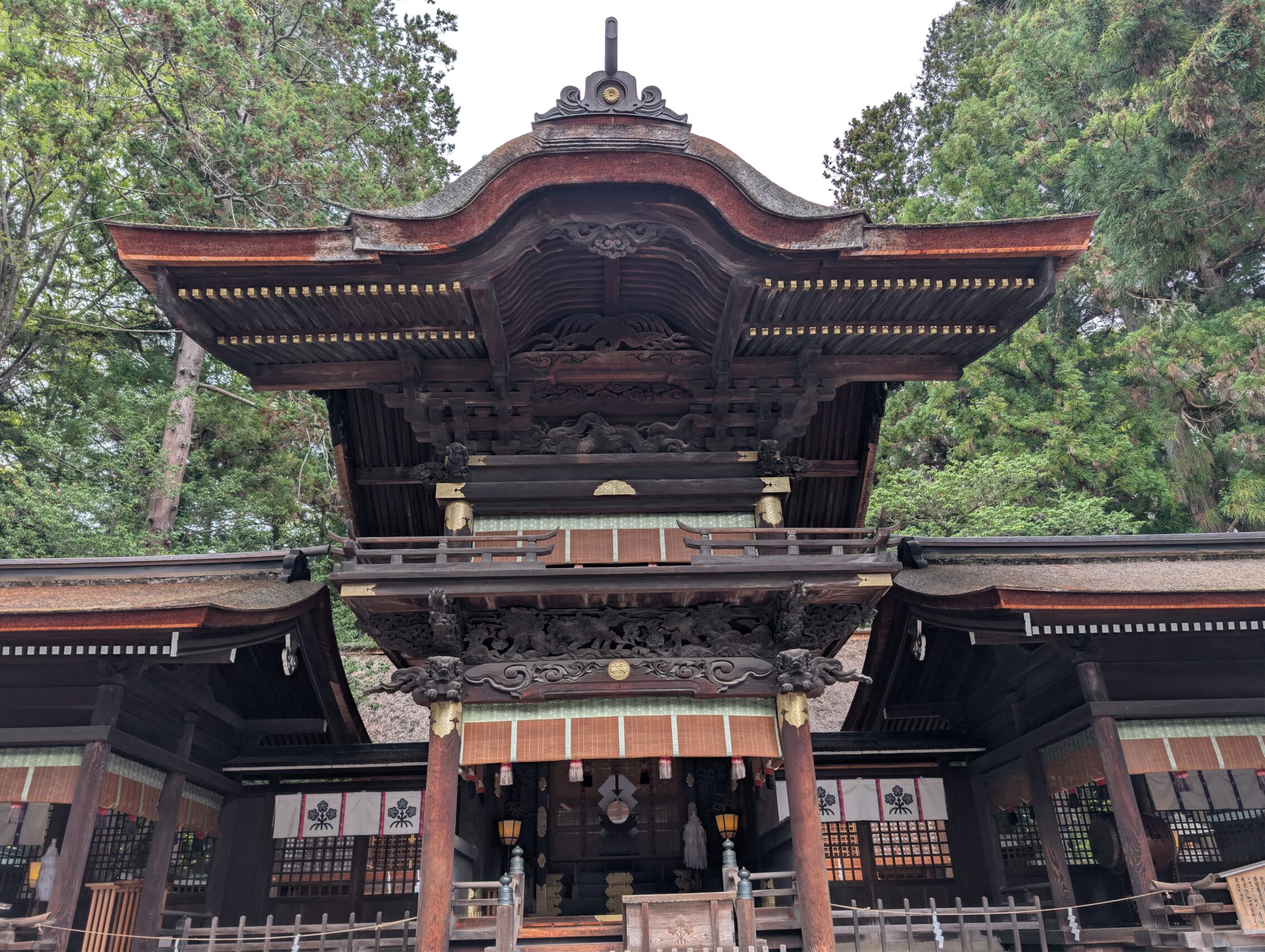
In addition to that there are a couple of very famous temples in the old post town. The Suwa Taisha Shimosha Harumiya (the spring shrine) is just north of it, as you enter the post town from the Wada pass. In the middle of the post town you can find the Suwa Taisha Shimosha Akimiya (the autumn shrine). There are two corresponding temples on the south side of the lake. These are not called the summer and winter shrines though.
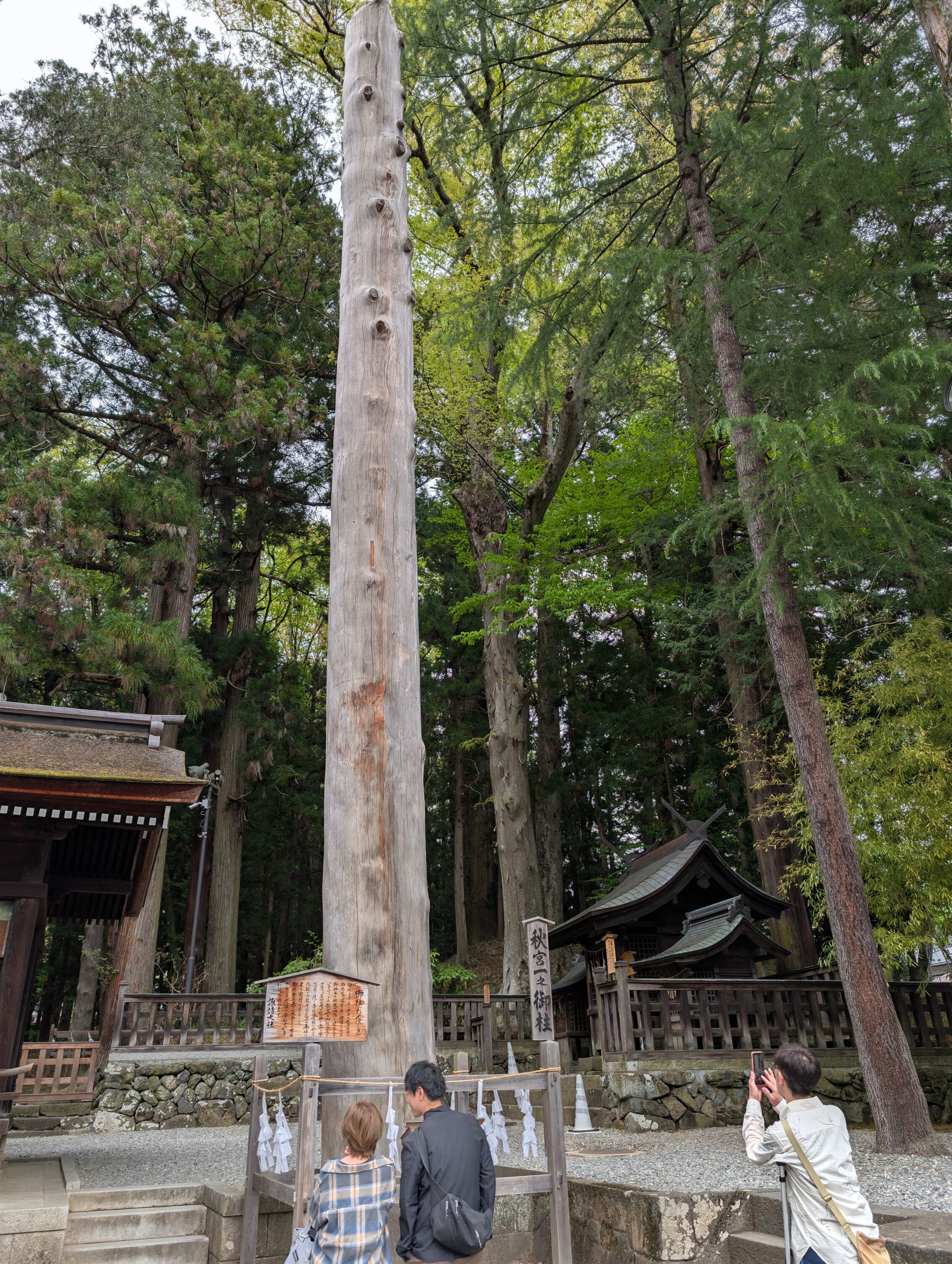
Remember the crazy game they play with riding the logs every so often in Shimosuwa? They do so with four different logs each time. One log for each of the main temples around the lake. These logs are then on display, one in each temple.
Finally, Shimosuwa is also the end-point for another of the five main roads from the Edo period, the Kōshū Kaidō.
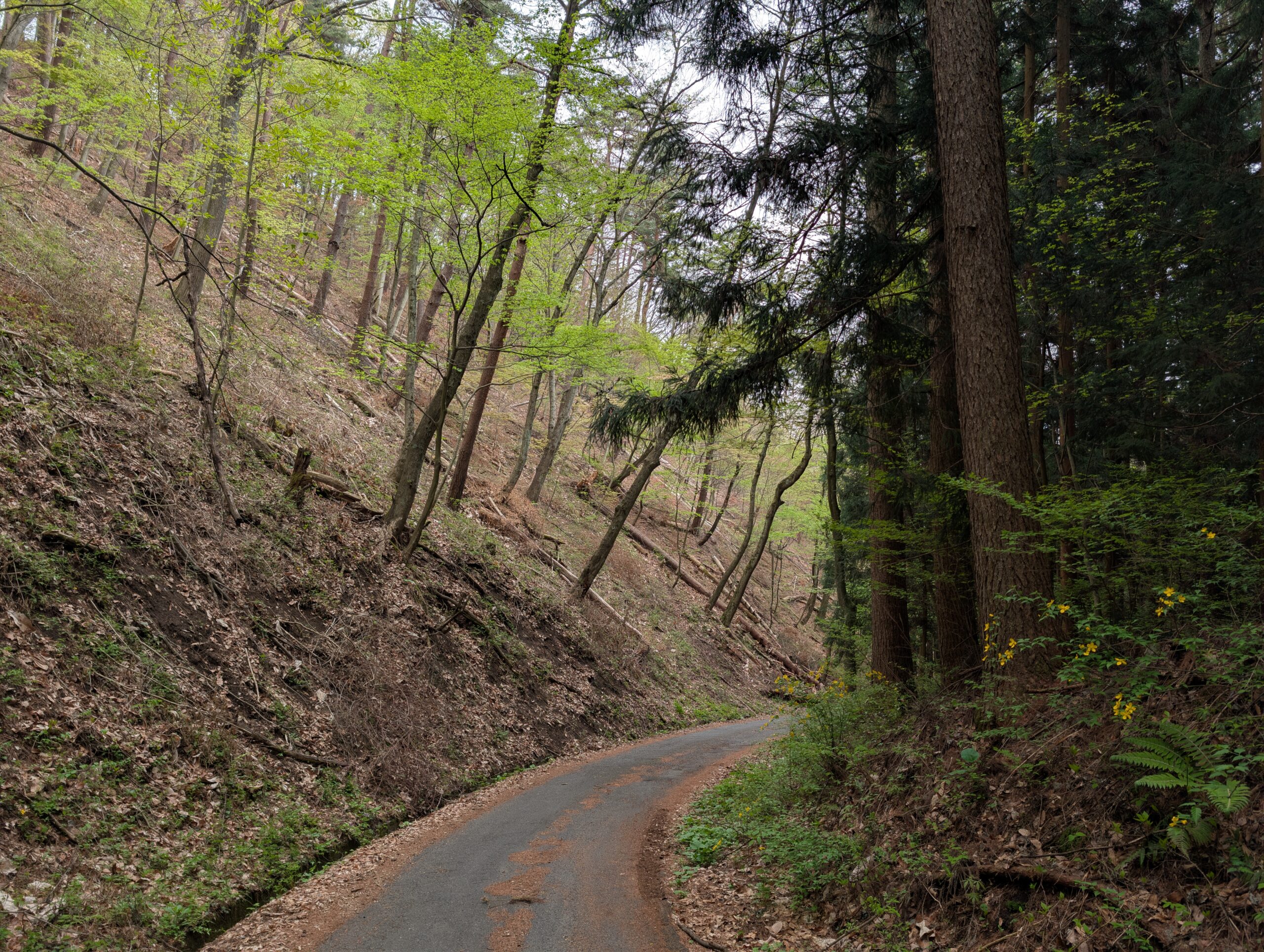
Anyway, the hike of today as I left Shimosuwa headed straight up the Shiojiri pass. As with all the other passes I have crossed in the last few days, I was very grateful for modern hiking boots, good hiking poles, and a backpack that feels like it’s practically molded to my back. I am in awe of the people who did these climbs using only equipment from 19th century and earlier.
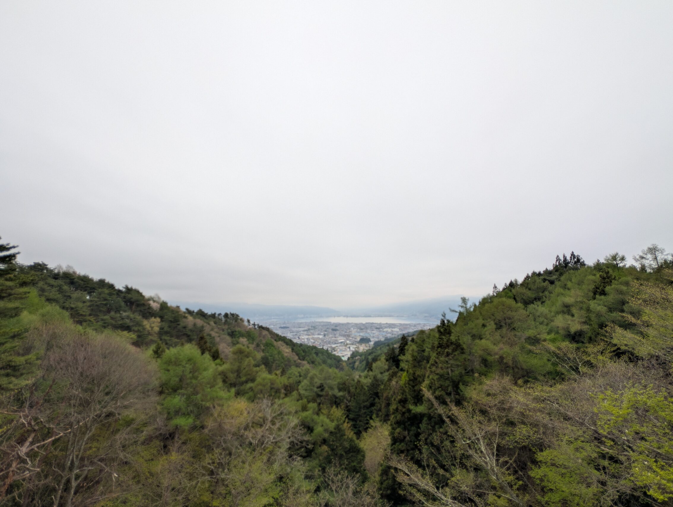
Just to the north of the top of the Shiojiri pass is a lookout tower. It has some spectacular views back towards lake Suwa and the mountains in the distance.
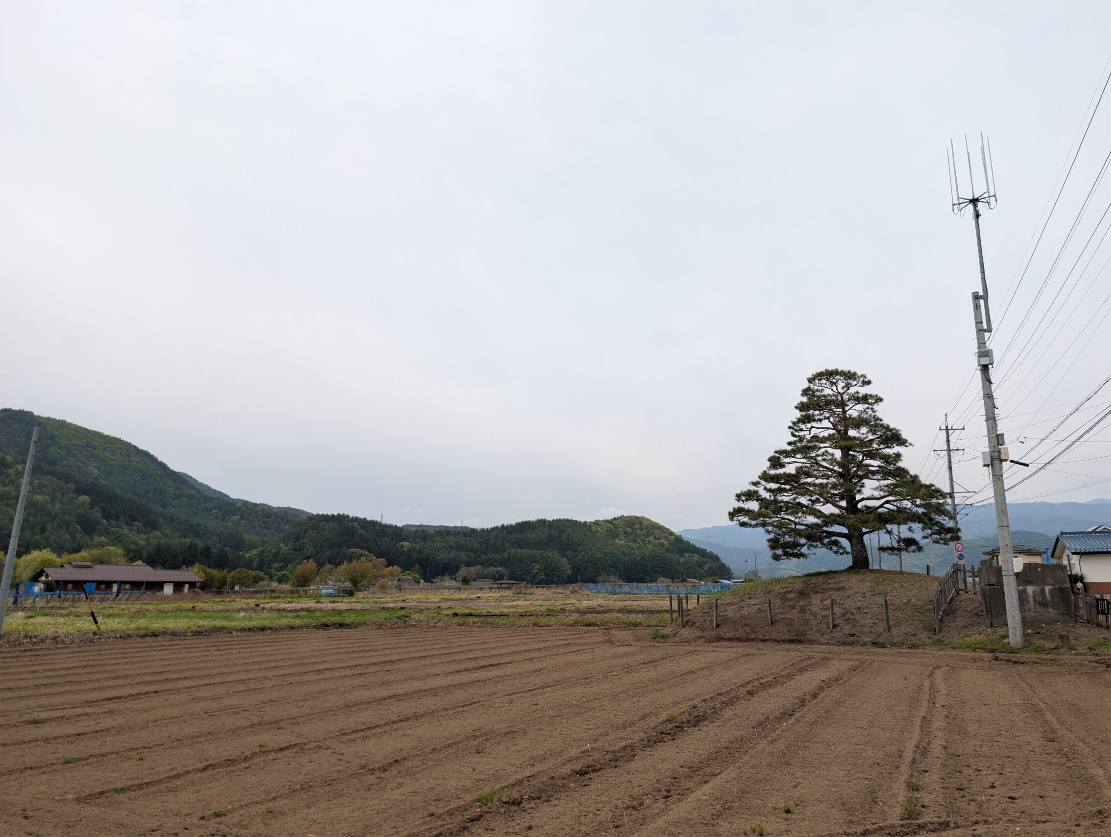
After going through the busy Shiojiri-shuku and heading towards Seba-juku, you pass the Hiraide ichirizuka which gives a perspective on how useful these things were. It is situated on the plain where the Narai river flows from the mountain, and in this flat landscape the milestone is visible from very far away. I imagine that this is what it must have looked like on the plains north of Tokyo as well.
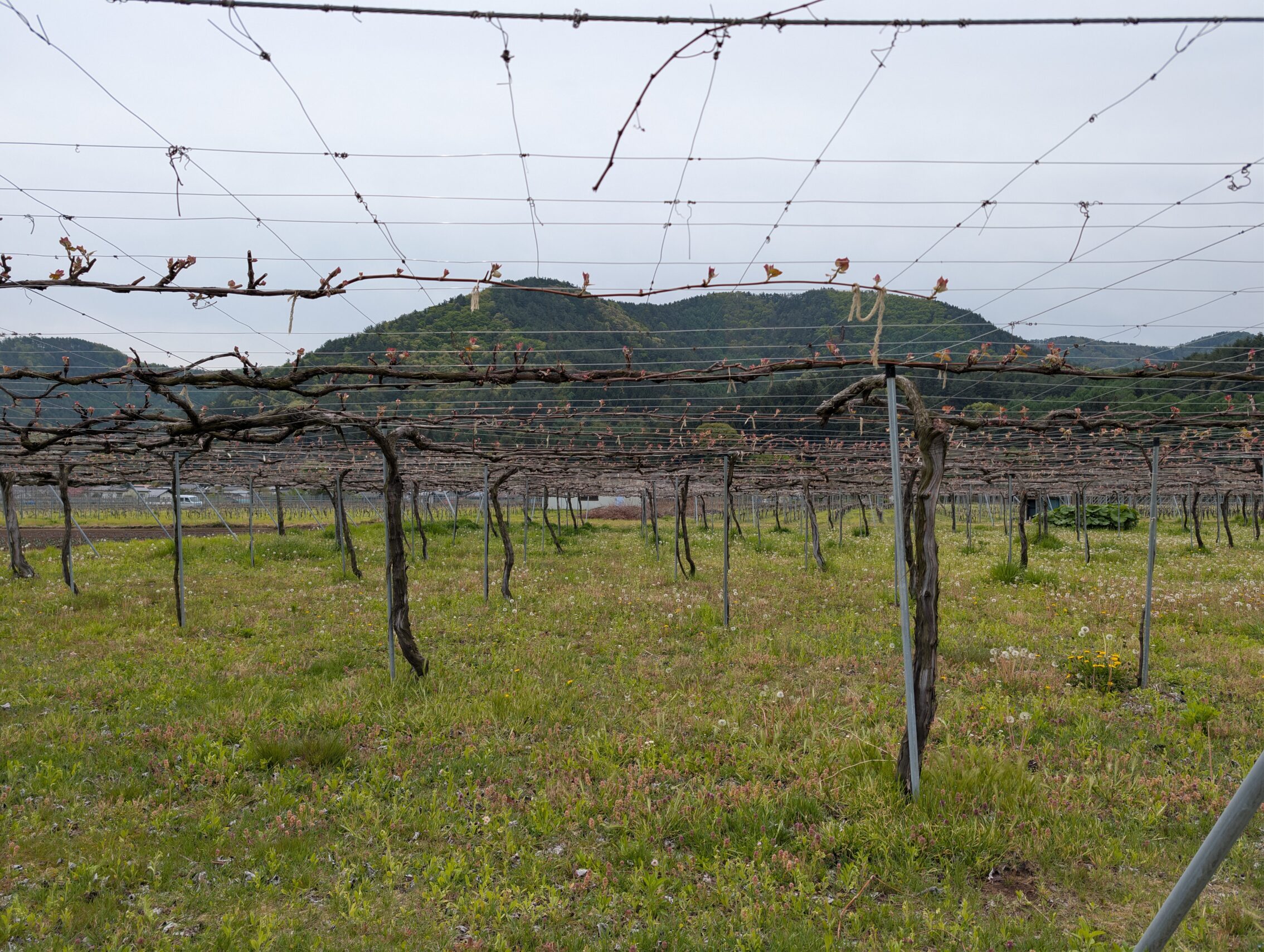
The area around the river Narai is also very fertile, and is the epicenter of one of the few wine regions of Japan. The area is also chock-full of other types of orchards.
Seba-juku is a small and very sleepy little town with next to nothing left from the Edo period. Everything has been destroyed by fires.
Milestones passed today
The Higashibori ichirizuka has a stone marker.
The Higashiyama ichirizuka has a mound left
The Kakizawa ichirizuka was just outside Shiojiri-shuku, but is but a stone marker today. This was also the place where the salt road, the Sanshū Kaidō headed south from the post town. That road led to Okazaki-juku on the Tōkaidō, one of the other main roads during the Edo period. (You’ve likely heard more about the Tōkaidō than the Nakasendō before. It is the most famous of the roads.)
The Hiraide ichirizuka, as mentioned above.
Distance according to the map: 18.3 kilometres:
My app claims I’ve walked this far today: 22.8 kilometres.
Tomorrow I’ll finally head into the Kisoji, the heartland of the Nakasendō.


Leave a Reply