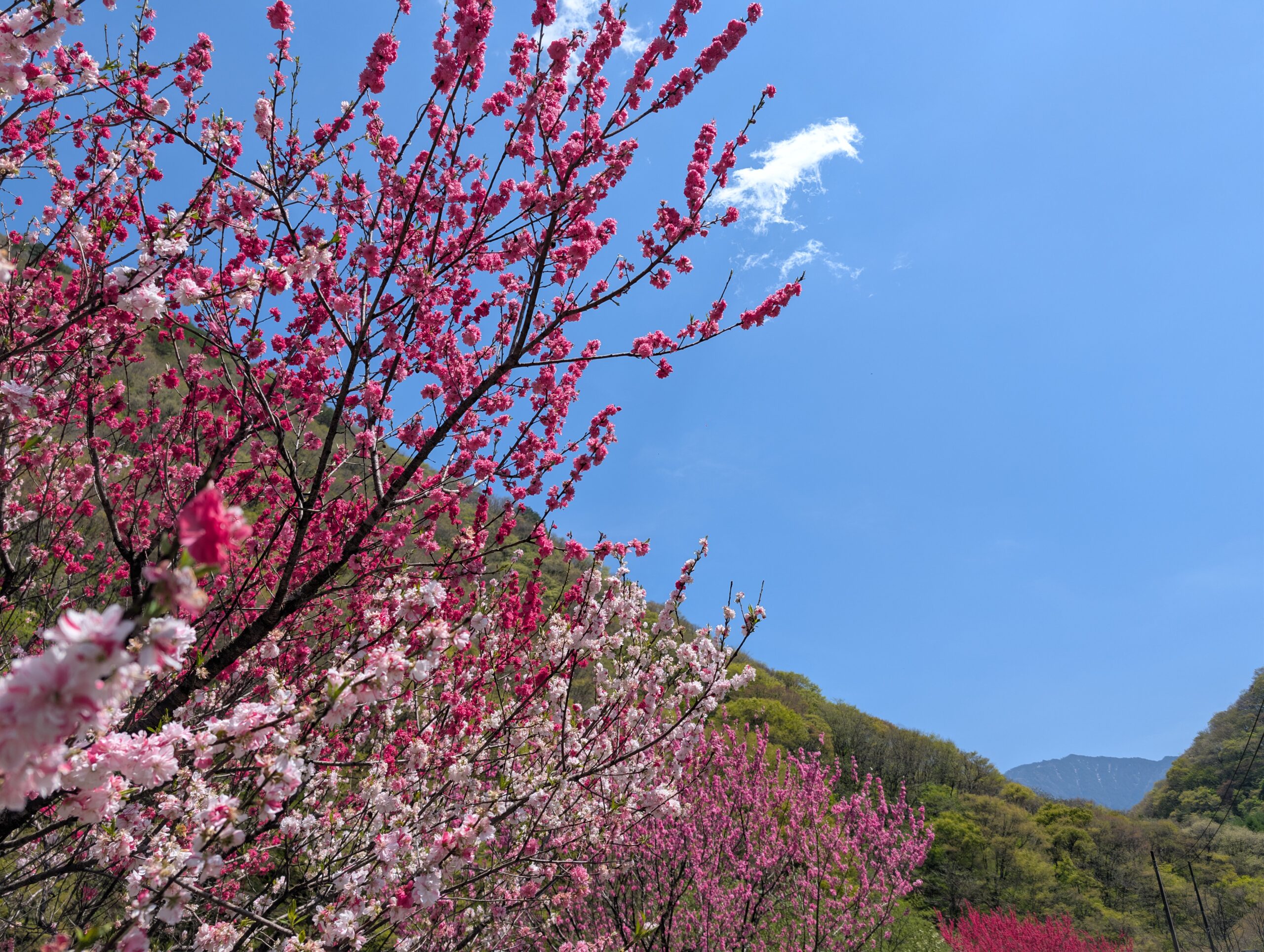
The hike of the day had two main themes: the Torii pass between Narai-juku and Yabuhara-juku; and the Kiso river. The first leg for the day was “just” the hike from the Narai river valley across the ridge and down into the Kiso river valley. The Narai flows north, and the Kiso flows south, so with every step towards Narai-juku, the river had gotten smaller. With every step along the Kiso river from here on, it will turn into not just a river in a mountain, but one of the major rivers in Japan.
The Torii pass is named because of the warlord Kiso Yoshimoto. Before a decisive battle during the Warring Period in Japan he prayed for victory at the top of this mountain pass in sight of Mt. Ontake. He proceeded to win the battle, and in deference to his prayers, he built a shrine at the top. It has been called the Torii pass ever since.
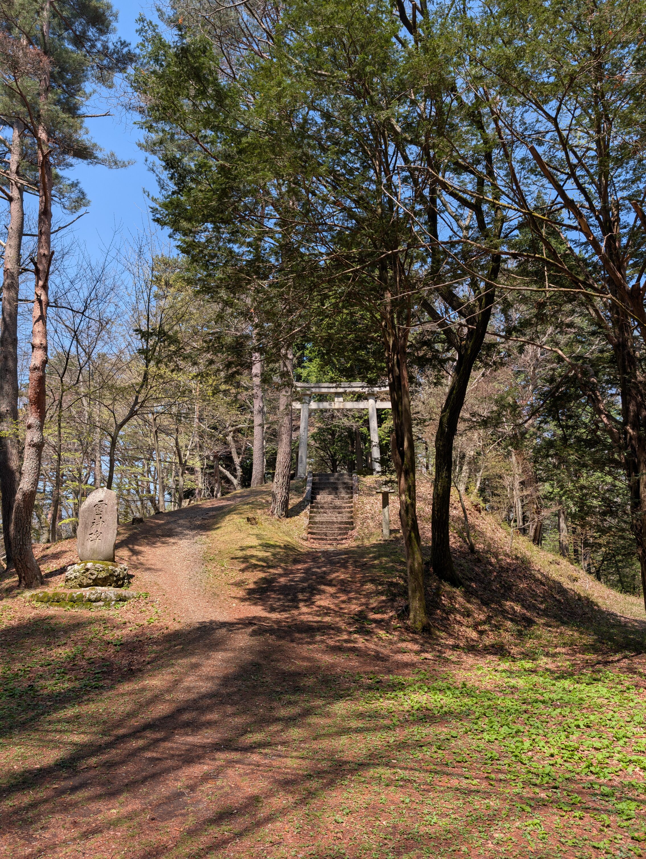
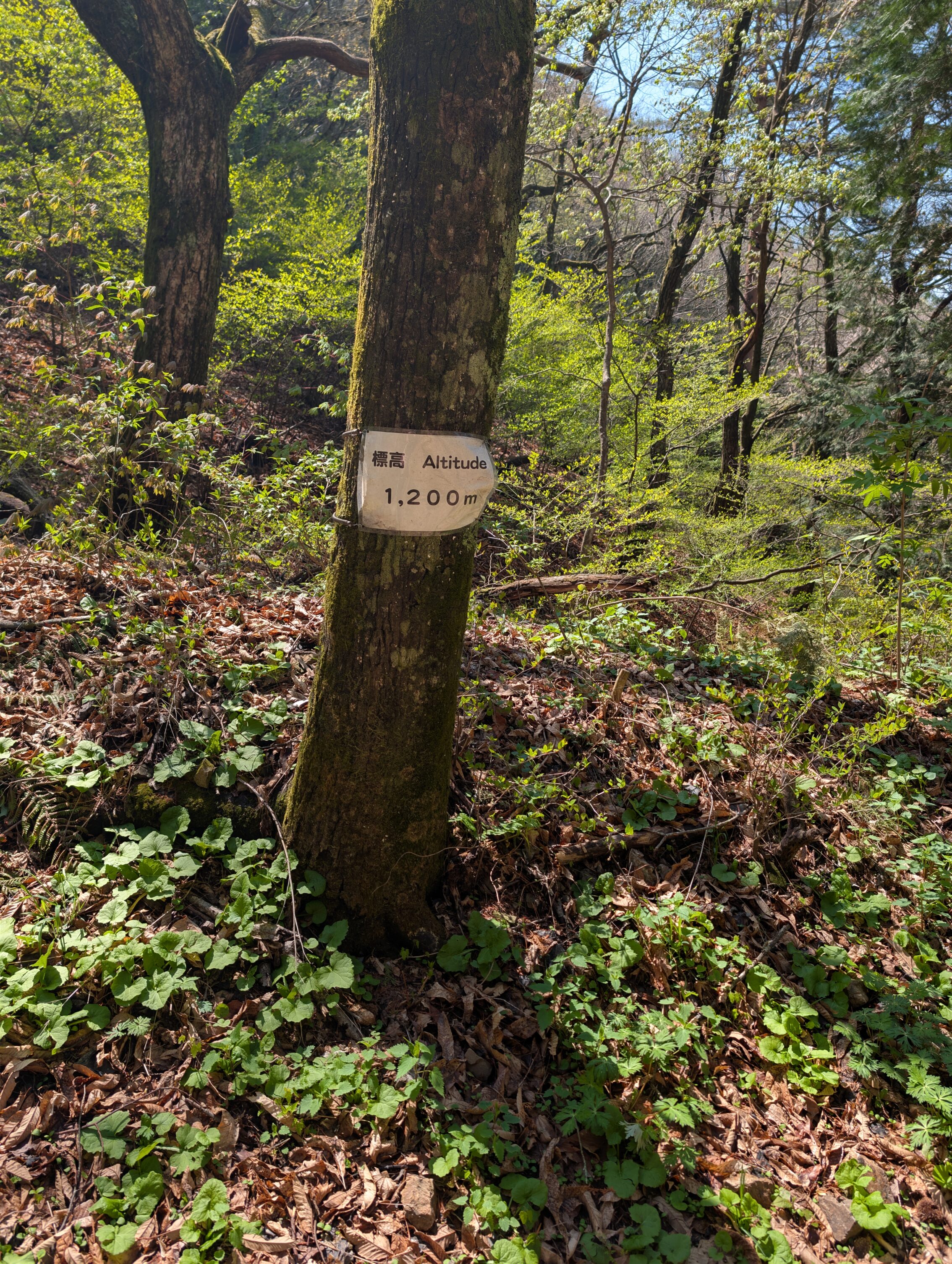
The hike itself across the ridge is at times very steep and is a about a 300 metre vertical climb, but the path is at least clearly marked and rather easy to follow even though most of the signs aren’t pertaining to the Nakasendō specifically.
You are also joined by a host of other people hiking in both directions. This is a popular hiking area in general, and the Torii pass gets a lot of attention in particular because of its proximity to Narai-juku, and because the story about the warlord is something Japanese children learn about in school. Along the path are also a number of mounted bells for hikers to ring that tells the bears that dinner is served. I mean to notify them that humans are about.
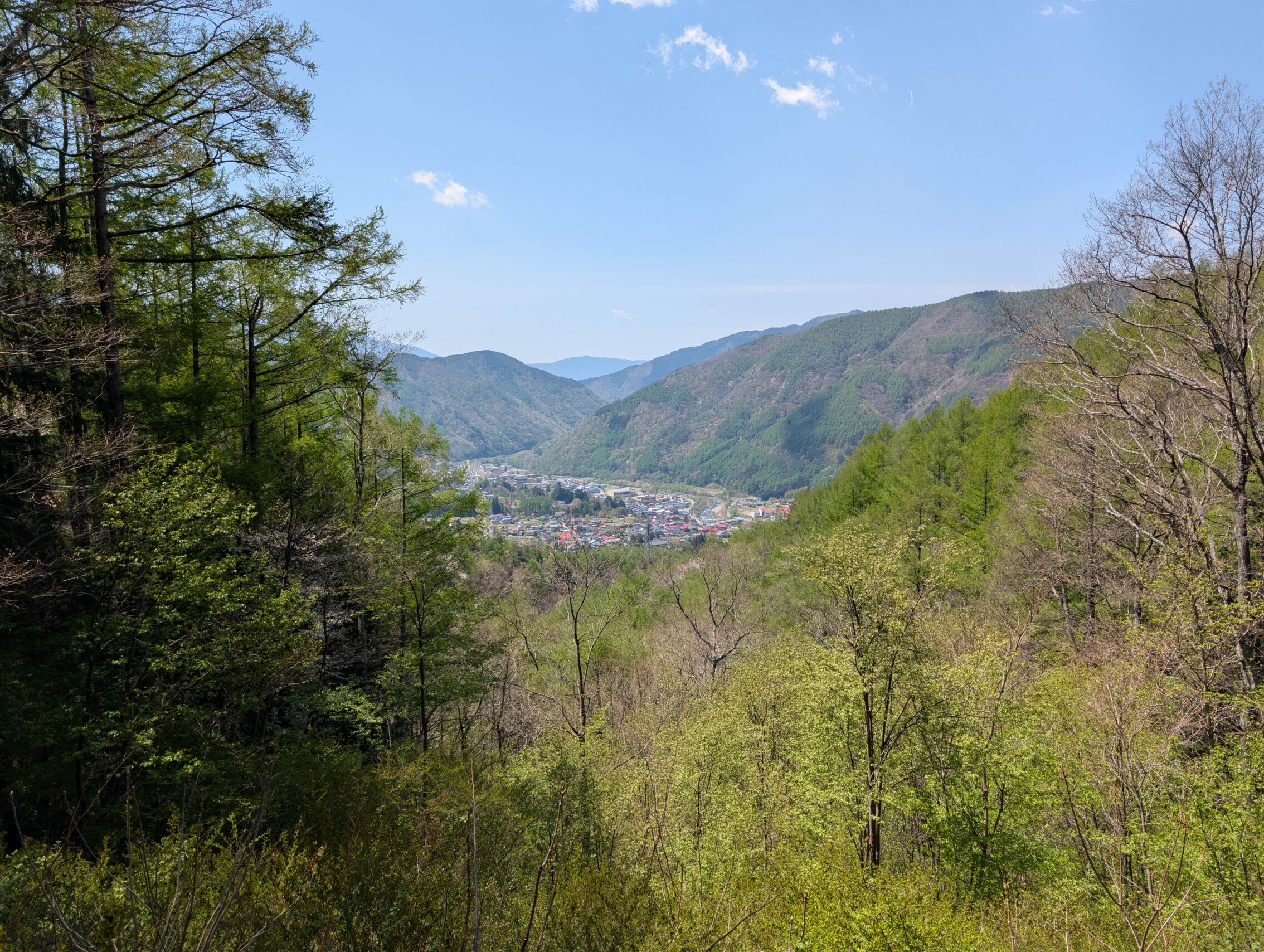
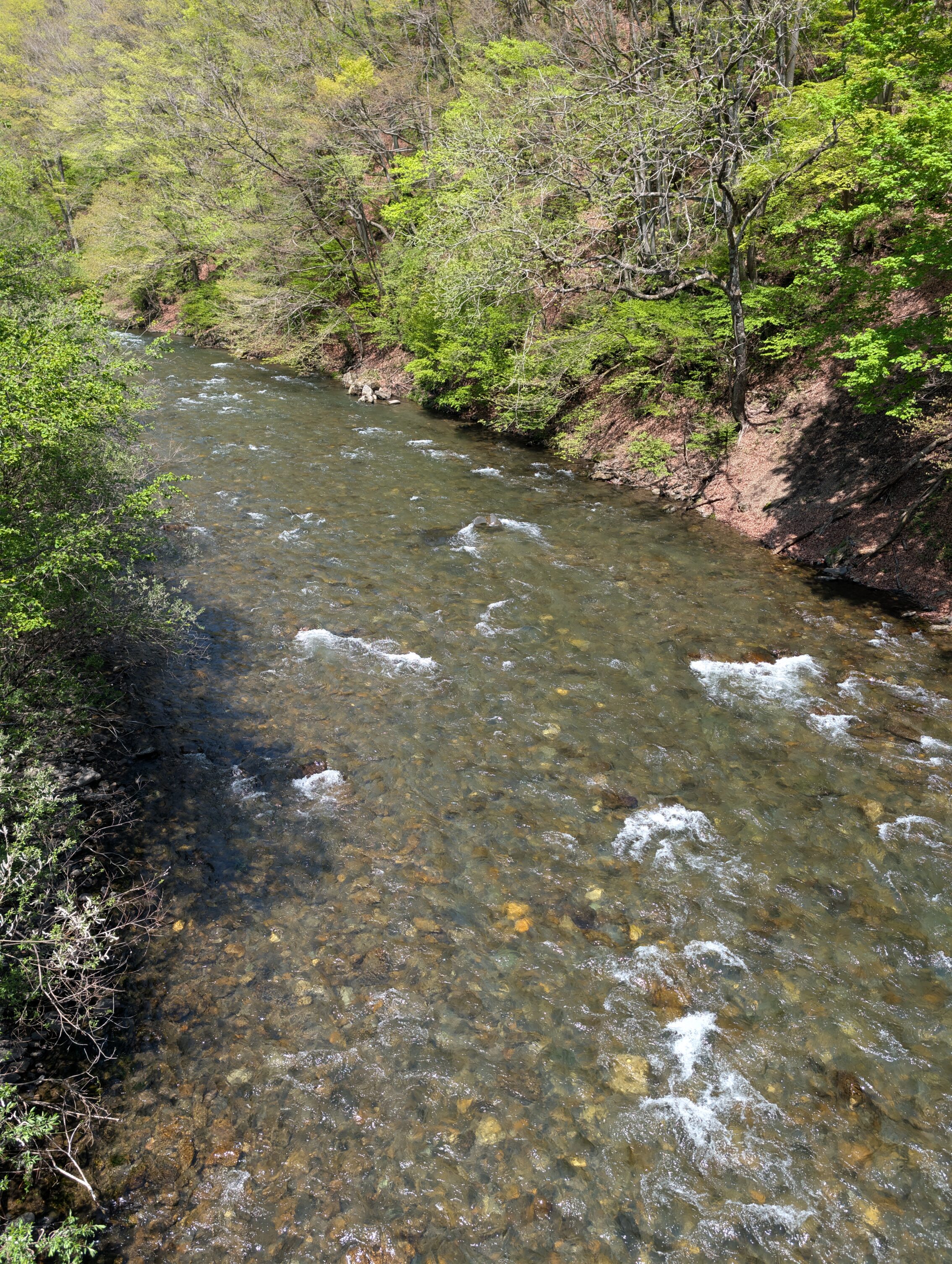
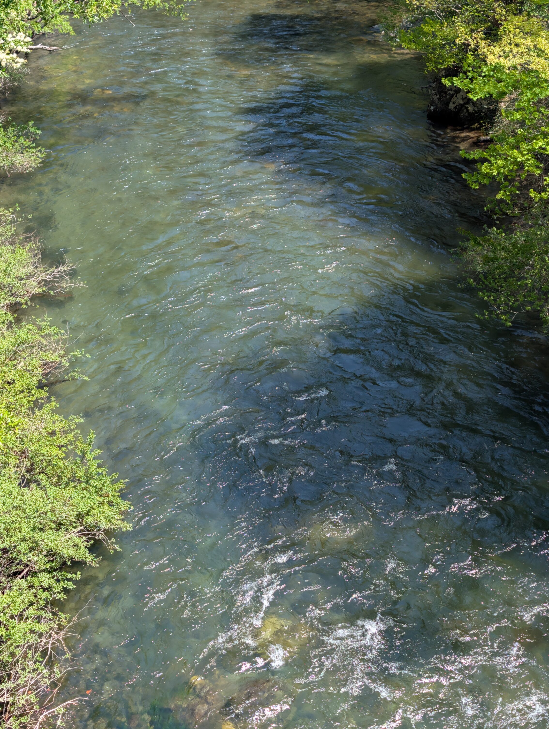
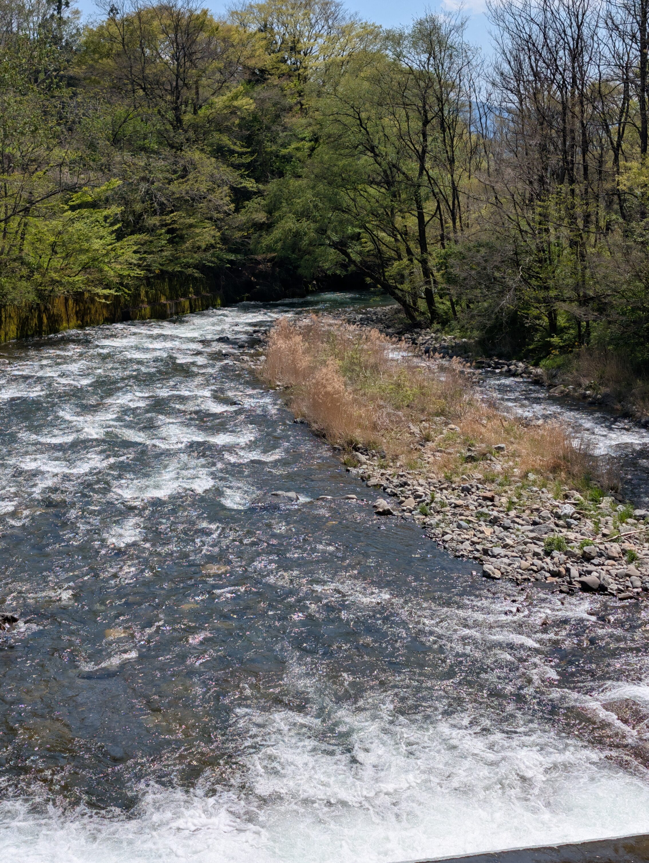
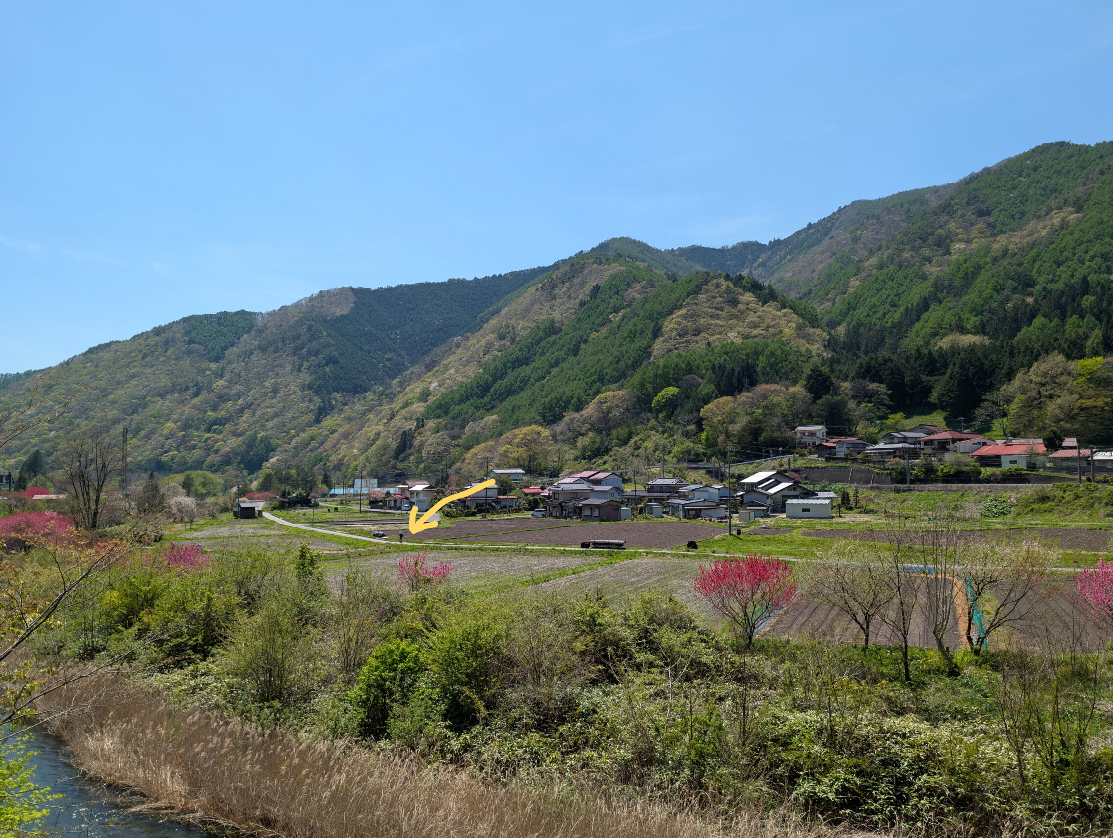
On the way down in the Kiso valley you get your first glimpse of the Kiso river.
Yabuhara-juku is a charming village, but it’s a bit unfair to just have seen Narai-juku. It’s difficult to compare the overwhelming amount of preserved history in that post town. They do have an interesting exhibit, in an old steam locomotive that’s on display right next to the Yabuhara ichirizuka. It is a very stark reminder that railroads were one of the main contributing factors to the decline of the Nakasendō and the other kaidō.
The path crosses the Kiso river a whopping eight times between Yabuhara-juku and Miyanokoshi-juku.
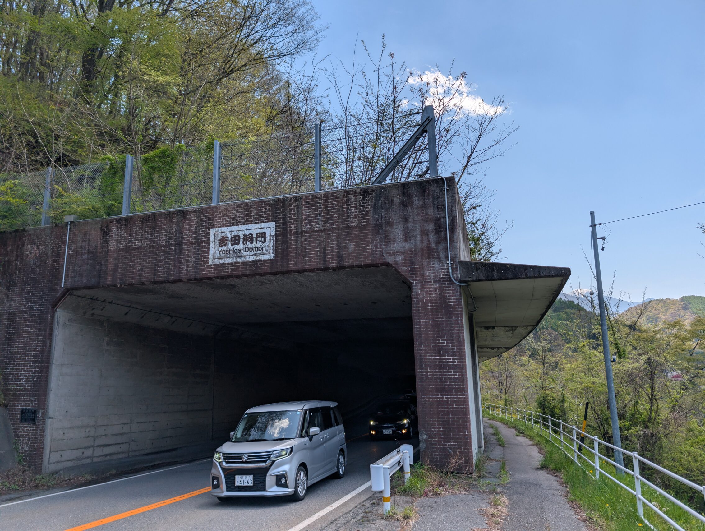
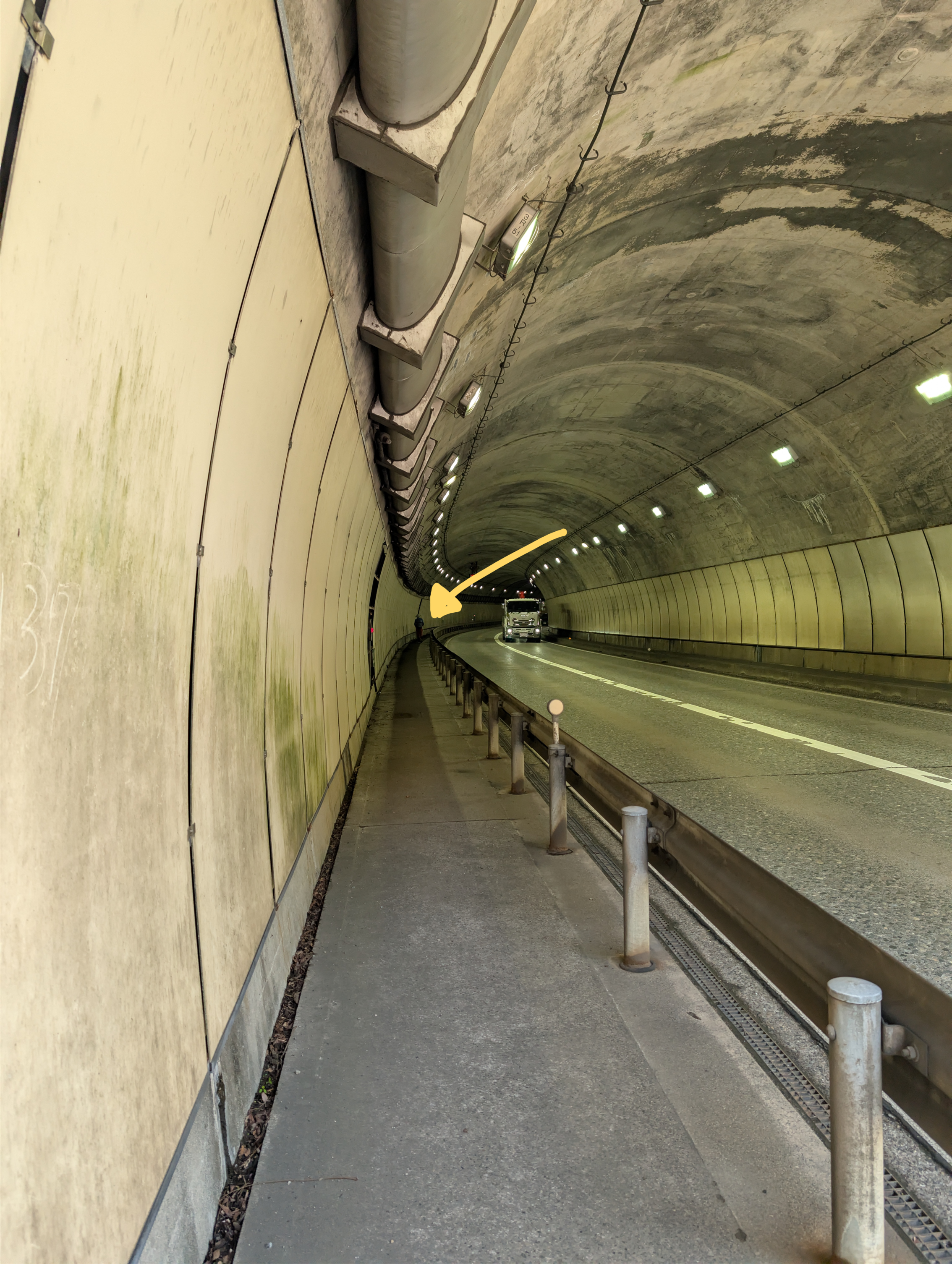
At two points along this leg the road you are following pass though tunnels. The first one is called the Yoshida tunnel, and is a pretty dismal place. There is a perfectly cromulent country road on the other side of the river where you can hike instead of using this tunnel
The second tunnel is even more dismal, but even smart hikers have to use it.
Further down the path, outside of the next post town Miyanokoshi-juku is an information board that claims to be at roughly the half-way point between Tokyo and Kyoto. It isn’t exact, as that is rather impossible nowadays as you can’t walk all along the “true” Nakasendō road anymore in all places, but it’s within a couple of kilometres of being correct, in either direction. And that is good enough for me!
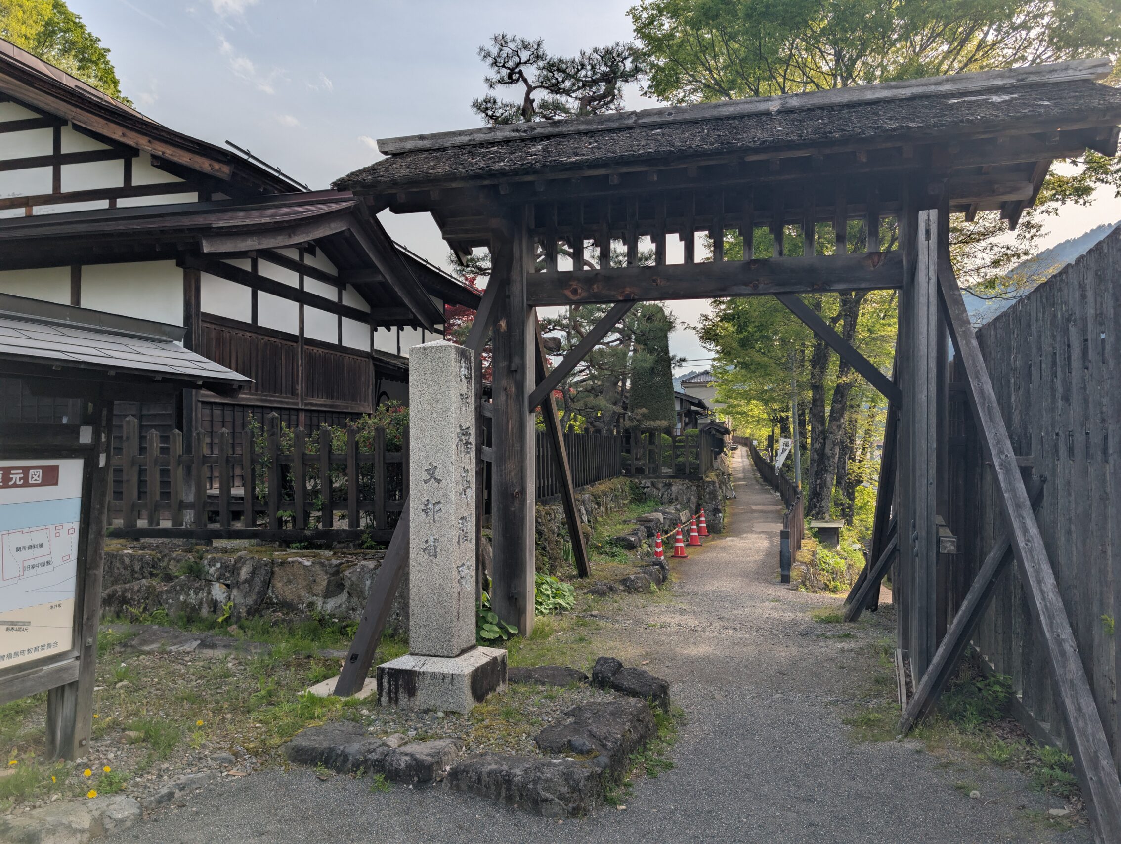
The town of Kiso-Fukushima (no relation) is straddling the Kiso river as almost all villages in the valley are. It is however most famous for having one of the two main gateways, or sekishos, of the Nakasendō. Unfortunately, all of the original buildings and the gate itself was torn down during the Meiji era, but they have been meticulously rebuilt according to as many old sources as possible.
Milestones passed today:
The Torii pass ichirizuka has a stone marker, but the original place for it is unknown. In fact most of the path across the Torii pass is sort of a modern invention. We don’t know exactly where it was during the Edo period.
The Shimoyoshida ichirizuka has been destroyed by the highway.
The Yabuhara ichirizuka has a stone marker next to the locomotive.
The Myanokoshi ichirizuka has a marker.
The Dejiri ichirizuka has what looks like the remains of a mound, but that is likely just remnants from building the National Route 19.
Map distance today: 20.5 kilometres.
App distance: 25.1 kilometres.


Leave a Reply