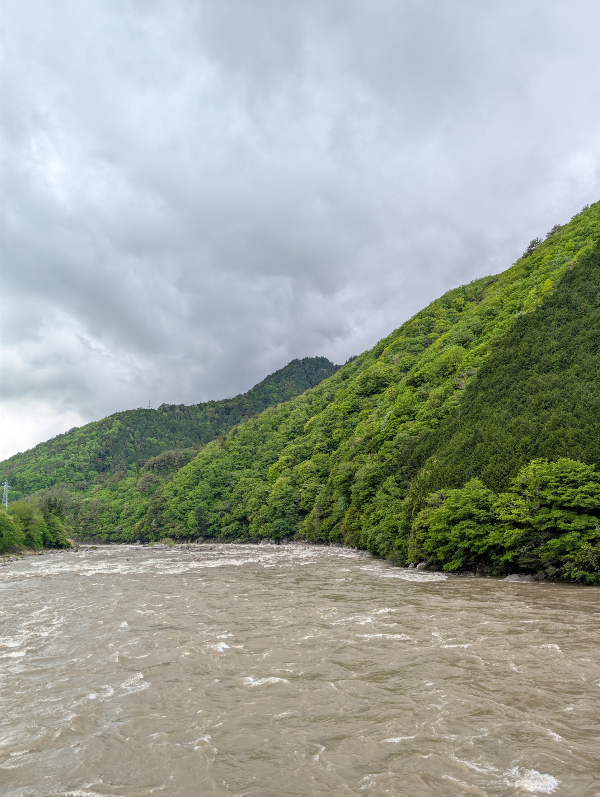
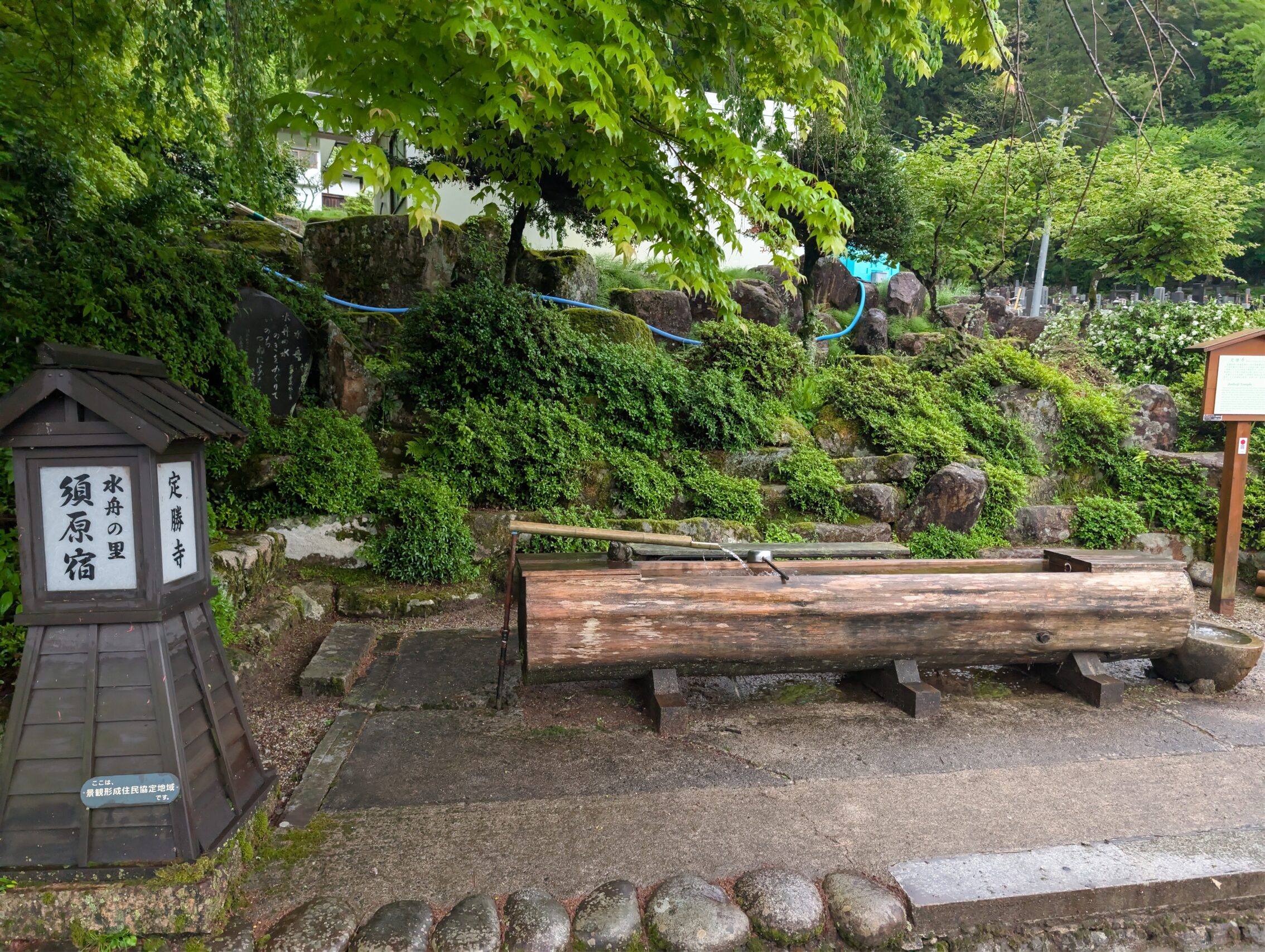
I rained *a lot* during the night when I stayed in the minshuku in Suhara-juku. My weather app even sent me flood warnings for the area… But a lot of rain brings another interesting change except for making everything wet. It turns rivers and streams brown and cloudy. All the mountain streams I have crossed since entering the Narai and Kiso valleys have been crystal clear, and so has the Kiso river itself. Not so today. The first stream I encountered was mud coloured! And even the Kiso itself had turned brown.
Today’s blog post is going to be very water-themed.
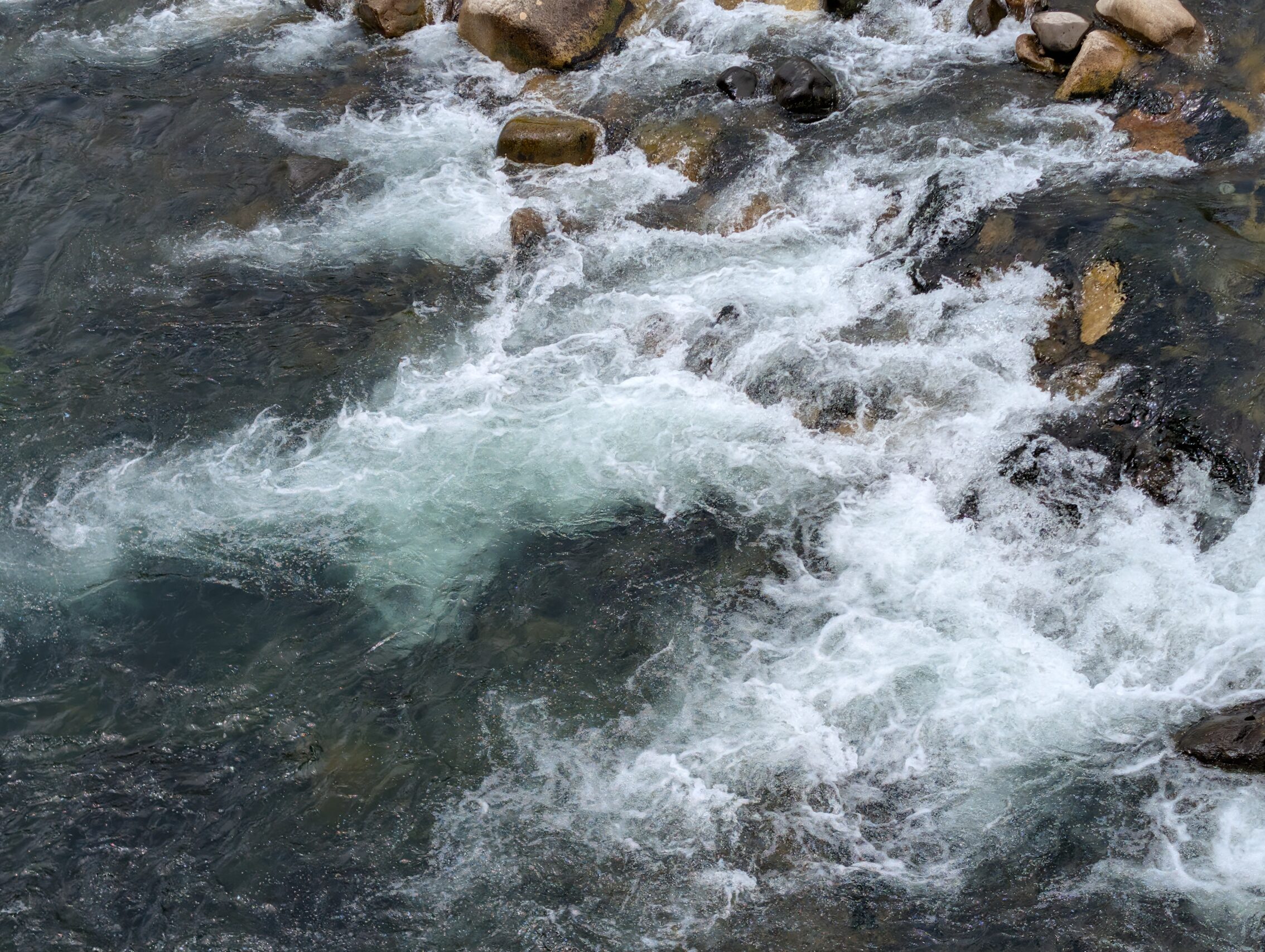
This is a stream from yesterday:
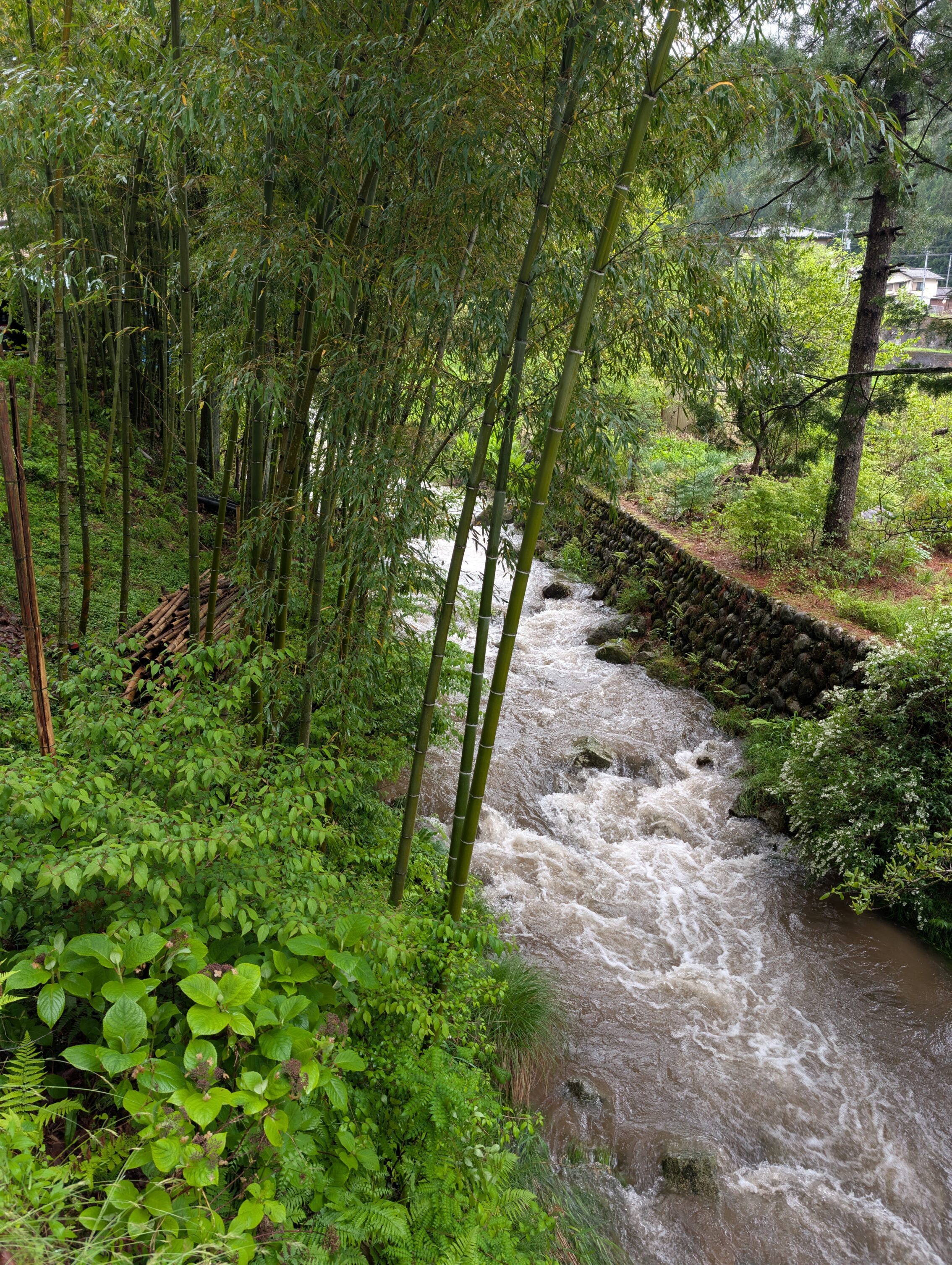
This is a similar stream today, after all the rain:
The fact that this rain came tonight illustrated something interesting very well. There are two rather large mountain rivers that flow into the Kiso, between Nojiri-juku and Midono-juku. They are the Atera and the Kakizore rivers. Both of them are famous for being spectacularly beautiful, with crystal clear pools, and chaotic rapids, nestled in their respective deep ravines. They are also famous for /not/ turning muddish brown even after heavy rains. There are geological explanations for this that depends on the hardness of the rock type that makes up the mountains in this special area, compared to many other places in the Kiso valley.

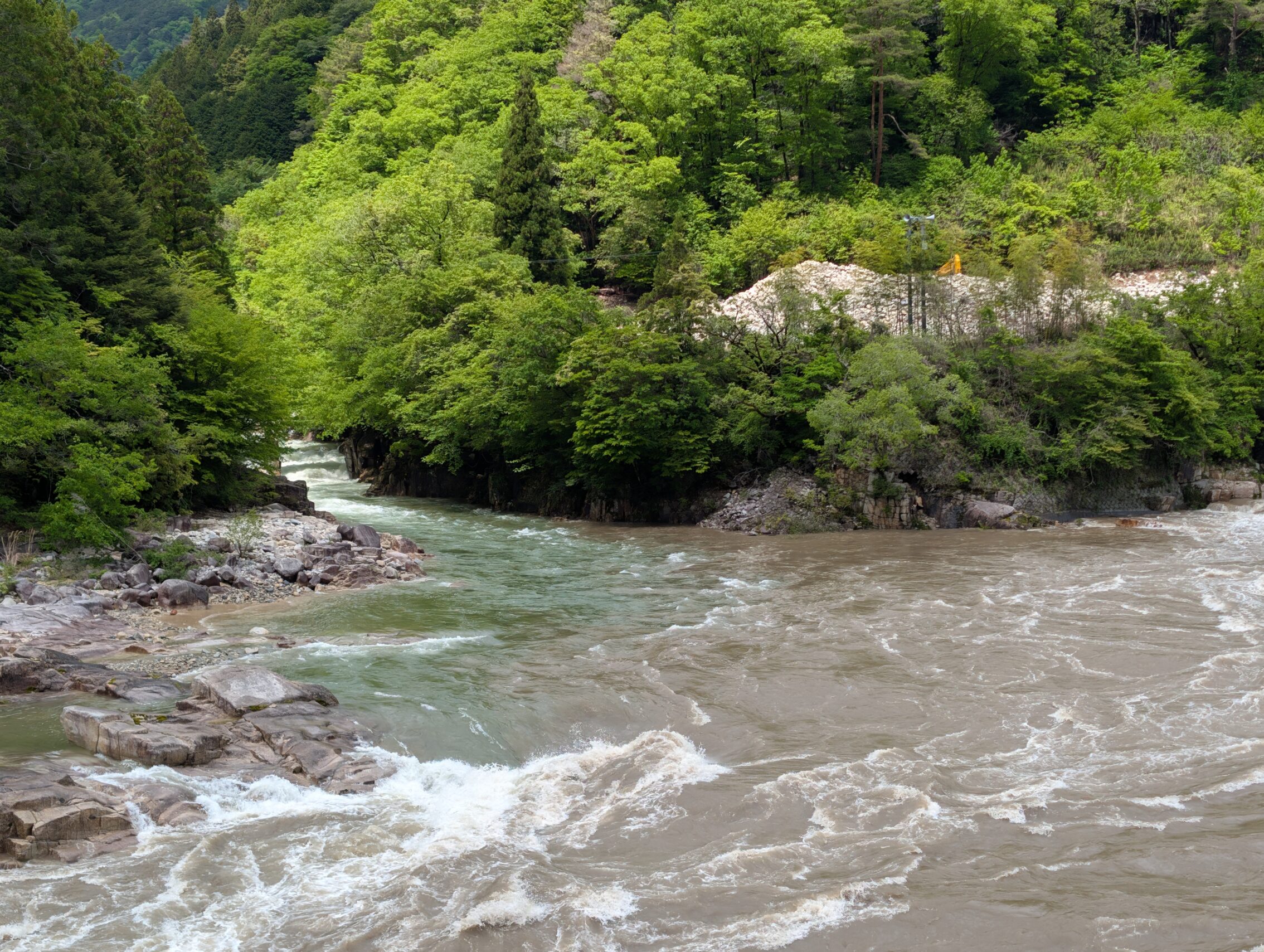
So it seems like there is some truths to these two rivers not turning brown!
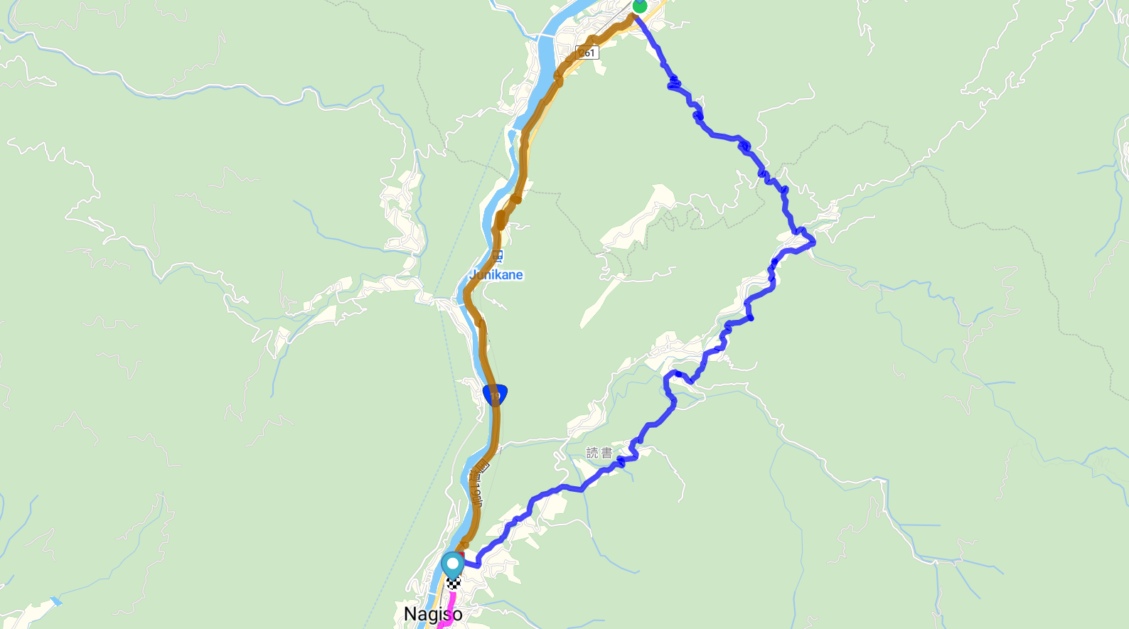
I headed up the Atera river valley, along the so called Sapphire road for a bit. I personally think the river looks more green than blue, but I suppose this varies with the season. The Nakasendō passes close to the bridge across the Kiso where the Atera joins it, but it is a decent detour.
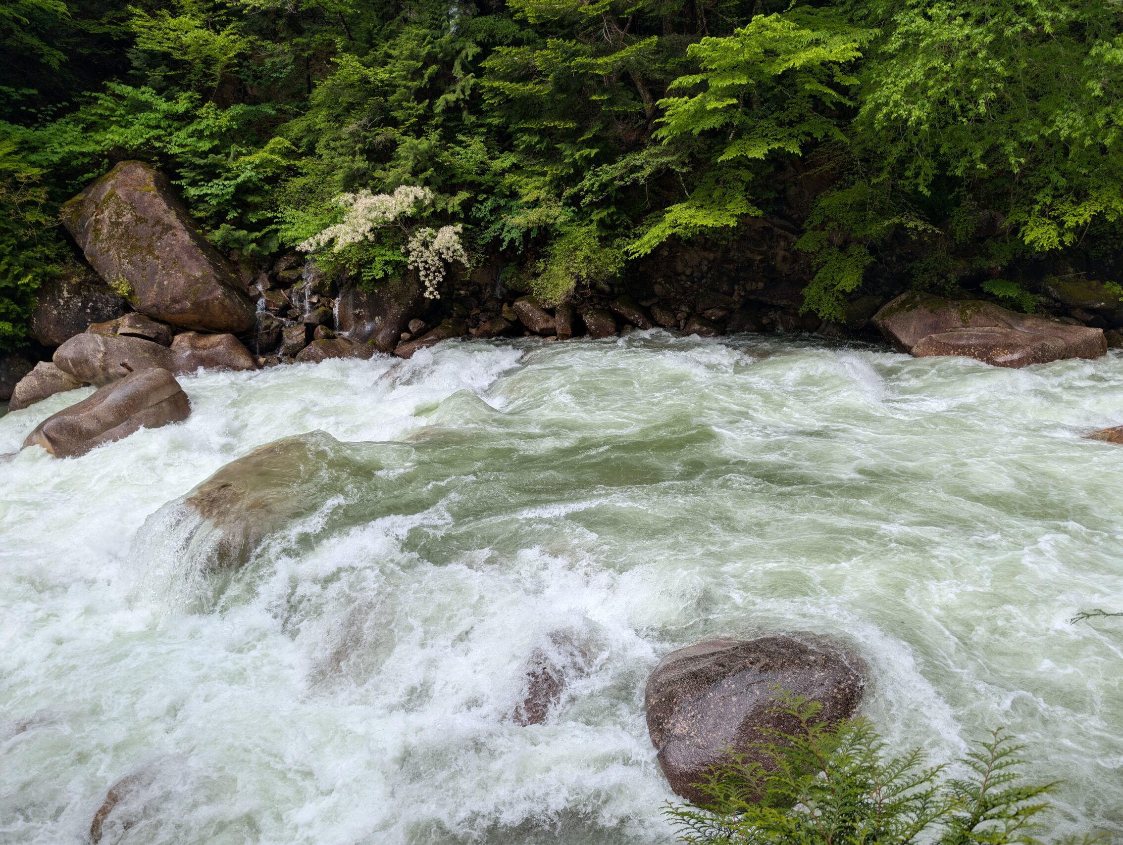
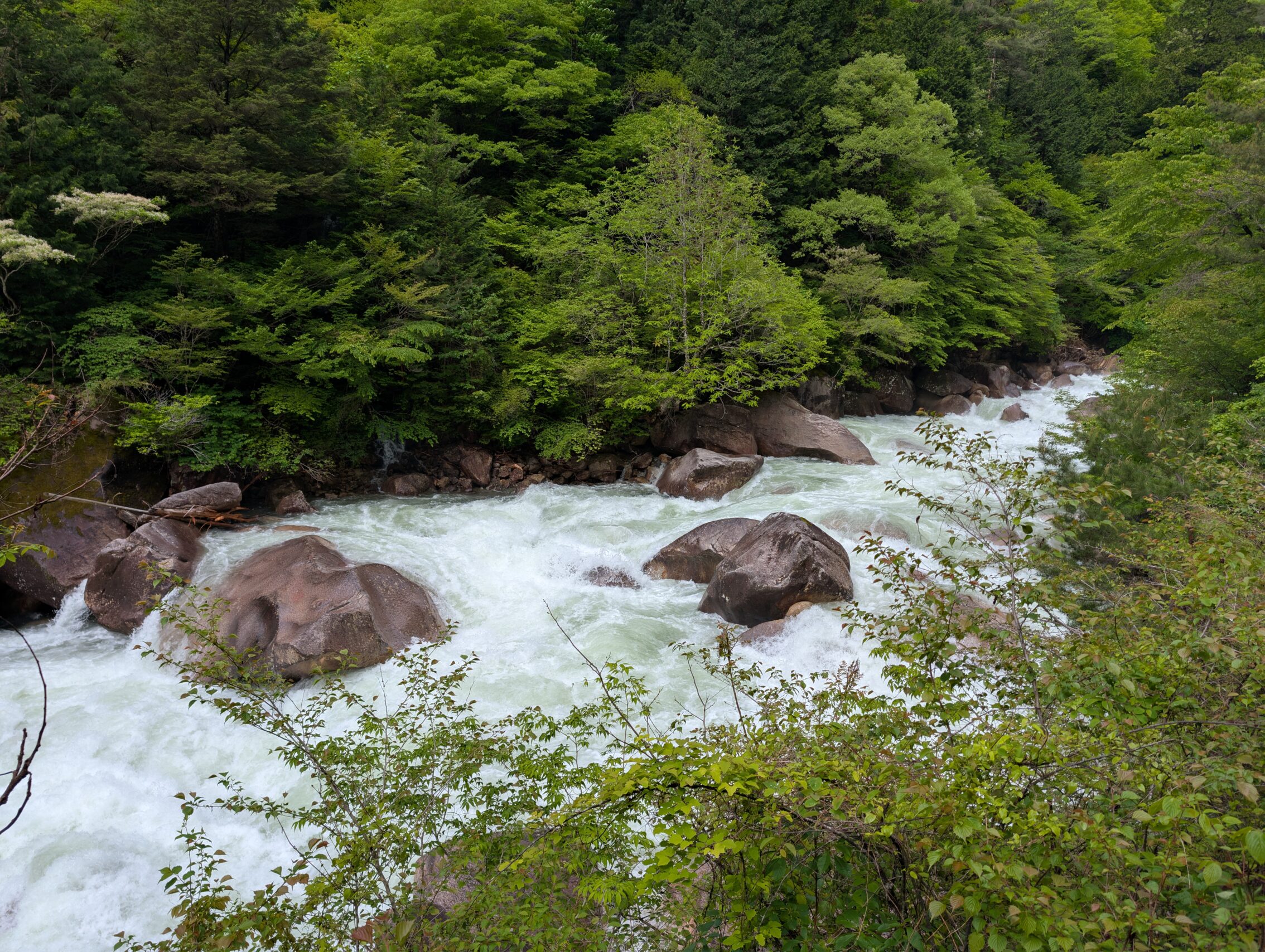
Suffice to say, the Atera river valley is extremely beautiful and well worthy of the hype. And I didn’t even get far enough to see where there are pools of crystal clear water amidst the rapids!
The Kakizore river is famous for a gorge that’s about four kilometres up in the mountains from the Kiso river. Unfortunately I didn’t have the energy for a detour like that, especially after having hiked up along the Atera as well.
Apart from following the Kiso river for most of the day, the Nakasendō takes a shorter detour from the river just south of Suhara-juku. This is because the so called Imei cliffs close to the Kiso were deemed too dangerous even in older times, and after too many floods washing the road away, in addition to the mountain crumbling which caused devastating rockfalls and mudslides, the route was changed to round the mountain instead.
The next leg also had problems with especially floods, which made people a bit wary of having to wait for possibly weeks in the valley while the floods receeded, and then just hoping the road hadn’t been washed away. In order to mitigate this, a second path was drawn up between Nojiri-juku and Midono-juku, one that crossed the wild and rugged Nenoue pass instead of following the river.
Mileposts seen today (or not seen, in some cases). As is the standard in the Kiso valley, none of these have any mounds left, and are just represented by stone markers. Well, probably. See below.
The Okuwa ichirizuka is not on the Nakasendō anymore. It was on the path when it still went along the Imei cliffs, but when that was changed, the milestone wasn’t moved. It ought to be reachable with a short detour, but a huge construction site made that almost-impossible for me, so I gave up.
The Shimozaigo ichirizuka
The Jūnikane ichirizuka isn’t on the Nakasendō anymore, as both the railway and the National Route 19 are between the path and the stone marker. It isn’t too difficult to reach though using the pedestrian bridge at the Jūnikane train station, and requires another maybe 500 metres of hiking.
The Kanechiya ichirizuka is rather near the Nakasendō, but is blocked by the railway, but compared to the Jūnikane milestone, there is no easy way to remedy this. In order to get to this milestone, you have to cross the railway illegally, ie just walking across the tracks where there are no barriers, and then forge into literal wilderness for about 800 metres. There is no path to the ichirizuka. Suffice to say, I am rather happy not getting ticks, leeches, and whatever other bitey thing that decides to inhabit the forests here, so I didn’t bother with this one.
Hiking distance according to map, excluding the Atera valley: 17.3 km.
And according to the app: 22.3 km.


Leave a Reply